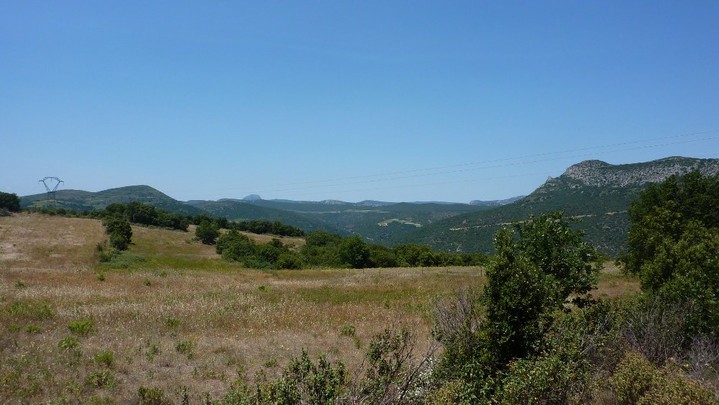
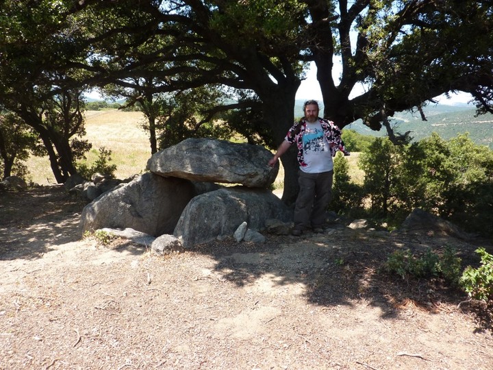
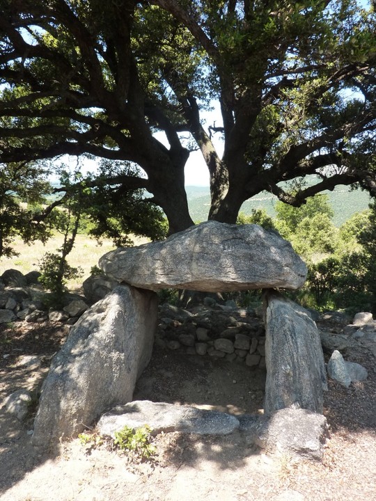
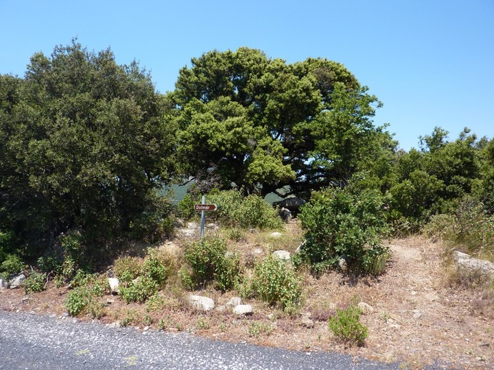
Signposted from Trilla, this looks on the map as though you could get to it from the lake but we'd driven that way, and didn't spot anything that looked un-gated and passable .....
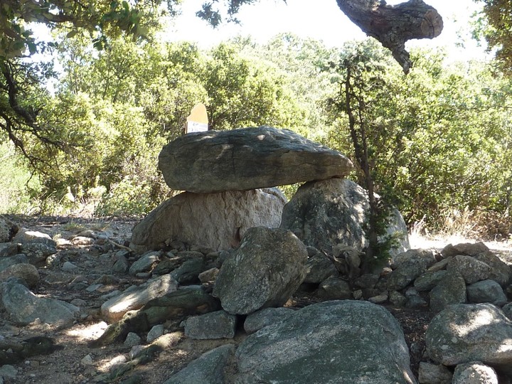
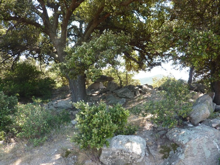
It's quite a way by track from the village - there were may points when we wondered if it was advisable to challenge the hire car - but the dolmen signs appeared every so often, and eventually after a 90 degree bend where the fields opened out, we found the dolmen tucked in a little copse.
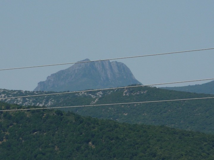
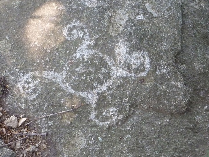
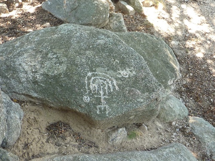
A breezy spot, with quality graffiti and an intriguing view towards the Pic de Bugarach - http://en.wikipedia.org/wiki/Pic_de_Bugarach

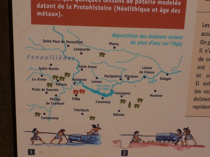
 Maps / Plans / Diagrams:
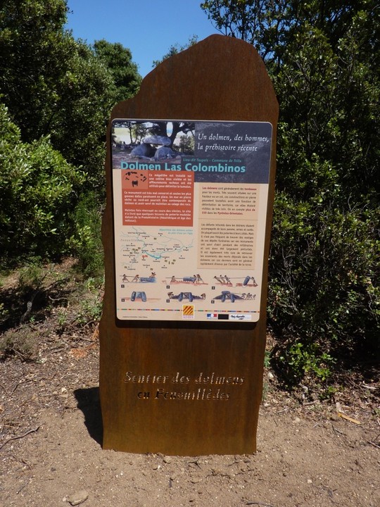