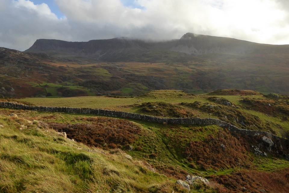
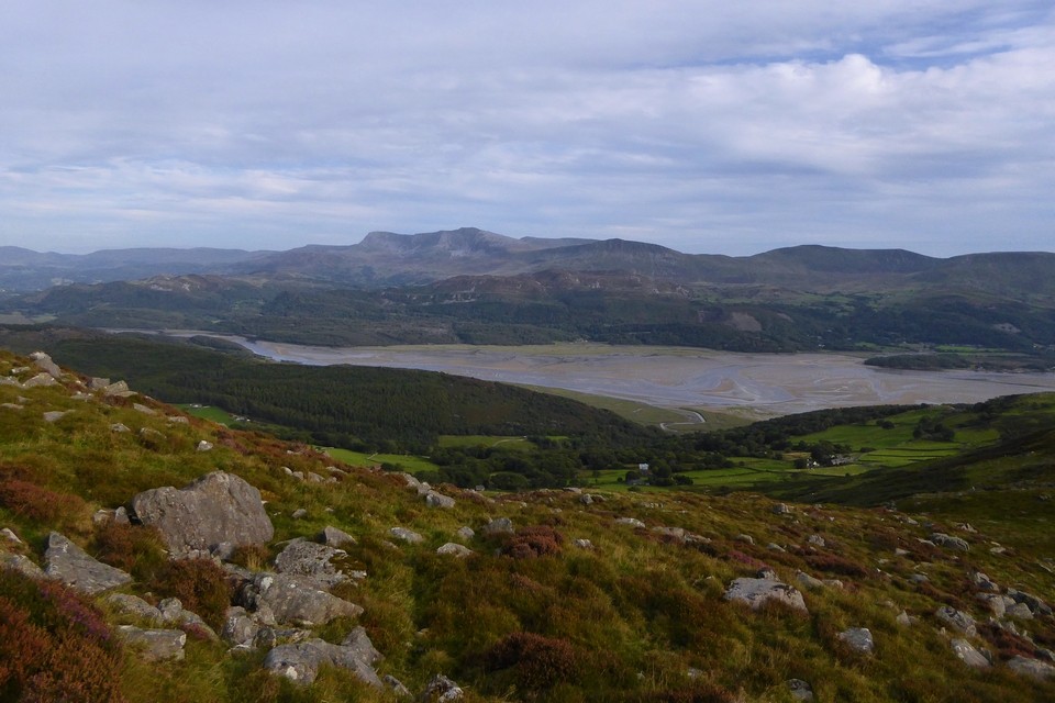
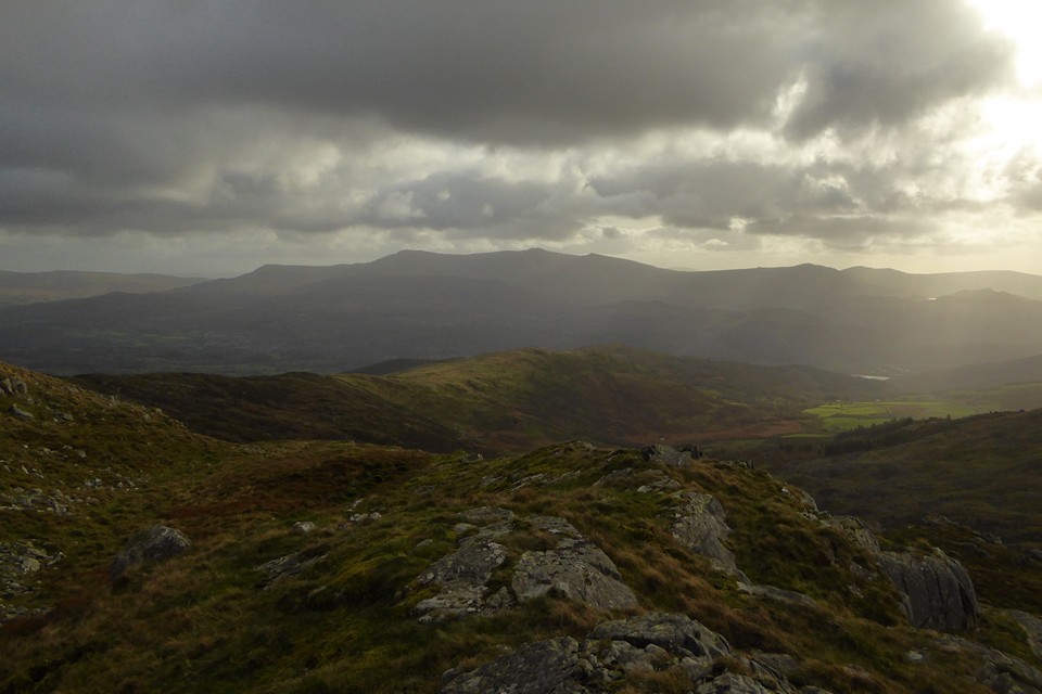
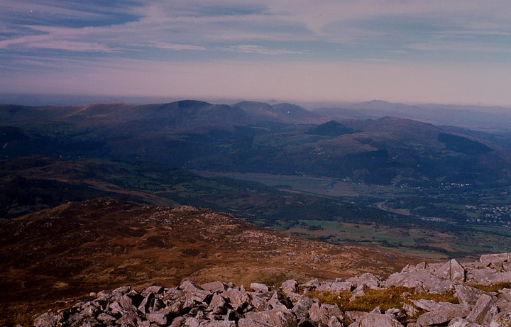
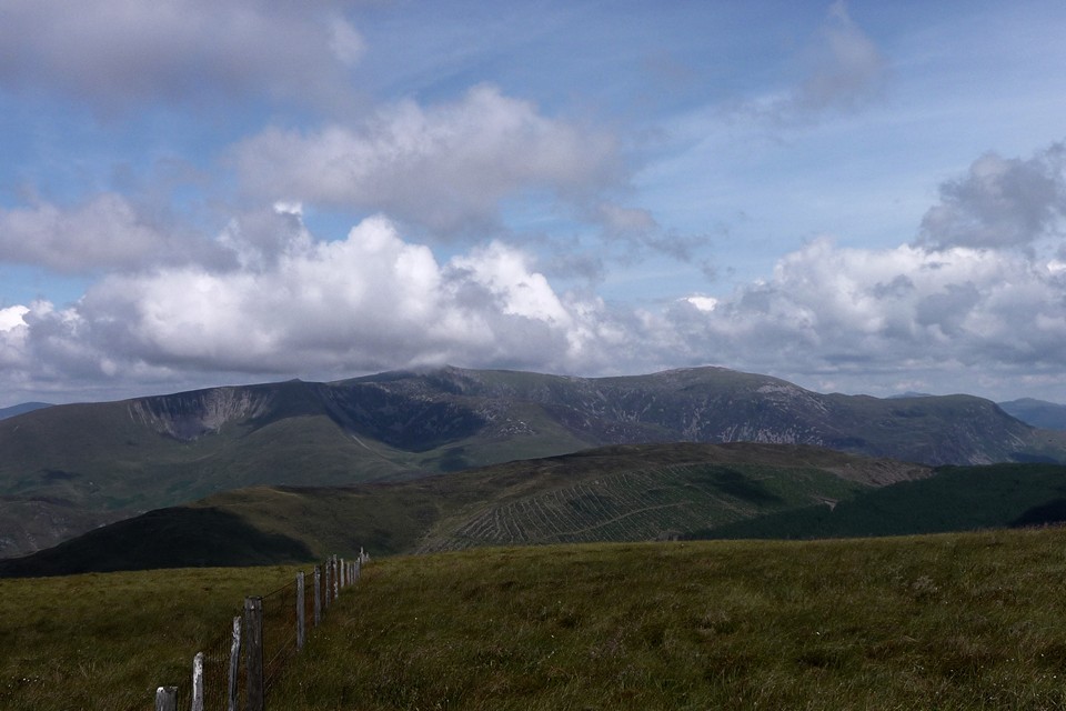
Mynydd Moel (2,804ft / 863m) is the eastern of the central summits of Cadair Idris, that wondrous mountain ridge rising more or less straight from the sea south of the beautiful Mawddach Estuary. Numerous lakes flank the massif at varying altitudes... creating, it may well be argued, an ideal landscape context for the siting of Bronze Age funerary cairns. Hence I've alway been a bit perplexed that none of the cairns crowning the main Cadair Idris peaks have been historically assigned an ancient origin (as opposed to the lower summits further to the west). Having said that the mountain is very popular with walkers, the cairns badly damaged. Unfortunately such judgements tend to be taken at face value... when what is required are inquiring minds driven by the evidence on the ground! (he says, hanging a guilty head in shame). But what views regardless!
It was therefore with considerable interest that I happened to browse Gwynedd Archaeological Trust (GAT) records and note the following, particularly the reference to 'an arc of kerb to SW' (PRN 4768):
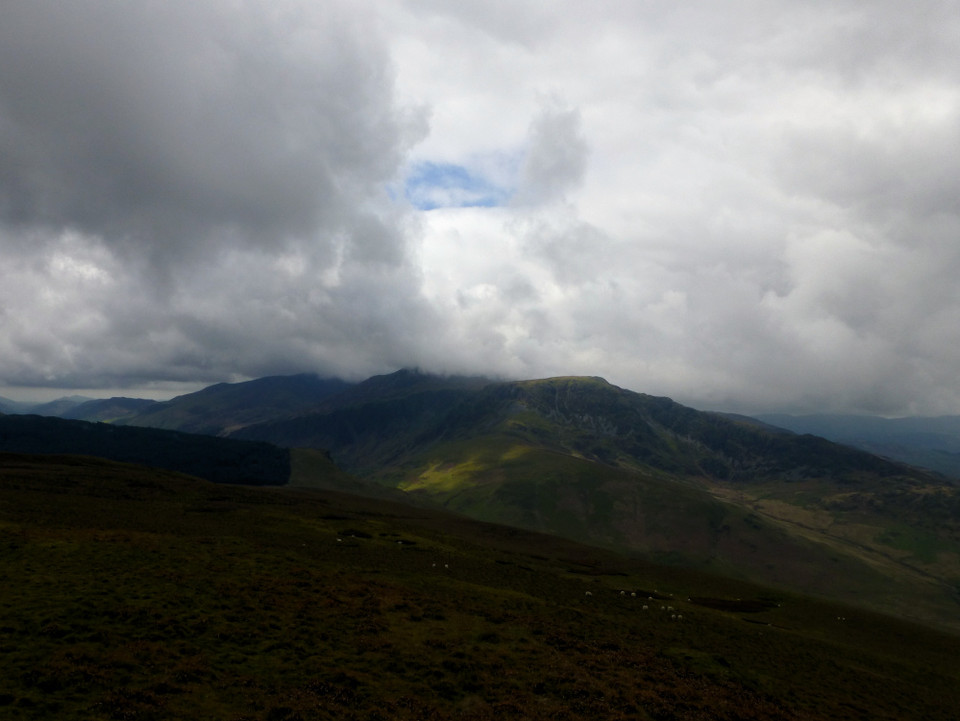
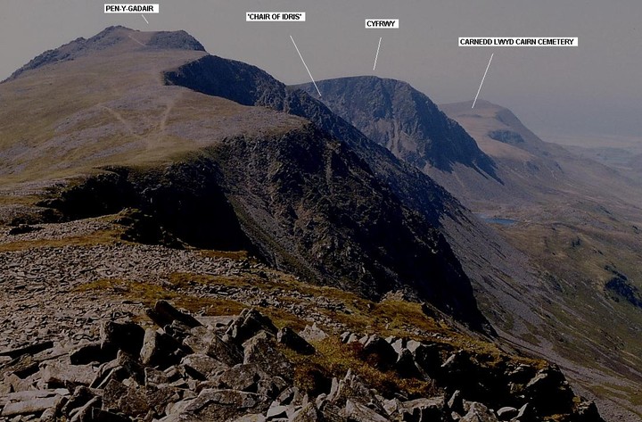
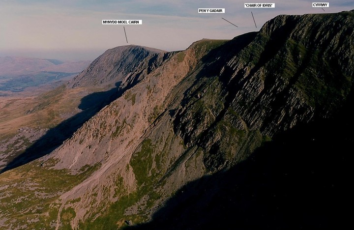
'A cairn stands on Mynydd Moel, 10m to the SE of the highest point at 855m on the edge of steep crags. It comprises 'a low spread of stone, 15m diameter, heavily rebuilt to give a rectangular shelter, but with an arc of kerb on the SW and a stretch of 1m high facing formed by large stones set as headers filling a shallow gully to the NE'. [Sources: Crew, P. , 1980 , Archaeology in Wales; Smith, G. , 2001 , Prehistoric Funerary and Ritual Sites Survey: Meirionnydd].
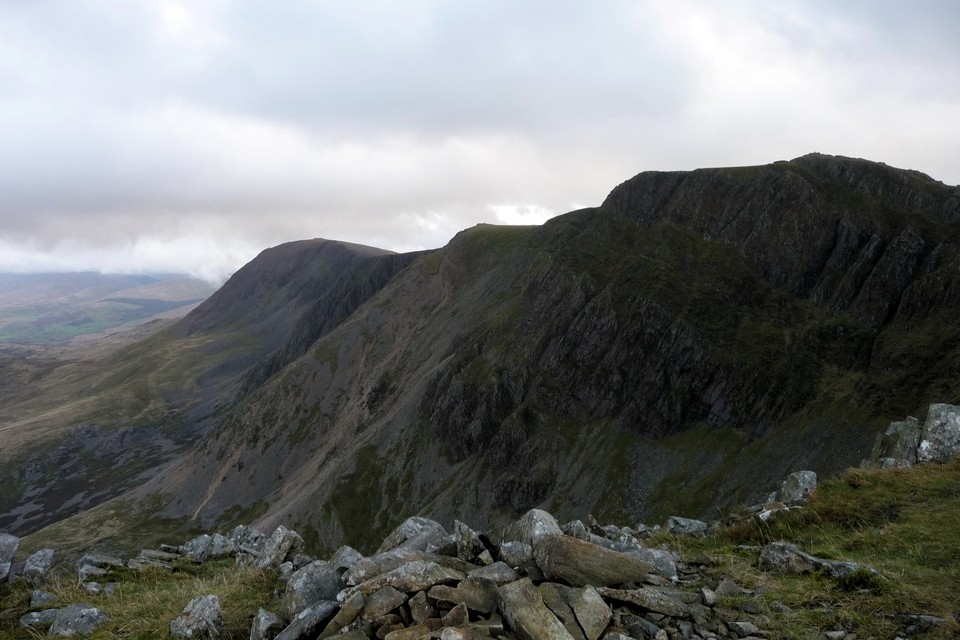
Looks like TMA needs some close-ups for confirmation, then.....

 Posted by GLADMAN