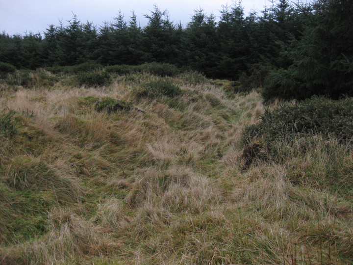
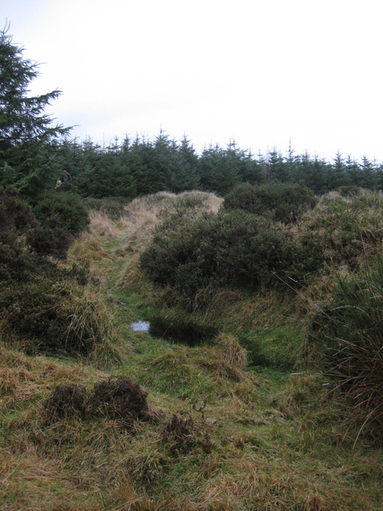
I've been here many times and never once have I taken a satisfactory shot of the place. It's on the left-hand-side of the track that you take to get to Ballymaice passage grave.
The forestry is planted very close to the edge of the ditch of the rath, but the west arc of the site is the most visible. This is yet another of those sites that I'd love to see cleaned up.
"The History and Antiquities of Tallaght In The County of Dublin" By William Domville Handcock, M.A.
Second Edition Revised and Enlarged. Dublin, 1899
The mountains and hills in the parish are :- Mountpelier; Slievenabawnoge, or the mountain of the lea; the hill of Ballymorefinn, or Finn's great town; Slievebane, or the white mountain; the mountain of Glassavullaun, or the stream of the little summit; Kippure, or the trunk of the yew tree; the Black hill; Seeghane, or the seat; Carrig (i.e., the rock); and Bryan's hill.
Amongst objects of archaeological interest dating from primeval times there are in the townland of Ballinascorney a rath called Raheendhu, or the black fort, and two stone circles enclosing the remains of a cromlech called the cairn of the second rock or the red hero?; in the townland of Ballymana a place of sepulture called Knockanvinidee, or the rennet hill?; in the town -land of Mountseskin a place of sepulture called Knockannavea, or the ravens' hill, and a mound called the Bakinghouse hill; and in the townland of Glassamucky a place of sepulture called, Knockanteedan, or the little hill of the blasts or gusts; while in the townland of Castlekelly there are a number of sepulchral mounds including three known respectively as Meave's hill, the hill of the rowan tree, and the red hill, as well as a cromlech and some stone circles; and on the hill called Seeghane, or the seat, there are a cairn and two cromlechs.
Amongst the wells in the parish are the following: - St. Paul's well, in the town-land of Kiltalown; Moling's well or the Piper's well in- the townland of Corbally; the Fairy well, near Tymon Castle; the Lime Kiln well at Balrothery; the Chapel well, on the brink of the Dodder near Tallaght village; and St. Columkille’s well in the townland of Oldcourt.
(The parish he refers to at the beginning of the entry is Tallaght. This passage includes a mention of the rath, but it also contains mentions of other known, and less well-known sites. Hmmmm.)

 Posted by ryaner