Linear earthwork of presumed later prehistoric date, comprising an earthwork bank and ditch, running roughly east-west from Knoll Down towards White Horse Plantation. Three sections are the subject of two schedulings.
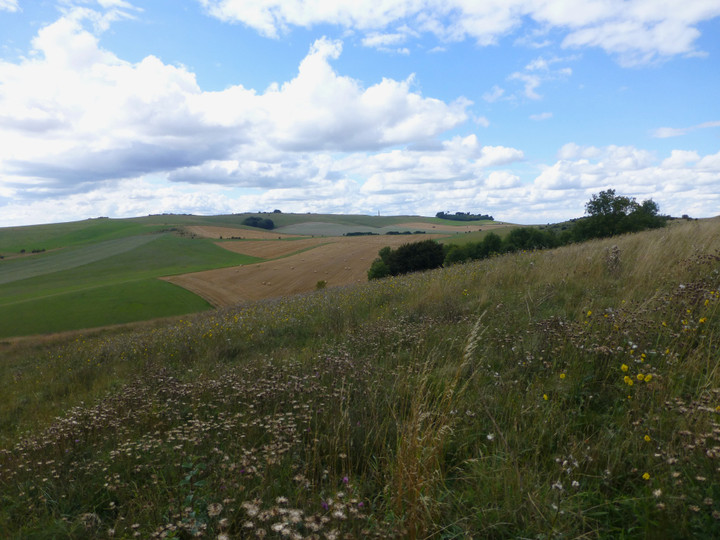
A generally well preserved, grass covered, linear boundary bank and ditch (erroneously described by Crawford (a) as the Old Bath Road - this feature is published and described on OS 25" about 100.0m to the N - extending almost continuously for 2320m in a NW-SE direction, from SU 05106958 to SU 07366918 along the S side of a dry valley in which are vestiges of Field Systems (see SU 06 NE 98, 123) A gap in the linear of some 200.0m occurs between SU 06976945 and SU 07136932 where its
continuity is represented by crop marks and a parish boundary. The earthwork has an average width of 12.0m with a flat-topped bank up to 7.0m wide and 1.2m high, but considerably reduced on the S facing scarp where it passes through arable and a ditch up to 1.0m deep on the higher side. At its N end the bank and ditch has been utilised and overlaid by a probable Md or later sheep penning (see SU 06 NE 50), and at its eastern extremity, the S side of the bank partially overlies the outer bank of a saucer barrow (see SU 06 NE 48). It seems most probable that the linear represents a LBA/EIA ranch type boundary. Published 1:2500 survey revised. (1) The possible prehistoric linear earthwork has also been mapped from air photographs. (2)

 Posted by Chance