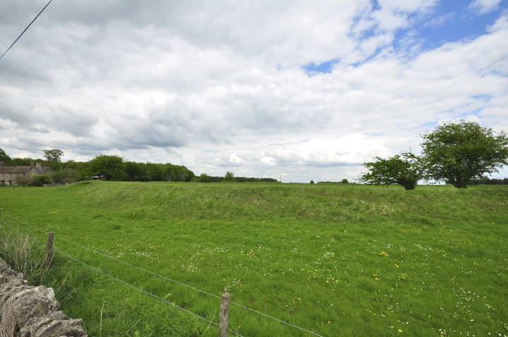
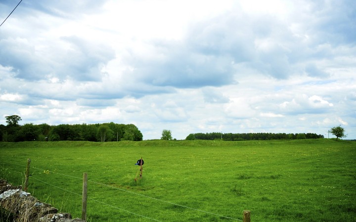
SP 181123 Windrush Camp (NR). (1) Windrush Camp is an Iron Age fort almost certainly to be identified with the round camp at Winderedge, south of Sherborne (Windrush occurs as Wyndridge in a document of 1590), which Aubrey describes as being 160 paces diameter, enclosing 6 acres with "the works double", ploughed up on the south and east sides. By Playne's time only a single bank and ditch remained, and by 1914 the ditch had disappeared. (2-8) Univallate, enclosing just over 3 acres. The 25 ft wide bank rises 5 1/2 feet above the interior and 7 1/2 ft above the generally levelled external ditch, which can be traced for only a short distance around the east angle of the bank. The entrance, a 25 ft gap in the bank, is on the west. (9) Windrush Camp consists of a single stony rampart with an average outer height of 1.5m, and inner height of 0.9m. There is no trace of an outer bank or ditch. The entrance on the west side is mutilated, and consists of a 9.0m break with indications that the bank on the south side turned outwards. The level interior is raised 0.6m above the exterior, and the earthwork itself is situated in a generally level area in a position of no great strength. Re-surveyed at 1:2500 on MSD. (10) SP 181 123. Windrush. Listed in gazetteer as a univallate hillfort covering 1.2ha. (11) Windrush Camp (SP 181123) univallate hillfort, unexcavated, encloses just over 3 acres. [Further detail and plan included]. (12) A rapid examination of air photography (14) suggests the presence of an outer ditch visible as a cropmark and a slight earthwork extending from the north side around to the east side of the hillfort. (13-14) Windrush Camp hillfort is a Scheduled Monument. (15) The Iron Age hillfort referred to above (1-15) is visible as an earthwork on aerial photographs. The hillfort has been mapped as part of the South Cotswolds NMP. The hillfort may have had two more defensive banks surrounding the inner rampart. On the east side of the hillforts main rampart is a ditch and bank, with the ditch on the southwest side, which is located from ST 1819 1237 to ST 1861 1228. This is first outer bank. Further north, a second curving outer bank and ditch was located on the NE side, with the ditch on the southwest side, extending from ST1813 1244 to ST 1819 1240. A small section of bank is located further southeast on the south side of the road, centred at ST 1823 1235, which appears to be the continuation of the second outer bank located to the north. The bank and ditch located to the NE have subsequently been plough levelled and were visible as cropmarks on aerial photographs taken in 1983. The banks and ditch on the east side still appear as slight earthworks. (16-18)

 Posted by Chance