Ah.... this'll be one for those who like the locating of their round barrows to present a bit of a challenge. Not least upon actually arriving at the spot where the maps reckons them to be. But there you are. Another piece of the Kentish prehistoric jigsaw (eventually) falls into place.
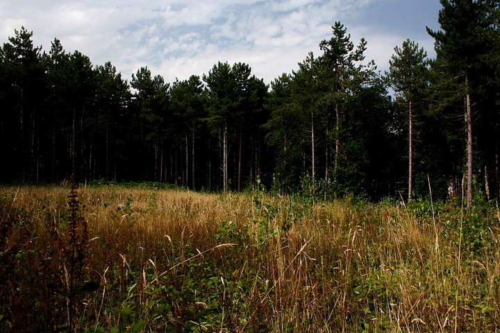
The first problem is to actually find the A290 turn-off toward Whitstable upon passing the fine city walls of Canterbury - not to mention shattered, yet none the less substantial rectangular shell of a Norman keep. Yeah, I miss the (presumed) signpost and consequently take a while to arrive at Blean. From the village I head east, past the local Londis, to Tyler Hill - watch the road here, some pretty sharp corners with hulking, great 4x4s taking far too much room - hence left (north), passing Frog Hall (no toads in these parts, apparently) to park at the Clowes Wood car park by Gypsy Corner. Now.... the required track actually heads north-west into the aforementioned forest beside a covered reservoir, to the far right as one approaches... needless to say, however, I venture along a track signed 'Dog Loop'. I realise my error when power lines duly bisect the track where none should be. North it is, then, before veering right near a tarmac section of the old railway to ascend to the highest point of the woods, the northern flank seemingly used as a mountain bike track. Although thankfully not today.
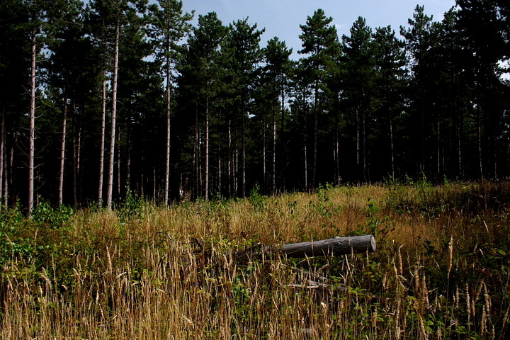
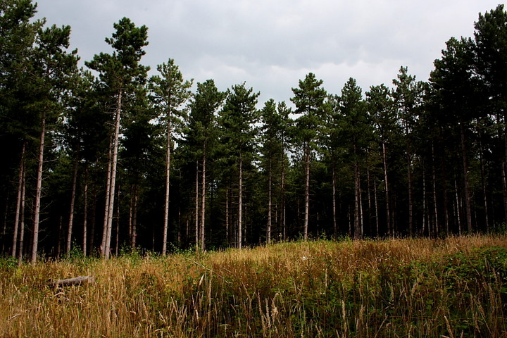
But where are the promised round barrows? To be honest it takes a while to decipher the landscape and suss out what is what. Sure enough there is a clearing at the highest point of the ridge, but the ground is covered in thick vegetation.... of the sharp, prickly, painful kind.... albeit with rather tasty compensation if you happen to be an aficionado of wild berries. The western - and according to the map, smaller - barrow is completely submerged beneath fern. Beyond, however, it is possible to discern the raised profile of a much more substantial monument, at least in terms of footprint. A central depression filled with charred wood is the clincher. So... not exactly the finest example of a round barrow one could wish to see and, frankly, I'm initially somewhat disappointed. But then the grasshoppers begin to resume their racket, birds twitter and distant road noise fades to the inconsequential. Yeah. I decide I like it here after all, marooned upon my prehistoric 'island' within a sea of bramble. Clowes Wood has vibe. Something that can not be purchased, something that is hard to come by nowadays. Priceless, you might say? Upon having a wander I reckon this would actually appear quite a significant round barrow should all the greenery be removed. But then again perhaps it is fine just as it is?

 Artistic / Interpretive:
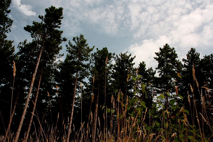
 Posted by GLADMAN