|
|

|
|
Ludgershall 1Round Barrow(s)
|
||||||||||||||||||||||||
|
|
|
Images (click to view fullsize) |
|
|
Fieldnotes |
|
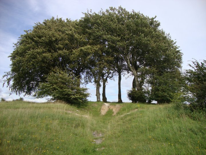
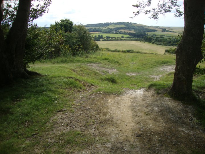
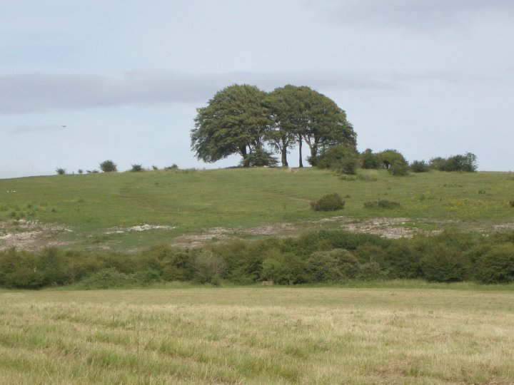
| This barrow, although the larger of the two barrows, didn't seem to have the energy of the smaller one. The rutted track made by the MOD traffic runs between the barrow and the Iron-Age Earthwork. This track has cut into the edge of the barrow but apart from this, the barrow is well defined. Records indicate that "a recent hollow in the centre of the mound" is noted in 1926, although no record exists of the contents. The "army triangulation point, concreted into the top" noted in 1972 has also been removed. |
 Posted by Chance
25th September 2012ce |
Miscellaneous |
|
|
Details of Barrow on Pastscape A bowl barrow, (Grinsell's Ludgershall 1). (SU 24635110) Tumulus (NR) (1) Ludgershall 1, a bowl barrow with a slight ditch and a recent hollow in the centre of the mound. Dimensions 12 paces in diameter x 2 ft high. Grinsell suggests that it may have been a sighting point for the north-south ditch (SU 25 SW 44) which makes an angulalr turn at this point. (2) A bowl barrow 0.5m high with faint traces of a ditch. An army triangulation point is concreted into the top. OS 1:2500 survey revised. (3) Originally recorded as Ludgershall 1 by Goddard. (4) -------------------------------------------------------------------------------- SOURCE TEXT -------------------------------------------------------------------------------- ( 1) Ordnance Survey Map (Scale / Date) OS 6" 1926 ( 2) General reference VCH Wilts, 1, pt 1, 1957, 181 (L V Grinsell) ( 3) Field Investigators Comments F1 NVQ 23-MAR-72 ( 4) General reference Wilts. Archaeol. Natur. Hist. Mag. 38. 1913-14. 281 (L.V Grinsell) |
Posted by Chance 9th August 2012ce |