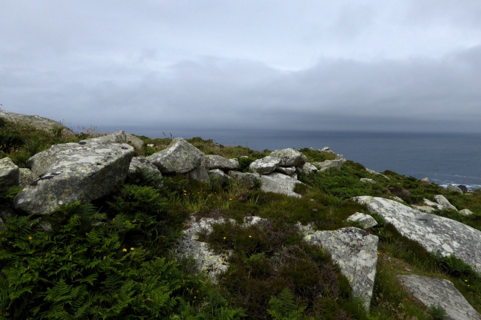
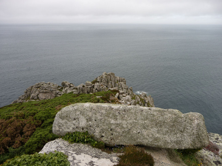
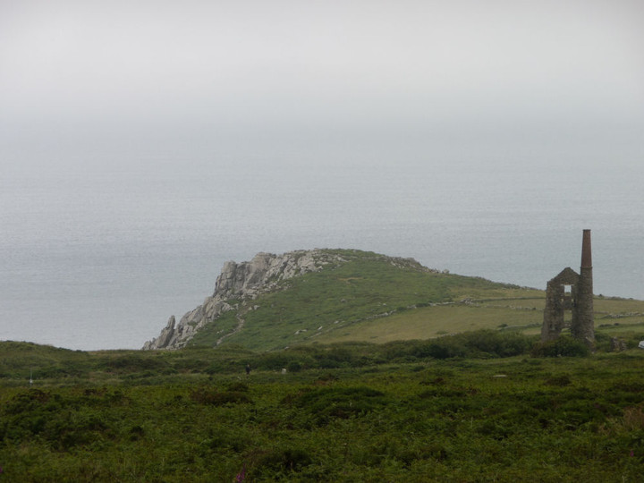
On the cliffs near this village is Bosigran Castle, a small promontory of bold granite rocks, across which the insignificant remains of a thick stone wall are believed by some to indicate that here is a specimen of one of the so-called cliff castles.
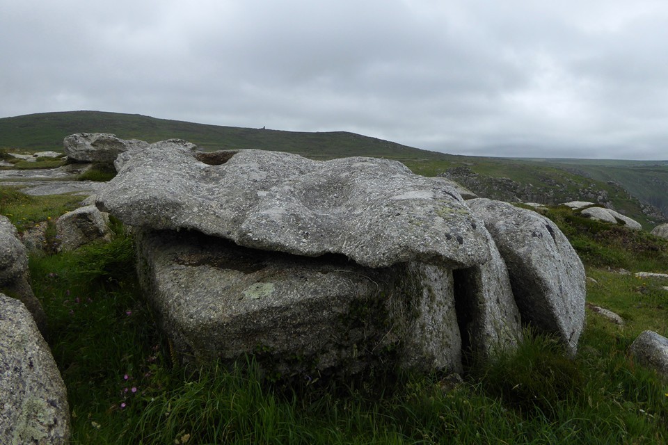
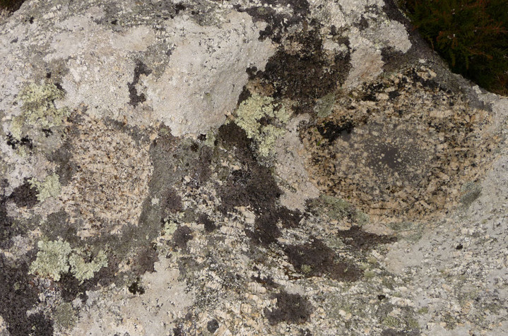
A large block of granite in the centre, covered at the top with rock-basons, is called the Castle Rock; and near this a large stone, scooped, as it were, through the top, is known as the Giant's Cradle.
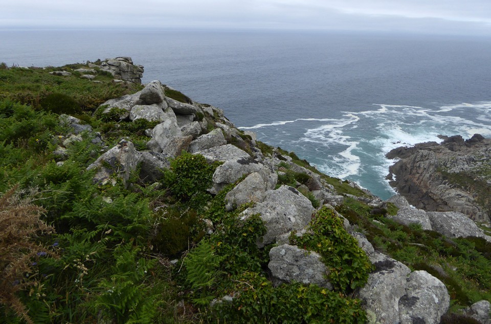
At the distance of a few yards from these, nearer the sea, is an excellent logan stone, a slab of granite over nine yards in circumference, with rock-basons on the top. A slight pressure upwards, or standing upon it, causes this rock to vibrate throughout its whole length.
Centred SW 4160 3695
[Extends from SW 4167 3695 to SW 4170 3685] Wall [SW 4167 3691]
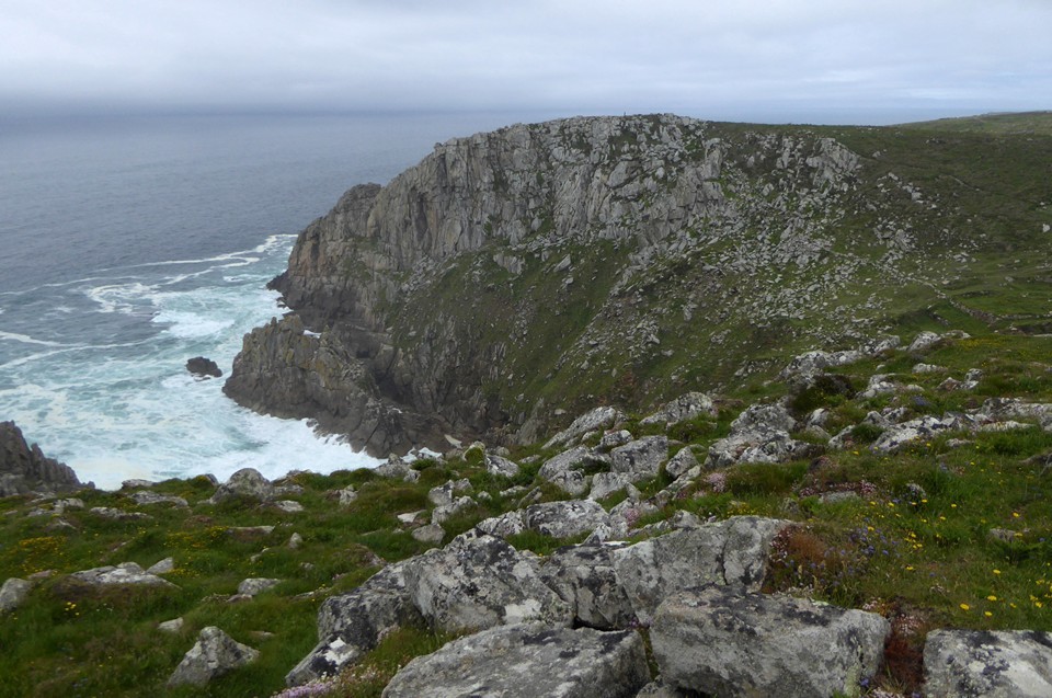
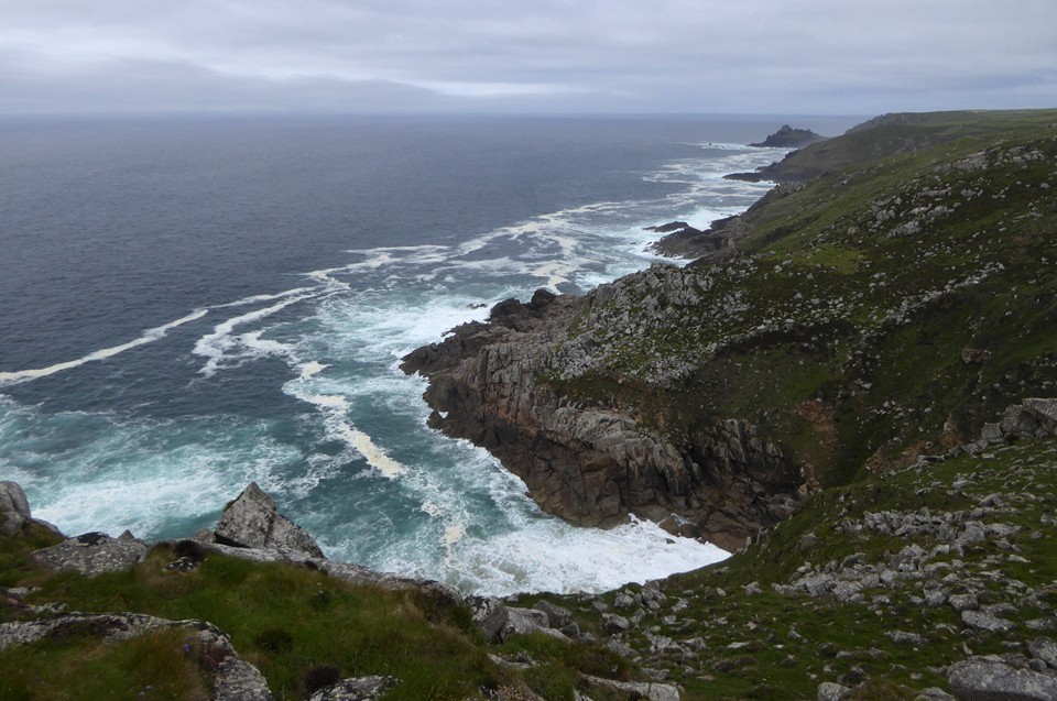
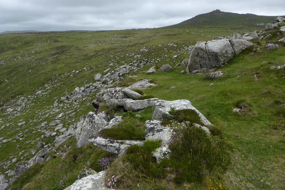
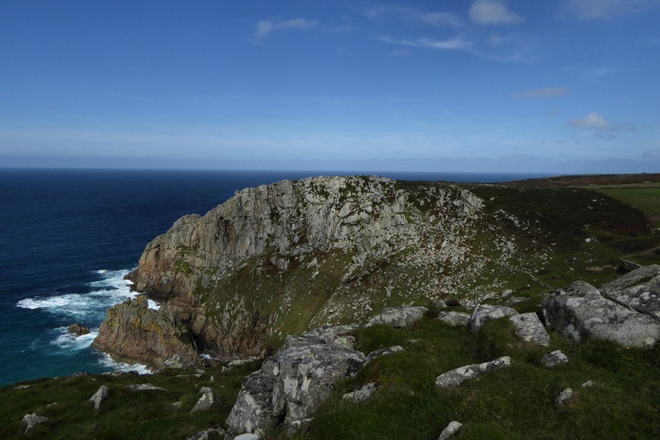
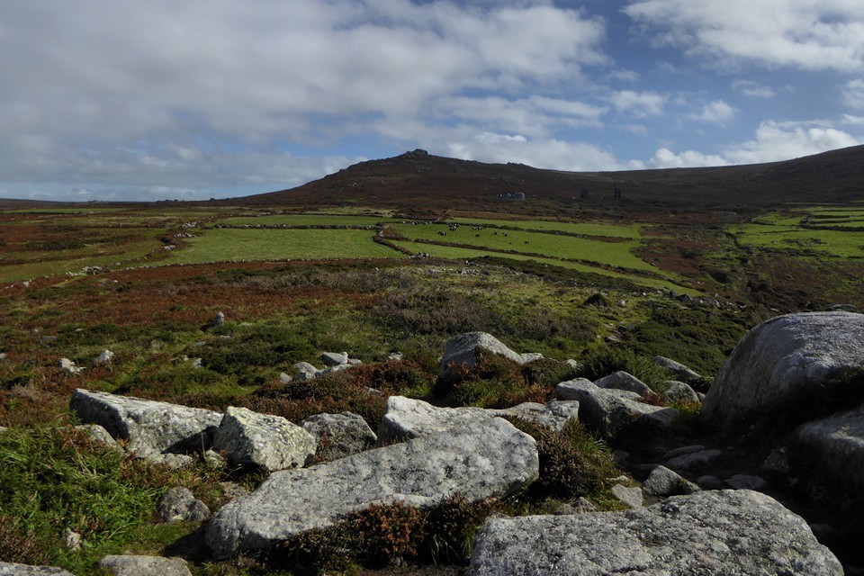
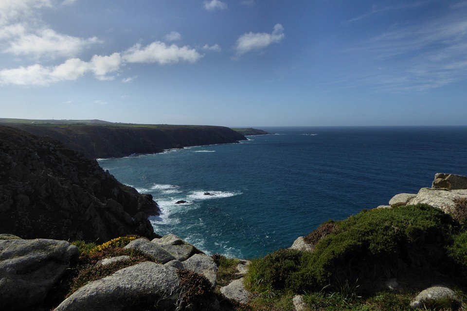
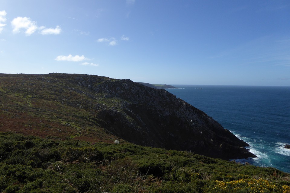
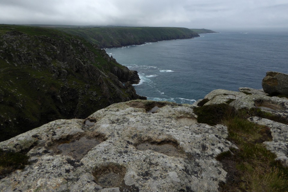
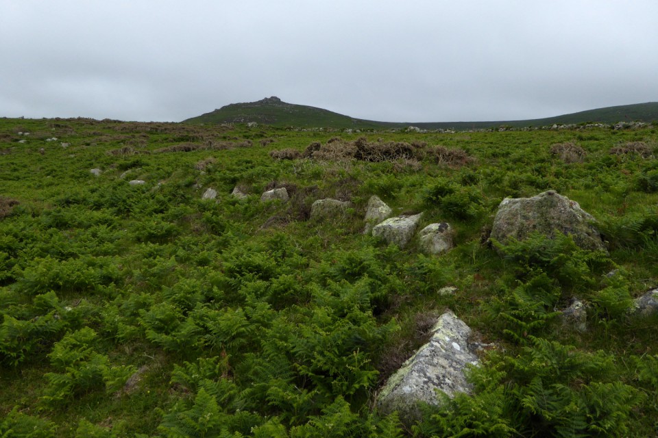
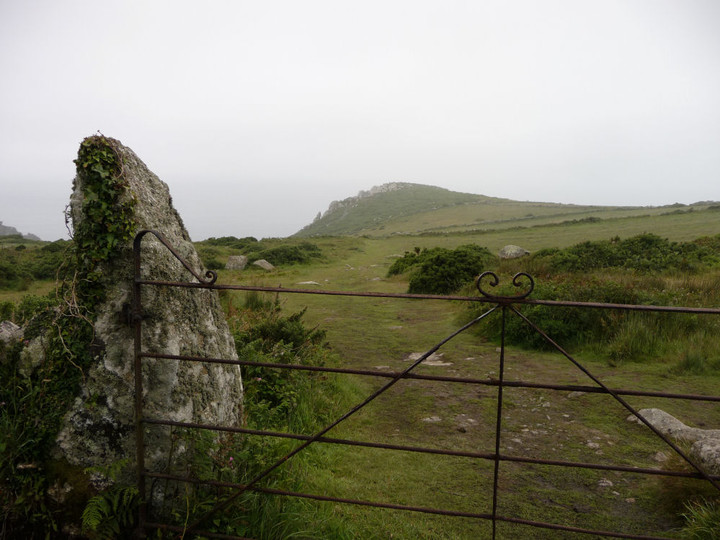
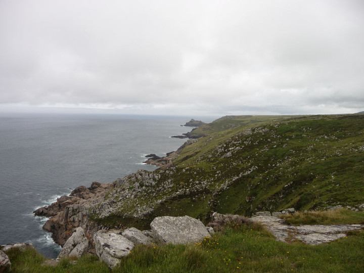
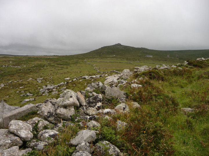
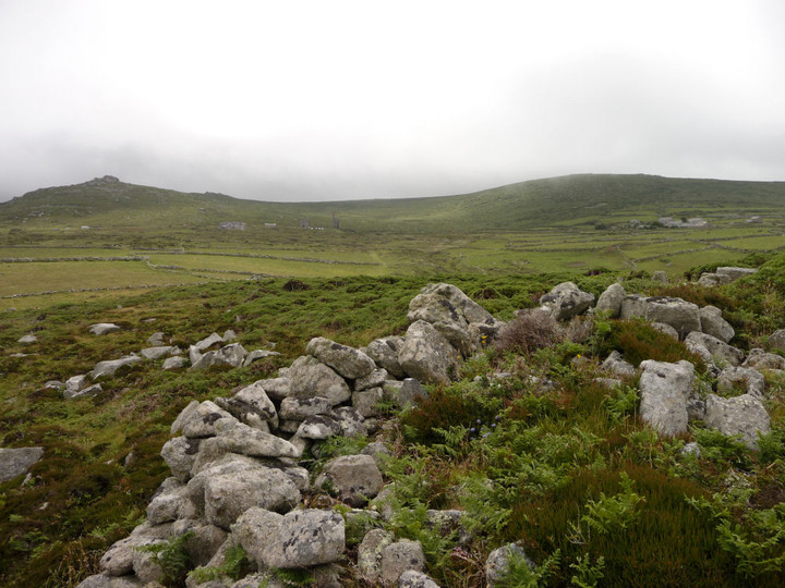
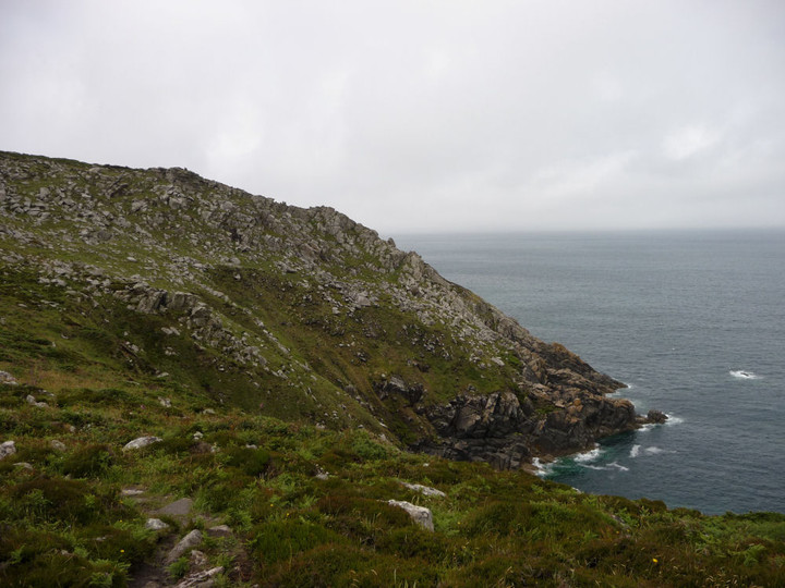
The headland concerned is ideally situated for defence and consists of a prominent granite outcrop oriented NNW-SSE. On the north, west and south sides there are steep rocky cliffs descending to the sea. Only to the east is there access from the landward side and even here there is protection given by the rocky slopes of the ridge.
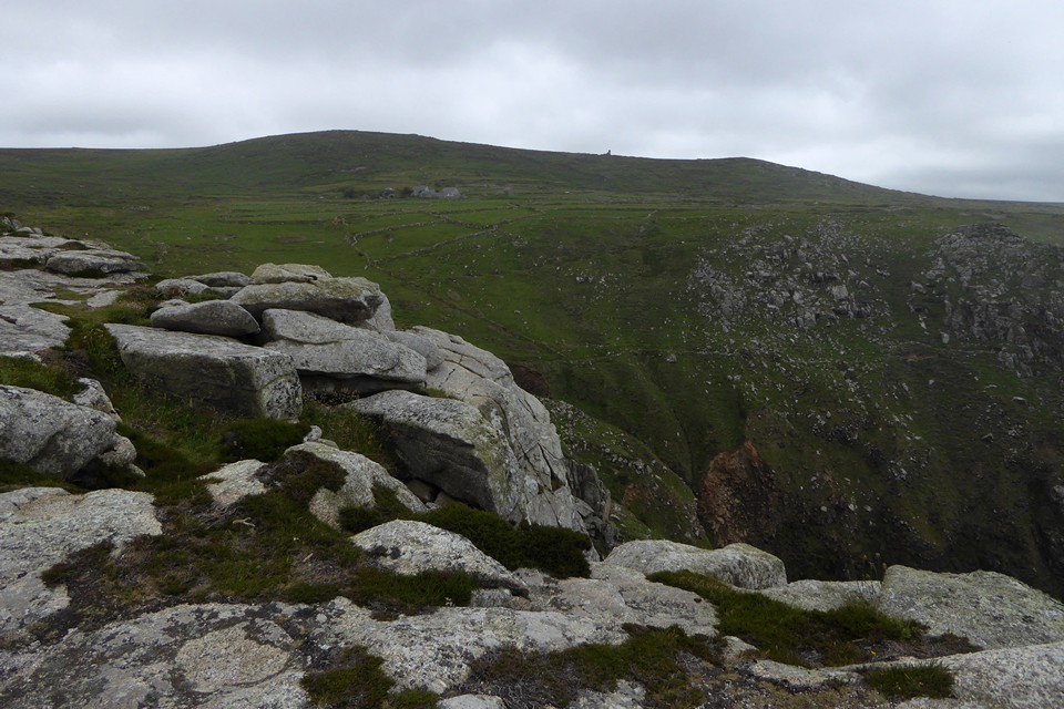
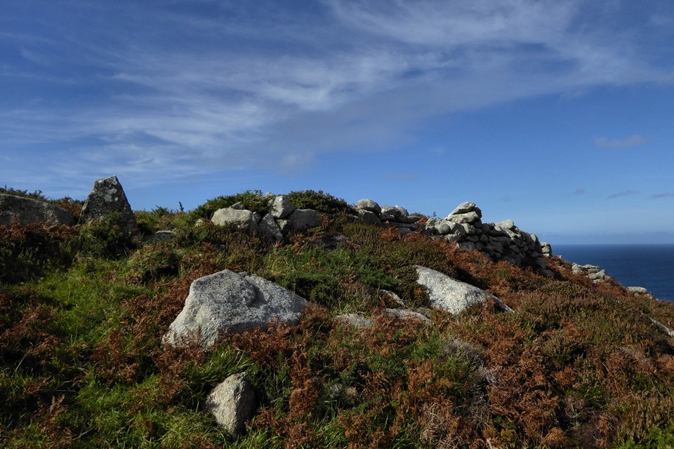
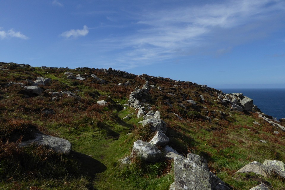
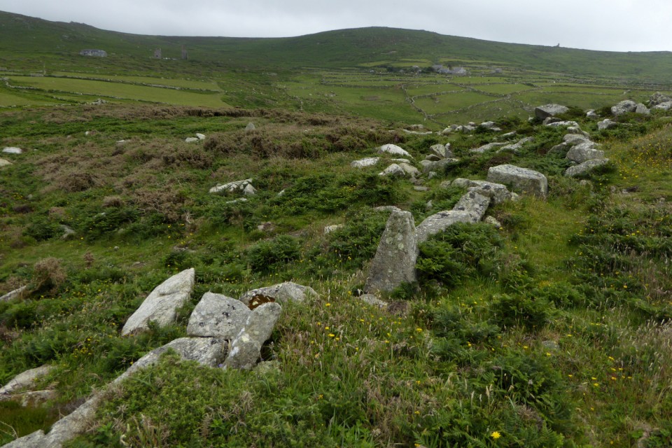
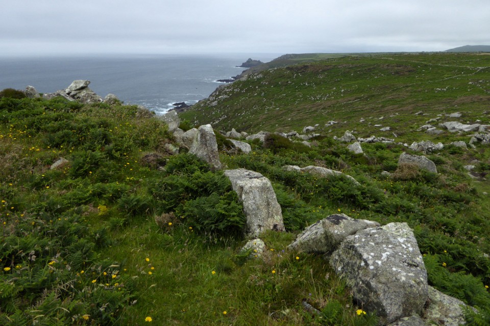
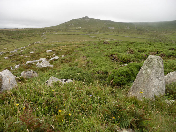
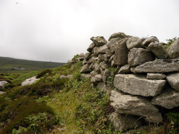
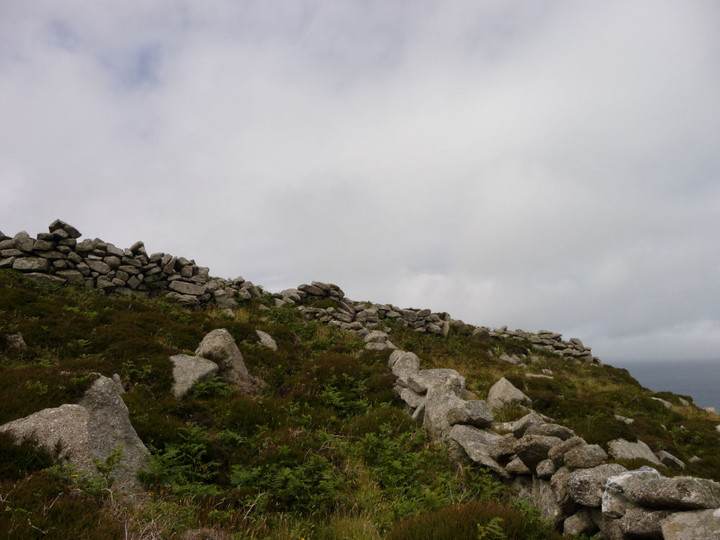
There is little doubt that an attempt has been made to isolate and fortify the promontory. The southern end of the east side of the ridge is the only vulnerable section, and here for a distance of 100.0m, is a stone wall following the upper edge of the escarpment and running from cliff to cliff. The northern half of this section has the additional protection of steep natural slopes. The landward side of the wall is of crude, dry stone, construction up to 2.0m high and retains on the west a bank of granite rubble 4.0m. wide and up to 1.2m. high. The southern part of the retaining wall appears to be a modern reconstruction. The only sign of an entrance is to the south where there is a small gap in the rubble bank, although the retaining wall is unbroken. A scatter of loose stones on the slopes below the wall indicates that parts of the wall have fallen and that it may have once been considerably higher. The wall, although now not very strong, is ideally situated for defence and commands a fine view of the level ground on the landward side making any unobserved approach practically impossible.
There are no traces of any internal occupation, the only features of interest being a logan stone and several fine rock basins. It is concluded that this is a promontory fort although the nature of the defences may indicate a use a an occasional place of refuge rather than a permanent habitation site.
A 25" survey has been made.
There may have been considerable erosion of top soil but there are no signs of habitation and any permanent settlement must have been on a minor scale.


 Posted by Rhiannon
 Posted by thesweetcheat