The Modern Antiquarian. Stone Circles, Ancient Sites, Neolithic Monuments, Ancient Monuments, Prehistoric Sites, Megalithic MysteriesThe Modern Antiquarian


Mulfra Hill

Standing Stone / Menhir

<b>Mulfra Hill</b>Posted by thesweetcheatImage © A. Brookes (20.6.2012)
Nearest Town:Penzance (5km SE)
OS Ref (GB):   SW45183532 / Sheet: 203
Latitude:50° 9' 44.64" N
Longitude:   5° 34' 6.24" W

Added by thesweetcheat


Discussion Topics0 discussions
Start a topic


Show map   (inline Google Map)

Images (click to view fullsize)

Add an image Add an image
<b>Mulfra Hill</b>Posted by thesweetcheat <b>Mulfra Hill</b>Posted by thesweetcheat <b>Mulfra Hill</b>Posted by thesweetcheat

Miscellaneous

Add miscellaneous Add miscellaneous
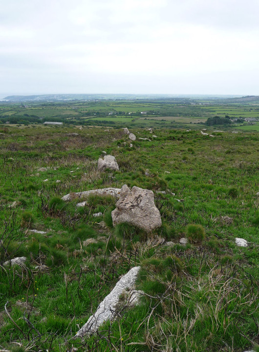
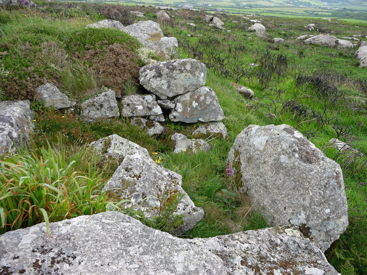
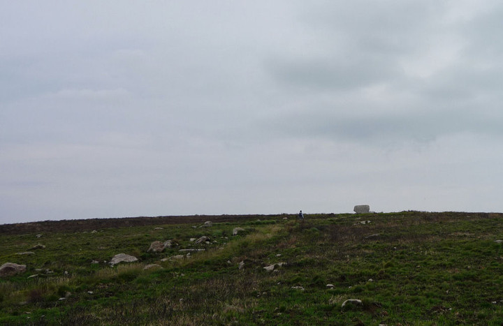
Recent (Spring 2012) extensive burning of gorse on the southern slopes of Mulfra Hill has revealed a probable prehistoric field system. A fallen standing stone was recorded on the slopes by William Copeland Borlase in 1872 and mentioned in Vivian Russell's 1971 West Penwith Survey.

I didn't know about the stone on our recent visit, so didn't look for it. It is mentioned in issue 78 of the excellent Meyn Mamvro magazine (which is when I realised what I'd missed).

The stone lies somewhere to the west of the path running up the hill from Mulfra courtyard houses to Mulfra Quoit.
thesweetcheat Posted by thesweetcheat
19th July 2012ce
Edited 19th July 2012ce