The Modern Antiquarian. Stone Circles, Ancient Sites, Neolithic Monuments, Ancient Monuments, Prehistoric Sites, Megalithic MysteriesThe Modern Antiquarian


Red Chamber East

Cave / Rock Shelter

<b>Red Chamber East</b>Posted by thesweetcheatImage © A. Brookes (4.4.2015)
Also known as:
  • Mansel's Shelter

Nearest Town:Burry Port (14km N)
OS Ref (GB):   SS42698670 / Sheet: 159
Latitude:51° 33' 24.08" N
Longitude:   4° 16' 10.09" W

Added by thesweetcheat


Discussion Topics0 discussions
Start a topic


Show map   (inline Google Map)

Images (click to view fullsize)

Add an image Add an image
<b>Red Chamber East</b>Posted by thesweetcheat <b>Red Chamber East</b>Posted by thesweetcheat <b>Red Chamber East</b>Posted by thesweetcheat <b>Red Chamber East</b>Posted by thesweetcheat <b>Red Chamber East</b>Posted by thesweetcheat <b>Red Chamber East</b>Posted by thesweetcheat

Fieldnotes

Add fieldnotes Add fieldnotes
Visited 30.9.13

Directions:
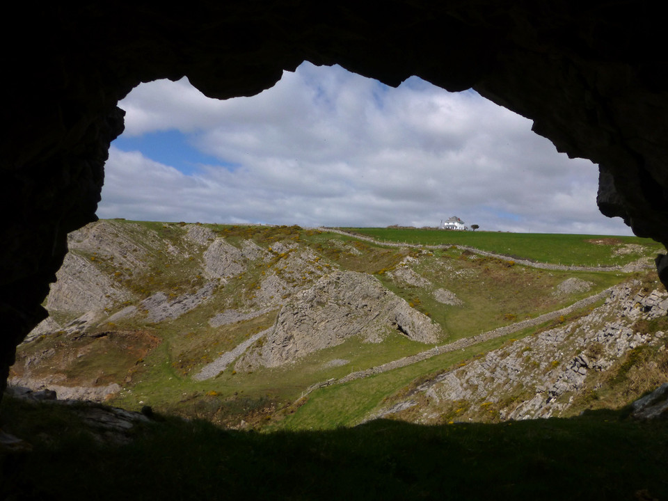
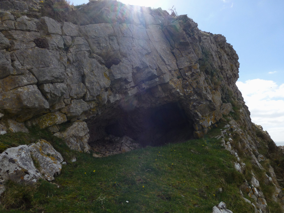
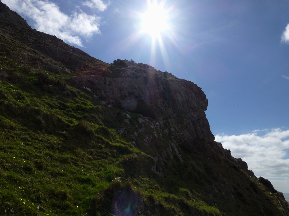
Mid way between Thrumba Camp and The Knave cliff forts. The cave can be easily seen from the coastal path near a stile. The cave is high up on the headland.

There is no ‘path’ to the cave but it is only a short walk from the coastal path through the ferns / gorse. However, the slope is very steep and you have to be very careful – I wouldn’t fancy walking to the cave if the grass was wet. Not somewhere to take a child that’s for sure!

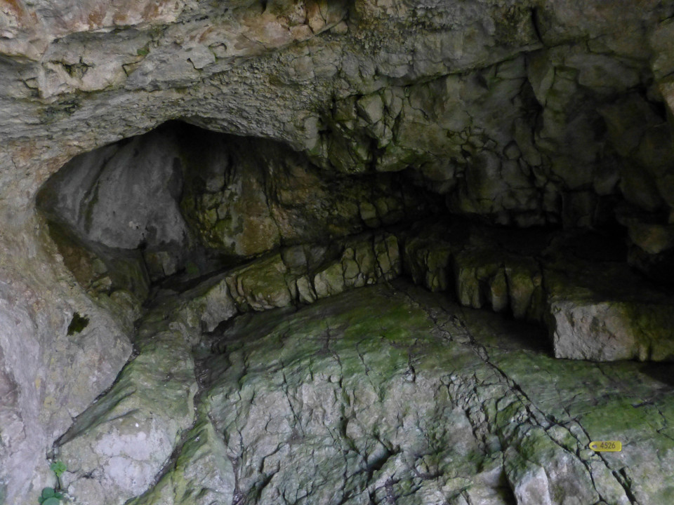
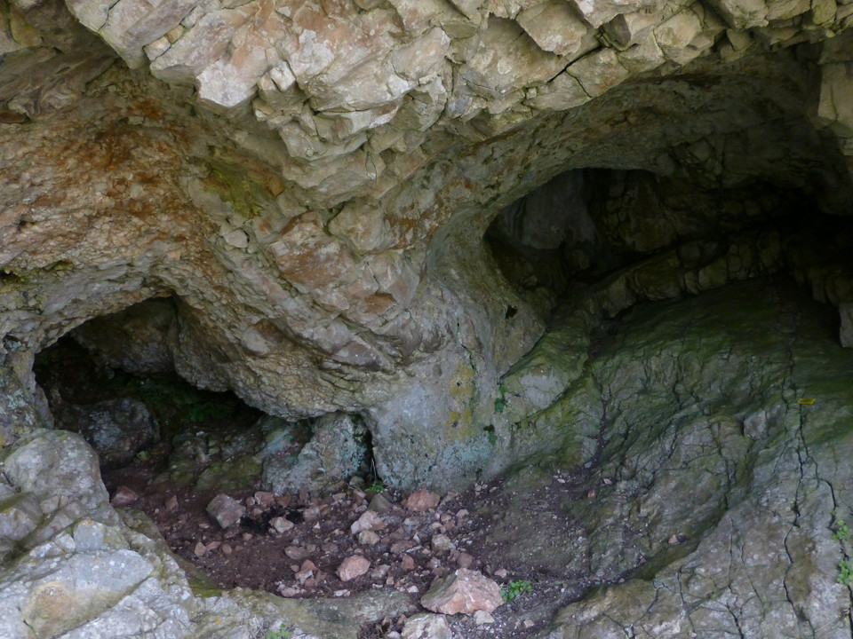
The cave itself is small, approximately 1 metre high, going back about 2 metres.
There was a yellow numbered tag nailed to one of the stones. No idea what it was for?

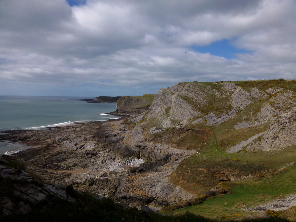
Great coastal views as you would expect. I would suggest it best to simply view the cave from the coastal path and not risk the walk up to the cave. It is a bit dodgy.
Posted by CARL
1st October 2013ce