Directions:
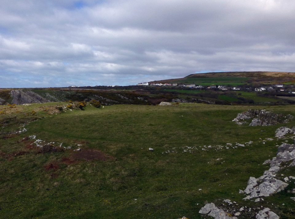
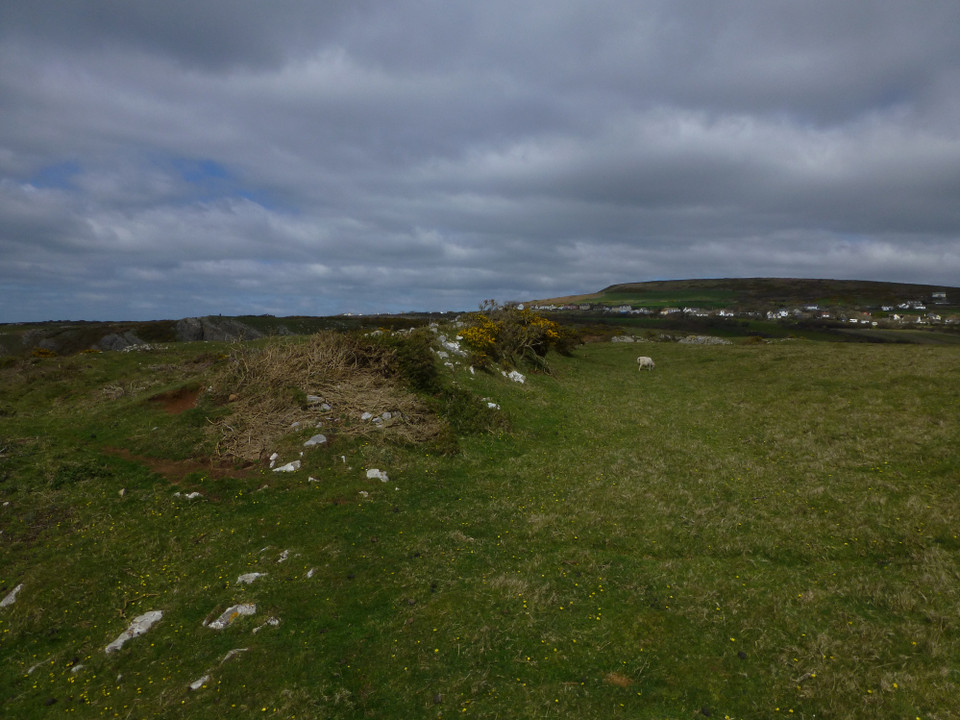
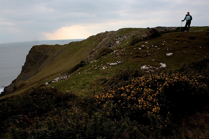
From the main Rhossili visitor’s car park follow the coastal path south west past the N.T. shop and coastguard station and then east towards Port Einon. You will know when you get to Thurba as there is a little N.T. sign telling you so!
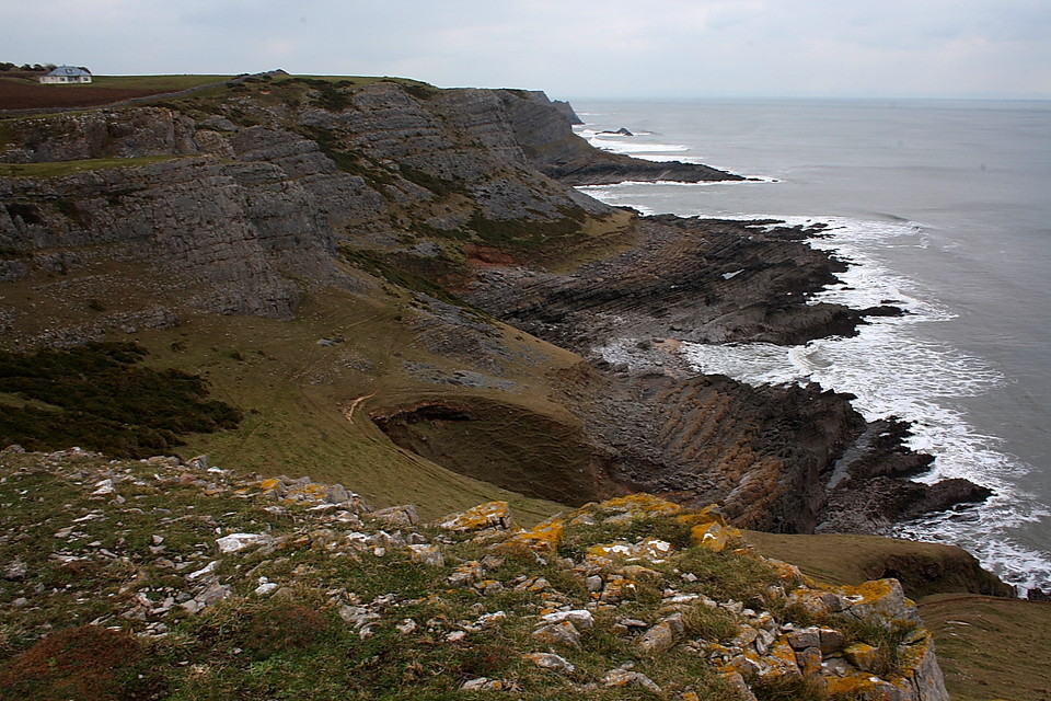
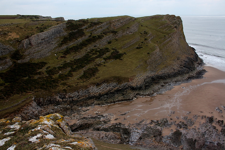
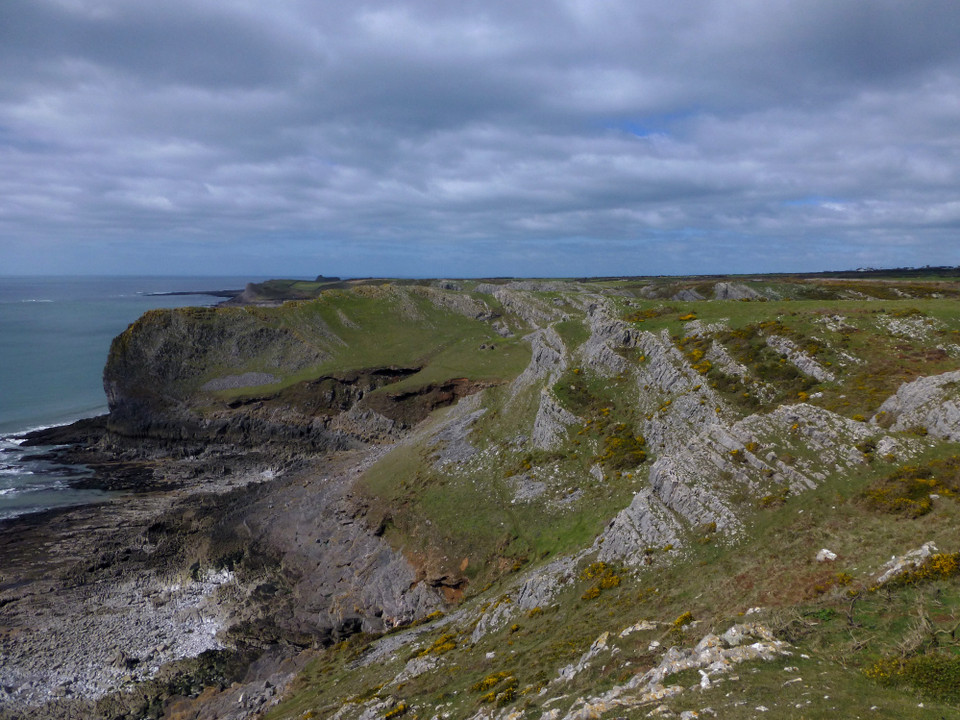
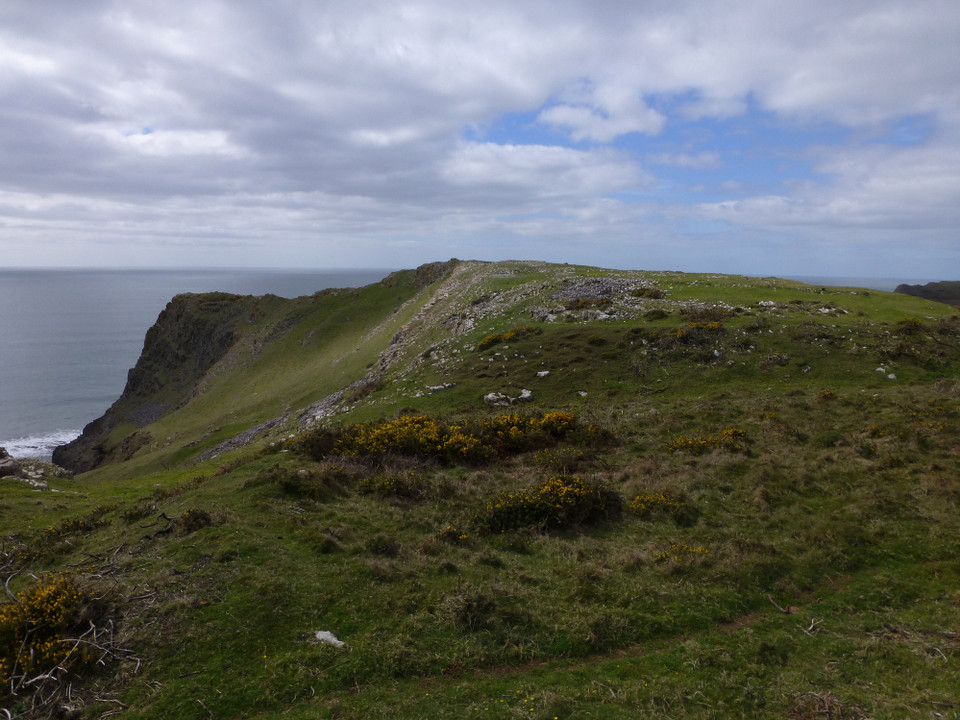
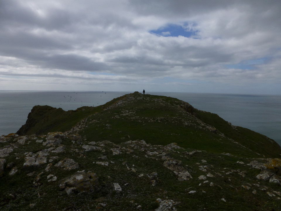
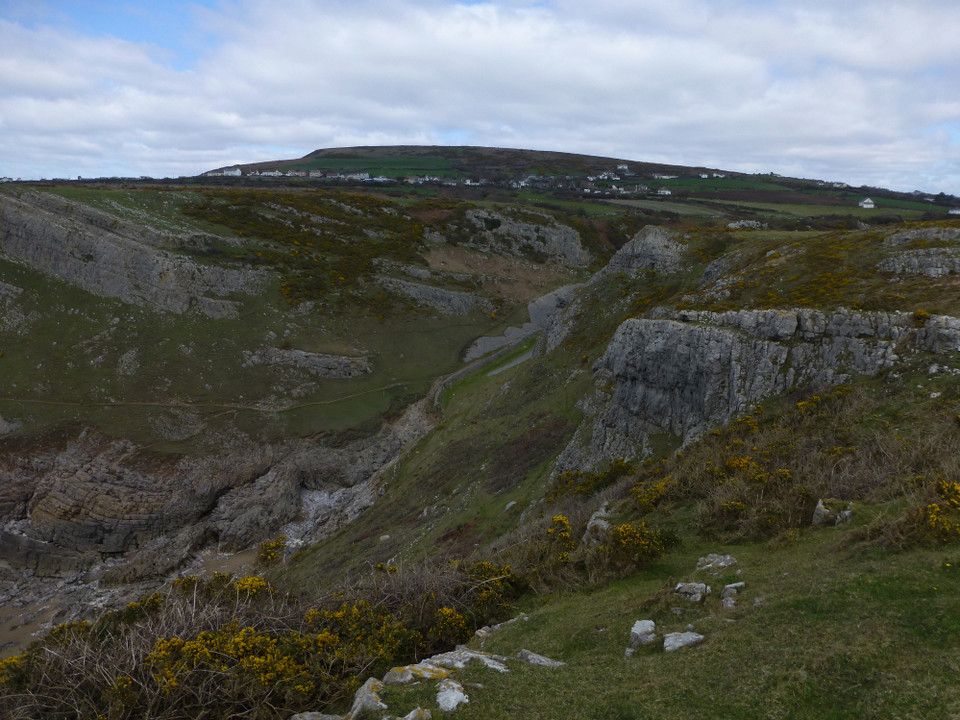
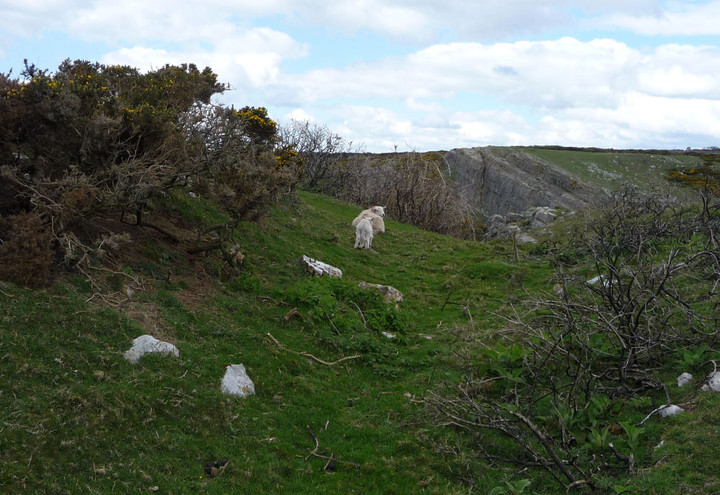
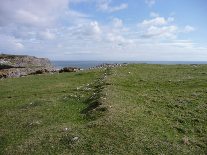
The fort itself is a short distance south west of the main coastal path – on a headland.
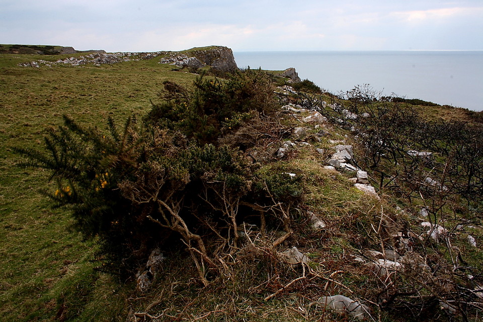
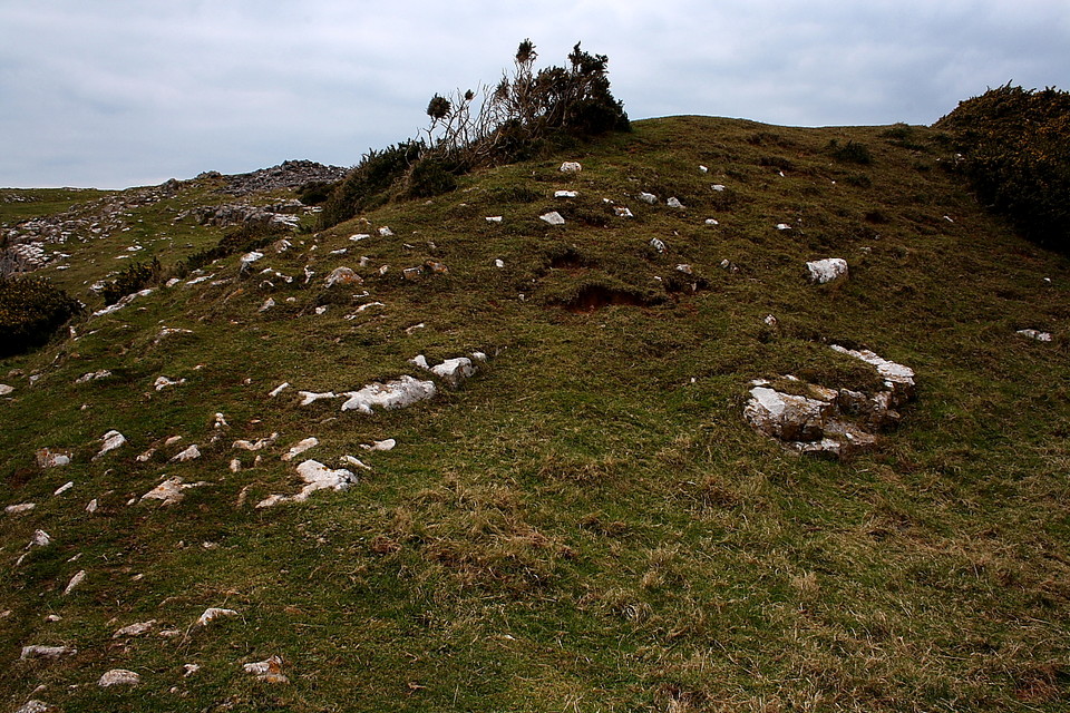
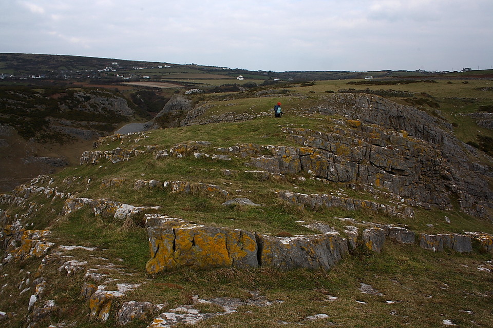
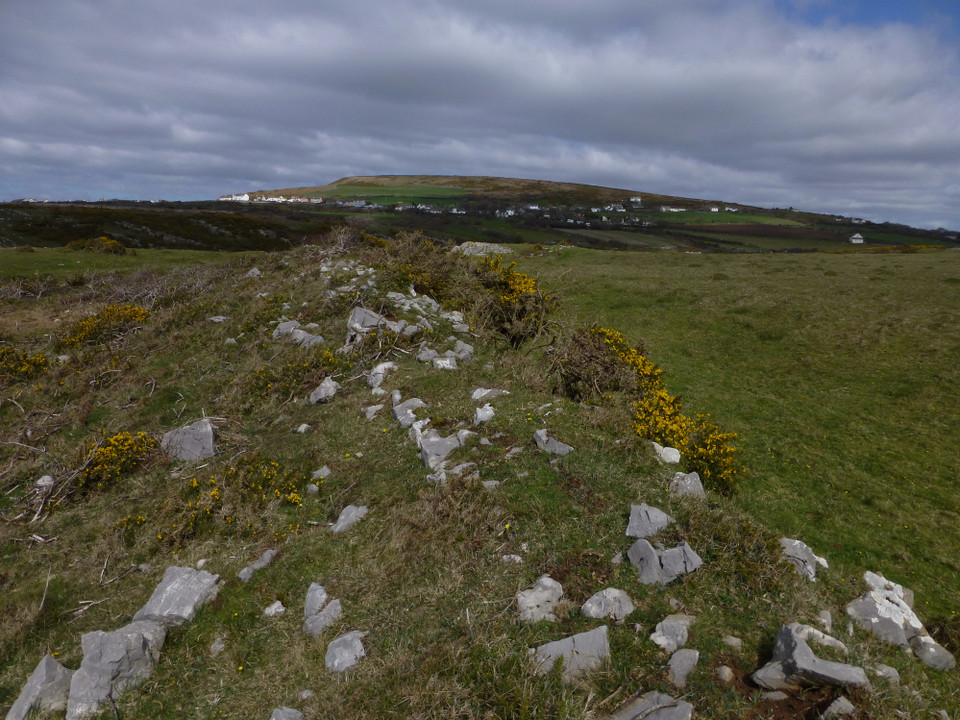
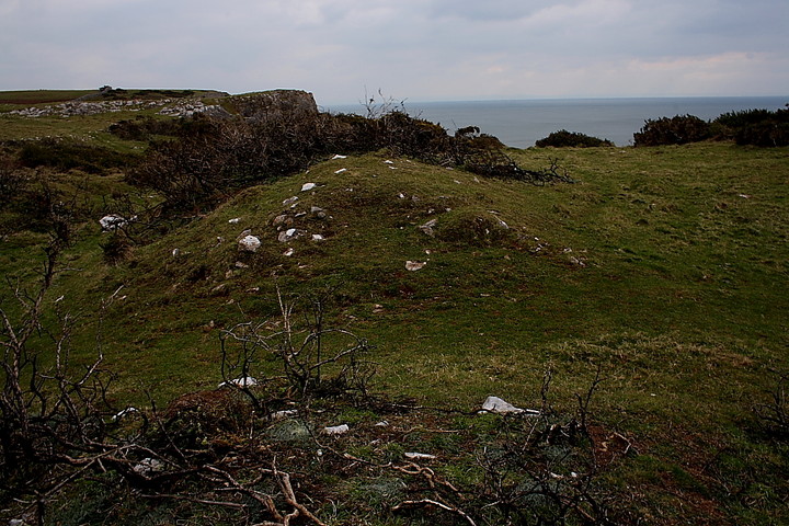
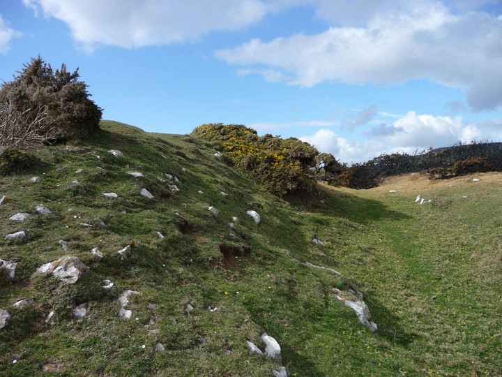
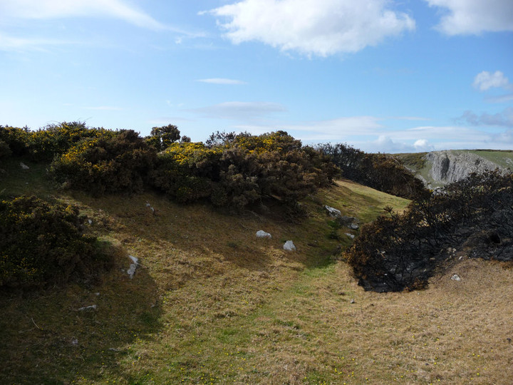
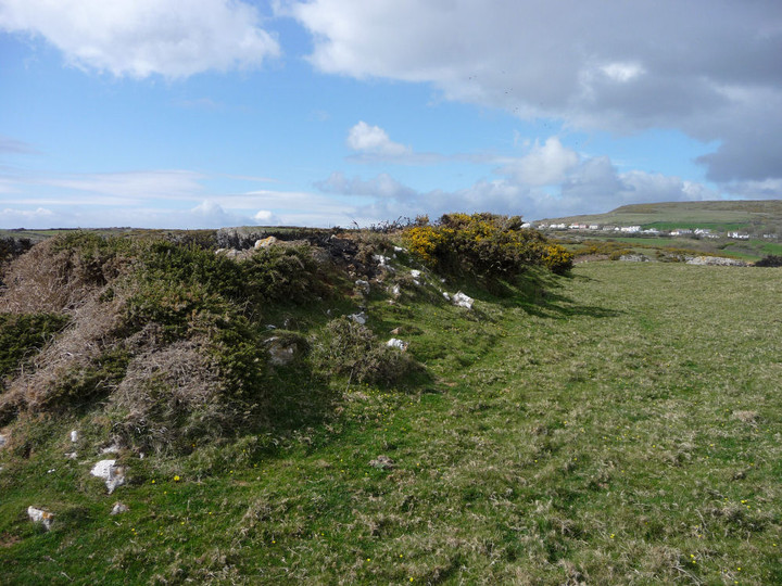
I counted 3 defensive banks – the outer two being approximately 2m at their highest (when standing in the ditch) and the inner bank approximately 1m high.
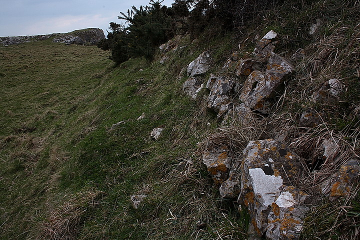
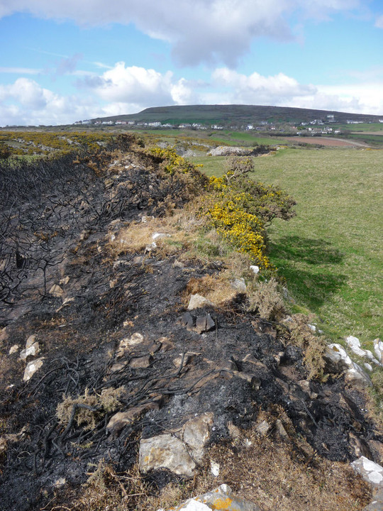
In places you can easily see how the banks were constructed of stone
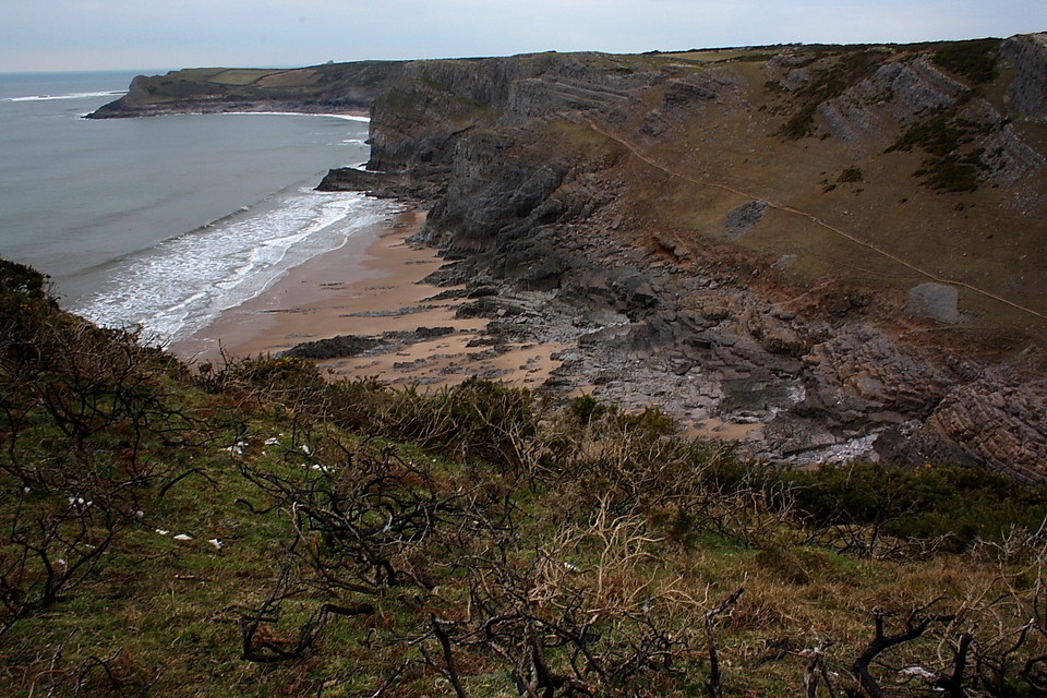
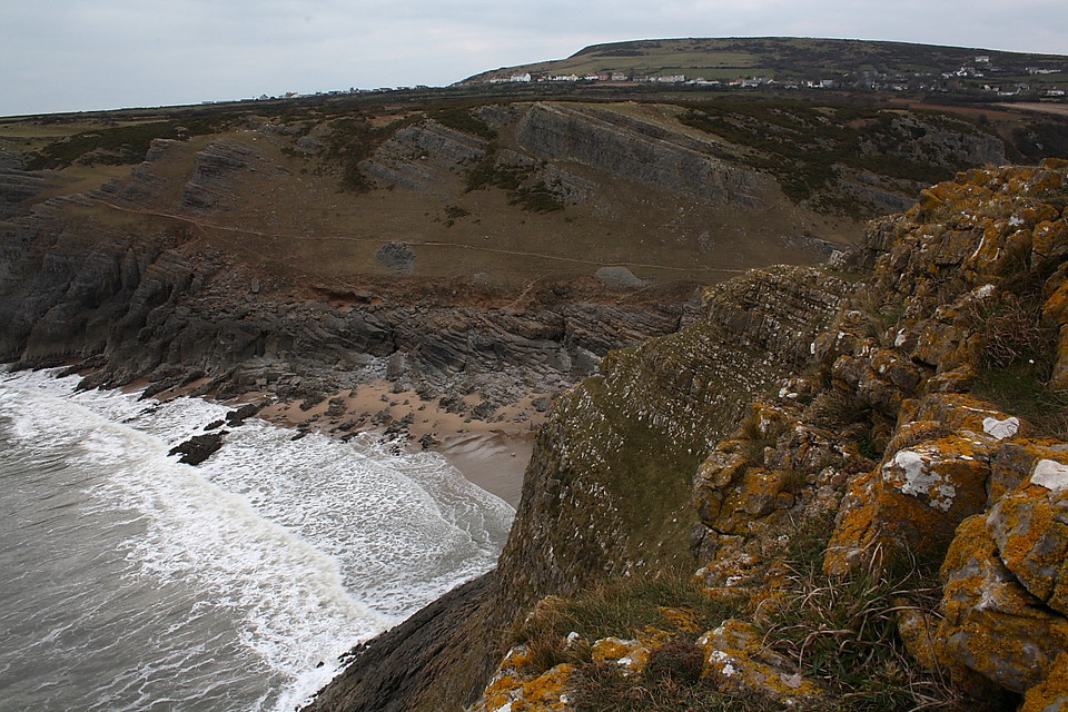
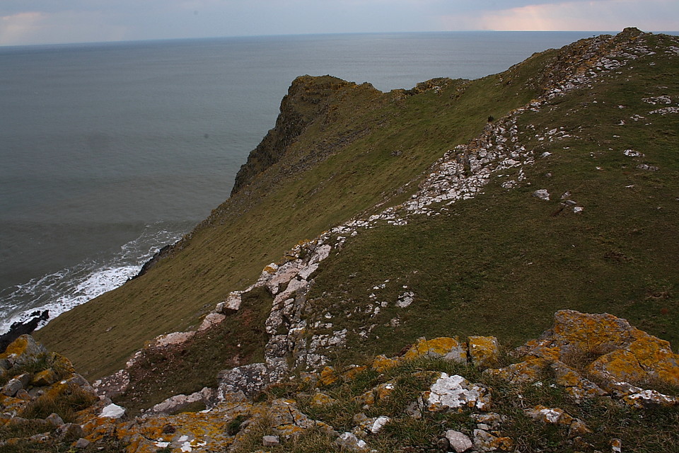
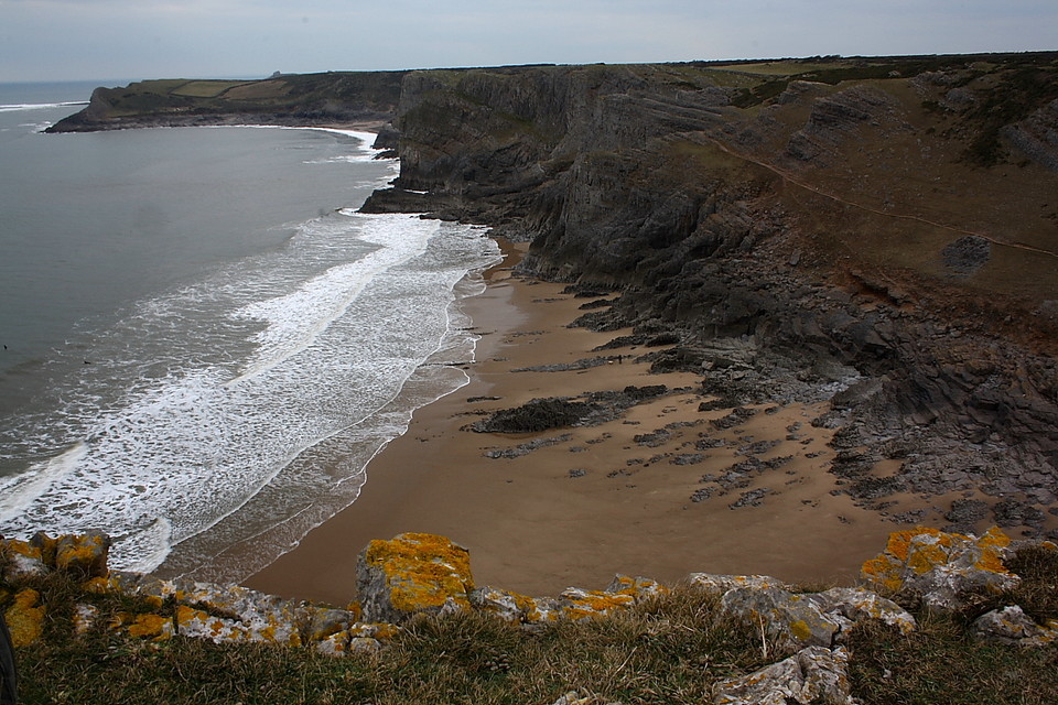
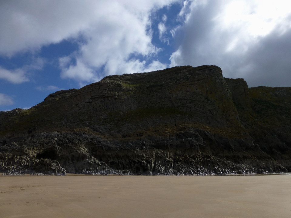
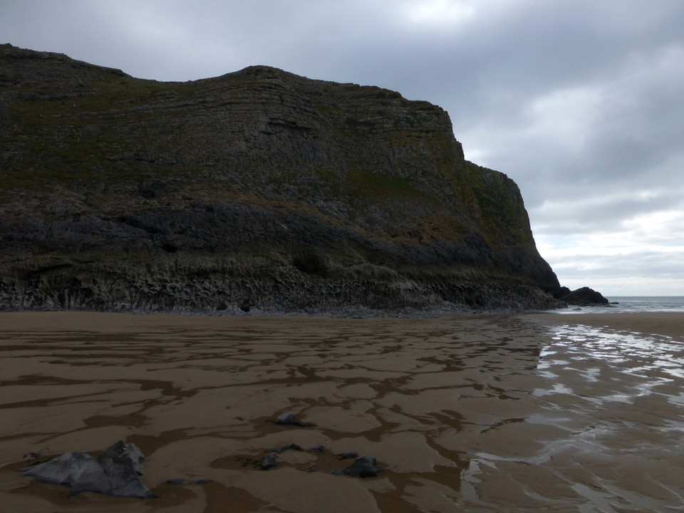
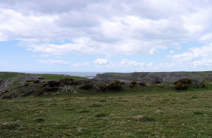
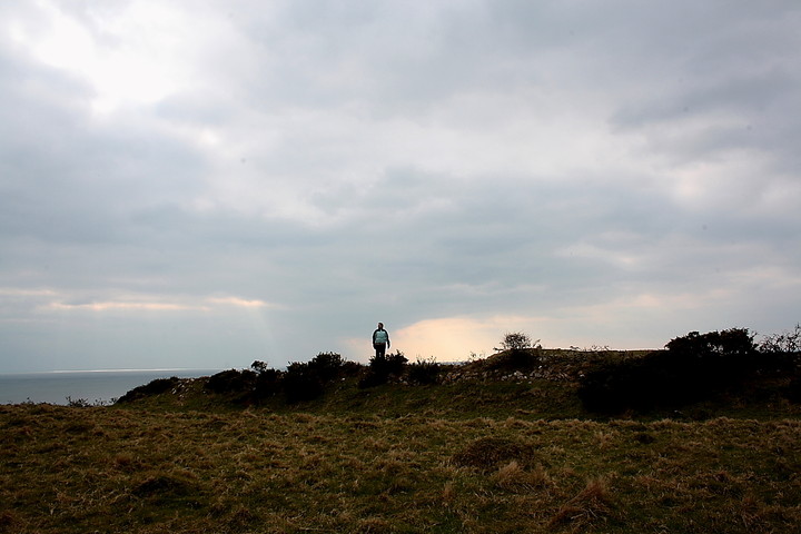
As you would expect there are great coastal views to be had.
Well worth a quick stop-off when walking the coastal path from Rhossili.
Coflein site includes several aerial photos of the fort.
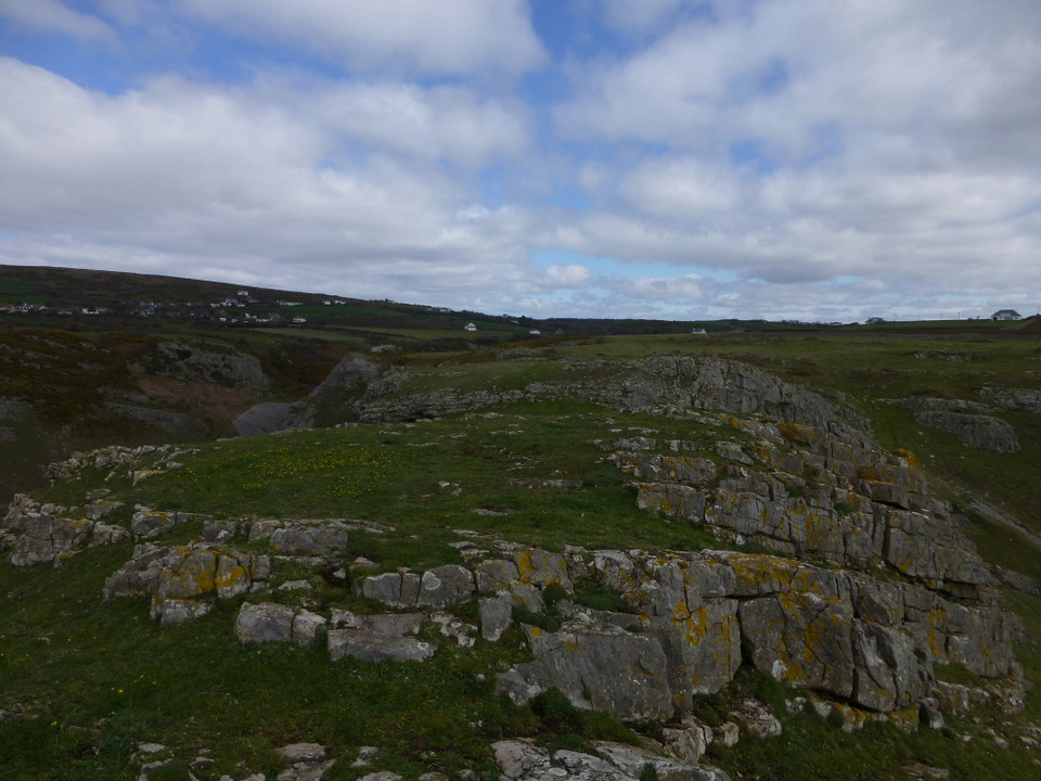
Thurba Camp is a defensive complex set about a central enclosure c.50m by 40m perched on an irregular coastal promontory, defined by precipitous cliffs except where a stone-faced wall/rampart faces NE across the promontory isthmus, with two widely spaced lines of bank & ditch beyond , the outer having a c.90m frontage.
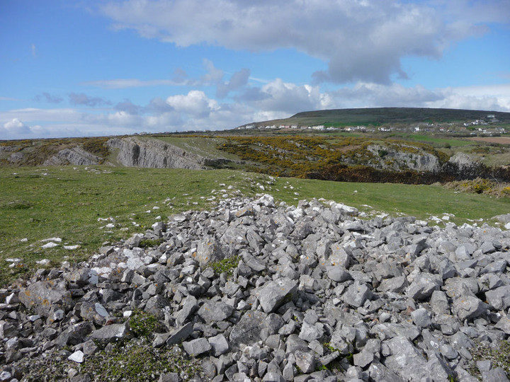
Up to seven circular structures have been noted associated with the central enclosure, although the site as a whole is obscurred by lime workings.


 Posted by thesweetcheat