The Modern Antiquarian. Stone Circles, Ancient Sites, Neolithic Monuments, Ancient Monuments, Prehistoric Sites, Megalithic MysteriesThe Modern Antiquarian


Foel Llanfendigaid

Hillfort

<b>Foel Llanfendigaid</b>Posted by thesweetcheatImage © A. Brookes (26.7.2015)
Nearest Town:Tywyn (5km SE)
OS Ref (GB):   SH56990560 / Sheet: 124
Latitude:52° 37' 43.91" N
Longitude:   4° 6' 47.61" W

Added by Rhiannon


Discussion Topics0 discussions
Start a topic


Show map   (inline Google Map)

Images (click to view fullsize)

Add an image Add an image
<b>Foel Llanfendigaid</b>Posted by juamei <b>Foel Llanfendigaid</b>Posted by thesweetcheat <b>Foel Llanfendigaid</b>Posted by thesweetcheat <b>Foel Llanfendigaid</b>Posted by thesweetcheat

Folklore

Add folklore Add folklore
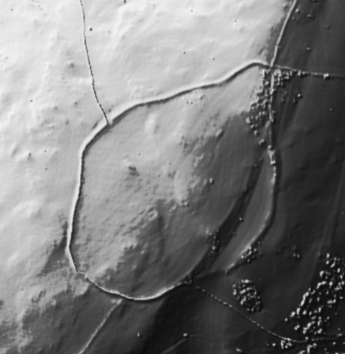
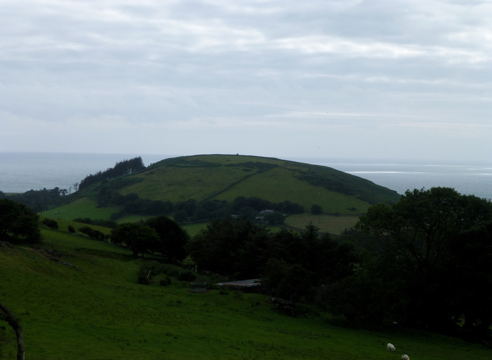
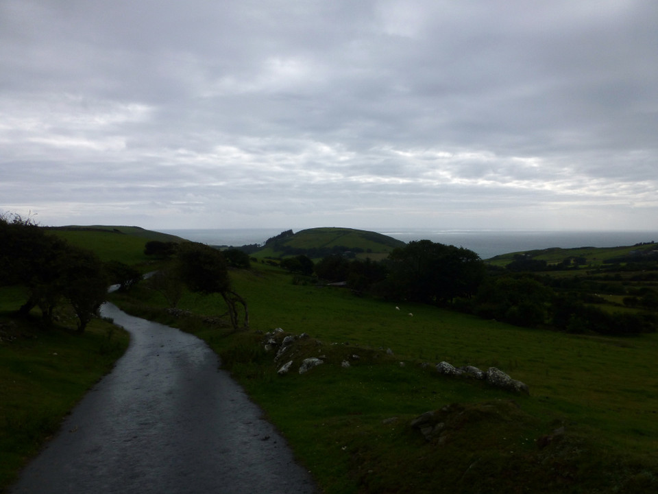
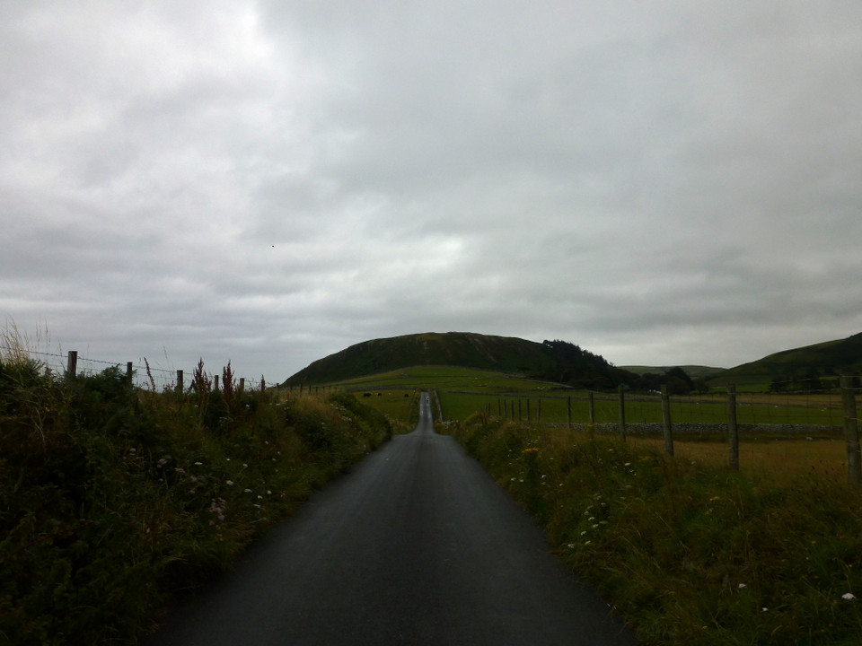
Up here on Foel Llanfendigaid there are the traces of a hillfort - according to Coflein a 'narrow stony rampart' survives. Beneath the hill, on the seaward side, there is a cave, Ogof Owain.
Ogov Owain is apparently a natural fissure in a rock, about a mile north of the estuary of the river Dysynny, in the parish of Celynyn, in Merioneddshire. Tradition says, that Ednyved ap Aron, a gentleman of consideration, concealed Owain in it, after his military reverses.
The intrepid author and his friend sat on some stones after emerging, 'proceeded to knock off the neck of a bottle of sherry' and then toasted the king and 'Prince Owain Glendwr'.

In v5 of the 'Cambrian Quarterly' 1833.
Rhiannon Posted by Rhiannon
21st March 2012ce
Edited 21st March 2012ce

Links

Add a link Add a link

Snowdonia National Park


At the bottom of the page there is an aerial photo of the fort.
Rhiannon Posted by Rhiannon
21st March 2012ce