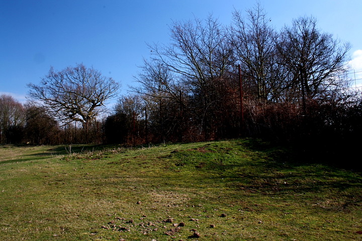
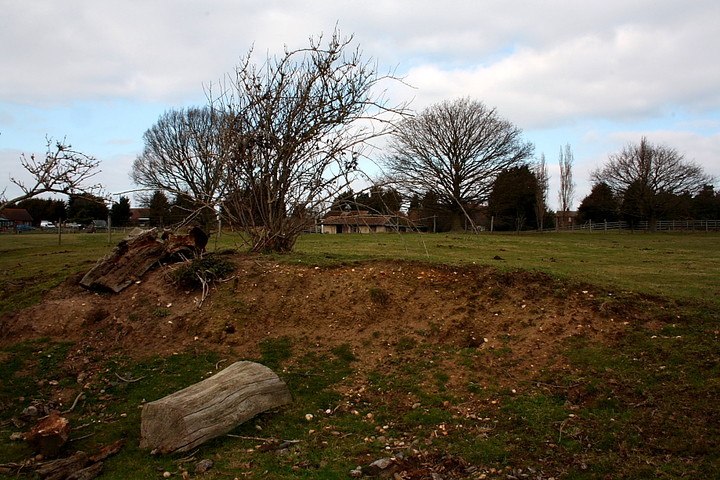
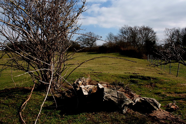
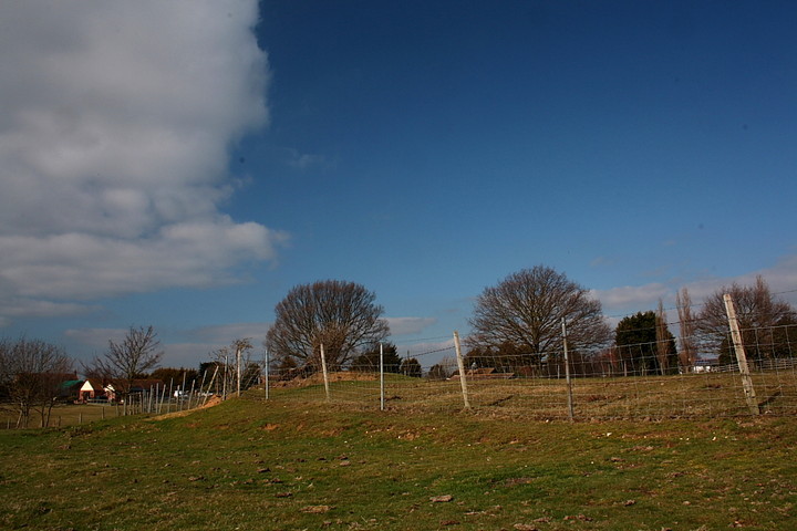
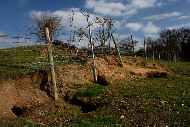
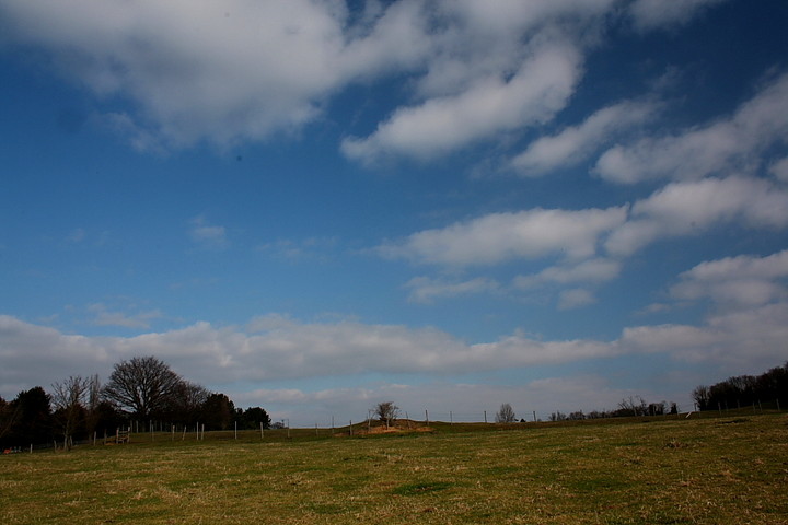
OK, not the most upstanding fort you'll ever see, having been much impacted over the years by gravel workings... however, well worth stopping off for a visit, seeing as this is a fine corner of Essex.
In summary, Historic England reckons:
"A slight univallate hillfort which lies roughly in the centre of the Dengie peninsular, on a plateau rather than a hilltop. The defences include a bank and external ditch, which as visible on the east & south of the enclosure as earthworks. Bronze Age and Iron Age. There is conjectural evidence (through finds) for reoccupation in the Roman period and in the early Anglo-Saxon period."

 Posted by GLADMAN