The Modern Antiquarian. Stone Circles, Ancient Sites, Neolithic Monuments, Ancient Monuments, Prehistoric Sites, Megalithic MysteriesThe Modern Antiquarian


Caerau (St David's)

Promontory Fort

<b>Caerau (St David's)</b>Posted by thesweetcheatImage © A. Brookes (7.8.2014)
Also known as:
  • Caer Aber Pwll

Nearest Town:Fishguard (18km ENE)
OS Ref (GB):   SM78833077 / Sheet: 157
Latitude:51° 55' 51.35" N
Longitude:   5° 13' 2.81" W

Added by postman


Discussion Topics0 discussions
Start a topic


Show map   (inline Google Map)

Images (click to view fullsize)

Add an image Add an image
<b>Caerau (St David's)</b>Posted by thesweetcheat <b>Caerau (St David's)</b>Posted by thesweetcheat <b>Caerau (St David's)</b>Posted by thesweetcheat <b>Caerau (St David's)</b>Posted by thesweetcheat <b>Caerau (St David's)</b>Posted by thesweetcheat <b>Caerau (St David's)</b>Posted by thesweetcheat <b>Caerau (St David's)</b>Posted by thesweetcheat <b>Caerau (St David's)</b>Posted by thesweetcheat <b>Caerau (St David's)</b>Posted by thesweetcheat

Miscellaneous

Add miscellaneous Add miscellaneous
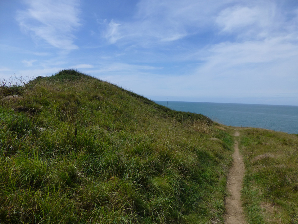
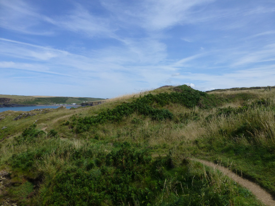
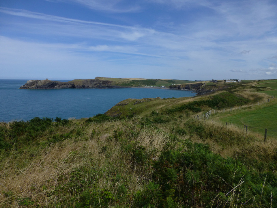
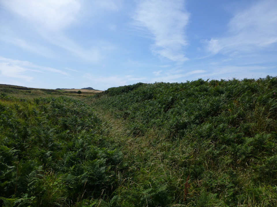
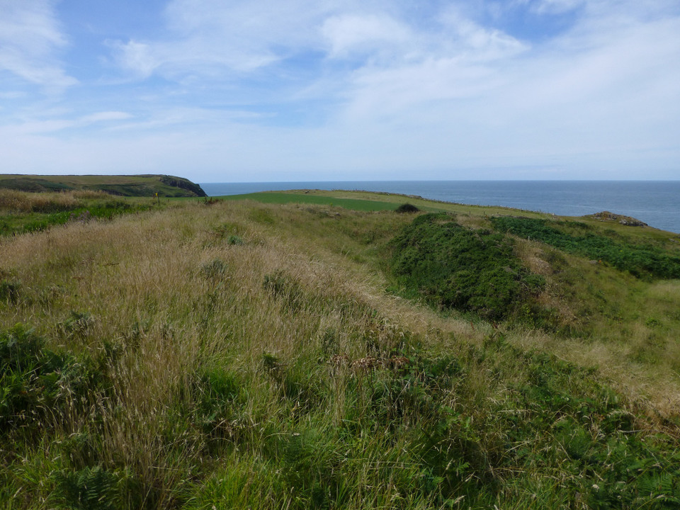
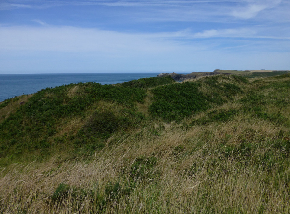
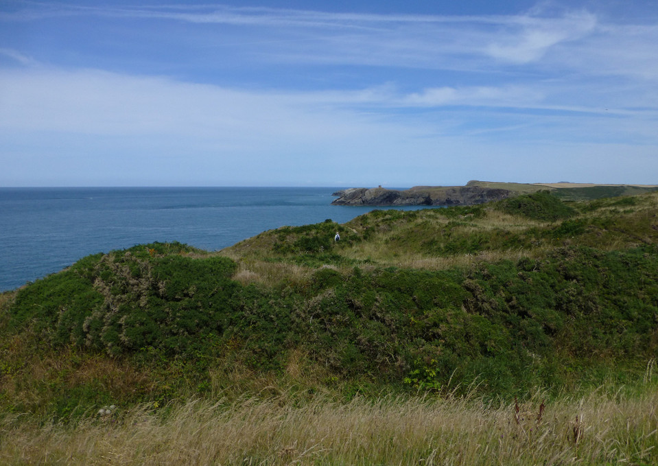
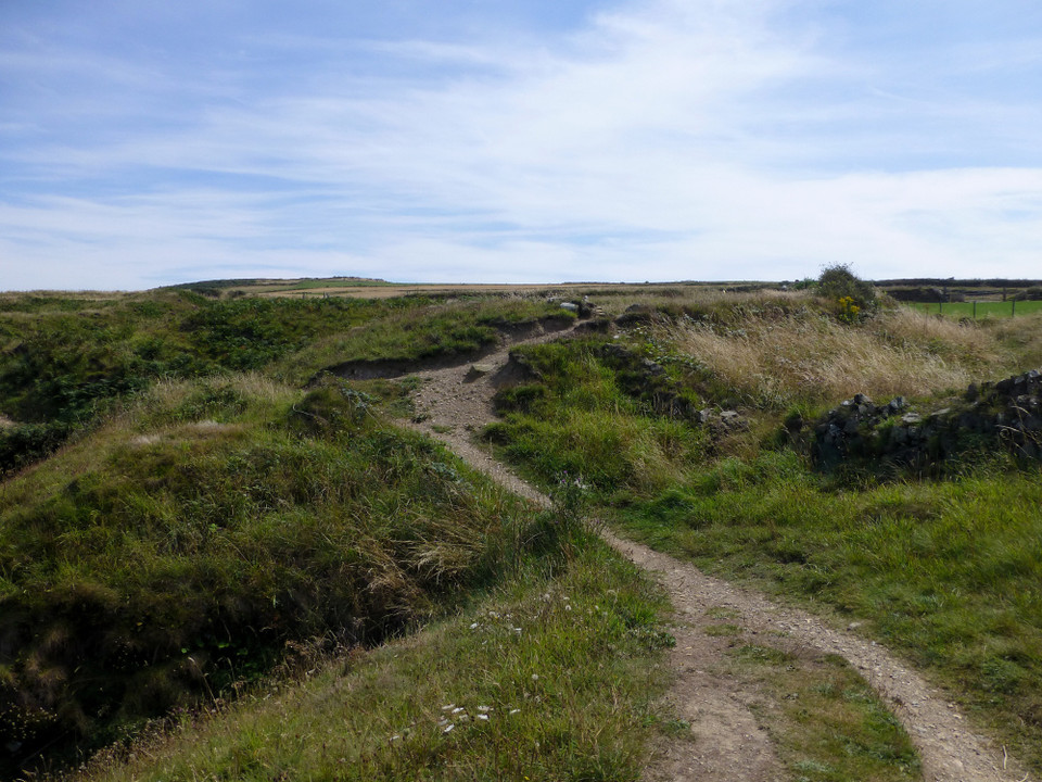
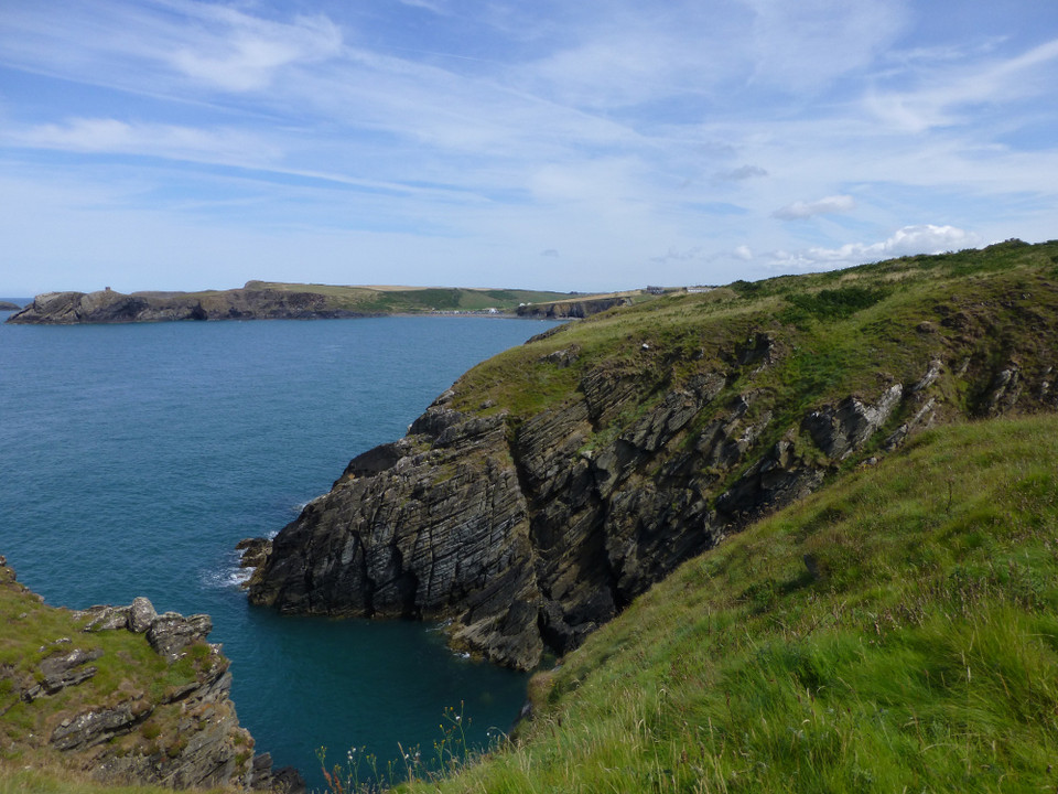
The complex defences at Caer Aber Pwll (Caerau) define a simple promontory fort to the east and a more heavily defended promontory fort on the west, both utilising the defensive potentials of the steep coastal cliffs. The western fort contains at least one building platform and is enclosed by a complex of up to four banks and ditches thought to represent at least two periods of construction, of uncertain relation, extending over a roughly 172m front. The main, inturned, gateway can be made out on the far side of the earthworks.

A second enclosure on the east, about 48m by 34m, may be a fragment of an early enclosure, isolated by redevelopment, an annex, or a separate and later enclosure butting onto the primary work.
For some aerial pics
http://www.coflein.gov.uk/en/site/94242/images/CAERAU+PROMONTORY+FORT%3A+CAER+ABER+PWLL/
postman Posted by postman
20th January 2012ce