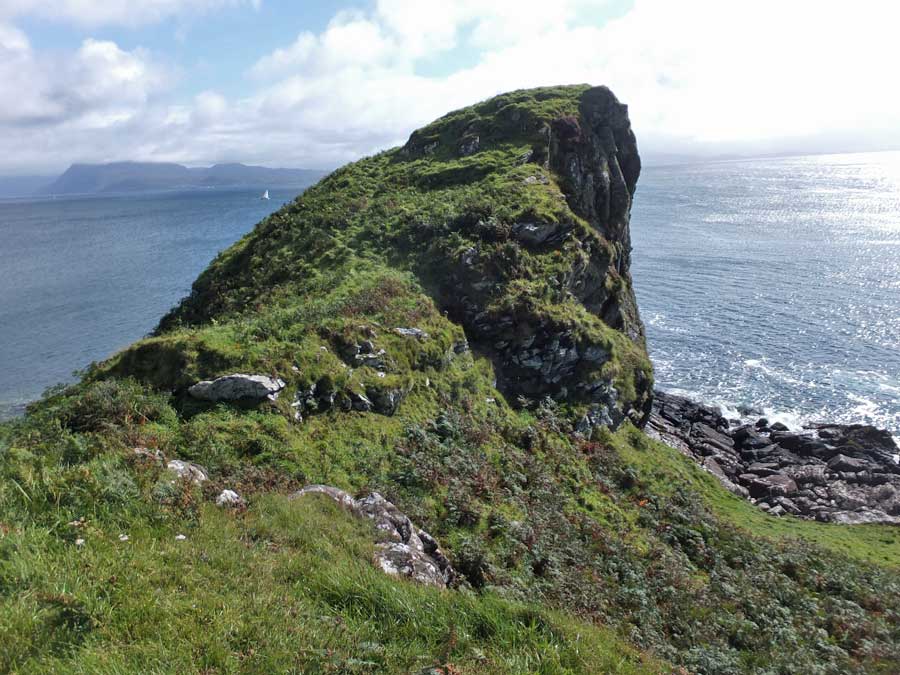
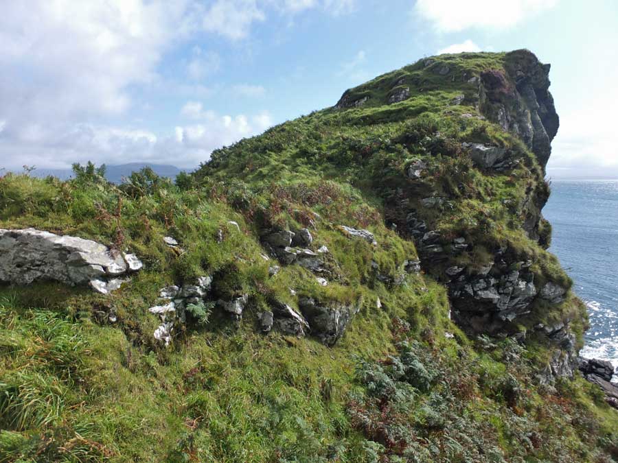
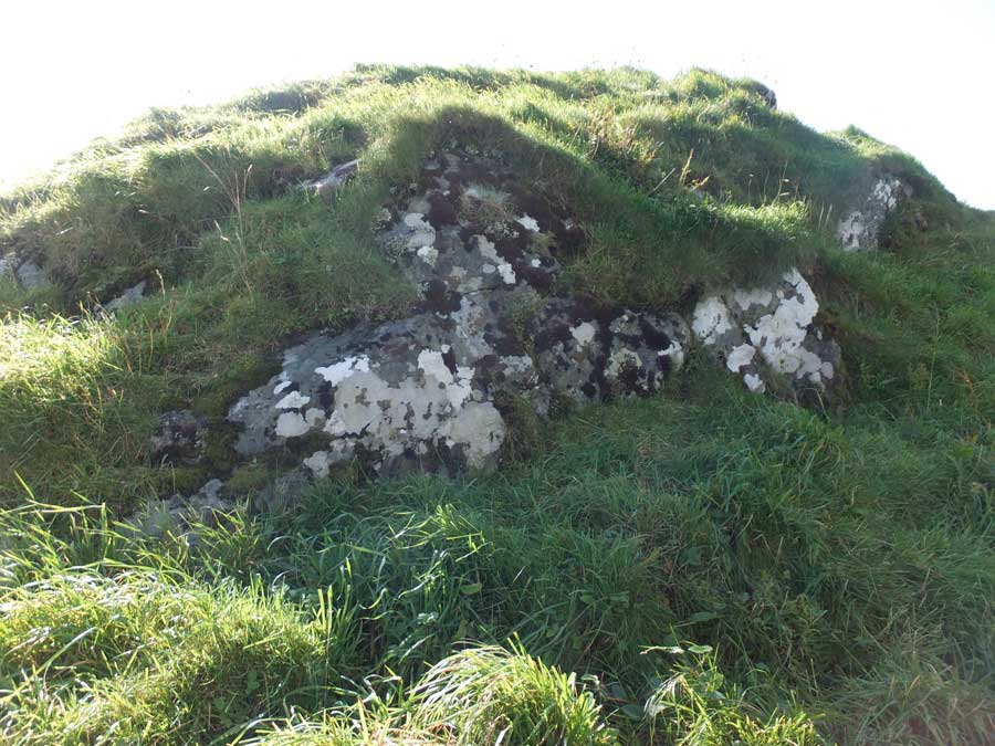
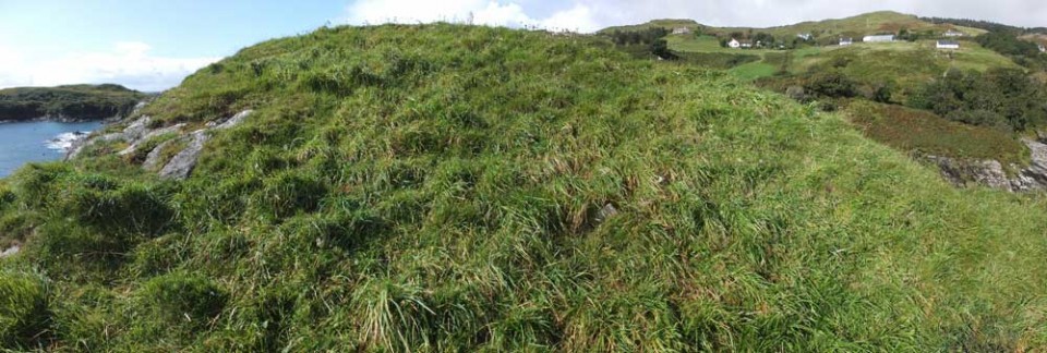
Rising above the cliffs, just under a kilometre southwest of Dun a'Chleirich, stand the rudimentary remains of Dun Ban, a striking promontary fort. The dun stood on the summit of a largely grass-covered rock rising steeply above the clifftops and connected to the land on its northwest by a narrow rocky ridge that has the appearance of having been artificially strengthened. From its summit, Dun Ban plunges steeply towards the sea, with just the footings of the stone wall that once surrounded it remaining.
Although only a short distance from Dun a'Chleirich, the thick bracken that plagues the clifftops here makes a direct approach towards Dun Ban well nigh impossible. The best approach is to start from the same parking spot beside the wooden shack then walk down the road for about 10 minutes to a prominent farmhouse and barn on the left.
Just a few metres down the service road here, a gate on the right leads into the field and onward towards the dun, which is now a prominent feature on the coast. Make your way to the bottom of the field where your progress is arrested by a high fence. Follow the fence to the left and you will soon encounter a metal gate. Go through the gate, follow a rough path down to the stream, step across, then follow another rough path up the grassy approach to Dun Ban.
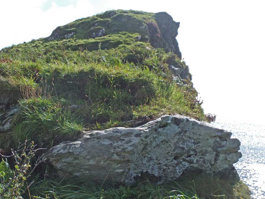
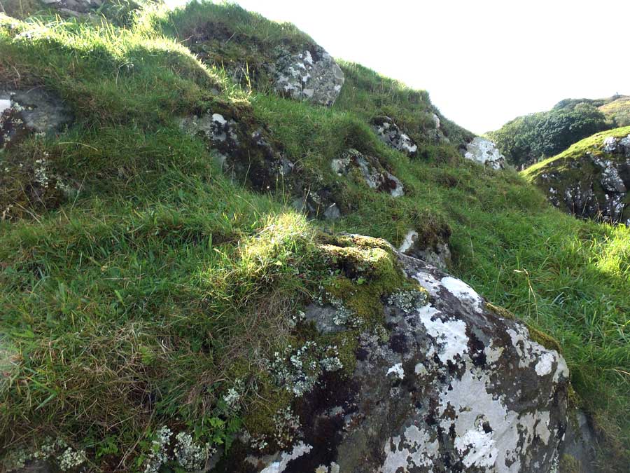
Dun Ban occupies the sloping simmit of a conspicuous rock rising some 50ft from the sea-shore connected with the land on the NW by a narrow rocky ridge, above which it rises some 25ft in a steep, grass-covered slope, broken up by several lines of rocky outcrops, two of which seem to have been utilized as defensive lines as there are indications of building in the gaps between the rocks. At the lowest part of the ridge an outcrop has been strengthened at the NE by building so as to form an outer barrier. The summit of the rock, which measures some 80ft E-W and 44ft N-S, shows a sharp slope towards the sea and has been surrounded by a stone wall the greater part of which has disappeared. On the NW, the landward side, at the highest point of the rock, it shows a width of 6ft and a height of 1ft 6ins, and the entrance seems to have been at the NE end of this wall. On the steep E slope, 2ft of the outer face of a well-built wall remains in position over a length of some 21ft.


 Posted by LesHamilton
 Posted by thesweetcheat