Dun a'Chleirich is a promontory fortification on the south coast of Sleat. Driving west, the starting point is at a small parking area on the left side of the road (white marker), just beside a dilapidated wooden hut, approximately 3.75 kilometres west of the community of Ardvasar, at NG 6029 0112.
Here, a convenient gate leads into a large grassy field. Enter the field and follow its boundary fence to the left (east) then down towards the coast to where a second gate leads left to the bracken-infested coastal strip. A walkers' path continues from here, bearing left, past Dun a'Chleirich (which is initially out of sight) to the shore. Though largely concealed by bracken, it was just possible to find a rough path up the northwestern side to the summit of the dun (blue marker).
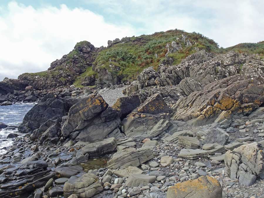
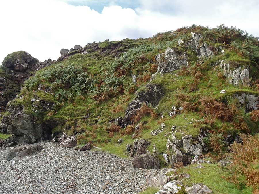
At this time of the year, Dun a'Chleirich is almost completely clothed by a rampant growth of bracken about a metre tall. Only on its western flank was the bedrock exposed, so any structural elements had to be searched for.
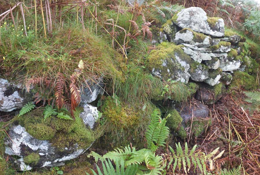
During the climb up on to the dun I had to step over some sizeable blocks that were presumably part of the dilapidated wall that still surrounds most of the structure, and a few metres father on, some blocks that I took to be of the inner wall facing. But the summit was devoid of features.
However, on the northeastern flank of the summit, after clearing some of the bracken, it was clear that there still remain significant remnants of a wall. At the point I investigated, the wall was chest high and up to six courses in height. I daresay that in spring, before the bracken has sprouted, significantly more structure would be apparent.
The remains of Dun a Chleirich occupy the summit of a small rocky peninsular on the sea-shore. It is reached by a narrow neck on the NW or landward side, which stands about level with the fort. Towards the sea, where it is rocky but not precipitous, it reaches a height of 50ft above the beach. It is defended by a stone wall, now very dilapidated, built round the edge of the summit and following the sinuosities of the rock. Internally the dun measures some 52ft NW-SE, and 51ft NE-SW. In some places the outer face of the wall shows 3ft in height, but generally it is very dilapidated. On the NW towards the land, the wall has been of considerable strength, as it now shows a rough mound of stones, 20ft in breadth and 3ft in height at other parts the wall varies from 4ft 3ins - 6ft in thickness.
In the S corner of the enclosure are the stone foundations of a roughly circular structure, about 12ft in diameter internally, the remains of the wall being spread over a width of about 5ft.
The entrance was probably at the E end of the NW wall oppisite the approach ridge.


 Posted by LesHamilton
 Posted by thesweetcheat