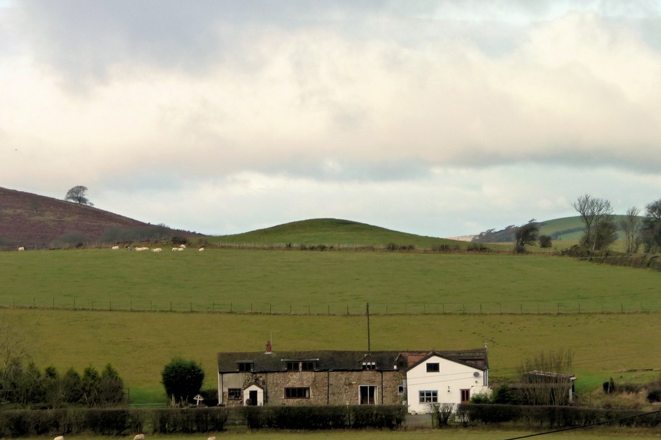
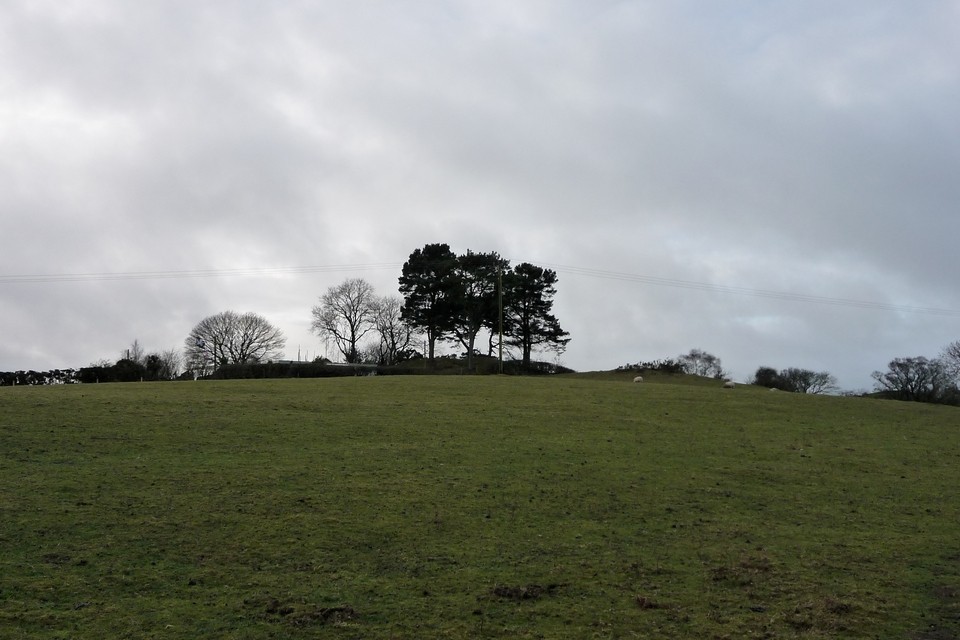
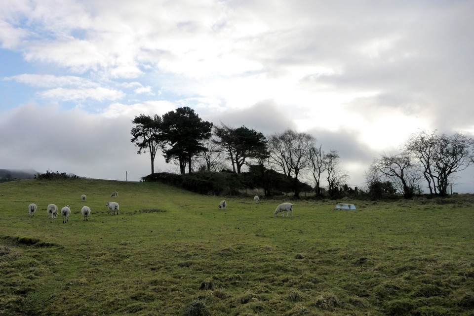
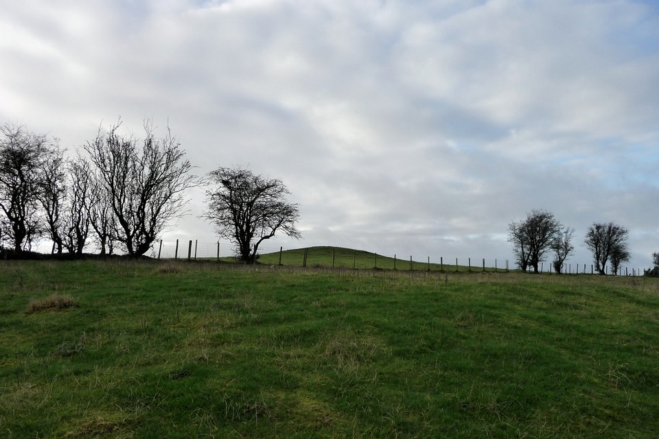
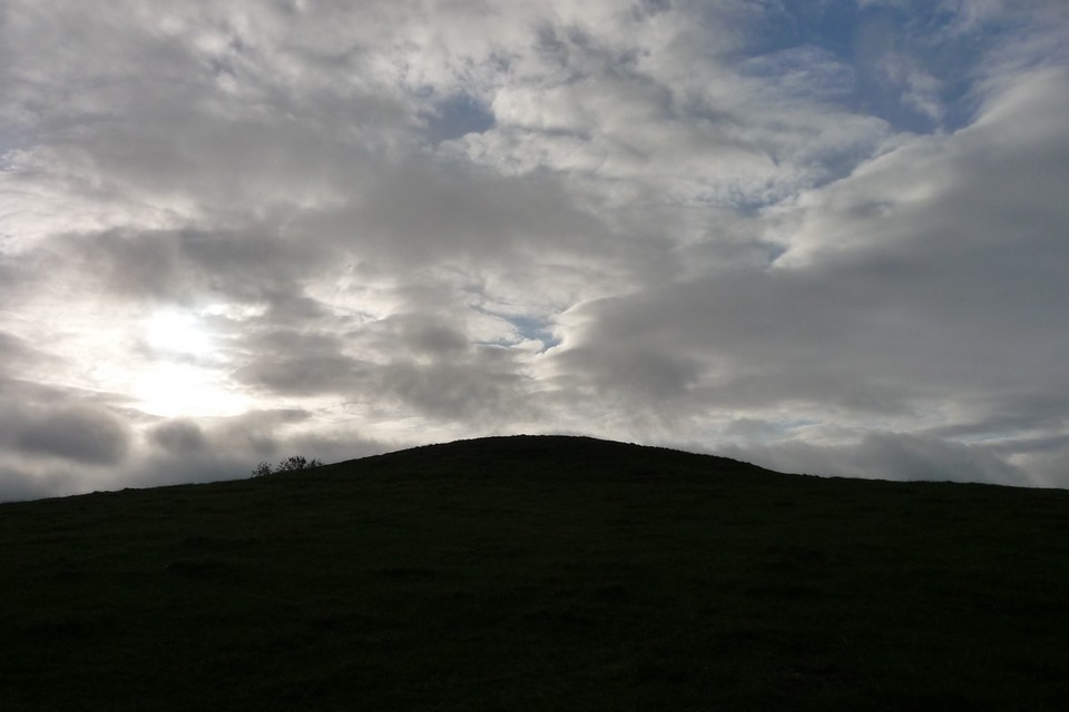
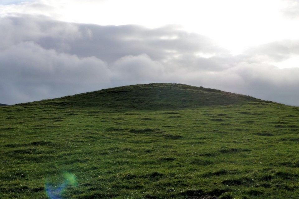
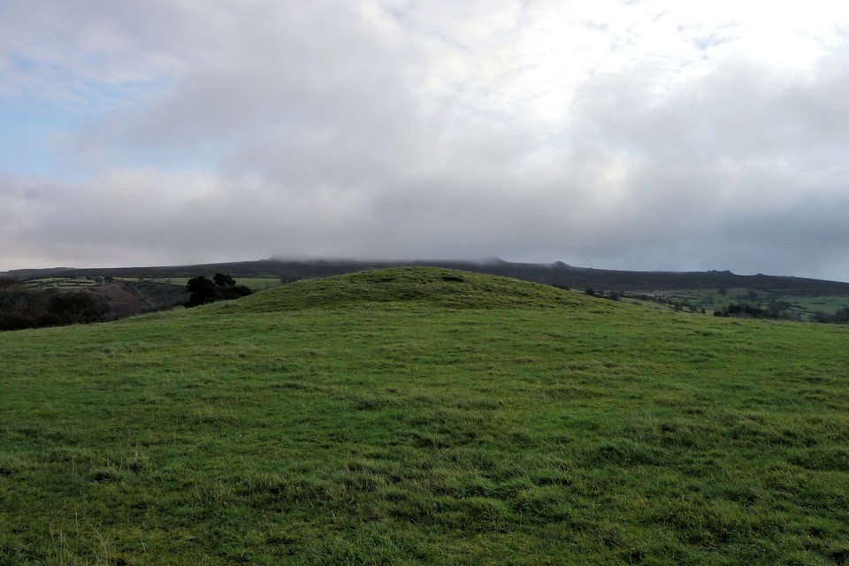
The monument includes the earthwork and buried remains of a Bronze Age bowl barrow situated on level ground at the summit of Round Hill where the ground slopes gently away to the north, east and south. From this location there are extensive views of the surrounding countryside, notably The Stiperstones to the east and the undulating lowlands to the north. The barrow at The Napp, 200m to the east, is also clearly visible from this location, and is the subject of a separate scheduling. The barrow mound, which is of earth and stone construction, is about 30m in diameter and survives to a height of 2.5m. Although no longer visible at ground level, a ditch from which material was quarried during the construction of the barrow, surrounds the mound. This has become infilled over the years but survives as a buried feature approximately 3m wide.
Eastern barrow - The Napp (SO 35120 99329)
The monument includes the earthwork and buried remains of a Bronze Age bowl barrow situated on the top, and at the southern end, of a natural north-south ridge, near to the summit of Round Hill. From this elevated position there are extensive views of the surrounding countryside, notably the Stiperstones to the east and the undulating lowlands to the north. The barrow on Round Hill, 200m to the west, is also clearly visible from this location, and is the subject of a separate scheduling.
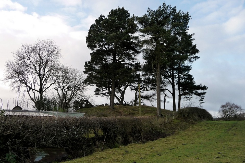
The barrow mound is of earth and stone construction. It is about 20m in diameter and survives to a height of 2m. The height of the monument has been greatly enhanced by its topographic location. To the west, where no break of slope is now detectable between the ridge and the barrow mound, the combined height of these two features is 4m.
Although no longer visible at ground level, a ditch from which material was quarried during the construction of the barrow, surrounds the mound. This has become infilled over the years but survives as a buried feature approximately 3m wide.
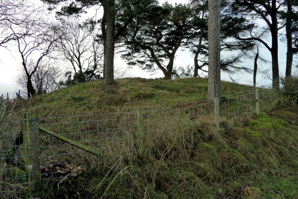
Part of the top of the mound has been partly excavated, which has resulted in the creation of a level platform. At the base of the resulting 0.6m deep cut is an embedded stone slab. This slab may be the remains of a cist (a stone slab coffin) from a later intrusive burial within the mound. No records are known to survive of this excavation
The 1/25000 OS map shows the eastern barrow as "Motte".

 Posted by thesweetcheat