|
|

|
|
Botley StoneRing Cairn
|
||||||||||||||||||||||||
|
|
|
Images (click to view fullsize) |
|
|
Fieldnotes |
|
|
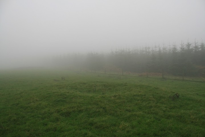
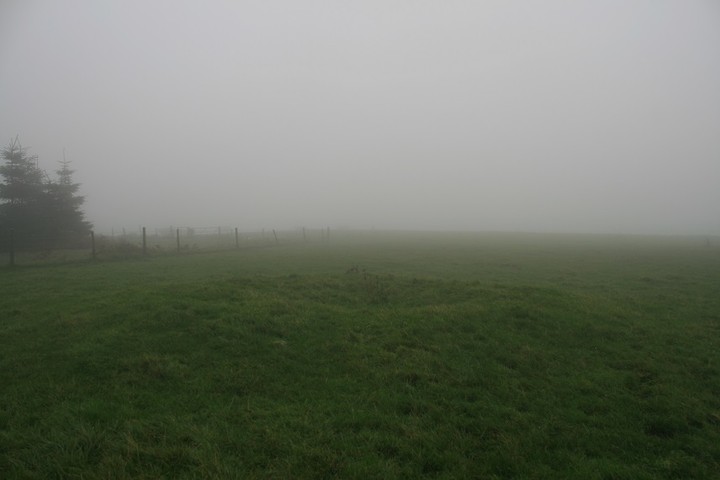
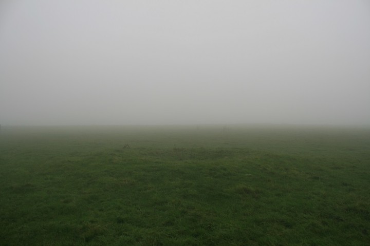
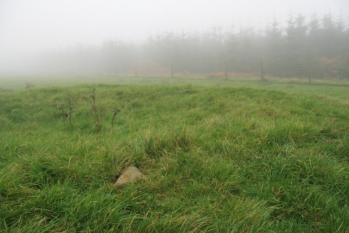
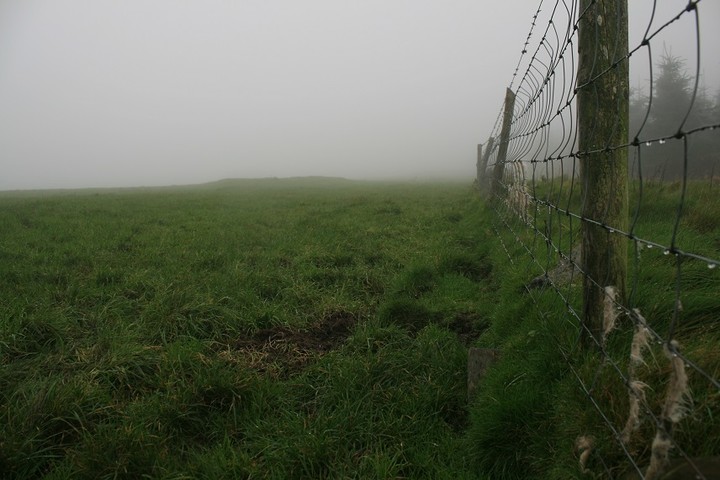
Just south of Little Stretton turn west onto the B4370, then north west off that road towards Hamperley. Blink and you'll miss it, but miss it we must, head for Priors Holt, it's a dead end road. Pass the house on your right and you have reached your destination. Park and exit the vehicle. There is now a gate blocking access to the road into the forest. There's hinges and catches and stuff so entry was only momentarily impeded, we follow the track for a couple of minutes following the little stream that is called Nut Batch. But now comes the rough and tumble, veer off left at your earliest convenience and climb the steep wooded slope. Coming out of the trees follow the tree line up hill, then strike out perpendicularly onto the open grassy hillside, let the mist envelope you, let the rain be a beautiful thing, put your hood up, head down and try to walk in a straight line going north west. Presently my seemingly random stroll across a blind hillside brings me to a fence with conifers beyond, now turn left (south west), and follow. Whisper sweet nothings to the cows that watch me go by, whilst dodging number two's almost all the time. The fence now turns a corner, it goes right, at ninety degrees, with a footpath sign, and round the corner a short grassy bump, honey i'm home. I was really quite surprised I got to it so incident free, it's not far back to the car to be sure, but still, picking a line at random and it takes you straight to where your going is the kind of common place coincidence that you get used to. Thesweetcheats misc note describes it well enough, 4 meters across, nearly half a meter high, a half buried donut. There are about twenty points on the donut where stone pokes through, ten in one place, does that make it a ring cairn, distinctions escape me, i'm still too amazed that anything from so long ago still survives in fields, on mountains, and on street corners. I'd love to be able to tell you about the lovely views, the long vistas and which sties can be seen in which direction , but the mist was all encompassing, my universe was about a hundred yards across, cows positioned on the far southern edge, and for now, centrally, a ring cairn and me, it's a nice ring cairn, grassy. En route back towards the cows I came across a large irregularly shaped stone, spattered with mud and such, I stood on it and took a photo back over to the nearly invisible ring cairn, I started to think about the stone, then stopped and walked in an unswervingly straight line back down through the trees to the car. Then when I got home and looked at the 1:25,000 and noted that a small circle was in the stones position, realisation came slowly, then hard, blow me that must be the Botley stone. Bummer. Someone'll have to go back and photograph it now, cause I did'nt |
 Posted by postman
2nd November 2013ce Edited 2nd November 2013ce |
Miscellaneous |
|
|
English Heritage description: The monument includes the remains of a small ring cairn situated on the summit of Churchmoor Hill. The monument is visible as a well defined, doughnut shaped mound 9m in diameter, comprising a turf covered circular bank 2.5m wide and 0.5m high surrounding a central hollow 4m in diameter and 0.4m deep. Although no longer visible at ground level, a ditch, from which material was quarried during the construction of the monument, surrounds the bank. This has become infilled with the passage of time but survives as a buried feature some 1.5m wide. |
 Posted by thesweetcheat
3rd December 2011ce Edited 28th September 2018ce |