Log in
|
Register
Home
Latest Posts
Forums
Maps
Help
Browse Sites
News
Blog
Contributors
The Books
Select
-
Belgium
Denmark
Eire
France
Greece
Italy
The Netherlands
Norway
Portugal
Republic of Malta
Spain
Sweden
Switzerland
United Kingdom
Wales
Monmouthshire
Rhiw Arw
Cairn(s)
Rhiw Arw (Cairn(s)) on The Modern Antiquarian, the UK & Ireland's most popular megalithic community website. 4 images, plus information on many more ancient sites nearby and across the UK & Ireland.
Image © A. Brookes (23.11.2011)
Nearest Town:
Crickhowell (12km SW)
OS Ref (GB):
SO30762712 /
Sheet: 161
Latitude:
51° 56' 16.01" N
Longitude:
3° 0' 26.28" W
Added by
thesweetcheat
Images (4)
Miscellaneous (1)
0 discussions
Start a topic
Show |
Hide
Web searches for Rhiw Arw
Flash Earth
Flickr
Google
Google Images
The Megalithic Portal
Bing
Stone Pages
Streetmap.co.uk
Wikipedia
Show map
(inline Google Map)
- Sites within 20 km -
-
Longtown Stone Circle (1.4km WNW) (1 post)
Garreg Las Enclosure, Hatterrall Hill (1.58km SSE) (2 posts)
Wiral Cairn, Black Mountains (1.83km NW) (15 posts)
Hatterrall Hill (2.05km S) (21 posts)
Black Darren (2.71km WNW) (10 posts)
Loxidge Tump, Black Mountains (2.82km WNW) (3 posts)
Garn Wen (3.15km WSW) (7 posts)
Cwm Bwchel (3.16km W) (3 posts)
Pen-Twyn Camp (Crucorney) (4.33km SE) (9 posts)
Walterstone Camp (4.59km E) (2 posts)
Twyn y Gaer Camp (5.39km S) (20 posts)
St Issui Holy Well, Partrishow (5.59km SW) (3 posts)
Disgwylfa (6.03km SW) (1 post)
Pen y Gadair Fawr (7.97km W) (16 posts)
Parkwood (7.99km NE) (1 post)
Duke's Farm (8.12km NNW) (1 post)
Maen Llwyd (Twyn Du) (8.15km W) (15 posts)
Nant Bwch (9.05km WNW) (3 posts)
Mynydd Pen-y-Fal (Eastern Cairn) (9.45km SSW) (4 posts)
Mynydd Pen-y-Fal (9.5km SSW) (15 posts)
Pen Twyn Glas, Black Mountains (9.53km WSW) (9 posts)
Ysgyryd Fawr (9.55km SSE) (18 posts)
King Stone (10.08km NNW) (11 posts)
Pen Cerrig-Calch (10.19km WSW) (25 posts)
Crug Hywel Camp (10.36km SW) (32 posts)
Pen Allt-Mawr cairns (10.41km WSW) (19 posts)
Mynydd Llysiau, Black Mountains (10.61km W) (5 posts)
Dunseal (10.66km NE) (2 posts)
Llan Oleu (10.82km NW) (1 post)
Coed Ynys Faen (10.97km SW) (2 posts)
Pen Gloch-y-pibwr cairns (11.23km WSW) (6 posts)
Pen Trumau, Black Mountains (11.29km W) (2 posts)
Llangenny (11.49km SW) (4 posts)
Pen-y-Beacon (11.52km WNW) (28 posts)
Cefn Hill (11.73km NW) (2 posts)
Poston Camp (11.75km NNE) (1 post)
Mynydd Bychan (11.98km W) (1 post)
Maen Llwyd (Llanddewi Skirrid) (12.07km SE) (1 post)
Y Das (12.13km W) (7 posts)
Standard Street (12.16km SW) (6 posts)
Gold Post (12.21km NW) (1 post)
Pen-y-Beacon (12.25km WNW) (27 posts)
Gwernvale (12.4km SW) (35 posts)
Timberline Camp (12.42km NE) (0 posts)
Ty Isaf (12.66km W) (11 posts)
Bwlch Bach a'r Grib (12.7km W) (12 posts)
The Growing Stone (12.71km SW) (23 posts)
Wern Frank Wood barrow (12.77km W) (5 posts)
Mynydd Troed (12.82km WSW) (6 posts)
Mynydd Brith (13.06km NNW) (8 posts)
Castell Dinas (13.18km W) (26 posts)
Twyn-y-Beddau (13.25km NW) (15 posts)
Garn Goch (13.39km SW) (18 posts)
Coed y Gaer (13.58km WSW) (3 posts)
Garway Hill (13.6km E) (11 posts)
The Tretower Stone (13.74km WSW) (8 posts)
Caeau Enclosure, Cockit Hill (14.25km W) (4 posts)
The Fish Stone (14.41km WSW) (14 posts)
Mynydd Troed (14.67km W) (19 posts)
Mynydd Llangorse Promontory Fort (14.69km W) (11 posts)
Cross Lodge (14.79km N) (7 posts)
Blaen-y-Cwm Uchaf (14.92km WSW) (4 posts)
Ffostyll (15.02km W) (18 posts)
Cefn Moel round cairn (15.06km WSW) (4 posts)
Gannols Farm (15.07km NNW) (3 posts)
Bedd y Gwr Hir (15.11km SSW) (2 posts)
Dorstone Hill (15.13km N) (2 posts)
Pen-y-Wyrlod (15.16km WNW) (14 posts)
Ffynnon Las (15.17km WSW) (1 post)
Pen-yr-Heol Las (15.48km WSW) (2 posts)
Ffynnon Las round cairn I (15.53km WSW) (2 posts)
Ogof Darren Cilau cave (15.61km SW) (1 post)
Carn Blorenge (15.71km S) (11 posts)
Bwlch Cairn (15.82km WSW) (7 posts)
Archenfield (15.83km NW) (2 posts)
Arthur's Stone (16km N) (66 posts)
Talgarth Camp (16.07km W) (0 posts)
Pentre House (16.11km N) (1 post)
Penyrwrlodd (16.21km W) (9 posts)
Eglwys Faen (16.21km SW) (8 posts)
Mynydd Pen-cyrn Stone Circle (16.37km SW) (4 posts)
Twr Pen-cyrn (16.39km SW) (1 post)
Twr Pen-cyrn cairns (16.39km SW) (9 posts)
Little Lodge (16.5km WNW) (13 posts)
Llangynidr Stone (16.53km WSW) (4 posts)
Bwlch Standing Stone (16.55km WSW) (5 posts)
Bryn y Groes (16.71km W) (0 posts)
Mynydd Pen-cyrn cairn (16.74km SW) (5 posts)
Mynydd Llangatwg (17.2km SW) (5 posts)
Carreg Maen Taro (17.3km SSW) (7 posts)
Carreg Waun Llech (17.38km SW) (14 posts)
Carn-y-Defaid (17.59km S) (11 posts)
Cwalca Cairnfield (17.6km SW) (9 posts)
Pipton (17.83km W) (8 posts)
Spread Eagle (18.01km WNW) (2 posts)
Allt yr Esgair (18.38km WSW) (6 posts)
Moll Walbee's Stone (18.57km WNW) (2 posts)
Clyro Court Farm (18.59km WNW) (7 posts)
Gamber Head (18.74km ENE) (2 posts)
Eaton Camp (18.92km NE) (1 post)
St Weonard's Tump (19.08km E) (2 posts)
Gilestone (19.42km WSW) (4 posts)
Carreg Wen Fawr Y Rugos (19.83km WSW) (18 posts)
Pant Llwyd (19.96km WSW) (17 posts)
- Facilities within 20 km -
-
Crickhowell Tourist In... (Tourist Information: 12.6 km SW)
Bridge End Inn (Bed & Breakfast: 12.9 km SW)
- Add -
-
Add news
Add an image
Add fieldnotes
Add folklore
Add miscellaneous
Add a link
-
Add a site
Add a nearby facility
Add an alternative name/spelling
Images
(click to view fullsize)
Add an image
Miscellaneous
Add miscellaneous
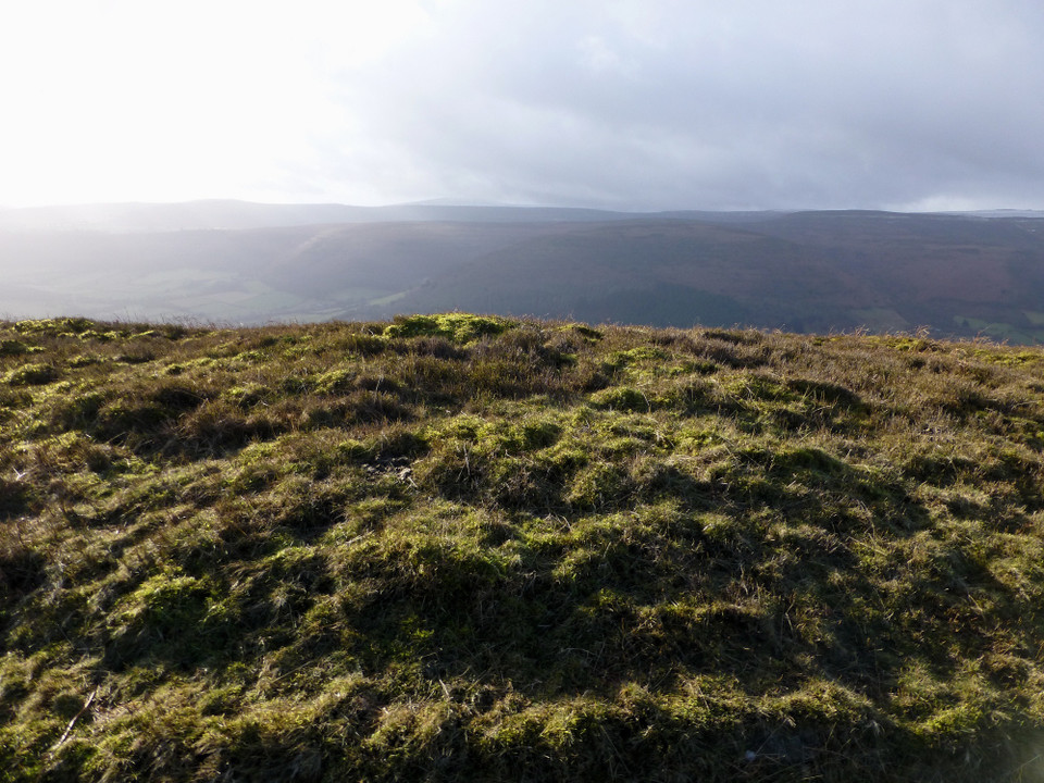
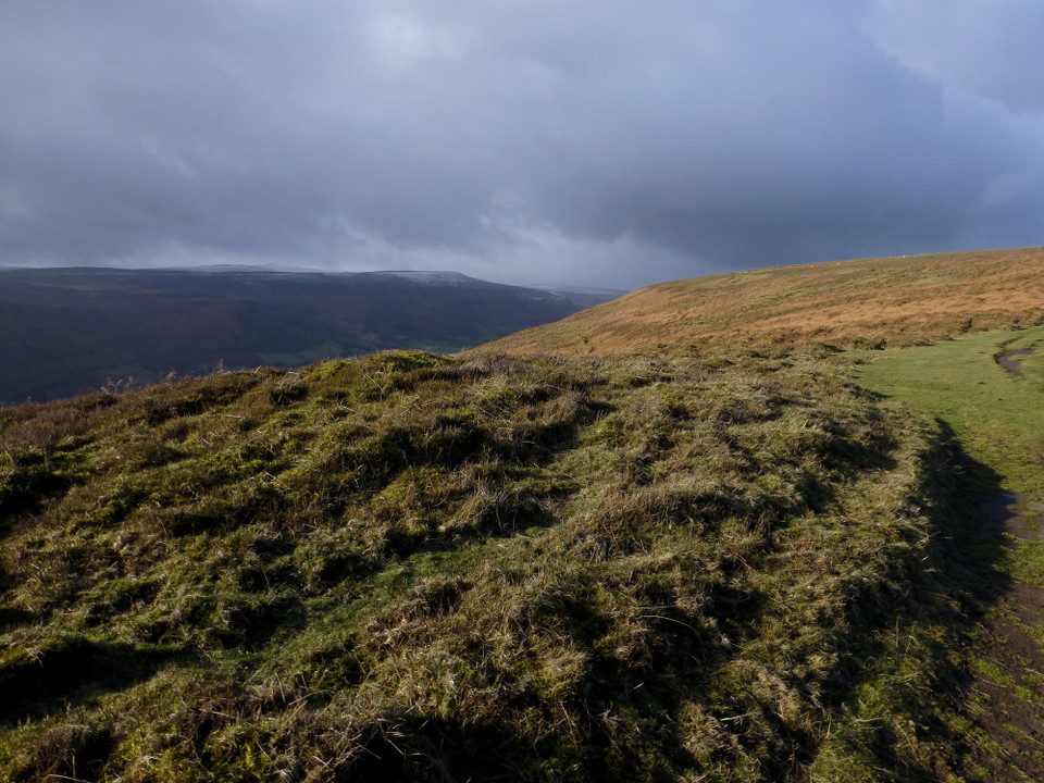
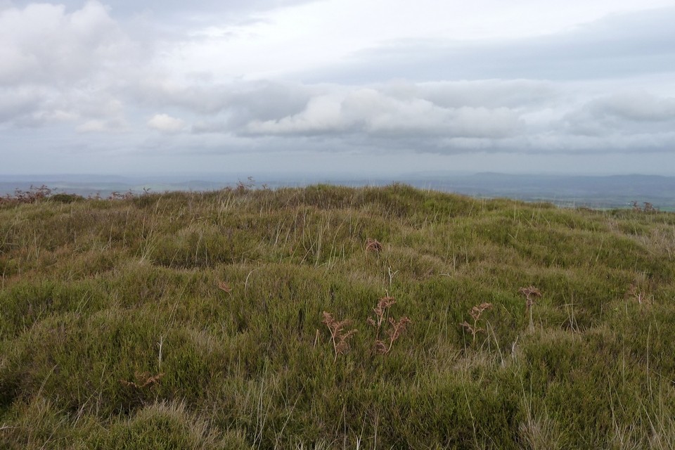
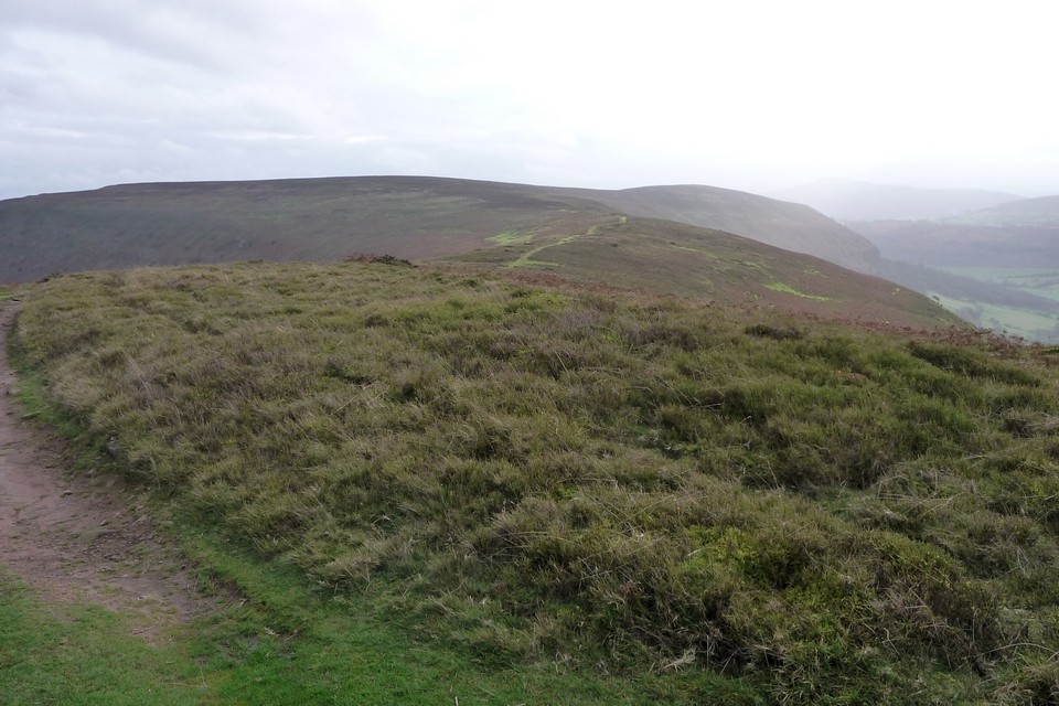
Coflein has the following for this cairn, not marked on the OS 1/25000 map:
Remains of a round cairn situated on the summit of the ridge extending to the N of Hatterrall Hill. The cairn measures 7m in diameter and about 0.5m in height.
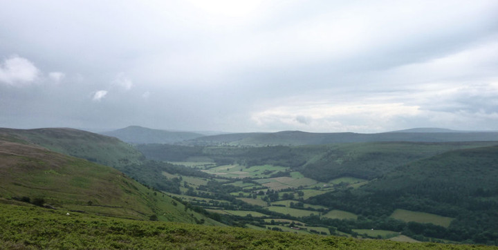
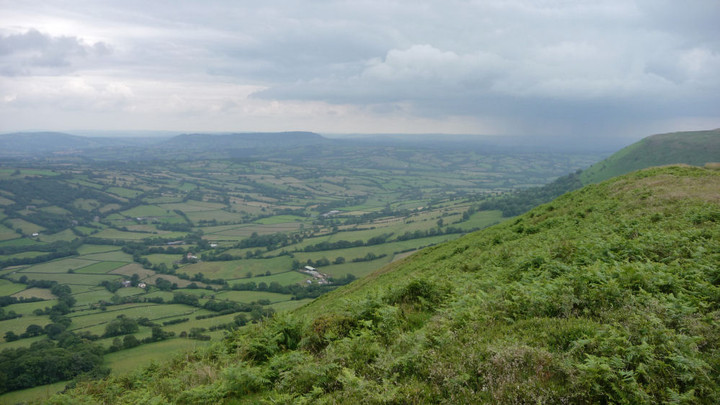
Comments (0)
|
Add a comment
|
Permalink
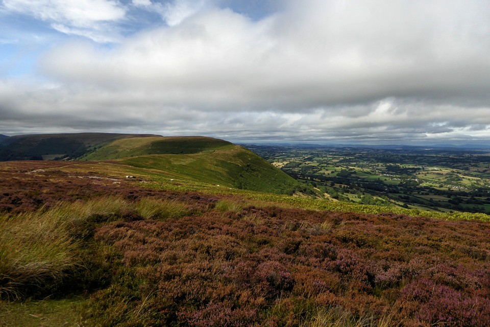
Posted by
thesweetcheat
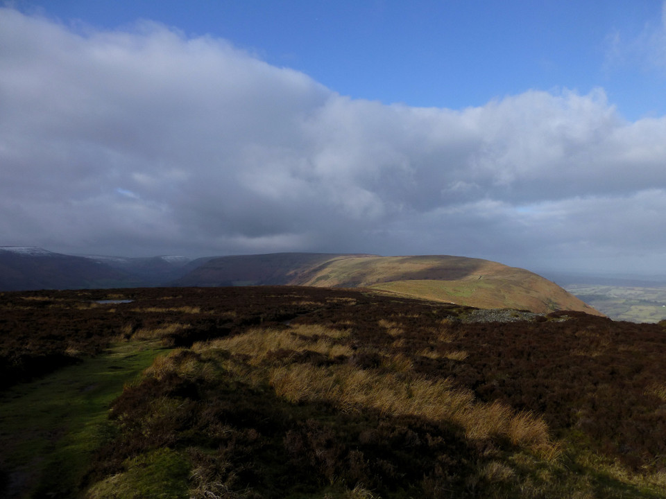
21st November 2011ce