A well situated about 20 yards to the west of the camp on Allt Dolanog, of great popular resort on Trinity Sunday. The name ('The Cock Well') may have been derived from the practice of cock fighting which was carried on close to the spring.
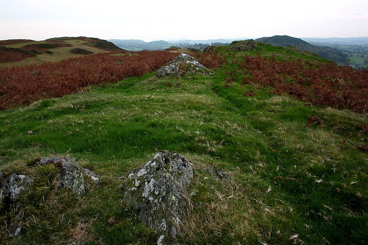
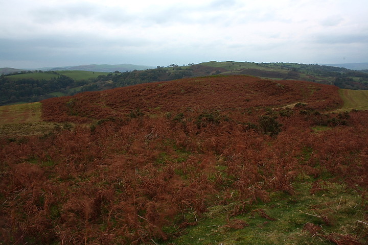
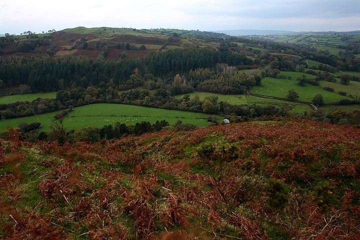
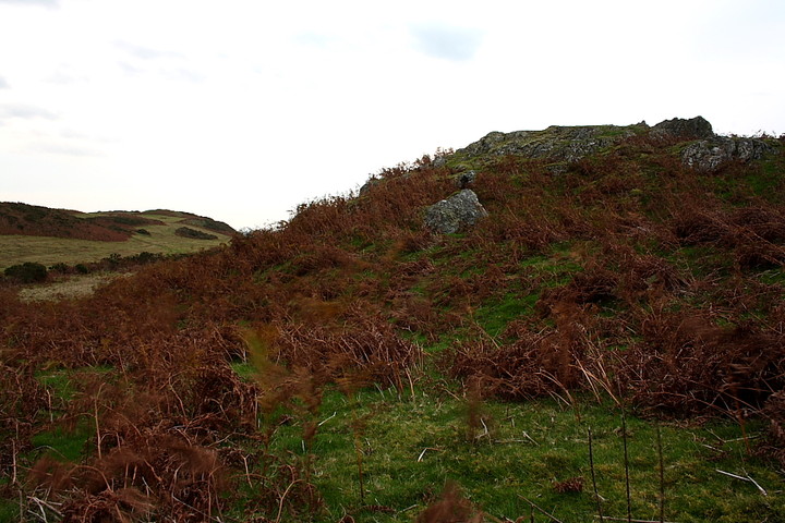
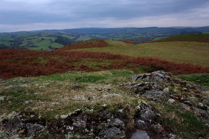
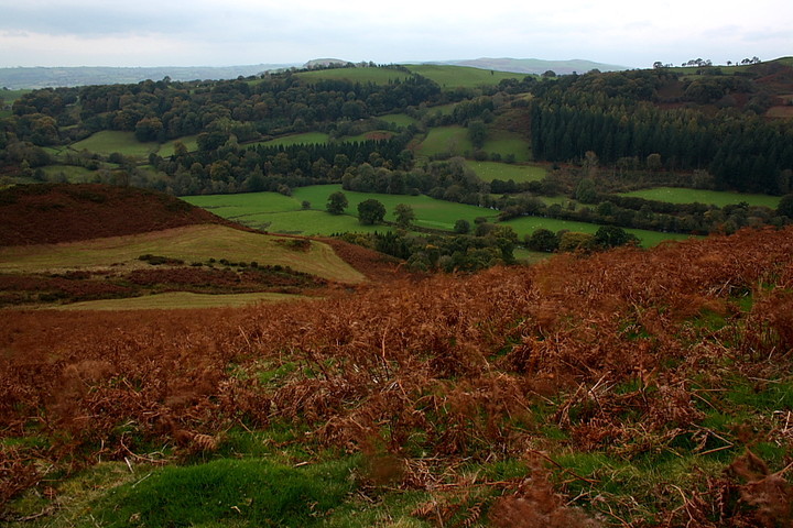
The 'Giant's Hall' is a pretty obscure hillfort offering panaromic views over the magnificent Mid Walian countryside... worth the short, but very steep climb from the road for those alone, in my opinion. The relatively well preserved defences protecting the easiest approach are a bonus, so to speak.
According to Coflein:
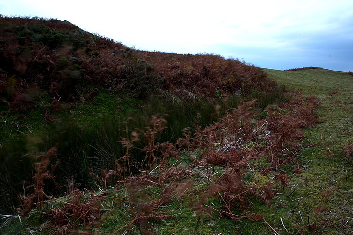
'A roughly oval enclosure, set in a saddle towards the summit of Allt Dolanog, c.164m by 86m, defined by an irregular plot of bank & ditch, facing rising ground, with a possible inner circuit, resting on steep natural scarps on the S. An annex is defined by a bank extending c.90m to the E. The site of a holy well lies immediately to the W (Nprn32421). The surrounding area shows traces of plough-cultivation.(source Os495card; SJ01SE2) - J.Wiles 07.01.04'.

 Posted by Rhiannon
 Posted by GLADMAN