The Modern Antiquarian. Stone Circles, Ancient Sites, Neolithic Monuments, Ancient Monuments, Prehistoric Sites, Megalithic MysteriesThe Modern Antiquarian


Mynydd Carnllechart

Cairn(s)

<b>Mynydd Carnllechart</b>Posted by thesweetcheatImage © A. Brookes (24.9.2011)
Nearest Town:Ammanford (8km WNW)
OS Ref (GB):   SN69350644 / Sheet: 160
Latitude:51° 44' 27.25" N
Longitude:   3° 53' 32.91" W

Added by thesweetcheat


Discussion Topics0 discussions
Start a topic


Show map   (inline Google Map)

Images (click to view fullsize)

Add an image Add an image
<b>Mynydd Carnllechart</b>Posted by thesweetcheat <b>Mynydd Carnllechart</b>Posted by thesweetcheat <b>Mynydd Carnllechart</b>Posted by thesweetcheat <b>Mynydd Carnllechart</b>Posted by thesweetcheat <b>Mynydd Carnllechart</b>Posted by thesweetcheat <b>Mynydd Carnllechart</b>Posted by thesweetcheat <b>Mynydd Carnllechart</b>Posted by thesweetcheat

Miscellaneous

Add miscellaneous Add miscellaneous
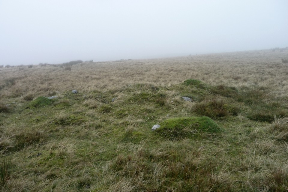
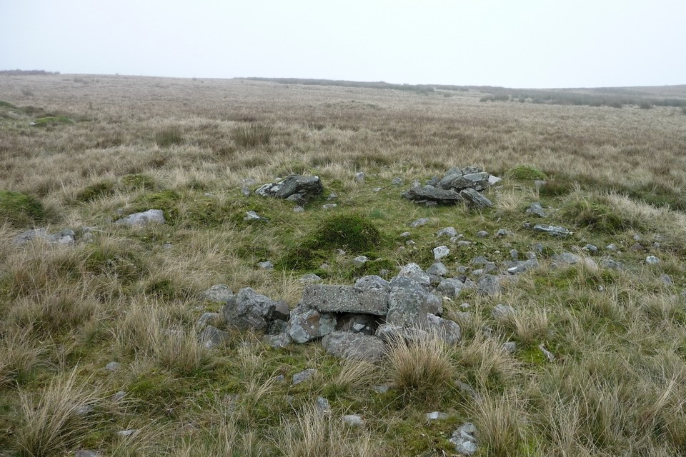
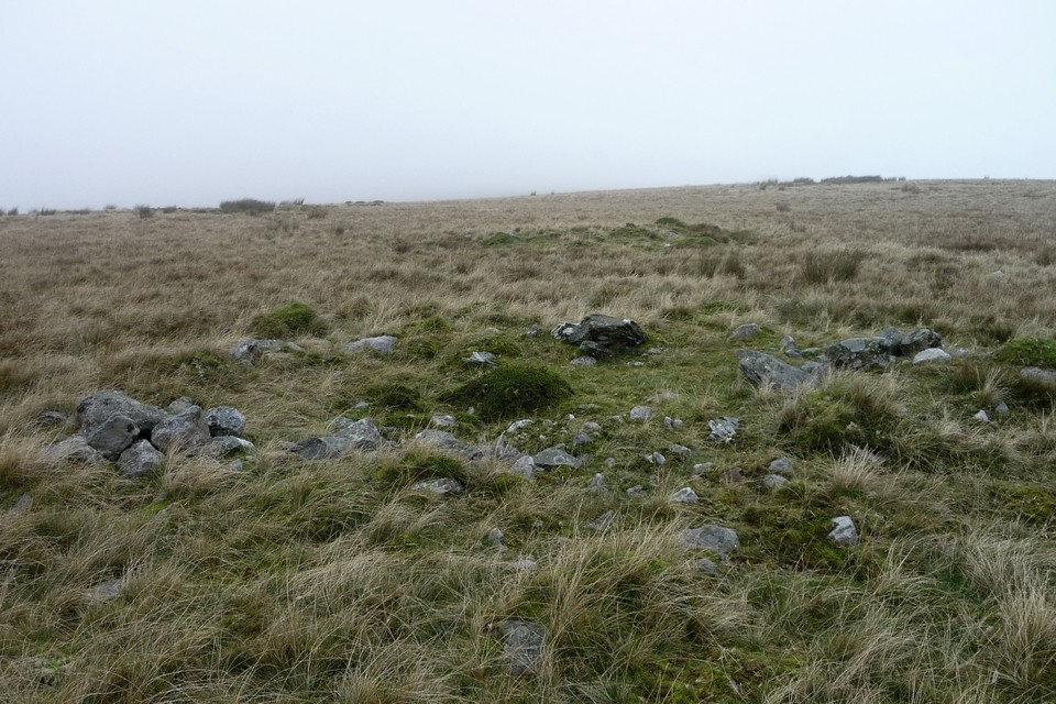
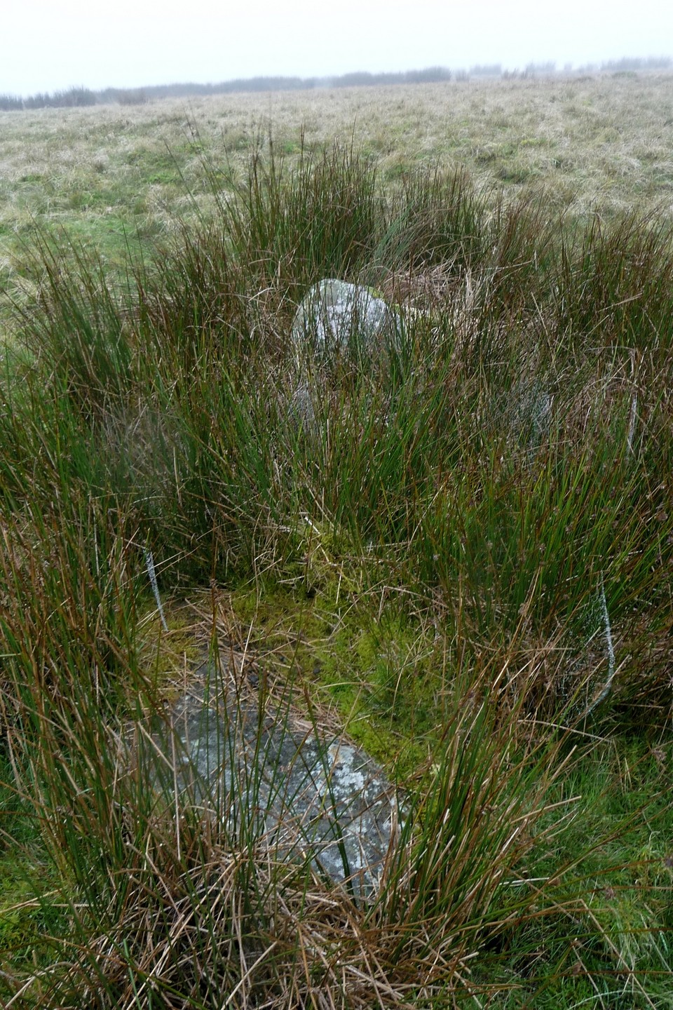
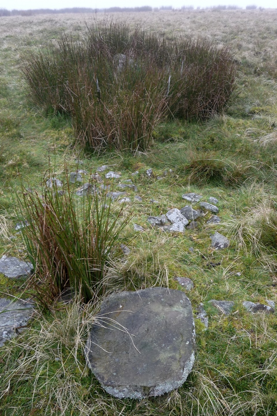
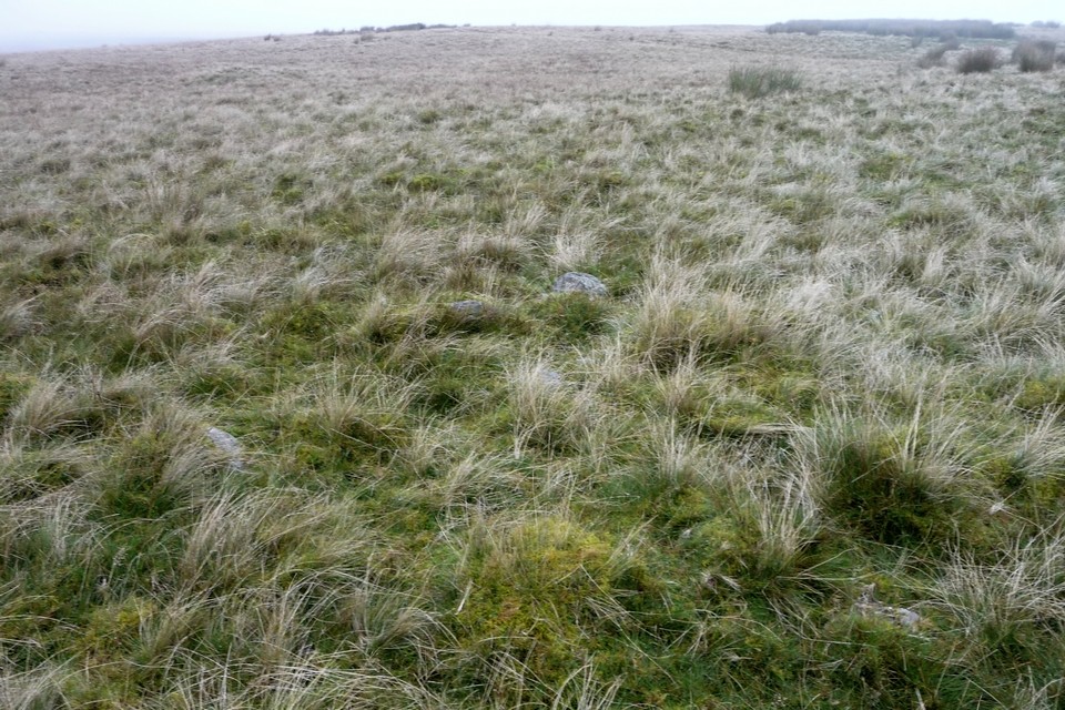
Not labelled on the OS Explorer (1:25000), although three mounds are shown. Coflein description from 2002:

A group of sixteen cairns, including three possible ring cairns and three exhibiting evidence of kerbing, which are considered to be ritual cairns, the remainder are thought to be clearance features, however these two catagories of cairn should not be expected to be mutually exclusive.
thesweetcheat Posted by thesweetcheat
25th September 2011ce