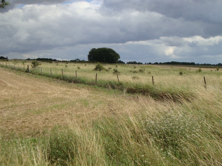
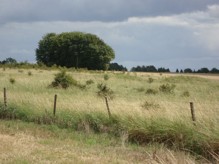
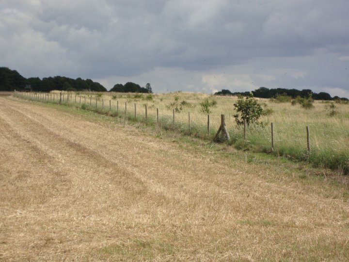
The area around this barrow group is not public access and the day I went to look around, there was a tractor working in the opposite field. I was a foot and worked my way down the wooded area which leads to the barrow cemetery. Until recently the whole cemetery had been covered by a plantation.
Although I could make out some of the barrows in the rough grassland that has now replaced the woodland, I couldn't get close enough for a good investigation. There seemed to be one big barrow on the crest of the ridge and several smaller ones running in a line, down from it. You would get a much clearer picture in the winter months when the grass has died down.
ACCESS
Not a public assess area but try parking on the hard standing at SU 11673 44455, just off the Packway.
Best day to visit any MOD area on the Salisbury Plain training area, is Sunday, after church.
An early Bronze Age round barrow cemetery comprising 14 extant earthwork round barrows and one plough-levelled mound described by Colt Hoare as "non sepulchral": each round barrow is recorded separately (see child records). The cemetery comprises disc, saucer and bowl forms in a compact linear group extending over an area measuring 375m east to west by 170m wide. Colt Hoare opened most of the barrows in the early 19th century. Some of the barrows suffered damage from military activity during the Second World War, after which a tree plantation covered the site. The trees were removed in the late 1990s. A Level 3 detailed analytical survey and investigation of the round barrow cemetery (at 1:1000 scale) was carried out by English Heritage in 2010 as part of its Stonehenge WHS Landscape Project. The survey suggests a relative stratigraphy for the central group of barrows, which appear to have an east to west progression. The earthworks are threatened by hawthorn scrub and burrowing animals.


 Posted by Chance