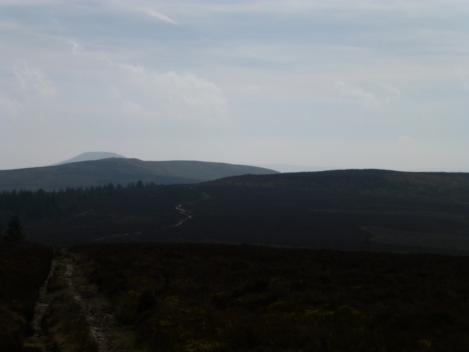
I head up to the top of Blaen-yr-Henbant, ignoring the more obvious scar of the Beacons Way to get the best of the views. The breeze up here is very stiff, but worth enduring to reveal the nearby hillfort of Twyn y Gaer Camp and the unmistakeable summit of The Sugarloaf/Pen y Fal. The best view is behind me, where Crug Hywel and the domed summit of becairned Pen Cerrig-calch form the backdrop to the valley now far below. The route drops briefly before rising again, steeper now as it reaches the final pull to the summit of Crug Mawr, at 550m OD the fingertip of the Gadair ridge, the third and highest of the five ridges forming the “hand” of the Black Mountains.
It is very blowy at the summit trig, so I press straight on – the principle objective of today’s walk is now directly ahead. Dropping from the top, the path turns darker and wetter, grassy slopes replaced with peat and a surrounding cover of heather, mercifully low at this time of the year. A trio of ponies block the path, but they are young and skittish, scampering away as I prepare to divert around them.
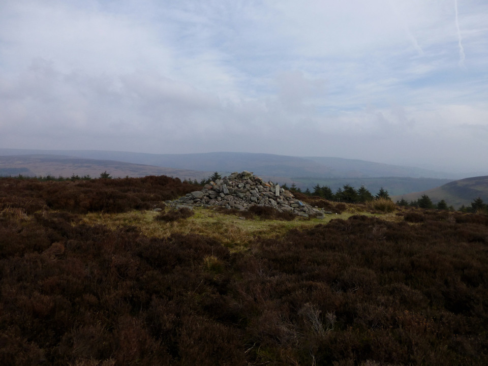
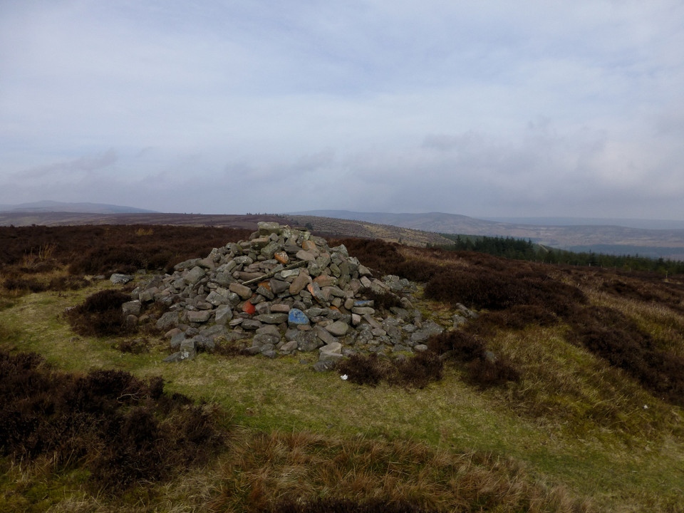
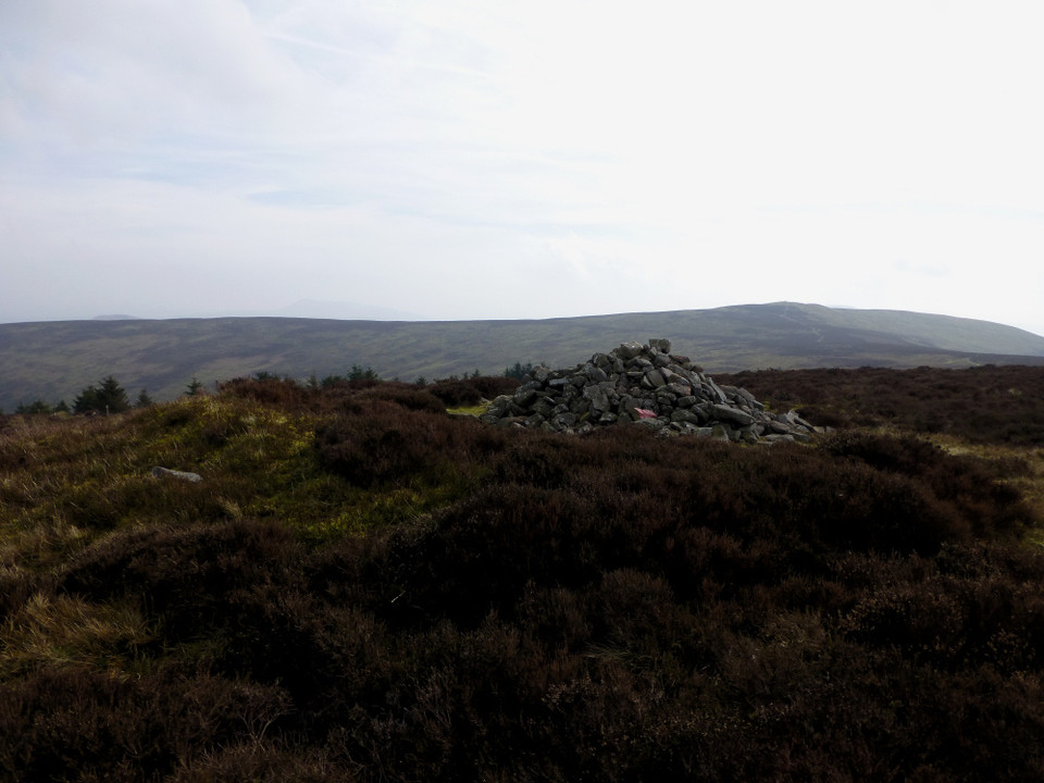
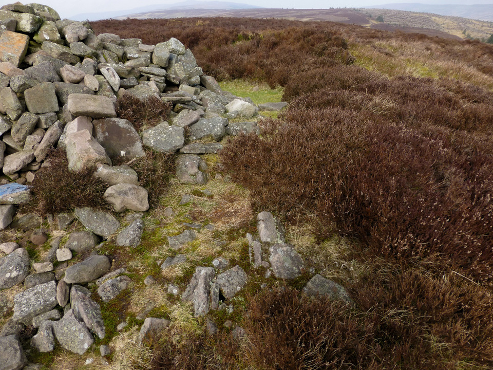
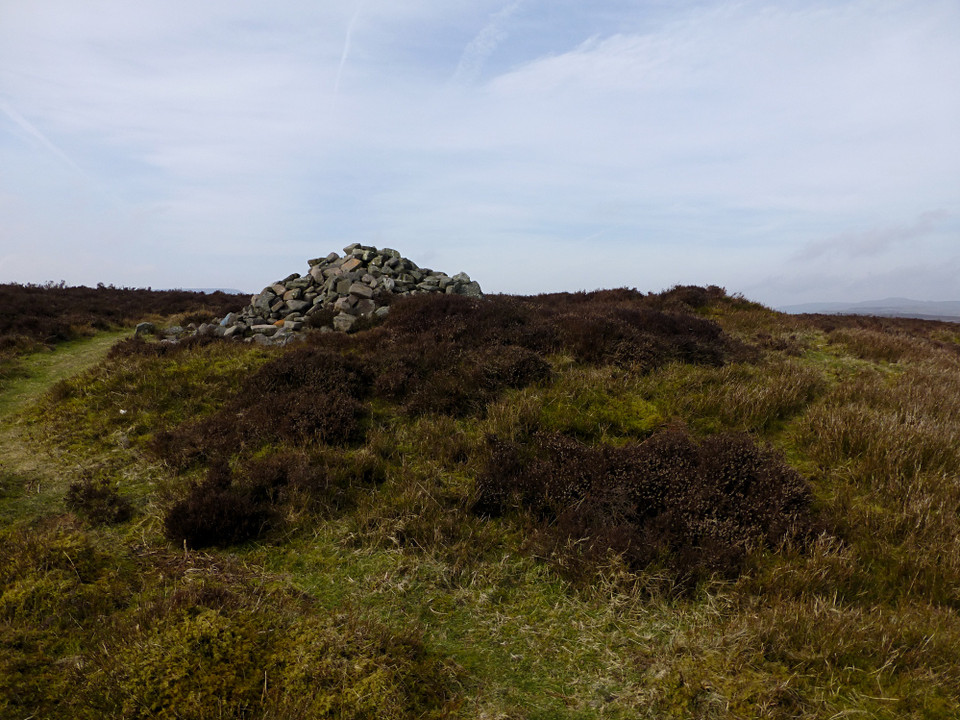
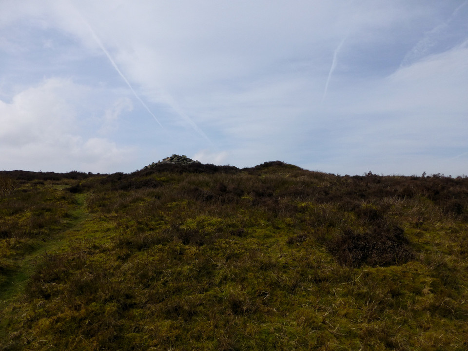
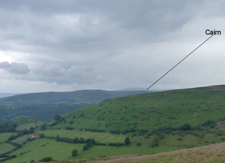
It’s not far from Crug Mawr to the Disgwylfa cairn, though I miss the turn off the main path slightly, as the cairn disappears from view briefly, blocked by the intervening ground. As I cut across the heather, the stone pile atop the cairn appears first. Some of the boulders in the pile have been painted red or blue, inexplicably. But the mound beneath is much bigger, prominent despite the covering vegetation. The centre has been scooped out and presumably provides the majority of the material for the stone pile. There is no sign of a cist or central structure. The views are brilliant, taking in the splendid summit of Pen-y-Gadair Fawr along the ridge, while the beehive’d cairn of Garn Wen can be seen on the next ridge to the east. The top of the Sugarloaf peaks out behind Crug Mawr, although the hazy sunlight makes visibility limited in that direction.
Coflein suggests that the "cairn" marked on the OS map is a more modern addition to an earlier barrow:
The cairn is located on the east facing slope, just beneath the top of Disgwylfa. The circular cairn is constructed of small easily-portable stones forming a dense pile and measures 4m diameter and 1m high. The cairn sits within an area of turfed over stones about 8 metres across, the north side of which is preserved as a bank 0.5 metres high and 4 metres long. It seems therefore that the cairn has been constructed in recent times out of an older monument, probably a barrow. The ground cover was heather at the time of survey.
N.A. Vaughan, ArchaeoPhysica Ltd, 30/08/2007

 Posted by thesweetcheat