The Modern Antiquarian
Log in
|
Register
Home
Latest Posts
Forums
Maps
Help
Browse Sites
News
Blog
Contributors
The Books
Select
-
Belgium
Denmark
Eire
France
Germany
Greece
Italy
The Netherlands
Norway
Portugal
Republic of Malta
Spain
Sweden
Switzerland
United Kingdom
County Mayo
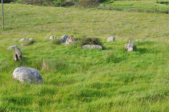
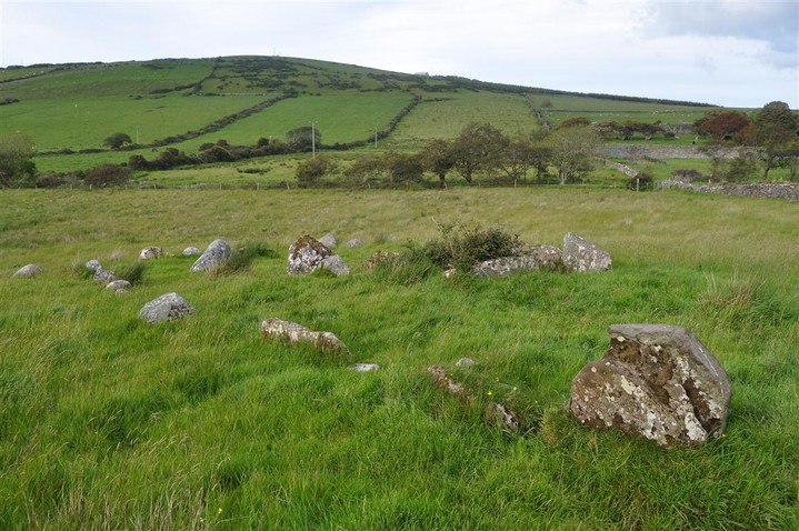
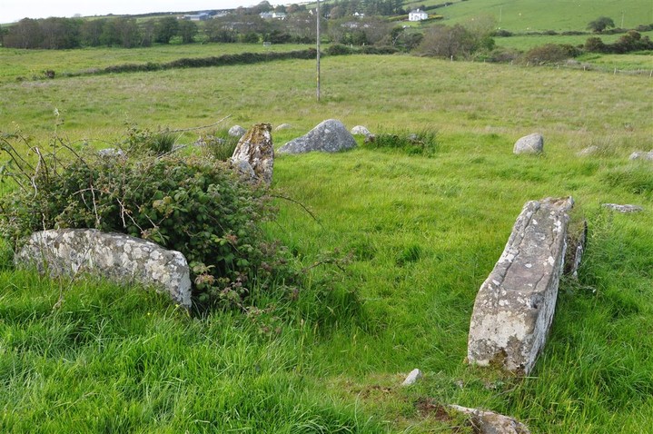
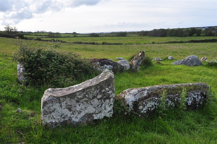
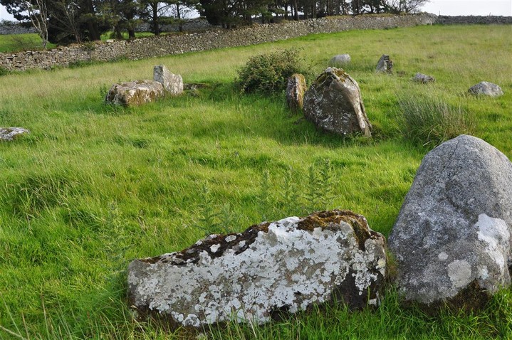
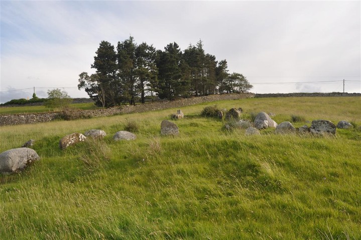
Gortatoor
Court Tomb
Gortatoor (Court Tomb) on The Modern Antiquarian, the UK & Ireland's most popular megalithic community website. 6 images, plus information on many more ancient sites nearby and across the UK & Ireland.
Image © Charles Coughlan
OS Ref (IE):
Latitude:
54° 16' 8.11" N
Longitude:
9° 20' 13.31" W
Added by
bogman
Images (6)
0 discussions
Start a topic
Show |
Hide
Web searches for Gortatoor
Flickr
Google
Google Images
Bing
Stone Pages
Wikipedia
Show map
(inline Google Map)
- Sites within 20 km -
-
Ballyglass (3.43km W) (5 posts)
Ballyglass (3.75km W) (13 posts)
Annagh More (3.92km SW) (1 post)
Castletown (W) (4.1km ENE) (10 posts)
Castletown (E) (4.37km ENE) (6 posts)
Rathlackan (4.39km ENE) (15 posts)
Ballyknock W (5.06km W) (5 posts)
Doonfeeny cross pillar (5.32km WNW) (10 posts)
Breastagh (5.85km E) (9 posts)
Creevagh (5.86km NE) (6 posts)
Carrowtrasna (5.88km ENE) (8 posts)
Breastagh (5.97km E) (9 posts)
Rathfran Wedge Tomb (6.2km E) (13 posts)
Carbad Mor (6.42km E) (9 posts)
Downpatrick Head (6.49km NNW) (7 posts)
Rathfran (6.69km E) (1 post)
Rathfran - Stone Circle (6.91km E) (9 posts)
Banagher (7.27km ENE) (7 posts)
Cashel (7.37km E) (4 posts)
Belladooan (7.54km S) (2 posts)
Glenulra (7.98km W) (5 posts)
Kilcummin Holy Well (8.41km ENE) (5 posts)
Ceide Fields (8.84km W) (15 posts)
Behy (9.05km W) (17 posts)
Tawnywaddyduff (Ma. 43) (11.23km SSW) (1 post)
Tawnywaddyduff (11.23km SSW) (3 posts)
Tawnywaddyduff (Ma. 39) (12.08km SSW) (4 posts)
Tawnywaddyduff (12.11km SSW) (3 posts)
Lessanny (12.32km S) (0 posts)
Belderg (15.07km W) (15 posts)
Cloonkee (16.56km SE) (1 post)
Enagh Beg (17.66km S) (3 posts)
- Add -
-
Add news
Add an image
Add fieldnotes
Add folklore
Add miscellaneous
Add a link
-
Add a site
Add a nearby facility
Add an alternative name/spelling
Images
(click to view fullsize)
Add an image