The Modern Antiquarian. Stone Circles, Ancient Sites, Neolithic Monuments, Ancient Monuments, Prehistoric Sites, Megalithic MysteriesThe Modern Antiquarian


Wiral Cairn, Black Mountains

Round Cairn

<b>Wiral Cairn, Black Mountains</b>Posted by thesweetcheatImage © A. Brookes (24.1.2015)
Nearest Town:Crickhowell (12km SSW)
OS Ref (GB):   SO29852871 / Sheet: 161
Latitude:51° 57' 7.06" N
Longitude:   3° 1' 15.1" W

Added by GLADMAN


Discussion Topics0 discussions
Start a topic


Show  |  Hide
Web searches for Wiral Cairn, Black Mountains
Show map   (inline Google Map)

Images (click to view fullsize)

Add an image Add an image
<b>Wiral Cairn, Black Mountains</b>Posted by thesweetcheat <b>Wiral Cairn, Black Mountains</b>Posted by thesweetcheat <b>Wiral Cairn, Black Mountains</b>Posted by thesweetcheat <b>Wiral Cairn, Black Mountains</b>Posted by thesweetcheat <b>Wiral Cairn, Black Mountains</b>Posted by thesweetcheat <b>Wiral Cairn, Black Mountains</b>Posted by thesweetcheat <b>Wiral Cairn, Black Mountains</b>Posted by thesweetcheat <b>Wiral Cairn, Black Mountains</b>Posted by thesweetcheat <b>Wiral Cairn, Black Mountains</b>Posted by thesweetcheat <b>Wiral Cairn, Black Mountains</b>Posted by thesweetcheat <b>Wiral Cairn, Black Mountains</b>Posted by thesweetcheat <b>Wiral Cairn, Black Mountains</b>Posted by thesweetcheat <b>Wiral Cairn, Black Mountains</b>Posted by thesweetcheat <b>Wiral Cairn, Black Mountains</b>Posted by thesweetcheat <b>Wiral Cairn, Black Mountains</b>Posted by thesweetcheat <b>Wiral Cairn, Black Mountains</b>Posted by GLADMAN <b>Wiral Cairn, Black Mountains</b>Posted by GLADMAN <b>Wiral Cairn, Black Mountains</b>Posted by GLADMAN <b>Wiral Cairn, Black Mountains</b>Posted by GLADMAN <b>Wiral Cairn, Black Mountains</b>Posted by GLADMAN <b>Wiral Cairn, Black Mountains</b>Posted by GLADMAN <b>Wiral Cairn, Black Mountains</b>Posted by GLADMAN

Miscellaneous

Add miscellaneous Add miscellaneous
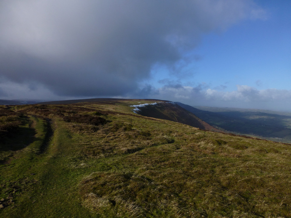
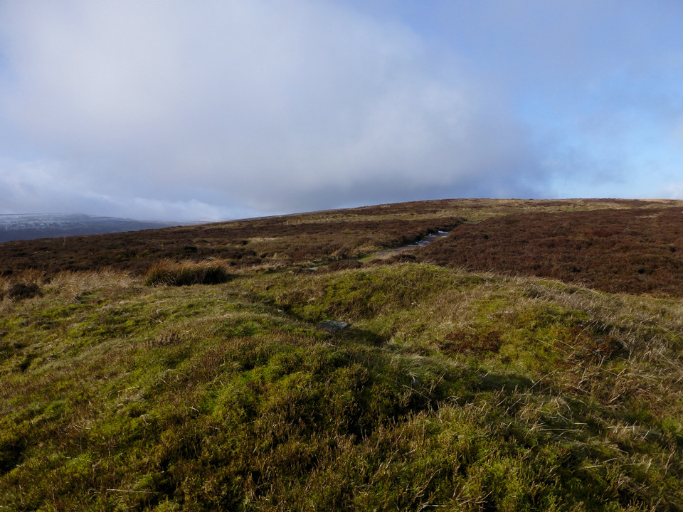
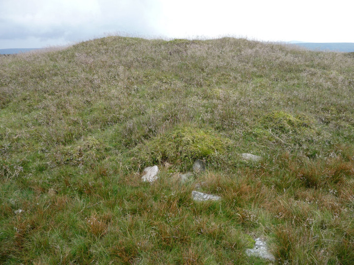
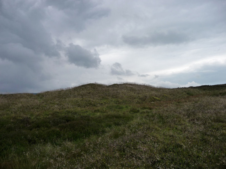
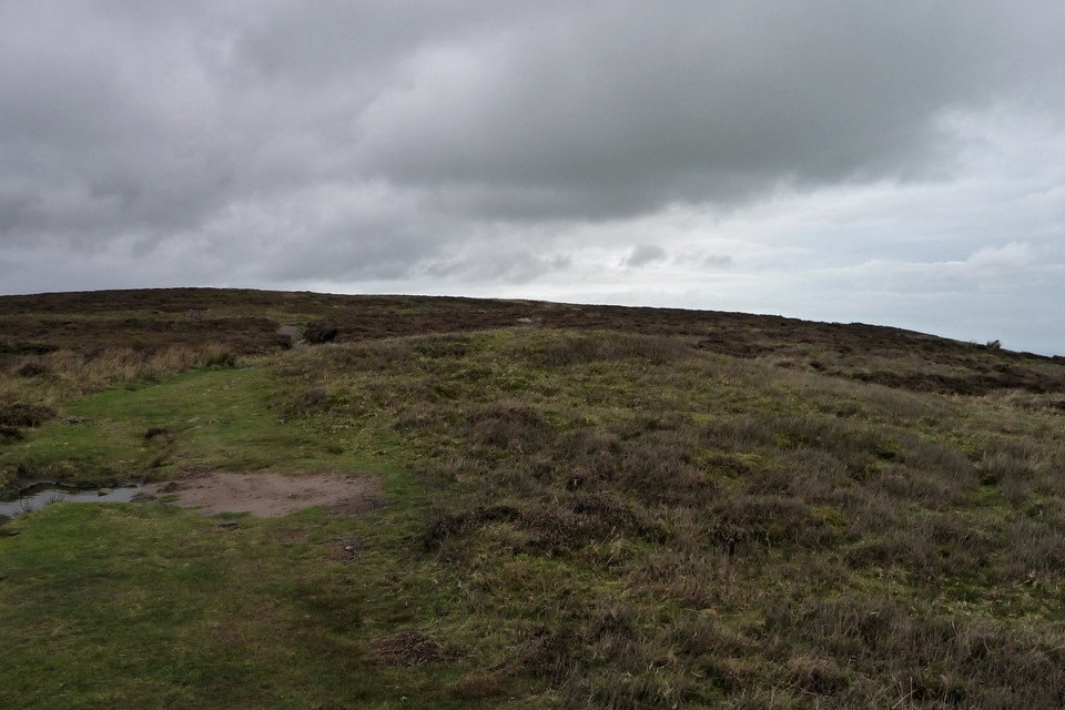
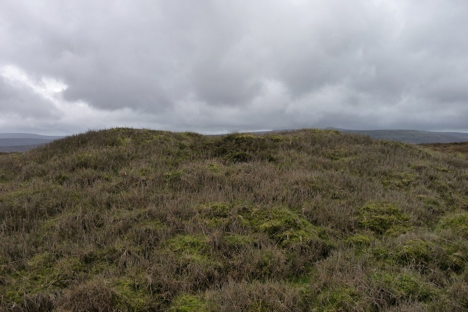
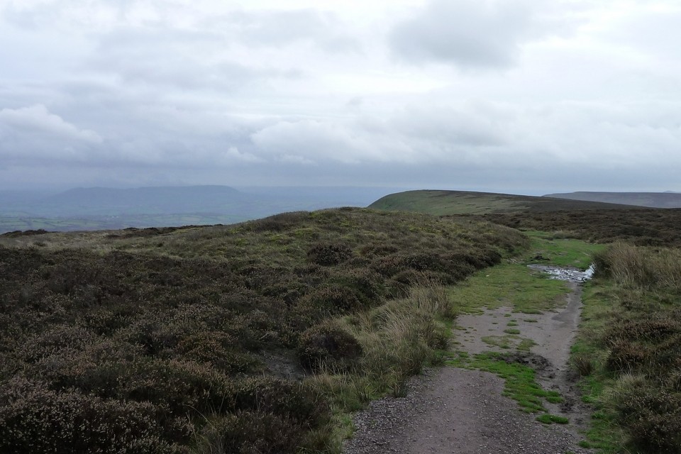
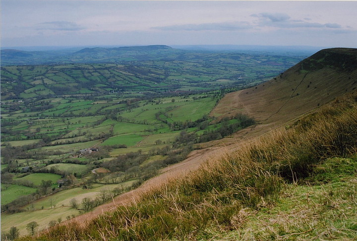
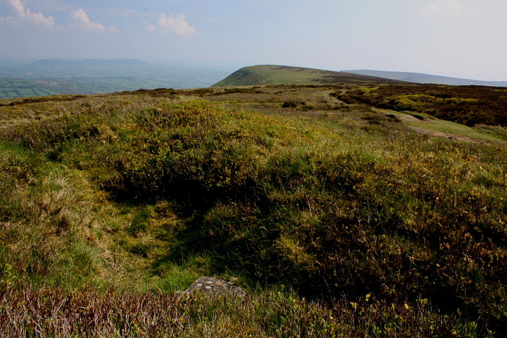
I make this denuded monument to be fractionally across the English border... although, to be honest, lines upon maps mean nothing up here. The Offa's Dyke Long Distance Path runs right past the western flank.

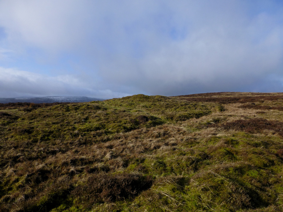
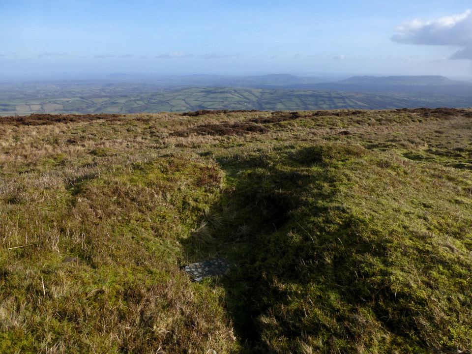
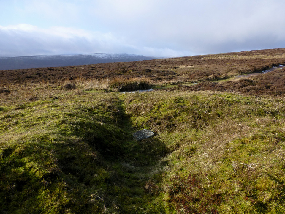
Nevertheless, Coflein have the cairn recorded as:

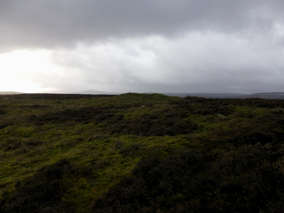
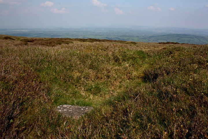
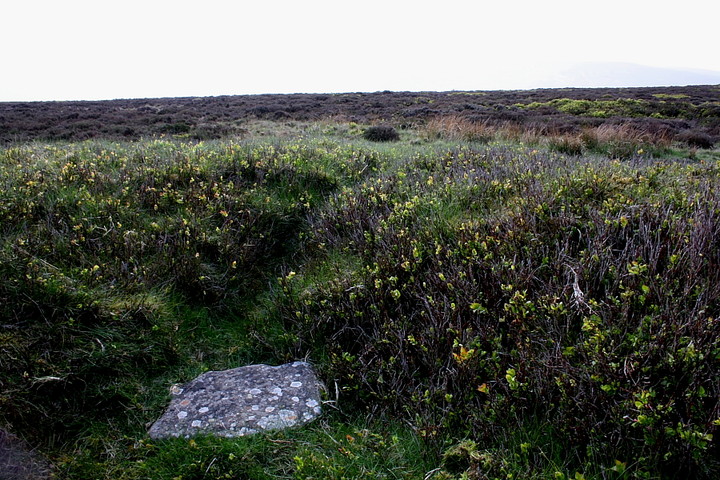
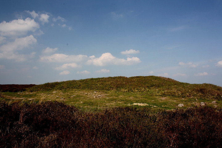
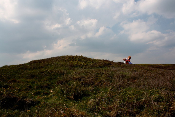
'A centrally disturbed cairn, 14m by 12m and 1.4m high. (source Os495card; SO22NE13)J.Wiles 03.09.02'
GLADMAN Posted by GLADMAN
30th April 2011ce
Edited 30th April 2011ce