Roundton
Hillfort
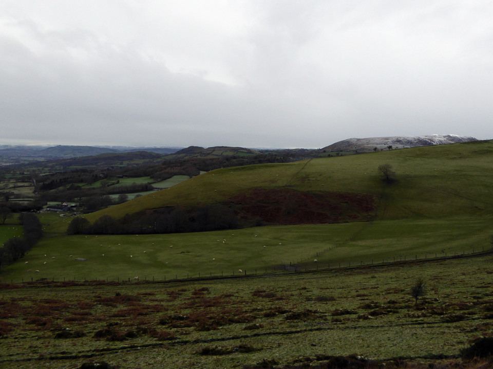
 Image © A. Brookes (16.1.2016) Image © A. Brookes (16.1.2016)
|
| Nearest Town: | | Bishops Castle (7km SSE) | | OS Ref (GB): | | SO29389497 / Sheet: 137 | | Latitude: | | 52° 32' 51.22" N | | Longitude: | | 3° 2' 29.61" W |
|
|
Web searches for Roundton
|
|
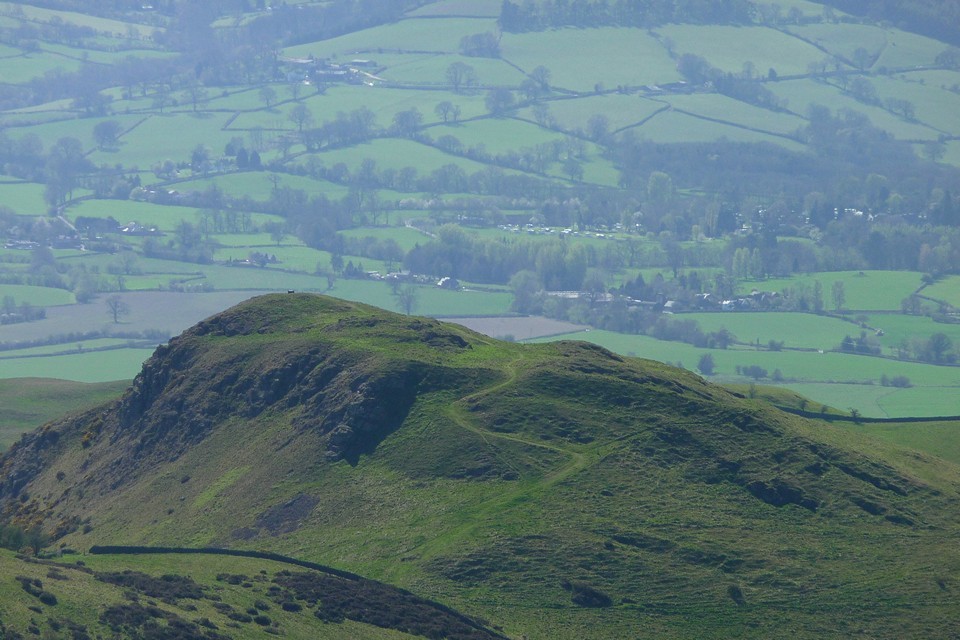
Marked as a "fort" on the OS and visible from the cairns on Corndon Hill, Coflein has the following description:
Roundton Hillfort is an irregular hilltop enclosure, c.160m by 100m, defined by a single bank except where it rests on precipitous slopes to the east.
|
 Posted by thesweetcheat
15th April 2011ce
|
|