Part of the hillforts ramparts
Image credit: Bawn79 © 2011
Part of the hillforts ramparts

The prominent castle in the centre of the hillfort

Aerial view of the hillfort
As the Ballyhoura Survey says the most prominent feature of this hillfort is the ruins of the castle in its centre. Those who travelled the old N8 will probably remember this castle as a landmark between Mitchelstown and Ferymoy. Now on the new M8 its much more difficult to see.
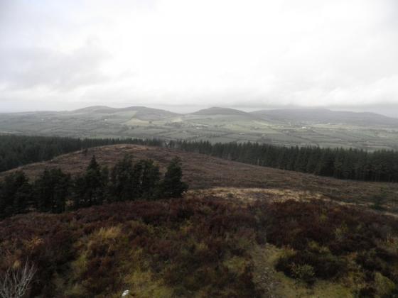
The height of the fort is 210m and it doesnt really dominate the surrounding area.
It encompasses an area of 12ha and is 470m east-west annd 330m north south. The rampart is quite clear to the eastern side (where I walked up from) but trickier to follow through scrub on the other sides.