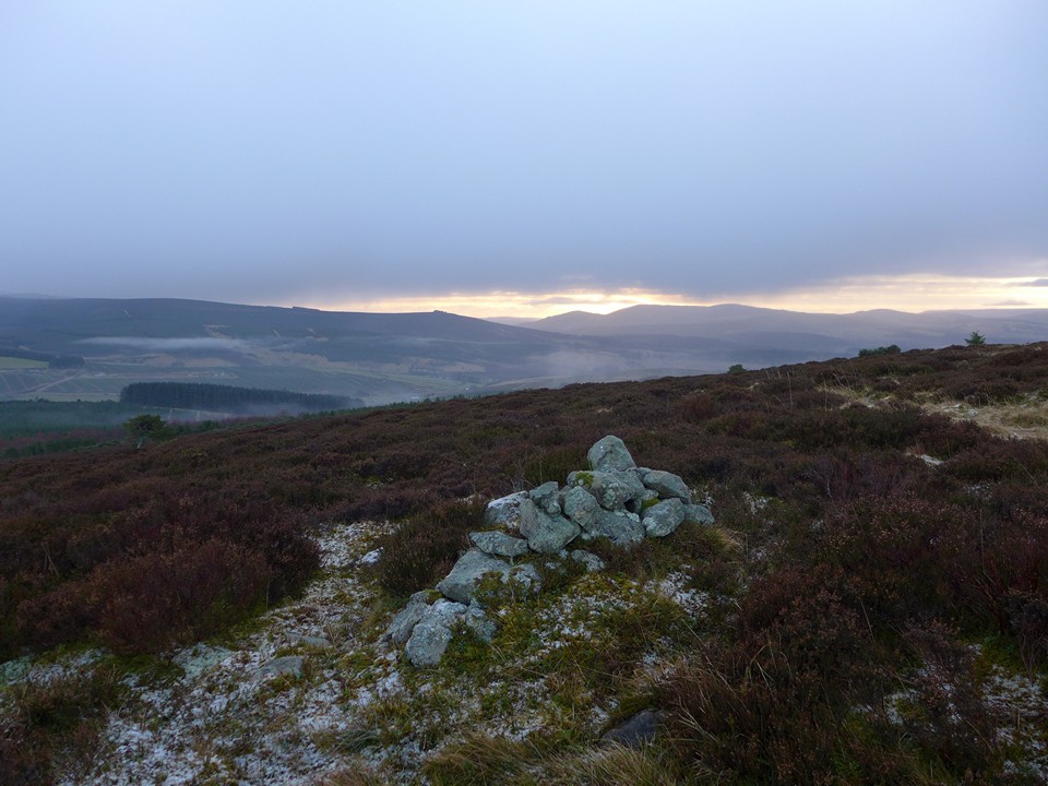
04/02/2018 - Been over Satter Hill a few times but didn't remember the cairn. Made sure to have a look for it this time. Same route as Drew's. Old maps list it as 'a pile of stones' and it's hard to argue with that. Not much to see but the view and walk was nice. A little rainy first thing but nothing too bad and a very light dusting of snow on top.
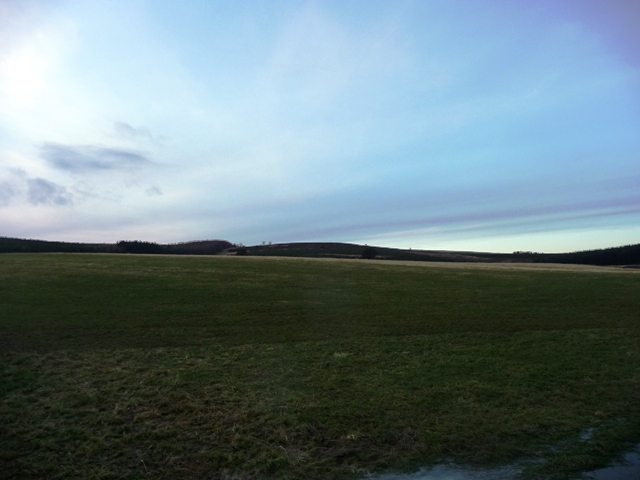
Go south from the village of Auchleven (parish of Premnay) and stop at the Towmill track on the B992. This part of the road is known as the Brindy and marks the western end of the Bennachie range. There is a small car park here for people who walk the Gordon Way. On the other side of the road there are wooden steps on to the Gordon Way.
Two days ago this area had been under 2 inches of snow and I'd been chased back down the first hill, The Brindy, by a blizzard. However most of the snow had gone for todays visit. The climb is quite steep. Fortunately a frost had saved the area from being a mudbath so underfoot conditions were fine. At the top of the Brindy Hill keep going straight as turning right leads eventually to Auchleven.
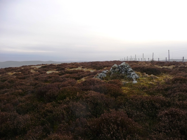
At one side is a mature forest on the other Christmas trees grow. Sadly one Christmas tree, complete with tag and price, had been left lying on the ground. Keep going until the deer fence and turn north following the fence. If you stick to the path eventually you will reach the cairn at Knock Saul.
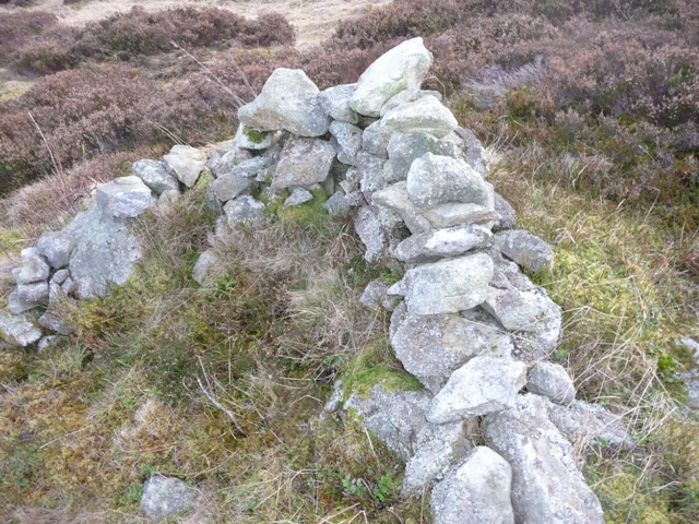
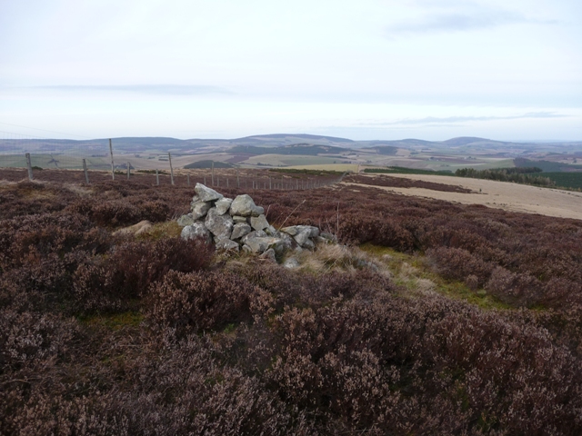
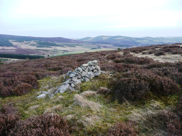
The cairn is situated on the peak of Satter Hill with fantastic views all round. Unfortunately most of the stones have been removed to make dry stane dykes but some original material is still there. On top of this stones have been built to make a wind break. This cairn I estimate would have been about 8 meters wide, how high would have to be guess work. Also there are many rocks possibly one, I saw, with cup marks. The next time Tiompan is up in the area I will lead him to this place.
But a very beautiful and thoughtful place. It was great to be back in the hills.

 Posted by thelonious