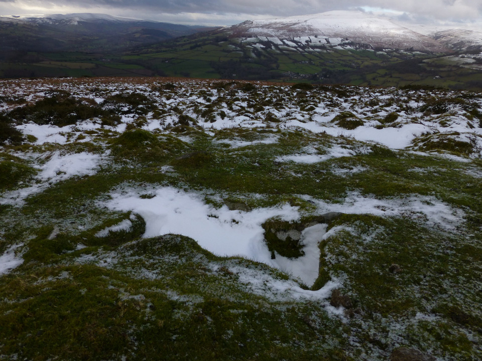
Damn and blast! "Visited" 3.1.2011 and didn't bother looking at the Coflein map or Mr G's map refs before going. And went the wrong way! Aargh. We were no more that 100 yards from the western cairn when we turned off the path southwards....
A further visit is clearly in order to assuage my immense irritation.
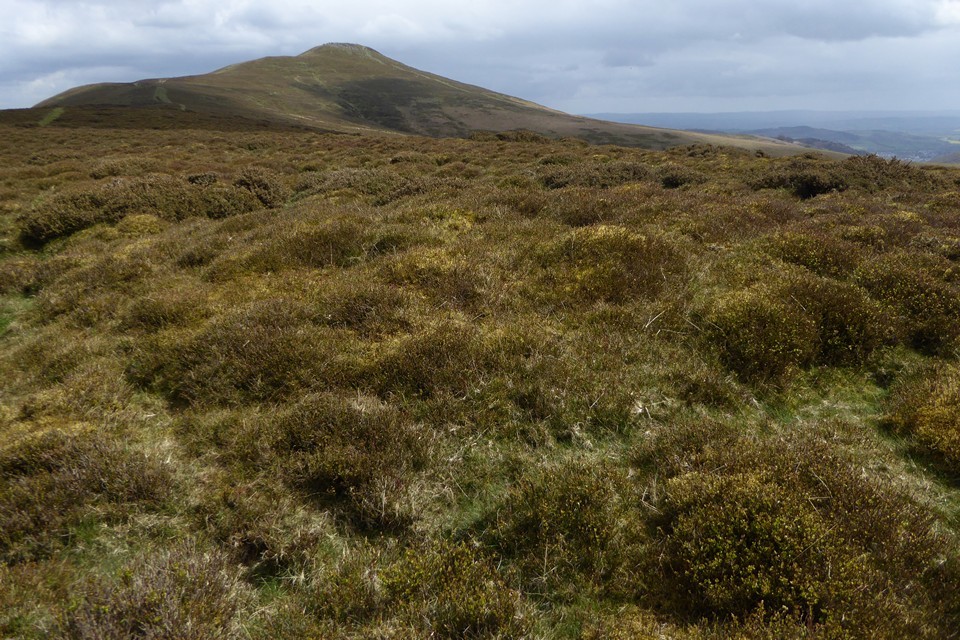
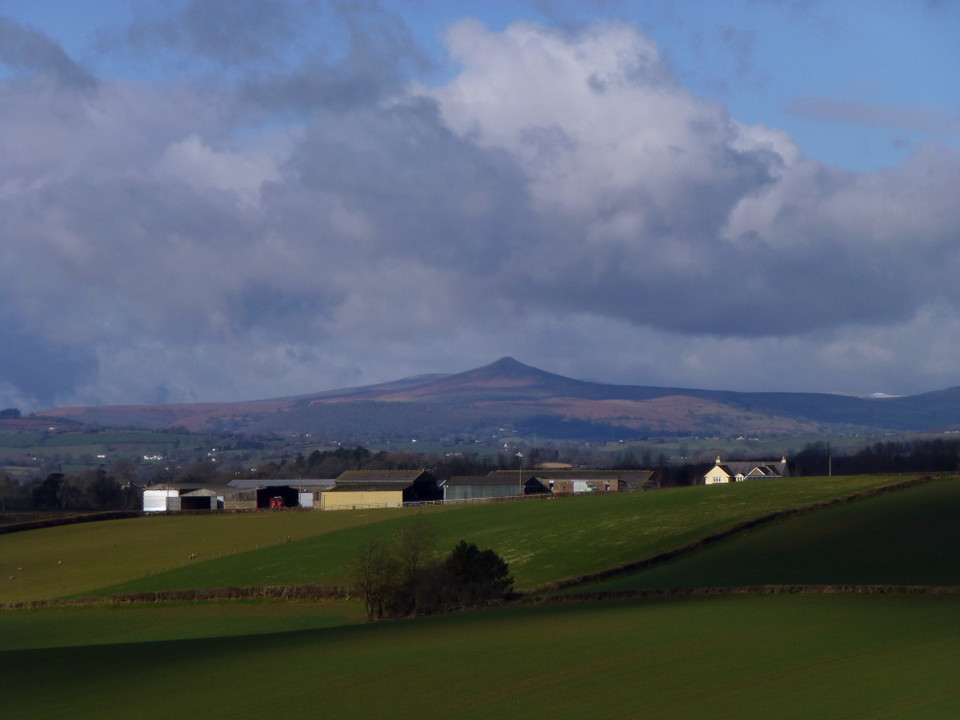
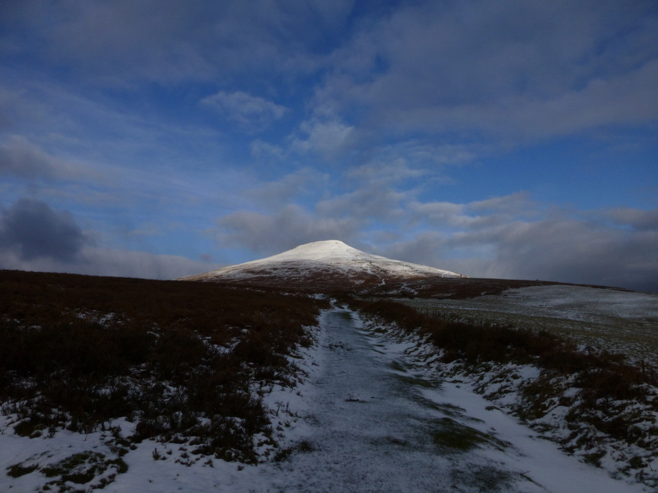
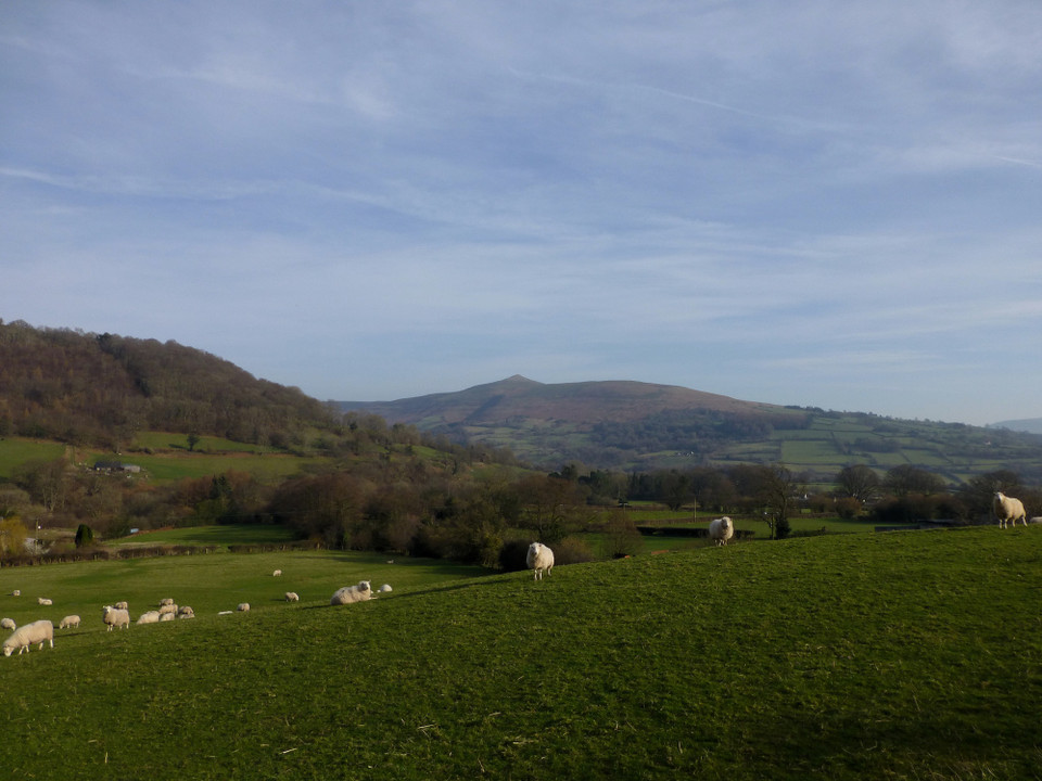
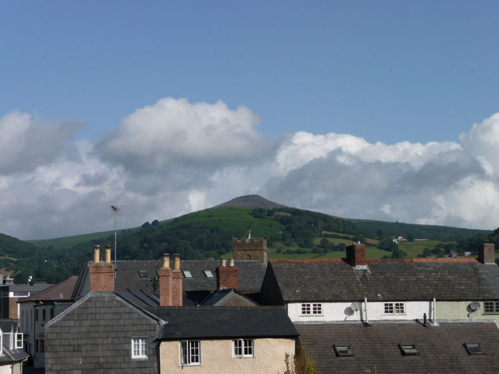
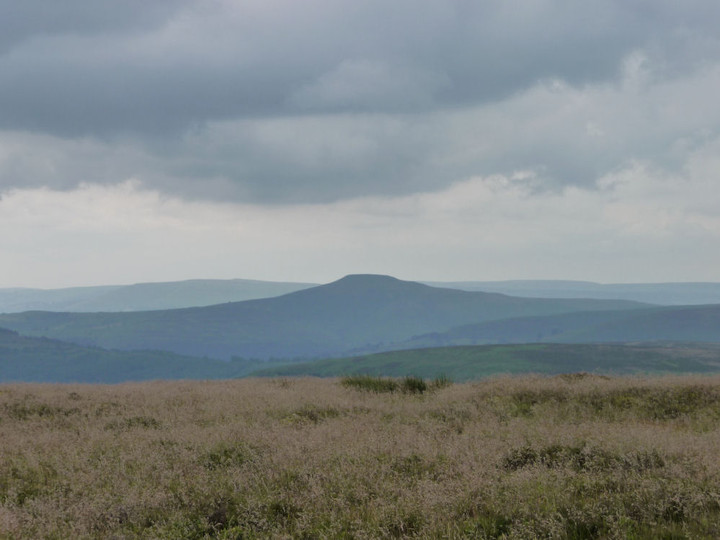
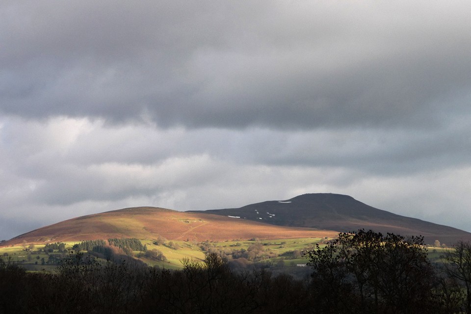
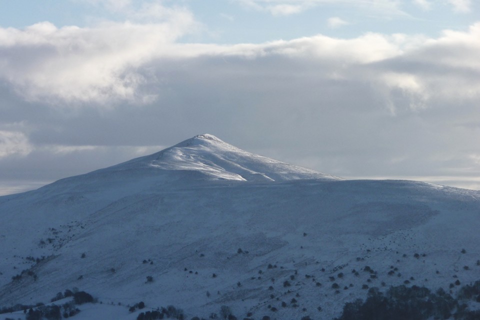
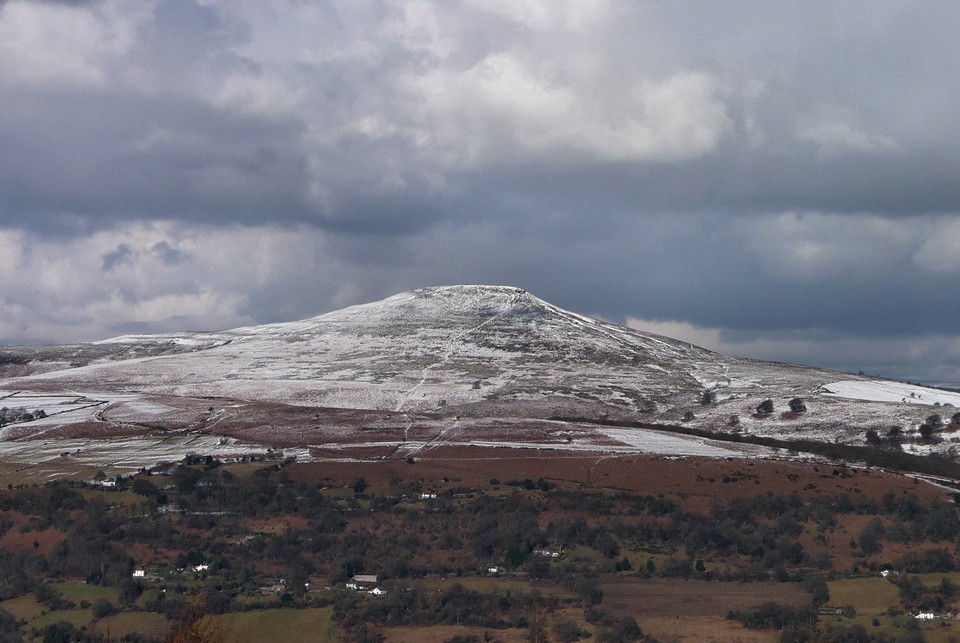
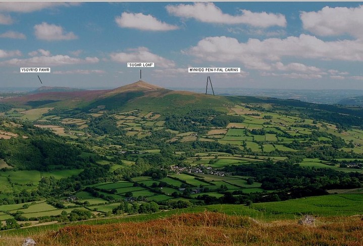
Mynydd Pen-y-fal, aka the 'Sugar Loaf', is a mountain possessing a distinctive profile which seems to ingrain itself upon/within the consciousness of walkers of upland South Wales... in a similar manner to that of the much more substantial Pen-y-Fan and Corn Du to the west. Why this should be so, I don't really know, but many has been the time the Mam C has excitedly pointed it out from the summit of much higher peaks. It's shapely isolation rising to the north of Abergavenny beguils, maybe, or is there simply 'something' in the local memes, perhaps? As a result I had to bring the Mam here, sooner or later, if only to stop her bloody going on about it, although at pains to point out that it possessed no prehistoric cairns. That I knew of, that is. Shows how much I knew, then.....
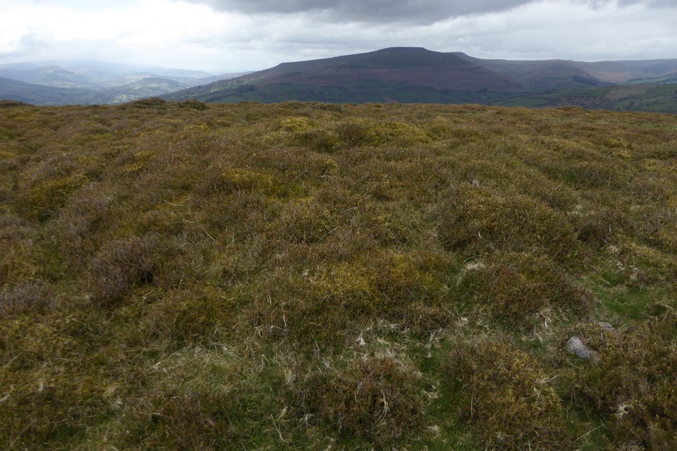
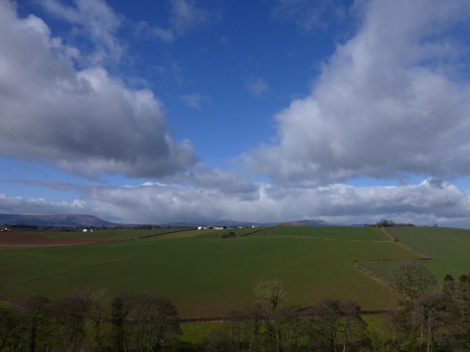
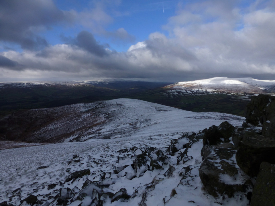
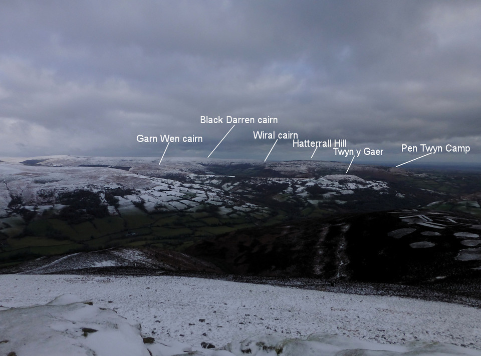
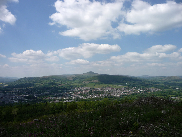
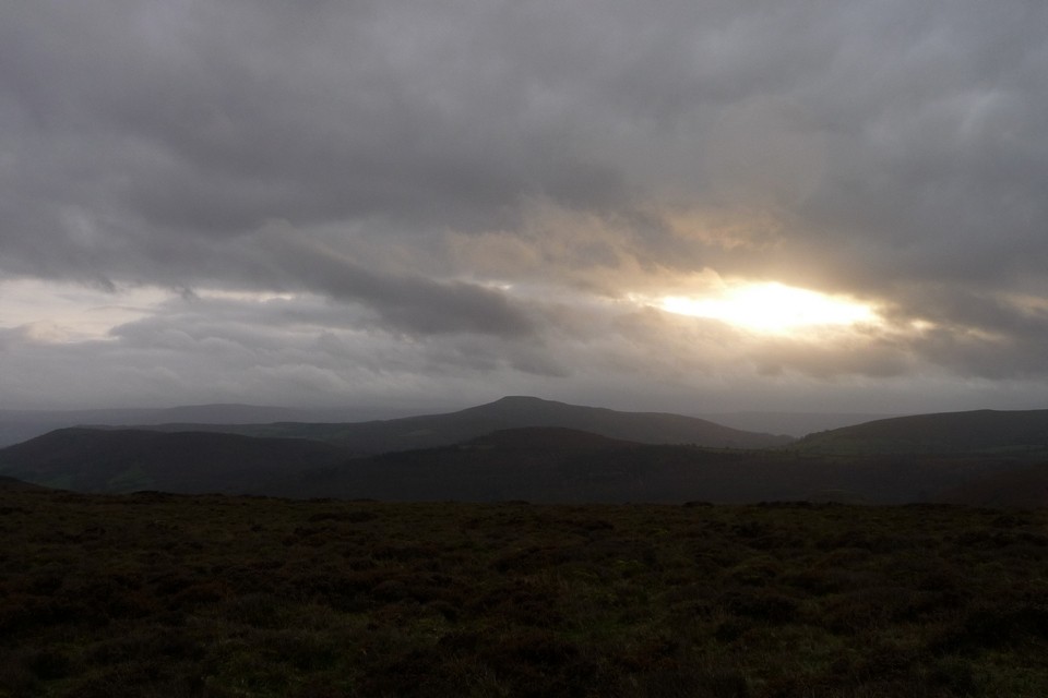
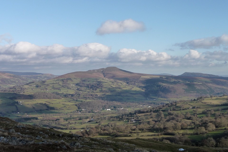
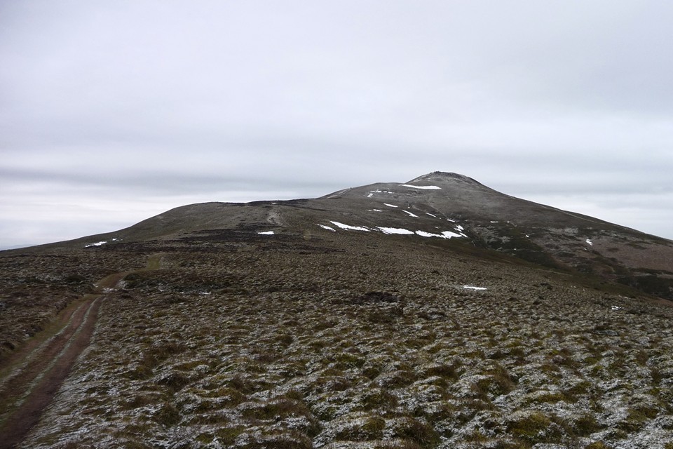
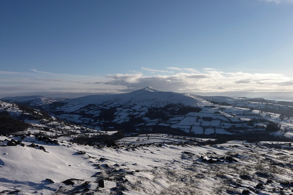
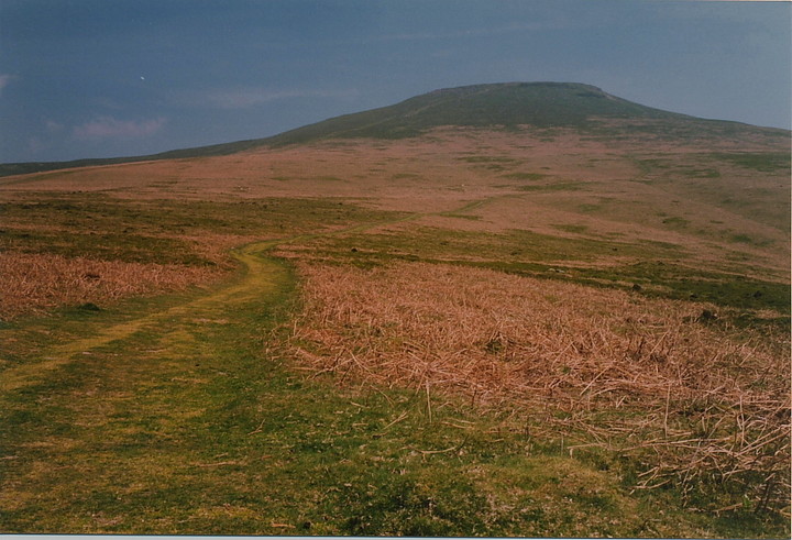
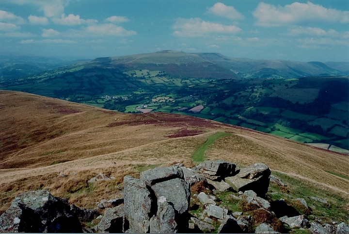
By far the easiest approach is from Abergavenny itself, a busy gateway town, with remnants of a Norman fortress where William de Braose infamously murdered the local Welsh leaders in 1175. King John, in turn, sorted him out and the present day locals appear to hold no grudges to visitors .... although if they knew my mum's maiden name was 'Bray' things might be different! Anyway, a minor road leaves the A40, just past the hospital on the right [heading west out of town], climbing steeply - and rather spectacularly, it has to be said - to a large parking area upon the southern flank of Mynydd Llanwenarth, this boasting superb views across the Usk to neighbouring Blorenge and its massive Bronze Age burial cairn. Hence, clear and obvious paths lead northwards towards the summit of the Sugar Loaf. This should be well within the scope of even occasional trekkers as long as right hand diversions down into Cwm Trosnant are avoided! A final, steep section brings the traveller to the top, crowned by a pristine white OS trig pillar. And most certainly no funerary cairn. Not up here anyway, although they grace many of the summits of The Black Mountains arrayed in splendid ranks to the north. Yeah, despite just failing to reach that 'magic' [in reality purely academic] 2,000ft mark, the Sugar Loaf is one hell of a viewpoint and well worth the effort of climbing purely for the perspective it provides of this corner of Wales, particularly bearing in mind the relatively modest effort involved reaching the top. Ysgyryd Fawr, that sacred-hill-cum-hillfort, is seen to great effect to the east with another hillfort, Crug Hywel, profiled to the north west.
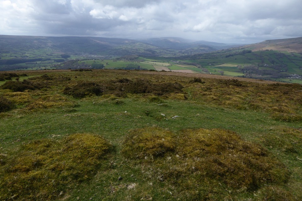
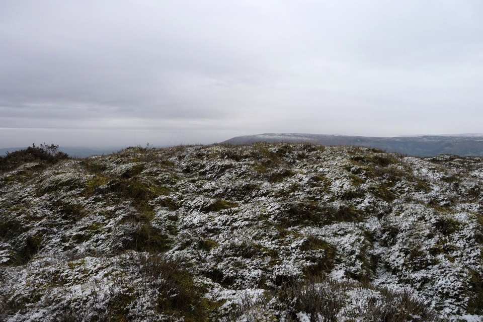
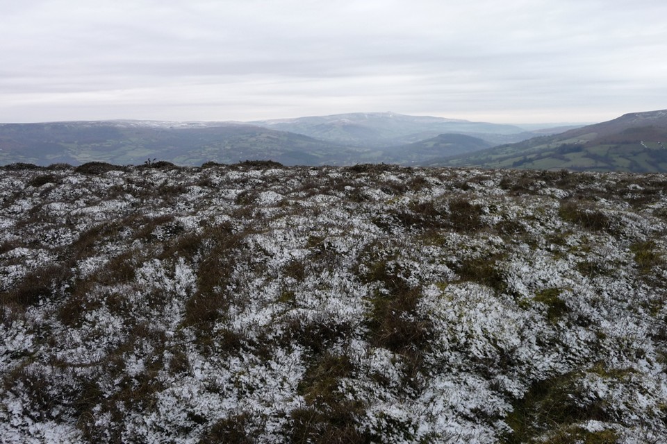
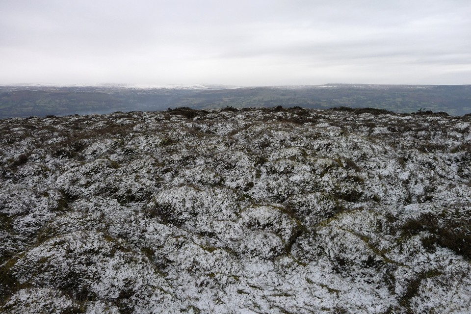
Your average punter can return to the car from whence they came... or - in retrospect the essential route for any TMA-er - the more adventurous may follow the grassy ridge to the west. We choose the latter on a whim and, while passing a couple of cairns nearing the end of the ridge, the Mam C comments that these do indeed look very, er, 'old' to her. Upon checking the map, I reckon not and think that they must be 'walkers' cairns' since this is such a popular peak (ha!). We consequently don't linger, but swing southwards before descending sharply eastwards to pick up a track back to the car.
So ends a brilliant day, but one with an unexpected, if somewhat embarrassing, yet very welcome twist for the old stone hunter. Subsequent checking of Coflein records confirm that the Mam was indeed right. Sugar Loaf has its funerary cairns after all....
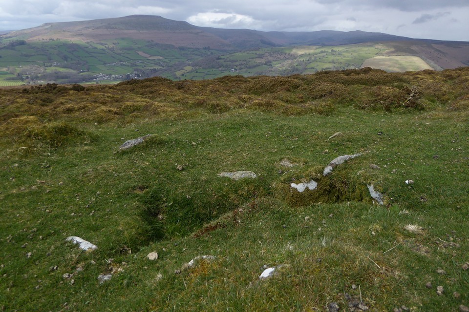
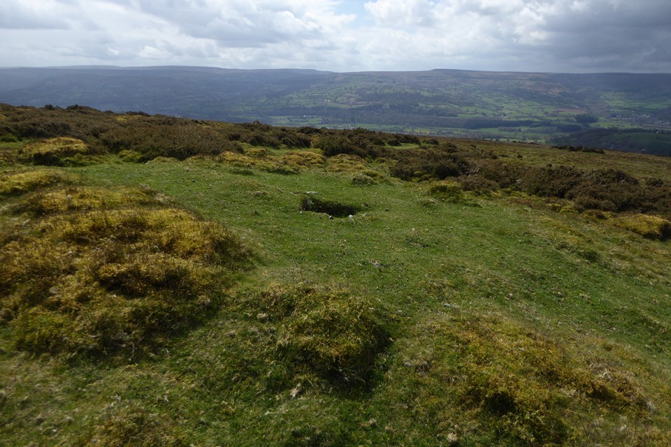
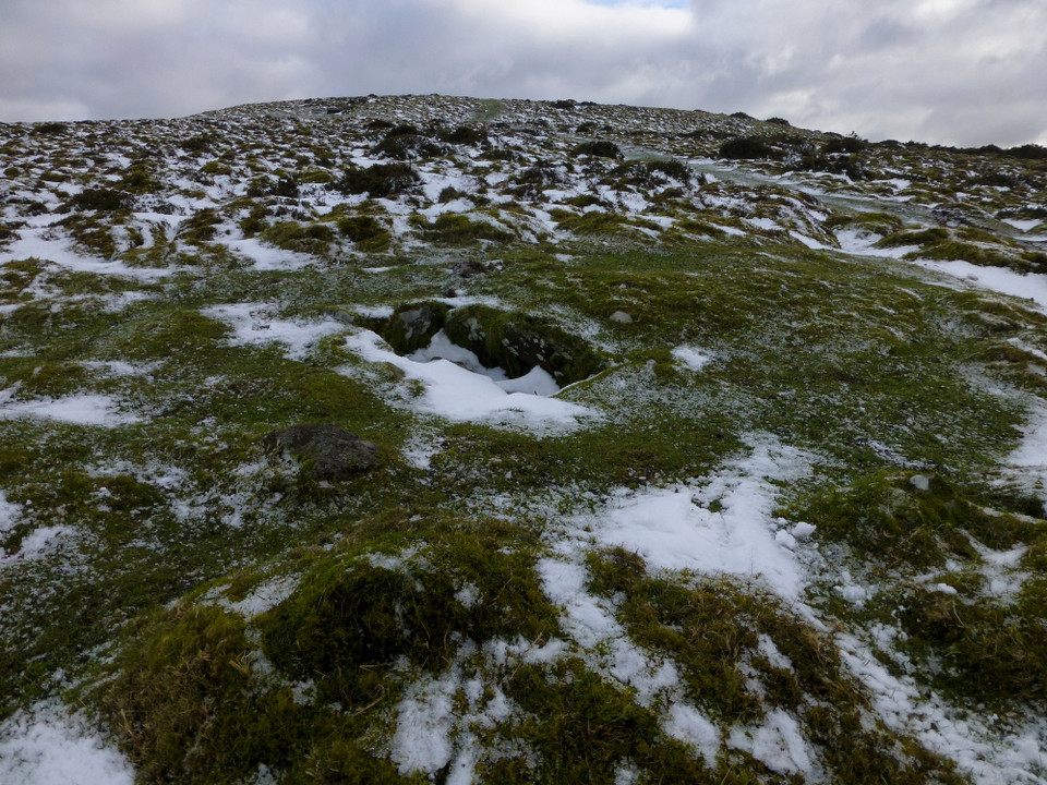
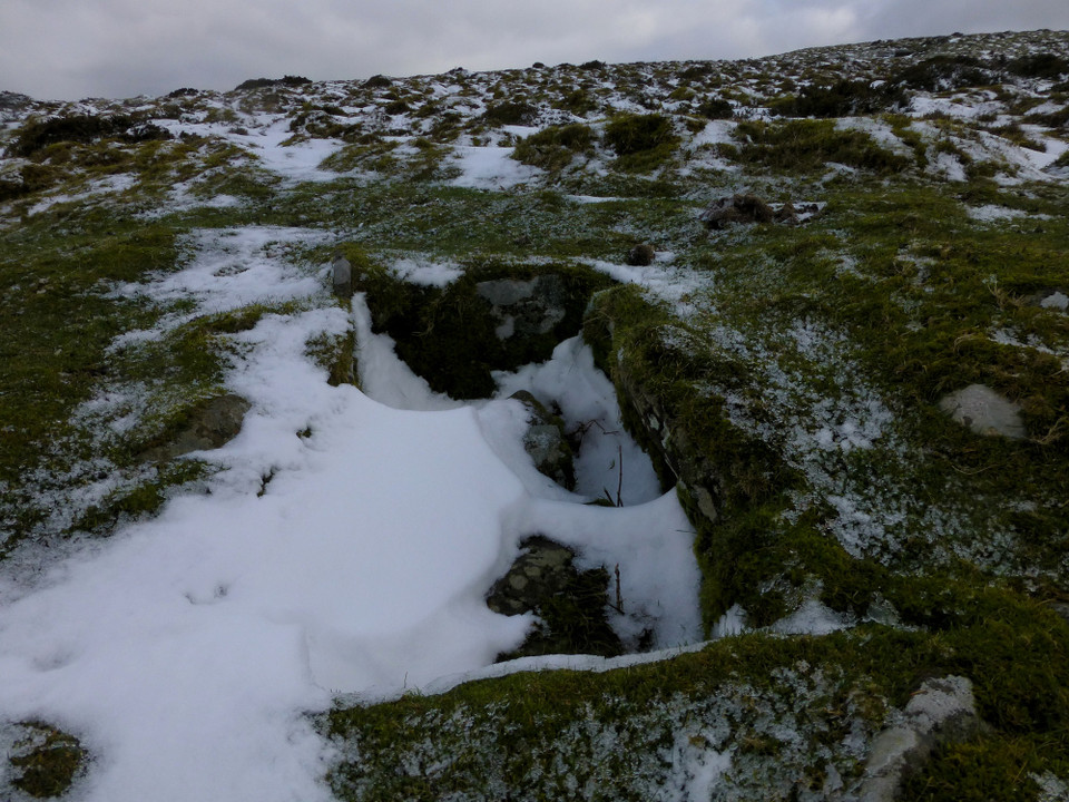
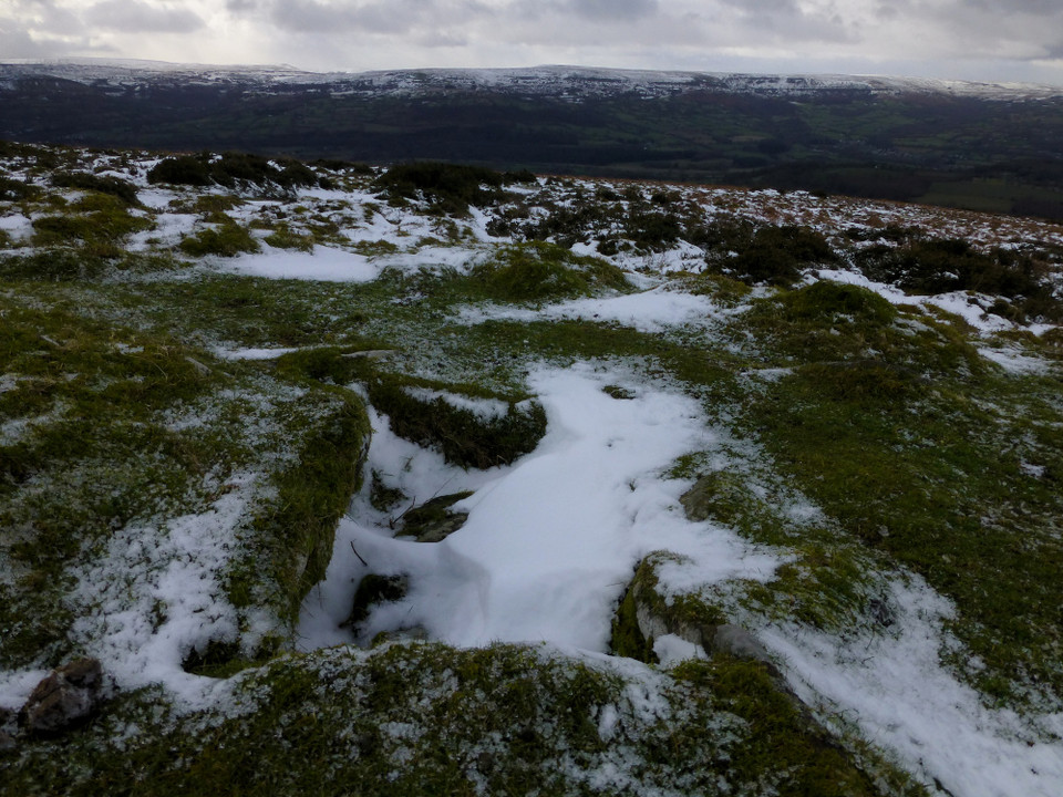
A Bronze Age funerary cairn upon the western ridge of Mynydd Pen-y-Fal, the mountain more usually known locally as the 'Sugar Loaf' due to the profile it presents to Abergavenny. Having never seen such a loaf I'm afraid I couldn't possibly comment....
Coflein has the following to say:
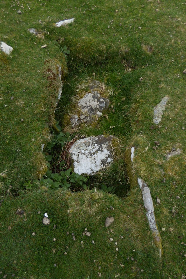
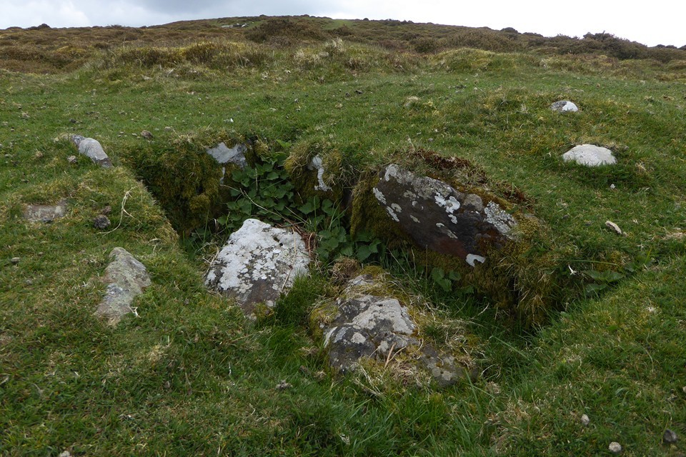
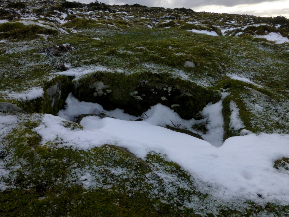
"Remains of two burial cairns....on the west-facing slopes of Mynydd Pen-y-fal. The westernmost cairn" - this one - "is situated downslope of the first. It is roughly circular on plan and measures about 8.5m in diameter and up to 0.5m in height. A stone built cist is visible within the centre of the cairn, measuring 1.35m from north-east to south-west by 0.6m transversely and about 0.5m in depth. Source: Cadw scheduling description of 02.2006 F.Foster/RCAHMW 03.2006"


 Posted by thesweetcheat
 Posted by GLADMAN