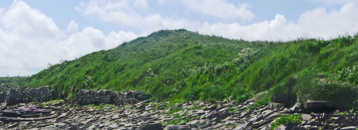
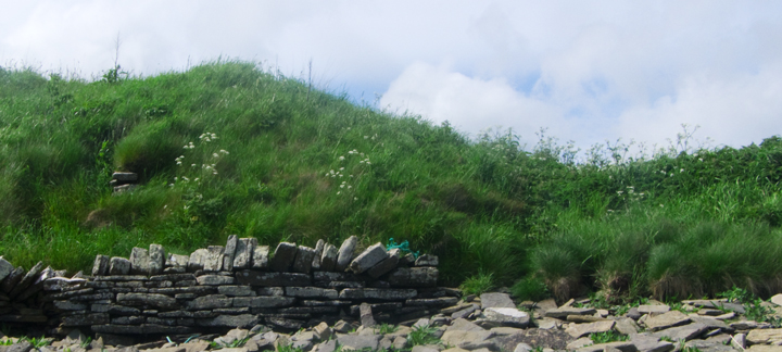
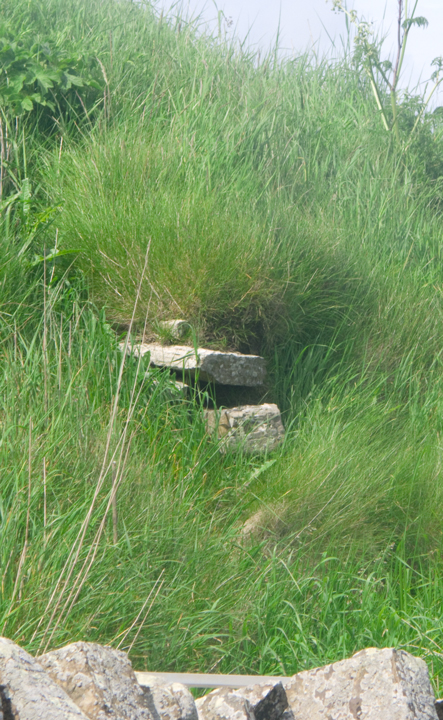
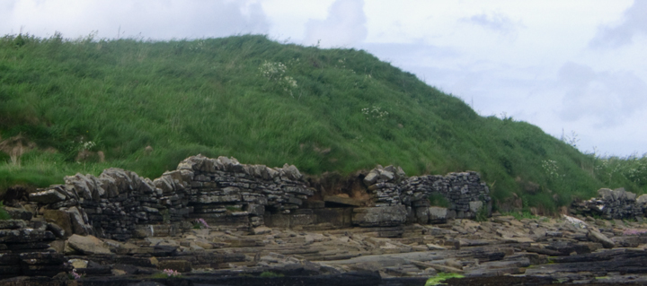
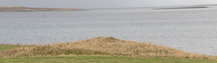
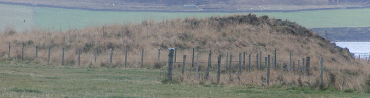
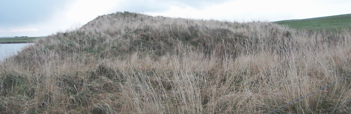
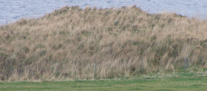
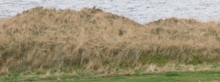
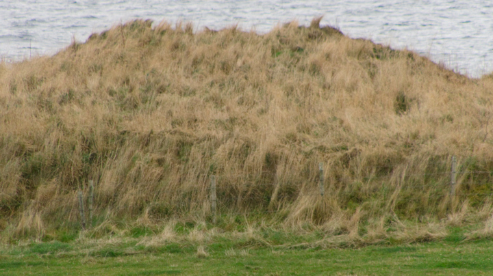
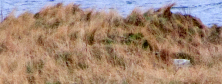
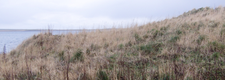
At the south end of the Gorseness road is the sign for the Rendall Doocot. Follow the signs to this and the Knowe of Dishero 'mound enclosure' can be seen on the coast from the track that runs from the Hall of Rendall to the South Ettit graveyard [the slabs by a water trough are froman empty cist excavated in 1969]. The site has a new fence around it and no easy access evident - if there had been more time I would have snuck under as there looks to be no ground-level wire. Coming from the end facing the 1738 kiryard I can make out one big broad stone about halfway up that looks to be in a depression I think lies just outside the broch tower. On the side facing the old manse is a broad ditch that seems quite deep and heads for the cliff-edge. It is from this direction that you can make out the various levels i.e. the ditch, the outer broch, and the broch tower [possibly a fourth can be made out]. From here through the clifftop undergrowth you can see what looks to be a mix betwen a sea-wall and a structure back against the cliff, age unknown.
On the 1st 25" O.S. several slopes are shown. On it the site aligns NE/SW, with at the eastern side a rectilinear half (having a sub-rectangular pit [or perhaps stone] at right angles to the longer side half-way along), at the western side an arc of the same length, and at the northern side two arcs of almost similar sizes (the west one less curved) with a gap between them due north. The RCAHMS NMRS record no. HY41NW 6 describes a broch tower of internal diameter nearly 30' having a 19'6" long section of inner wall-face visible on the west side to a height of some 4'6" with an opening of over 2'6" blocked up in modern times. Inside the east ditch it mentions faint traces of the outer broch wall. The rectilnear half makes me wonder if it hasn't been re-used by the Vikings, like Castle Howe in Holm.