Bit of personal history here... since the Mam C first settled in South Wales, at nearby Eglwys-Brewis, some 26 years ago. More or less. How time flies, eh? She's moved on since then - in more ways than one (ha!) - but perhaps a quarter of a century is too long to wait before finally checking out the Summerhouse Camp... so thanks, Carl, for the prompt. Although, as usual, low cloud over the mountains ensures today is the day.
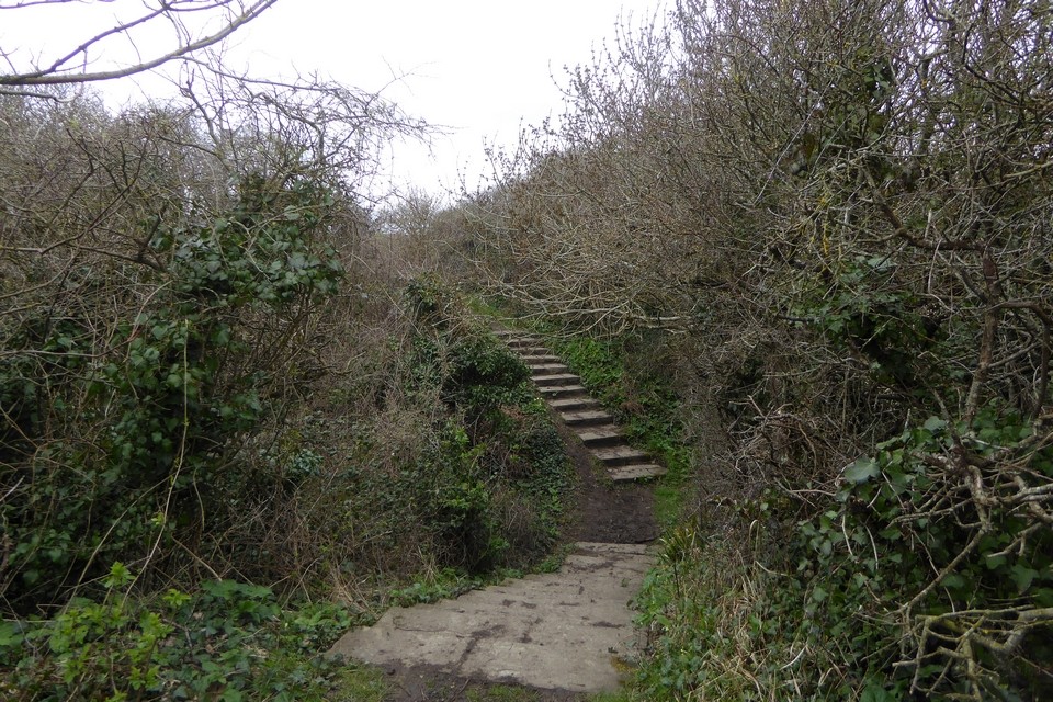
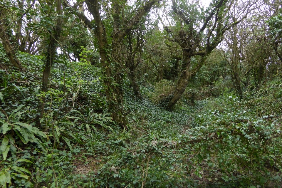
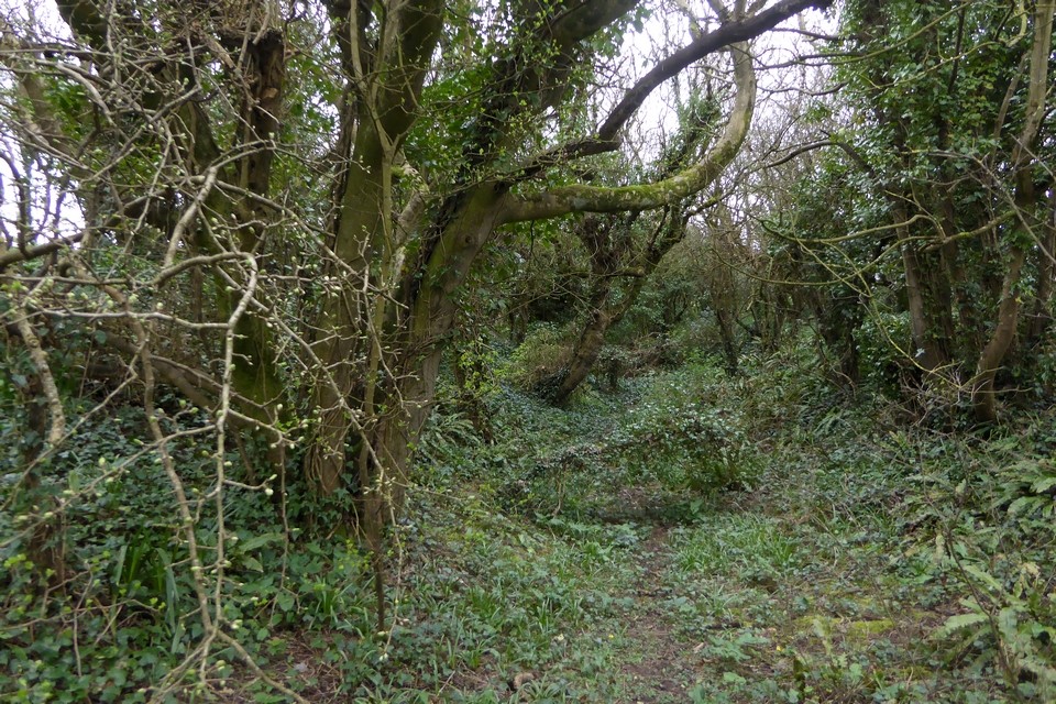
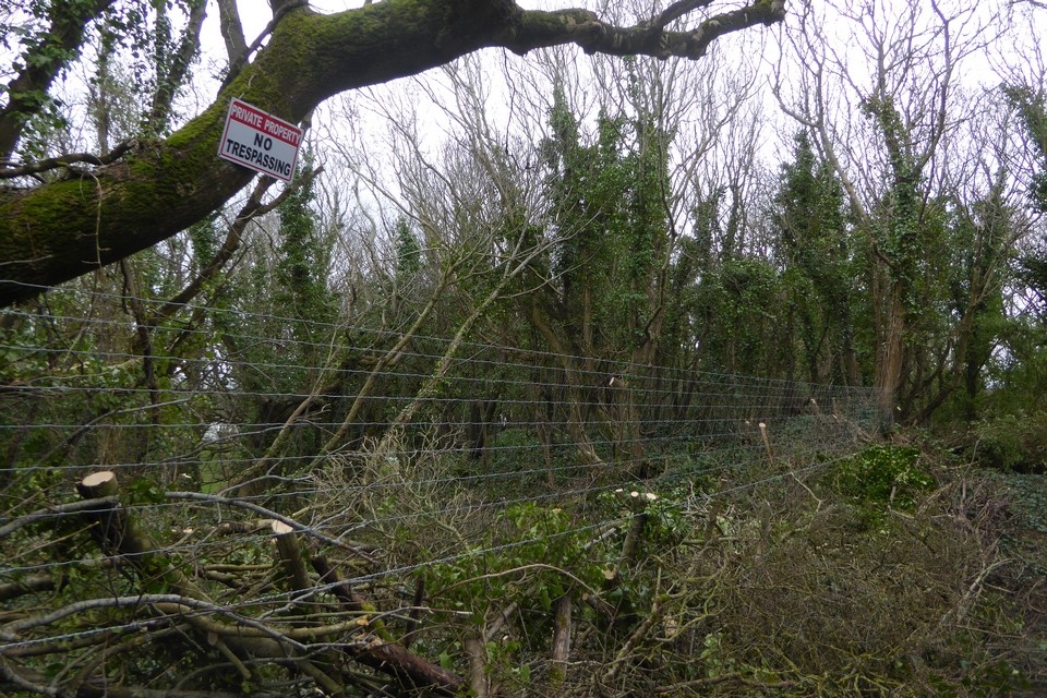
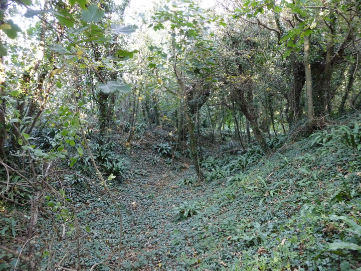
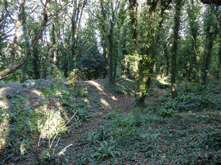
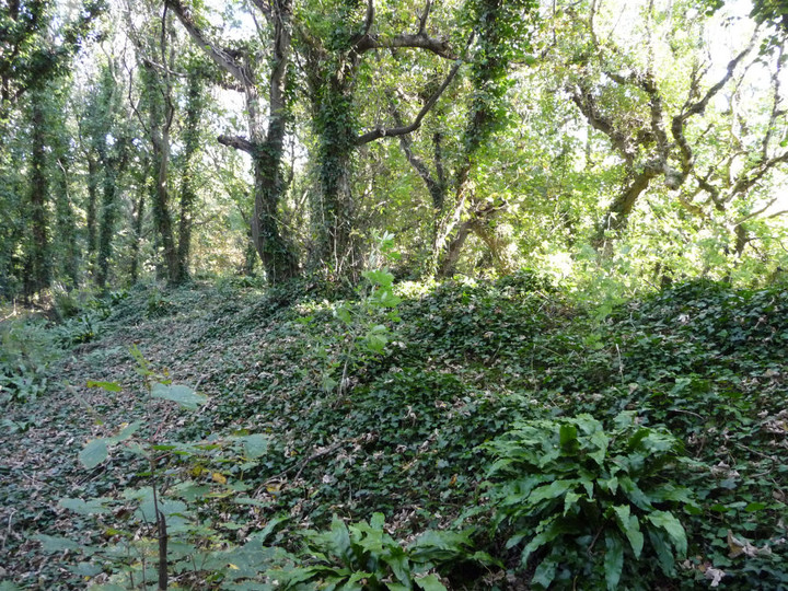
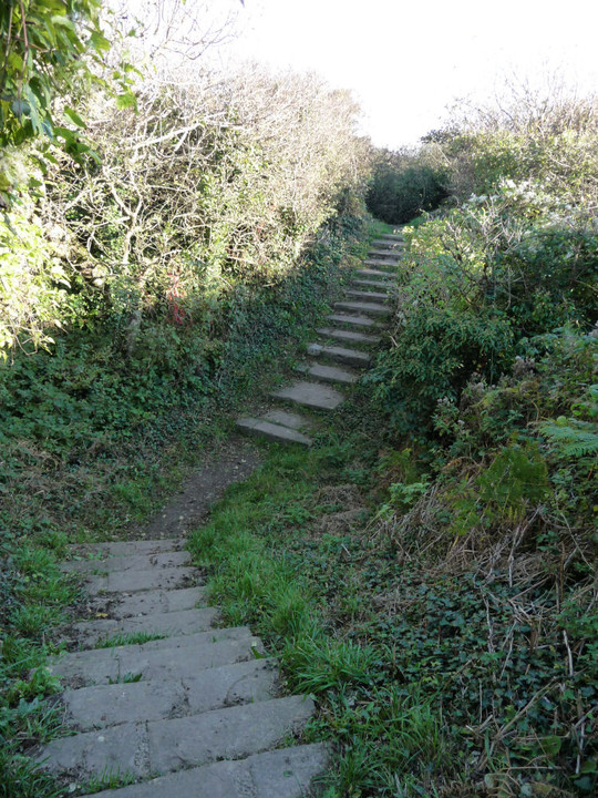
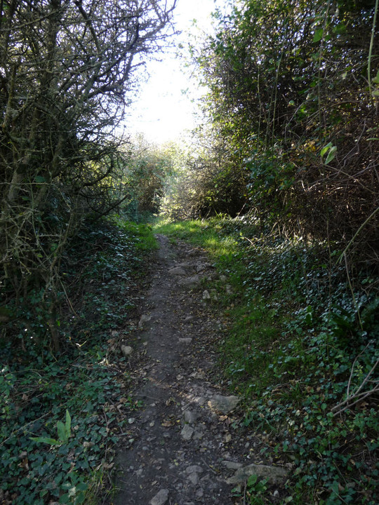
The little village of Boverton, complete with ruined, ivy-clad 'palace', adjoins the eastern end of Llantwit Major. Follow the minor road south-eastwards towards Boverton Mill Farm, from where a very rough - but nevertheless driveable - track leads to a parking area near trees. Beyond, my old 1:25K OS map depicts a 'Christian Centre', the realisiation of this fact inducing horror in this traveller. What could well be described as an 'utterly redundant sign' warns one to keep out. Ha! Who in their right mind would wish to venture further? Love thy neighbour, eh? But enough of such absurdities... a muddy track leads into the trees and in a short while massive earthworks suddenly materialise from the undergrowth. Note the plural, too, for I count three ramparts and ditches, the tri-vallate nature of the defences later confirmed by our friends at Coflein:
....'A strongly defended site, set on the E end of a spur between a defile to the N and an eroding cliff-line on the S. A subrectangular inner enclosure, c.60m WNW-ESE, defined by a bank and ditch, is set within a similar, larger enclosure, c.126m WNW-ESE, defined by triple ramparts and ditches. There is a possible annex, c.52m WNW-ESE, on the E. The whole complex is cut by the E-W cliffs, being from c.82-46m N-S....'
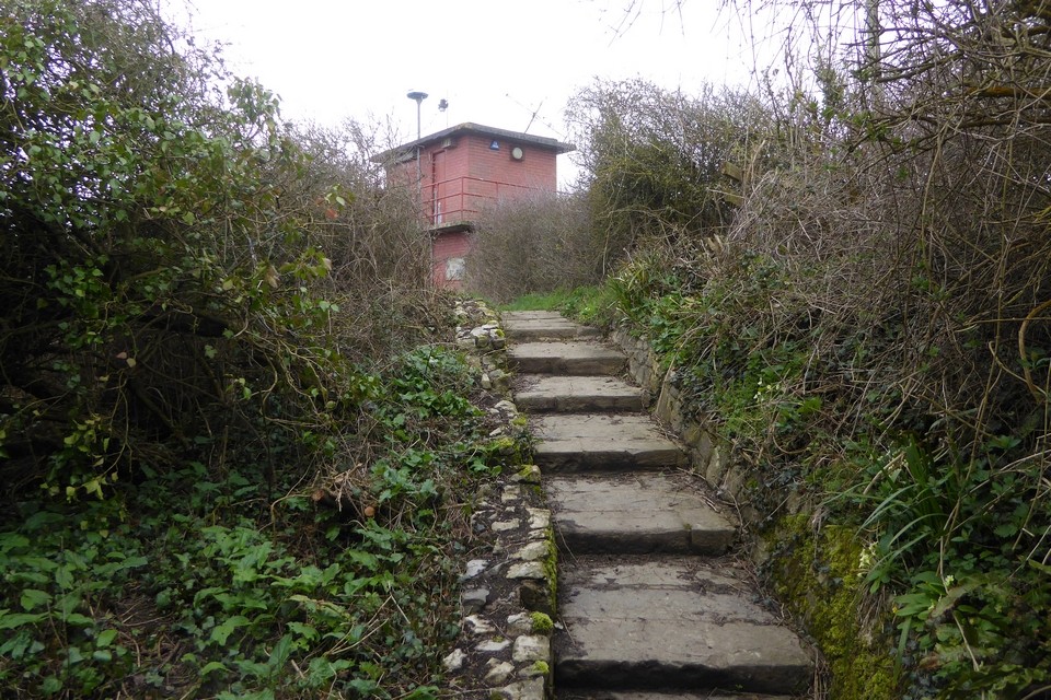
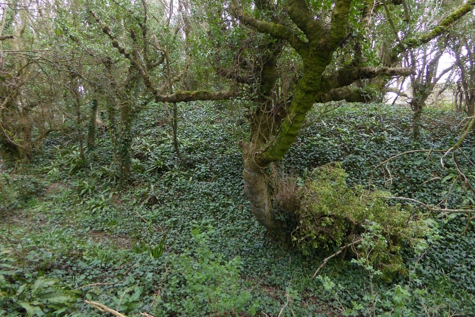
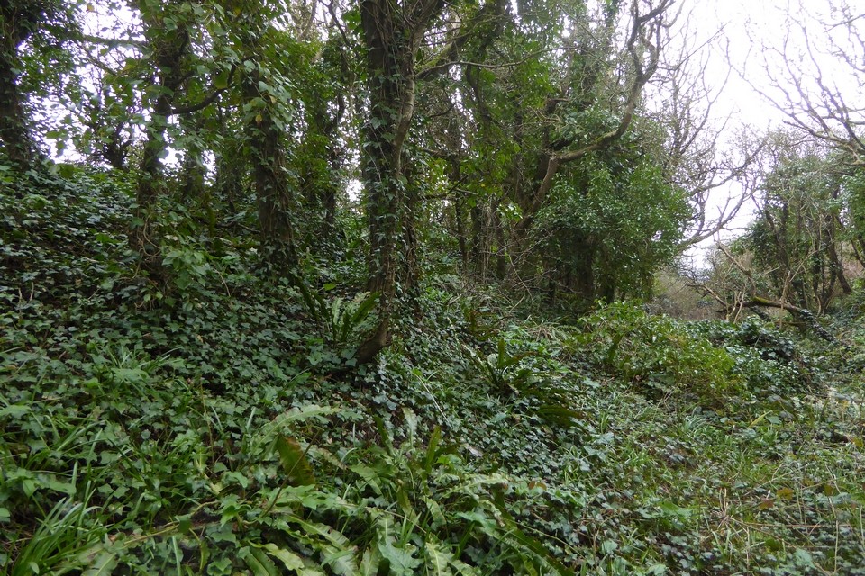
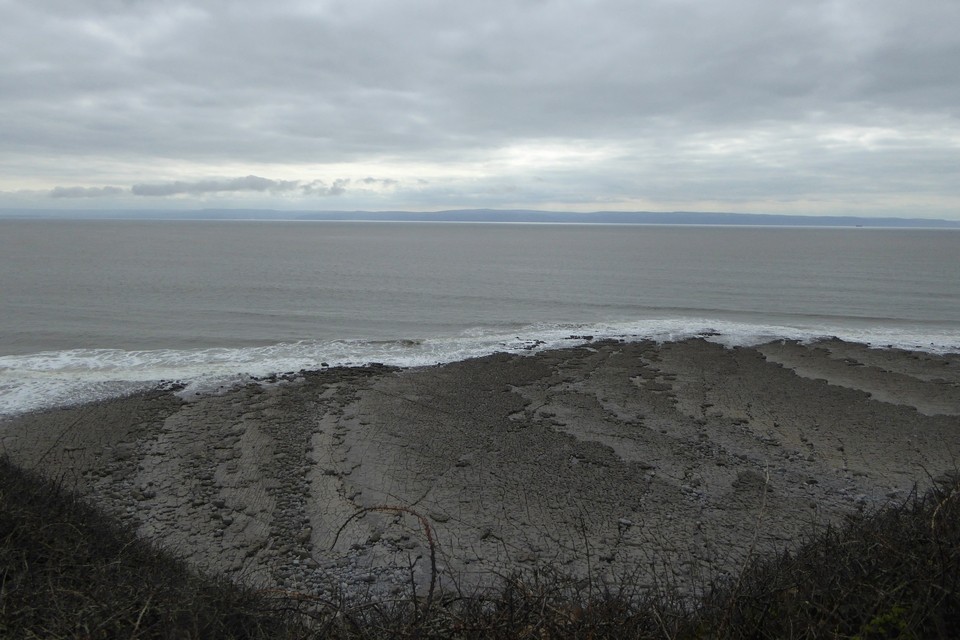
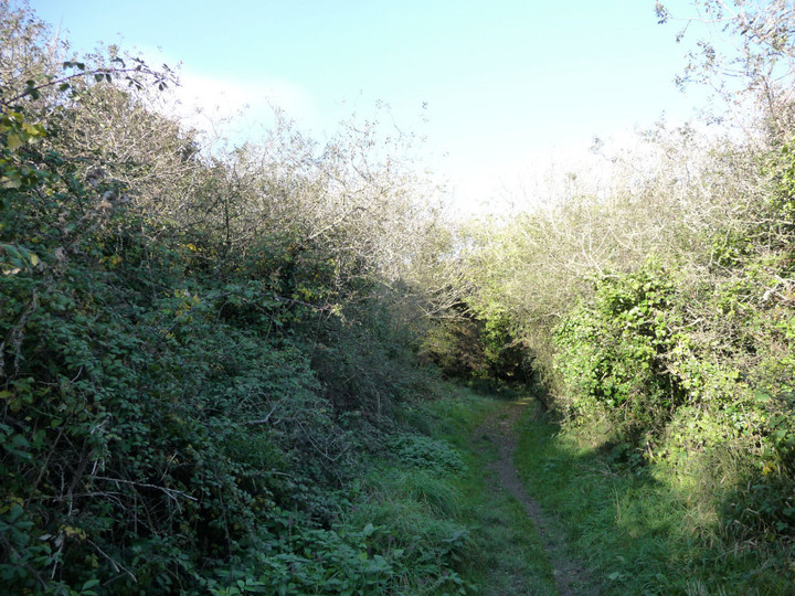
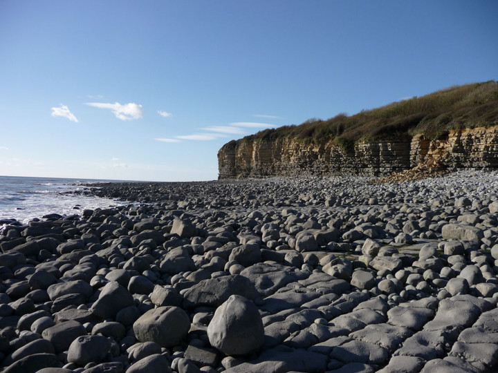
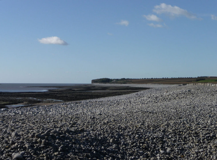
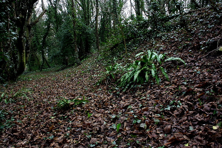
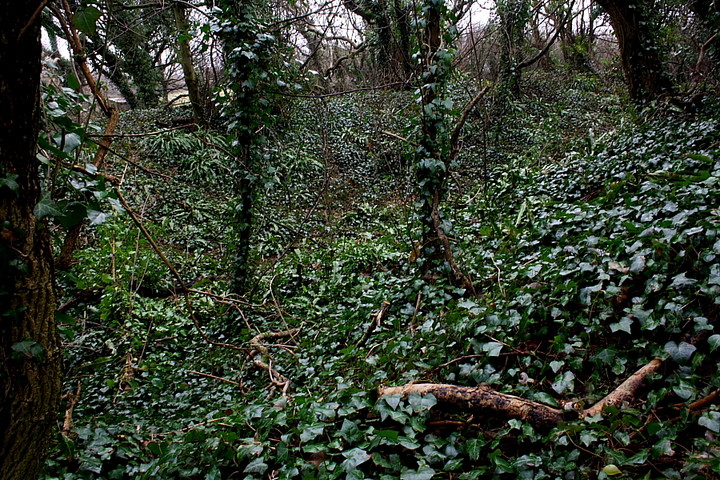
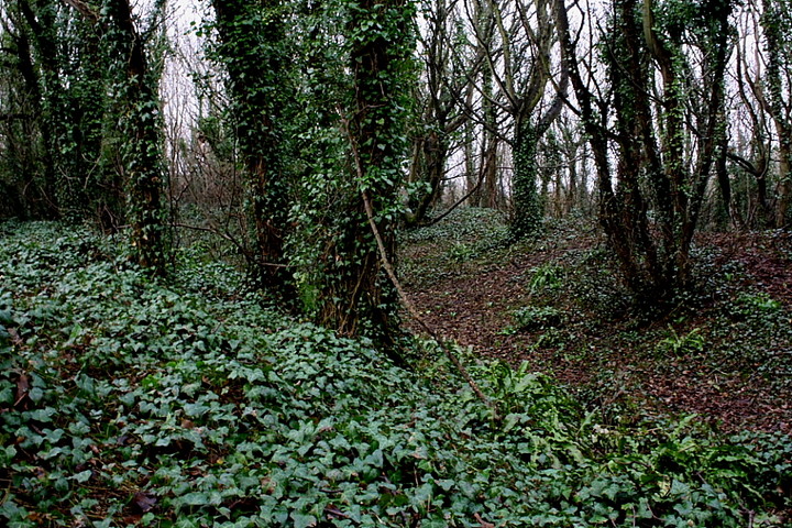
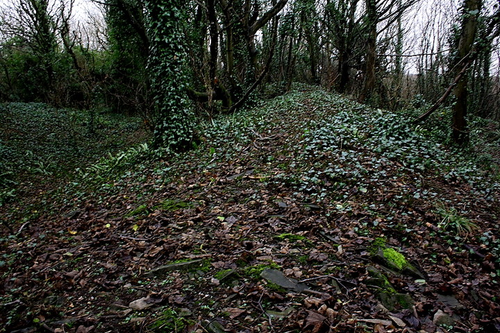
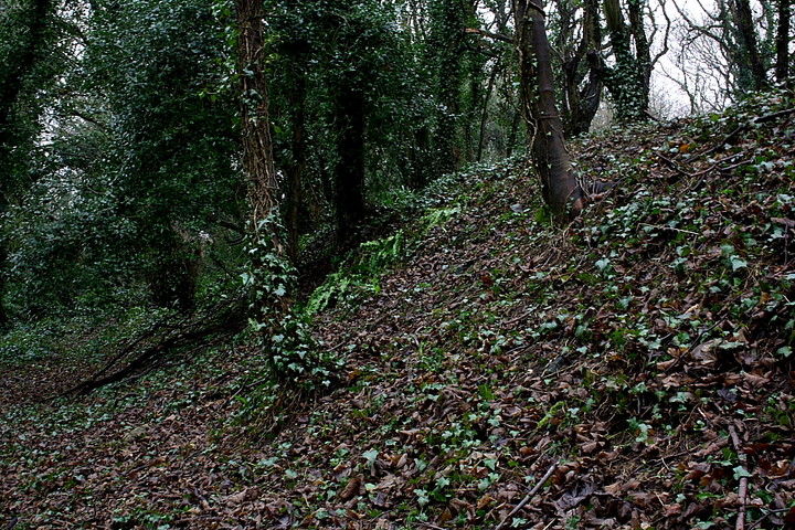
True, the site is completely overgrown. However the ramparts are substantial and 'walkable' (I use the term figuratively, you understand) for the most part, the sound of breakers when approaching the southern extremity of the fort instructive. Yeah, Summerhouse Camp is a promontory fort, the Glamorgan coastline terminating in a characteristic cliff-line and therefore forming a natural defence at this point. A footpath along the cliff-top links the semi-circular defences and also provides access to a 'Seawatch Centre'.. where you presumably 'watch the sea'. And why not? I can think of many worse things to do.
Summerhouse Camp is named after a C18th 'summerhouse' standing within the inner enclosure... funny, that. To be honest I struggle to make out the form of the latter, but there you are. Strip away the foliage and - arguably - this fine, powerful promontory fort would lose much of its charm and vibe. I think so, anyway. Another, larger enclosure sits upon the coast to the west at Cul-how point (Castle Ditches). However that must wait for another day, as I've put my trust in the forecasters and am off to the hills......
I visited this site last summer and was pleasantly surprised how well preserved the banks/ditches were. I have visited several Promontory Forts along the South Wales coast and I would say this is the best preserved. Between Llantwit Major and St Athan along the B4265 you come to the village of Boverton. From here take the lane south towards Summerhouse Point Seawatch Centre. Follow the very bumpy lane as far south as you can (passing a farm on your right) and the lane ends with a small place to park.
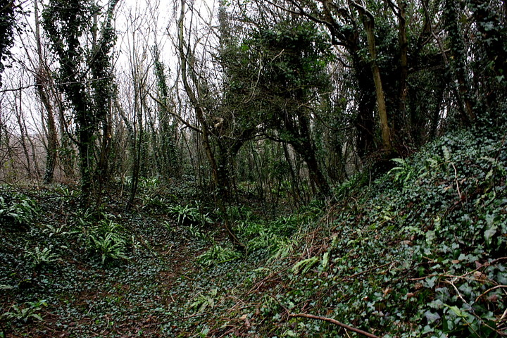
Over the gate and follow the track south, through the trees. You will soon come across the Summerhouse ruins which were built in 1730 – worth a look around. You will then see the two small ditches / ramparts of the Promontory Fort. If memory serves me right the ditches are about 1 metre deep. There is not much of a view now due to the trees but I am sure things would have been different in earlier times.
This site is worth a visit when in the area.

 Posted by GLADMAN