These are the easiest directions to this place. As for me I cycled from Stranog. From Milltimber take the B979, south and over the Dee, then go west on the B9077 taking the first minor road south. Take the next minor road south, very narrow, pulling in immediately after Durris forest. Plenty of room for cars and bikes as this is a stables. I asked permission to leave my stuff.
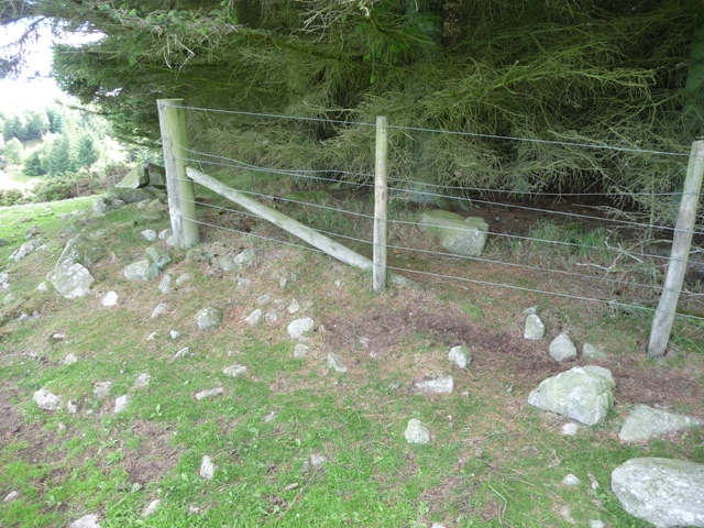
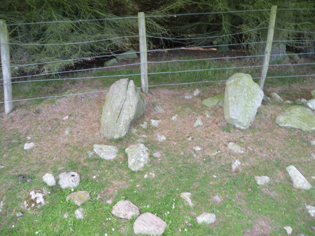
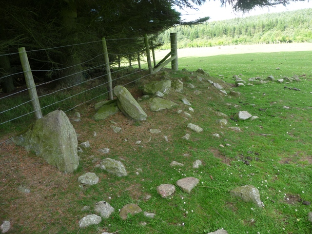
From there head south following the tree line past a pile of field clearance, probably most the cairn has been dumped here, to the top of the hill. The cairn is at the forest's most eastern point. One half, the east side, of the cairn has been flattened whilst the other half has fir trees growing on top of it. However some of the boulder kerbs remain in place. With the stone scattering it is fairly easy to make out the cairns diameter, 14 meters. The western half of the cairn still stands at just over 1/2 meter. With that it was back down the hill accompanied by some interested horses.