The Modern Antiquarian. Stone Circles, Ancient Sites, Neolithic Monuments, Ancient Monuments, Prehistoric Sites, Megalithic MysteriesThe Modern Antiquarian


Castle Hill (Maud)

Cairn(s)

<b>Castle Hill (Maud)</b>Posted by drewbhoyImage © drew/amj
Nearest Town:Ellon (16km SSE)
OS Ref (GB):   NJ94554650 / Sheet: 30
Latitude:57° 30' 31.41" N
Longitude:   2° 5' 27.49" W

Added by drewbhoy


Discussion Topics0 discussions
Start a topic


Show map   (inline Google Map)

Images (click to view fullsize)

Add an image Add an image
<b>Castle Hill (Maud)</b>Posted by drewbhoy <b>Castle Hill (Maud)</b>Posted by drewbhoy <b>Castle Hill (Maud)</b>Posted by drewbhoy <b>Castle Hill (Maud)</b>Posted by drewbhoy <b>Castle Hill (Maud)</b>Posted by drewbhoy <b>Castle Hill (Maud)</b>Posted by drewbhoy

Fieldnotes

Add fieldnotes Add fieldnotes
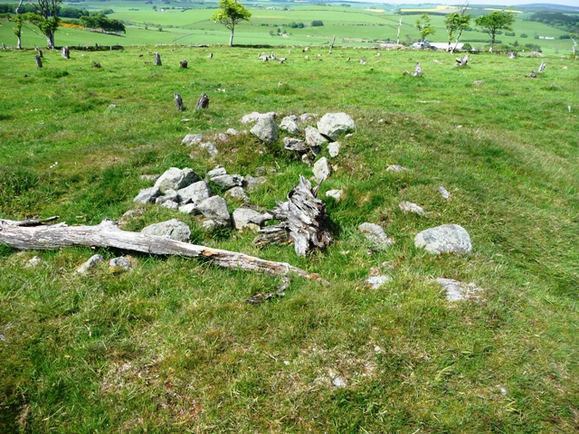
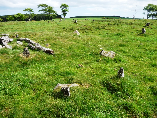
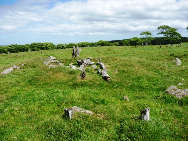
Canmore report that two nearby cairns were destroyed during the 1850s on the top of North Kirkhill. Surprisingly they somehow missed this one. If they didn't they've called it a different name for something on the same hill.

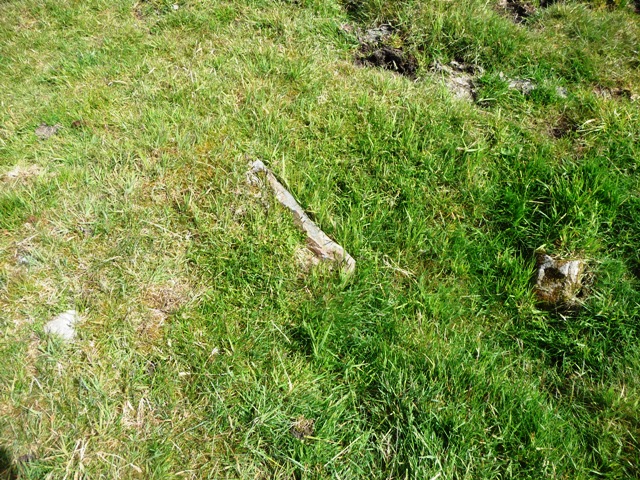
Anyway 5 kerbs remain in place. The cairn is almost 12 meters in width and at its highest would be 1 meter tall. Excavations or hollowing has occurred but it definitely still exists.

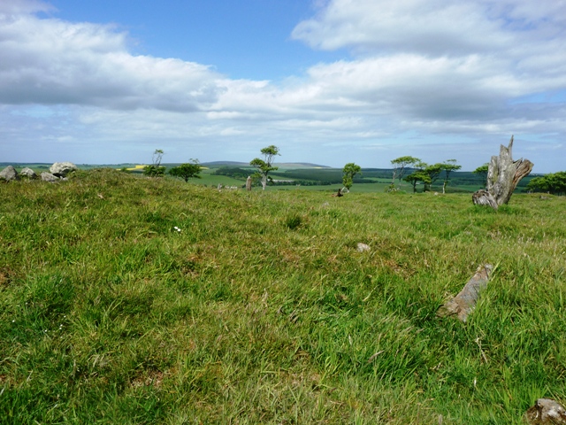
Leave Maud heading east on the B9029 taking the second minor road to lead south. Go past Benwells, scene of a destroyed cairn and possibly a circle, and pull in at the next farm track. (to Clackriach farm) The cairn is on top of the hill to the east. A short climb of a 1/4 mile. It was wonderful and warm today for a change! On the next hill east is Aikey Brae RSC.

Worth a look!

Visited 2/06/2010.
drewbhoy Posted by drewbhoy
2nd June 2010ce