An easy cairn to find on my way back home from Fraserburgh, Broch in these parts. Leave fraserburgh heading east on the B9031, take the first minor road east before Sandhaven.
Follow this minor road for two miles. The cairn is situated to the left side of the road just before the small village of Peathill.
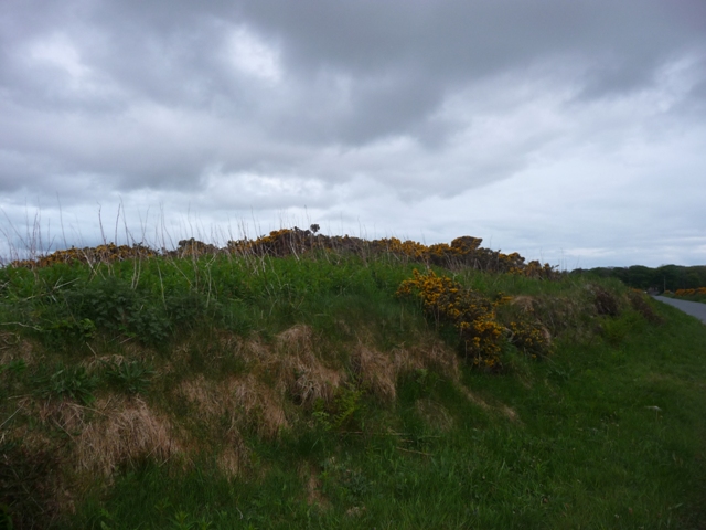
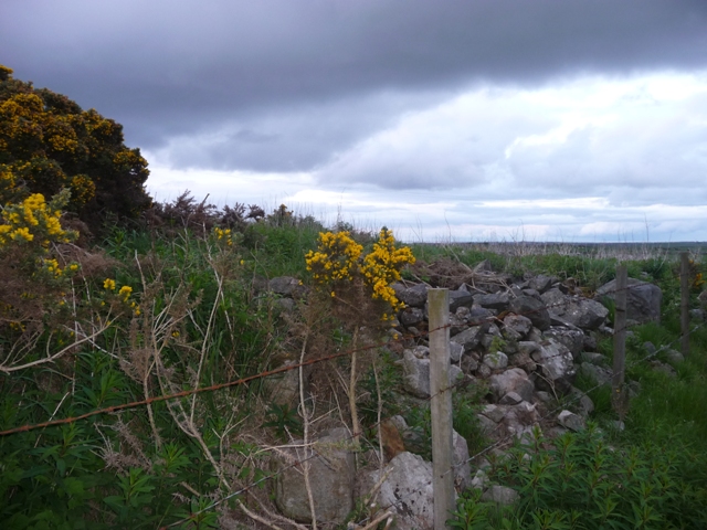
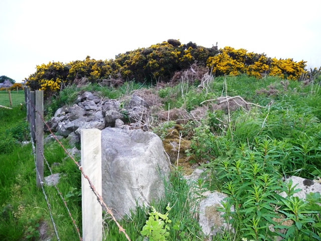
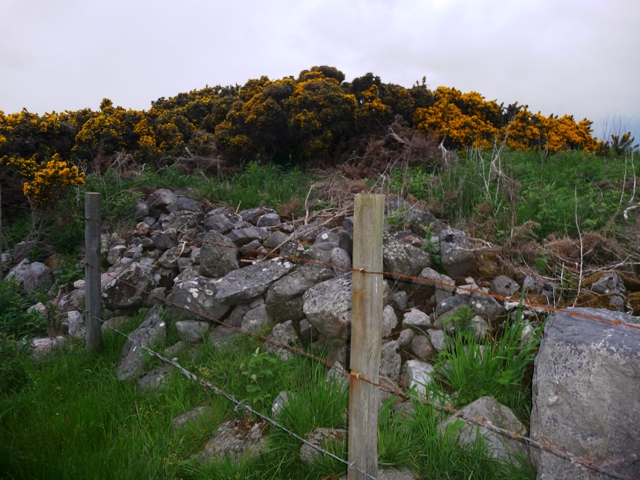
Canmore tells us that the cairn is 26 meters north to south, 24 meters east to west. All that is left is a badly shaped ruin which in it's day must have been hugh. Sadly the cairn has been robbed of most of its stones going by the amount of dry stane dykes in the area, tho many stones can be seen on the western edges. In 1785 a cist had been found. The marks of this excavation or perhaps quarrying can be seen with a large hollow in the middle of the cairn.
The road, B9031, leads back to the B9032 which in turn leads to the cliff forts at Dundarg (near New Aberdour), Cullykhan/Fort Fiddes (near Pennan) and eventually Cleaved Head (near Macduff). Be warned this road is a coastal route steep braes and nasty corners. Beautiful coastline tho but take care!