Visited 23.10.10
I parked in the large free car park in the village of Ystradfellte and headed up the road/track which runs directly from the car park, uphill towards Tyle farm. You will shortly come to a turning right towards the farm, but keeping walking straight up the hill. The track now becomes rougher and you go through two metal gates. After the second gate you come out onto open moor land. When you get to the brow of the hill look ahead, a bit to the left, and you will see the rocky outcrop where Gelli-Nedd Hillfort stands.
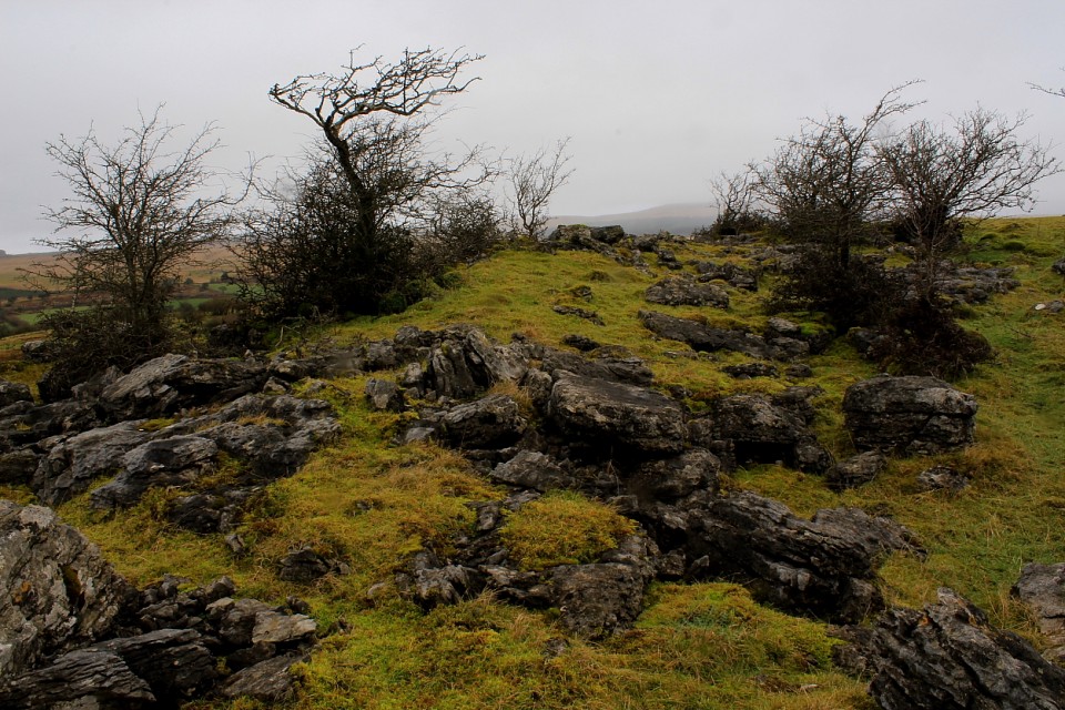
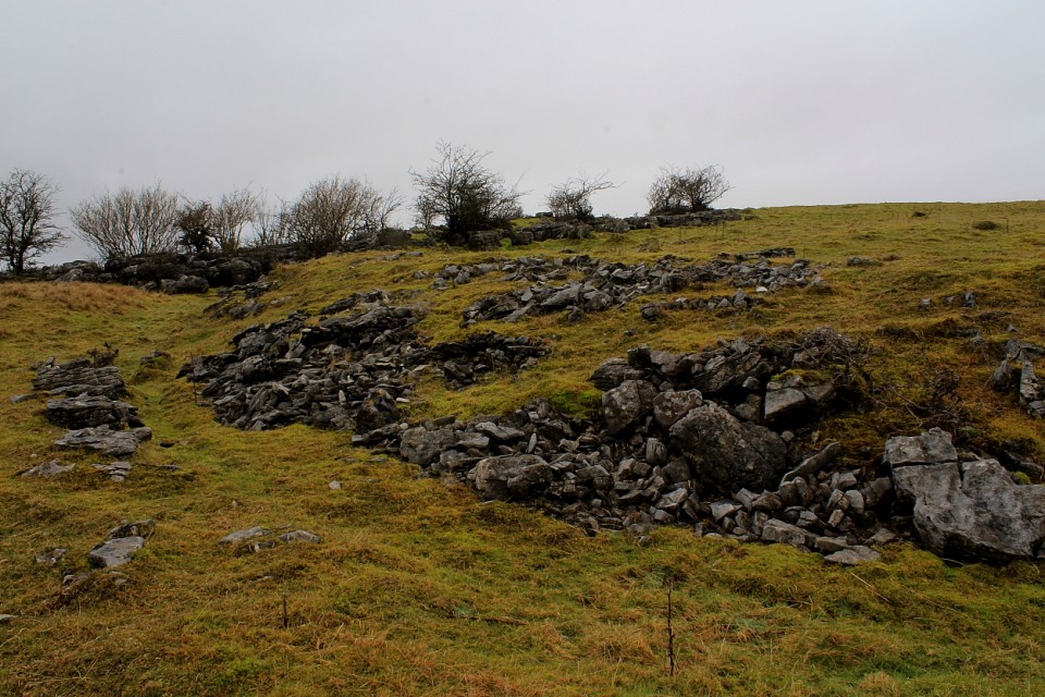
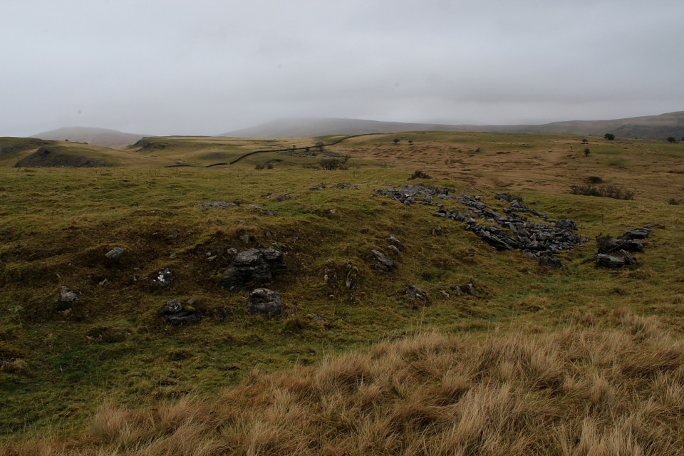
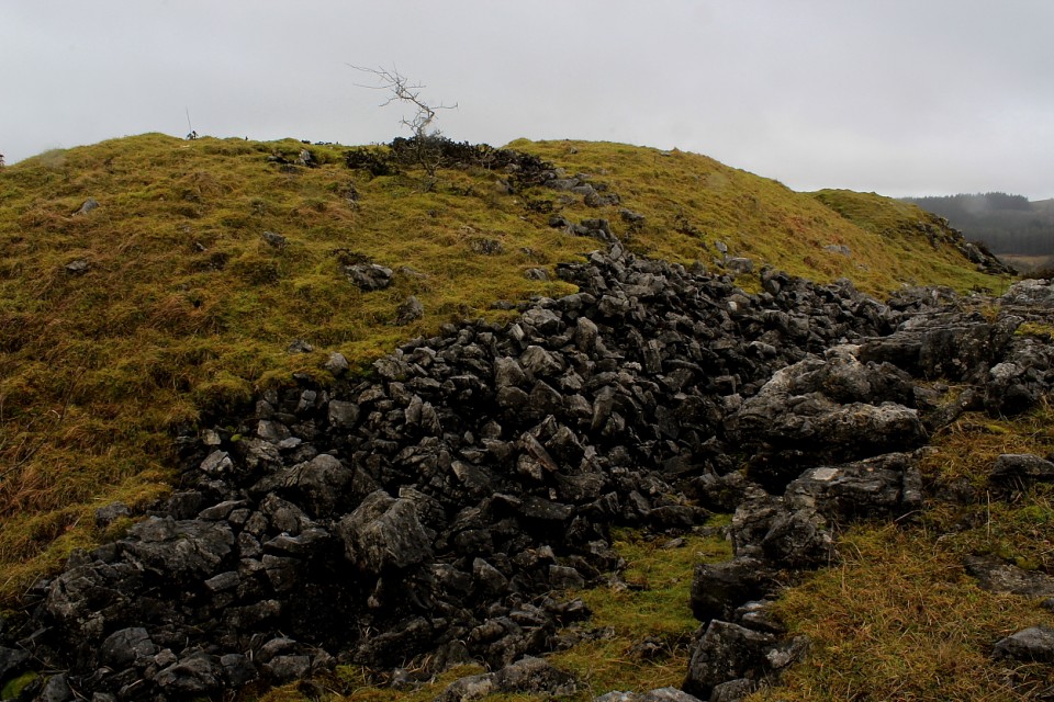
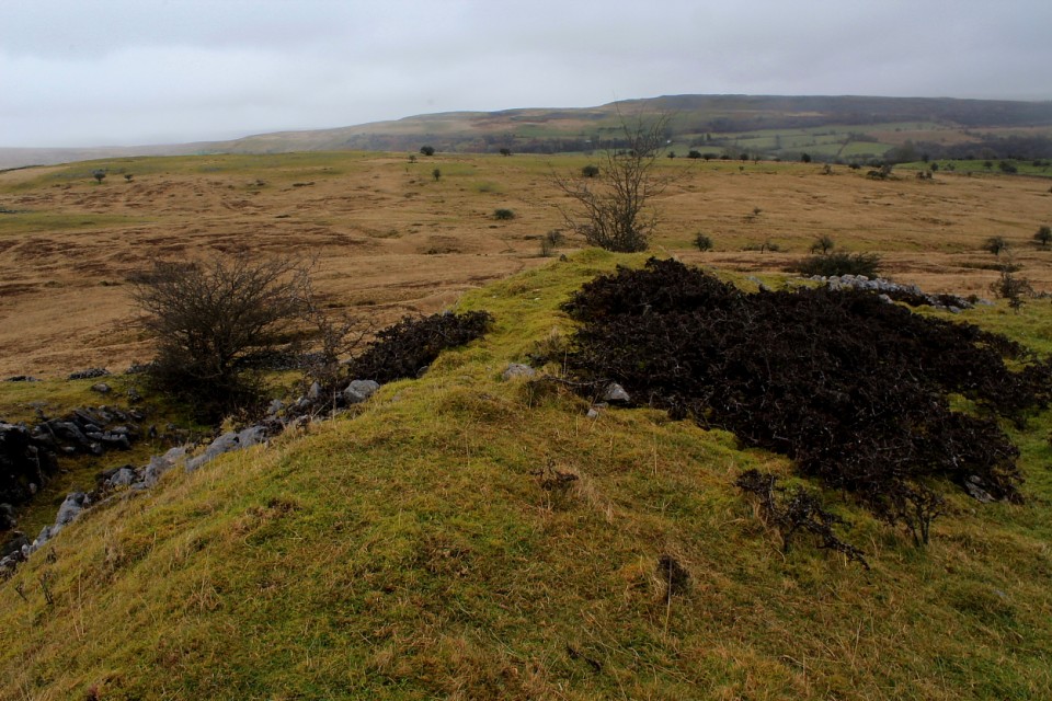
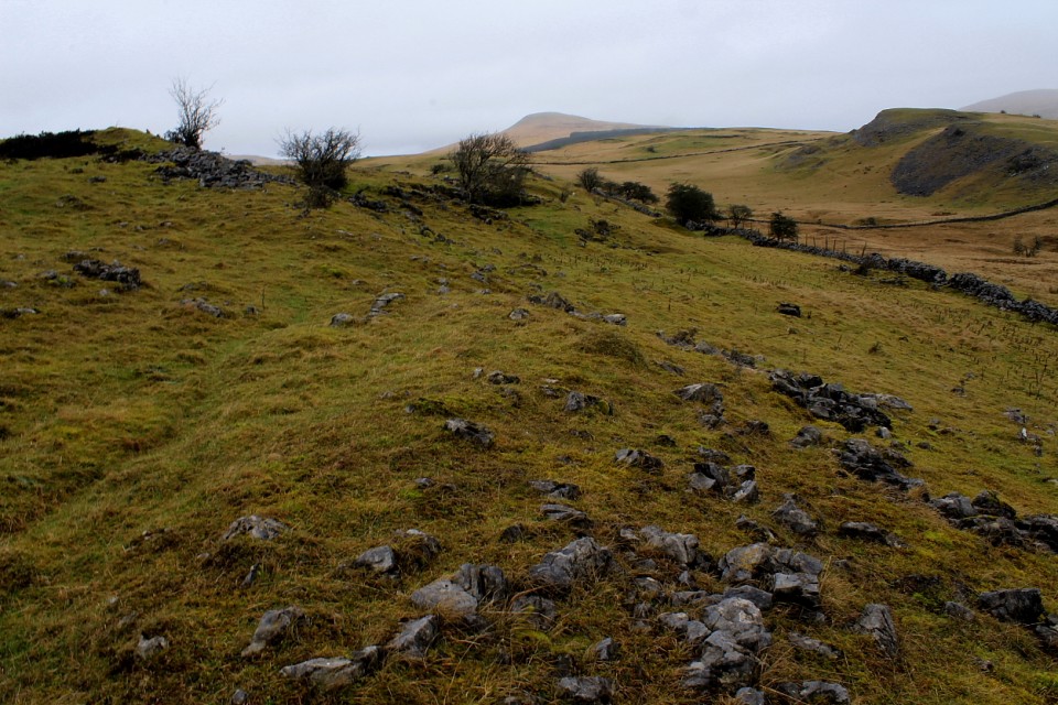
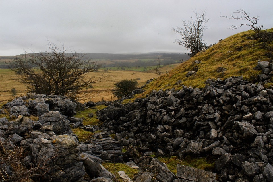
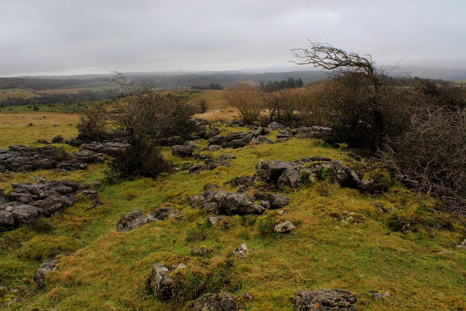
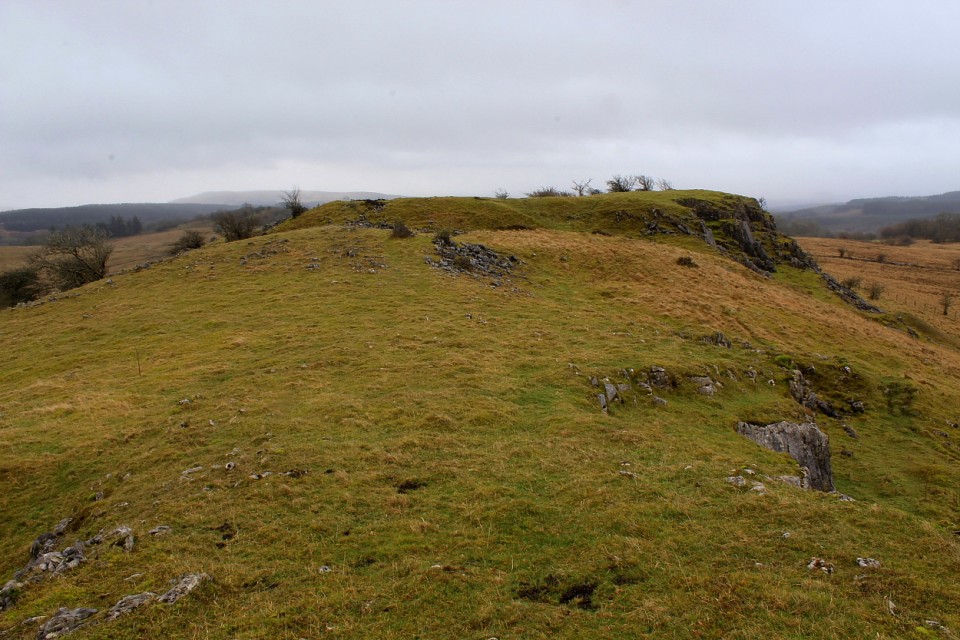
There is no path to follow, just make your way across the boggy ground as best you can. At the foot of the rocky outcrop you have to climb over a fence – it's not in very good condition so it is fairly easy to get over. Head for the left hand side of the outcrop and you will see the fairly deep rock cut ditch and the remains of the fallen stone ramparts. (If you look at the stonework in the field wall you just climbed over you will see the stones look remarkably similar!) The defences of the Hillfort seem to consist of stone walls and vertical cliffs. There are decent views from the top.
It takes 30 minutes to walk from the car park to the Hillfort although it is reasonably easy going. The rocky outcrops in this part of the Brecon Beacons National Park reminded me of mini versions of the ones you find along the central section of Hadrian's Wall.
Small univallate fort to the south of Maen Madoc. Desription from Coflein as follows:
"Gelli-nedd univallate fort is located on the summit of a limestone ridge. The plan is oval in form measuring internally 60m northwest to southeast by 45m, an enclosed area of approximately 0.41ha. Most of the west side is formed by a precipitous cliff where no artificial defences were required, whereas the remaining sides comprise a rampart of limestone rubble, partly grass-grown, with an external rock-cut ditch around the north and south. The rampart is strongest on the north where the outer scarp rises to 3m, the inner scarp to 0.9m. The entrance is a simple gap measuring 3m wide on the northeast."


 Posted by thesweetcheat
 Posted by GLADMAN