Leave the B9002 after Oyne turning east at Premnay/Leslie junction. Follow this road until the refurbished church. A path heading south crossing the Gadie burn leads eventually to the ancient village, in a large clearing in the woods. Best to take an OS/Phillips map.
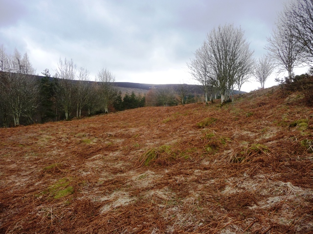
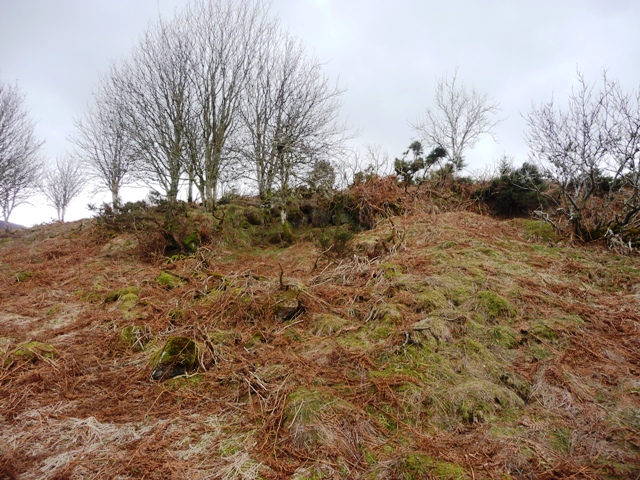
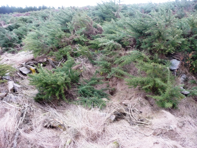
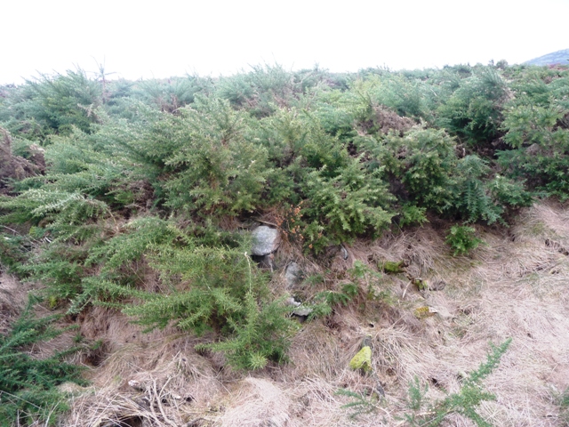
Canmore correctly suggests that this was a hillfort but it is more likely to be a small village with fortifications. Unfortunately this is a site covered in grass, heather and gorse but there is more than enough even for the untrained eyes. Several hut circles can be seen, including two with obvious build work still standing. A massive rampart must have surrounded the settlement. This can be best viewed on the eastern flank.
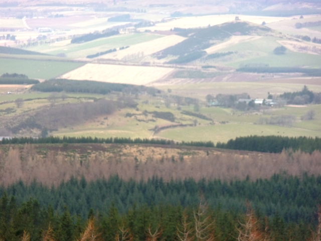
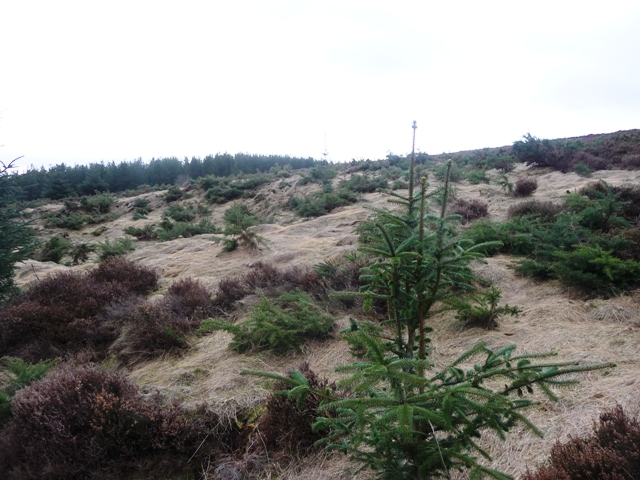
Some damage has been done by de-forestation but to be fair the site is well protected. As for the rampart an entrance can be seen on the best kept remains being 4-5 feet wide. A full scale excavation could find many objects here. However the best place to see the fort/settlement is way above on the way to the Oxen Craig cairn. Just before the cairn is Little Oxen Craig, one of Bennachies quarries. It looks straight down onto the site giving a full scale insight to builders intentions.
Other forts are clearly visible, views up and down the valley, access to a small stream and agricultural systems. Very clever, very sensible.
Thanks to Mel and her dog George for showing the way, and for making sure I didn't go to slow!