I parked in a one car spot by the footpath , just down the road from the fancy entrance gatehouse to the extremely extravagant Victorian folly Peckforton castle, now a hotel and wedding venue, and very nice place.
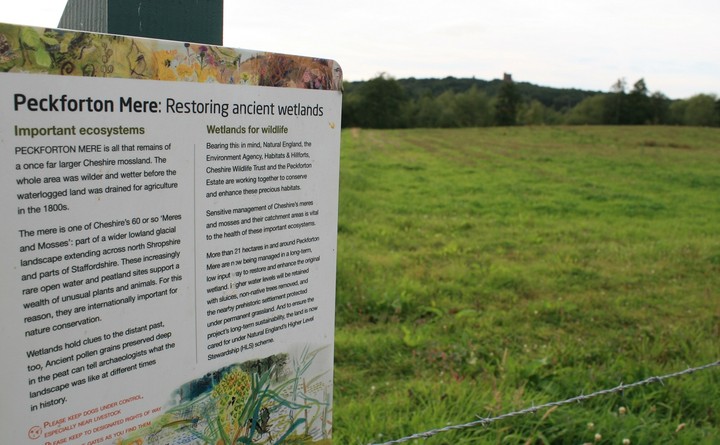
Two sandstone monoliths stand by the footpath entrance, and on the other side of the stile is an information board telling us about the Meres.(but not the fort) There are many remnants of the ice age in Britain, moraines, U shaped glacier cut valleys, Chesil beach, but in Cheshire and parts of Shropshire and Staffordshire we have Meres. A mere is where ice blocks from the retreating ice sheet gouged out the soft glacial deposits to form basins (‘kettle holes’) which hold today’s meres.
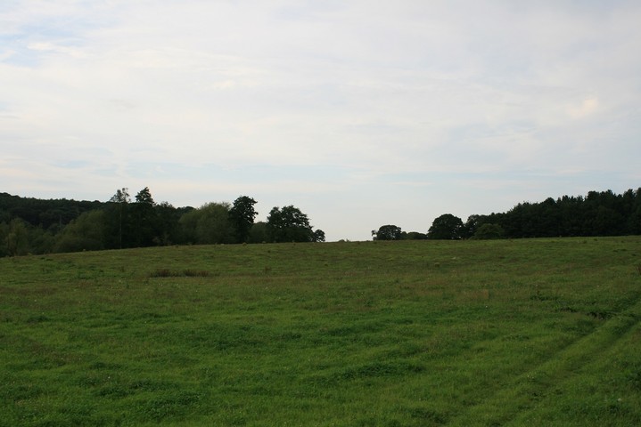
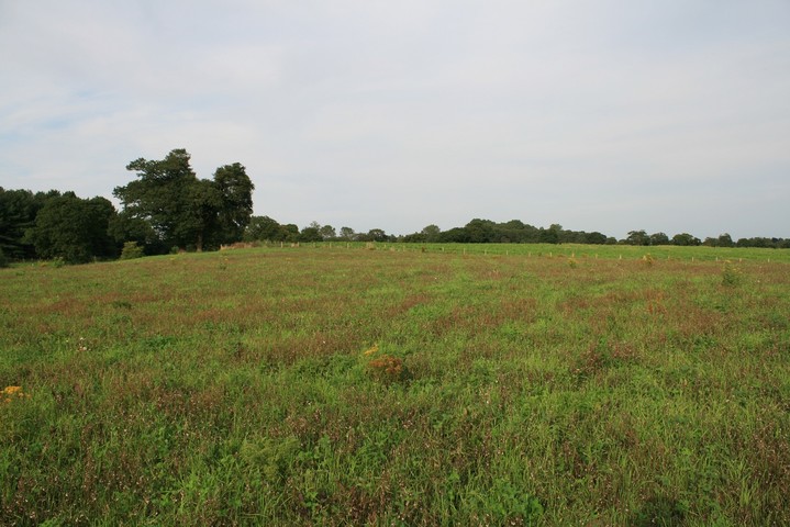
It was a nice walk in the countryside, in one of, if not the nicest place in Cheshire. But as Rhiannon points out there isn't much to see here, I couldn't even see a single earthwork. Perhaps it was in the turnip patch, a patch as big as two football patches.
So without much to go on at all, nothing but an arrow on the streetmap facility, and no noticeable earthworks, I still reckon that I was stood in the middle of an iron age settlement. I channeled the genius of Stuart Ainsworth and set about walking to and fro with map in hand, glancing at it now and then. Three hundred meters south of the forts position is a piece of obvious high ground, but it looks like it's got a low barrow on it, is that why they shunned the higher ground, or was it just about the water. Walking about the field and looking down on Google earth I think I found part of the course of the old river, a boggy patch with that crappy reedy grass all over it defines the forts southern extremity, the mere still guards the western side and the now rather weedy stream is on the north.
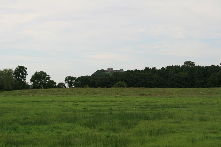
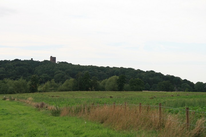
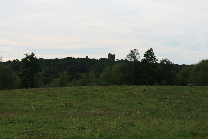
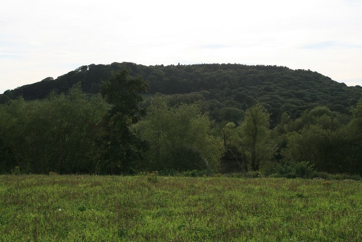
From here we would have been able to gaze up at our sacred hill Beeston crag, surmounted with the bigwigs impressive hill fort, and a mile or two south on 'my hill' Maiden castle, and above the fort is Stanner Nab, a two hundred meter high mound shaped hill. Rhiannon was right this is an interesting place, even in it's utter destruction.
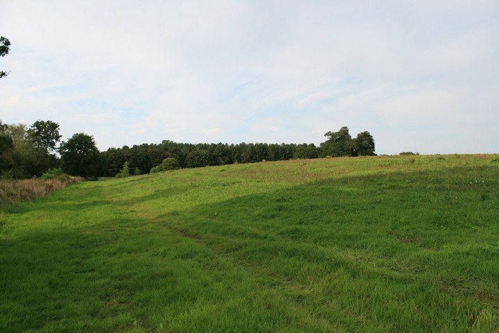
Well there isn't much to see here, in prehistoric terms, to say the least. But it sounds such a great place in the imagination. Peckforton Mere used to be much bigger, and the promontory fort here used the mere and the slightly different course of the river at the time to act as defence. So the settlement was protected on the north, south and west because it was on a promontory into the water, and cut off by a bank and ditch to the east. Apparently you can just about see the bank and ditch, but it's one of those very vague things so don't get too excited. It's all a nice thought though, and it's surely in a interesting spot with views of the Peckforton Hills and Beeston Crag.

 Posted by postman
 Posted by Rhiannon