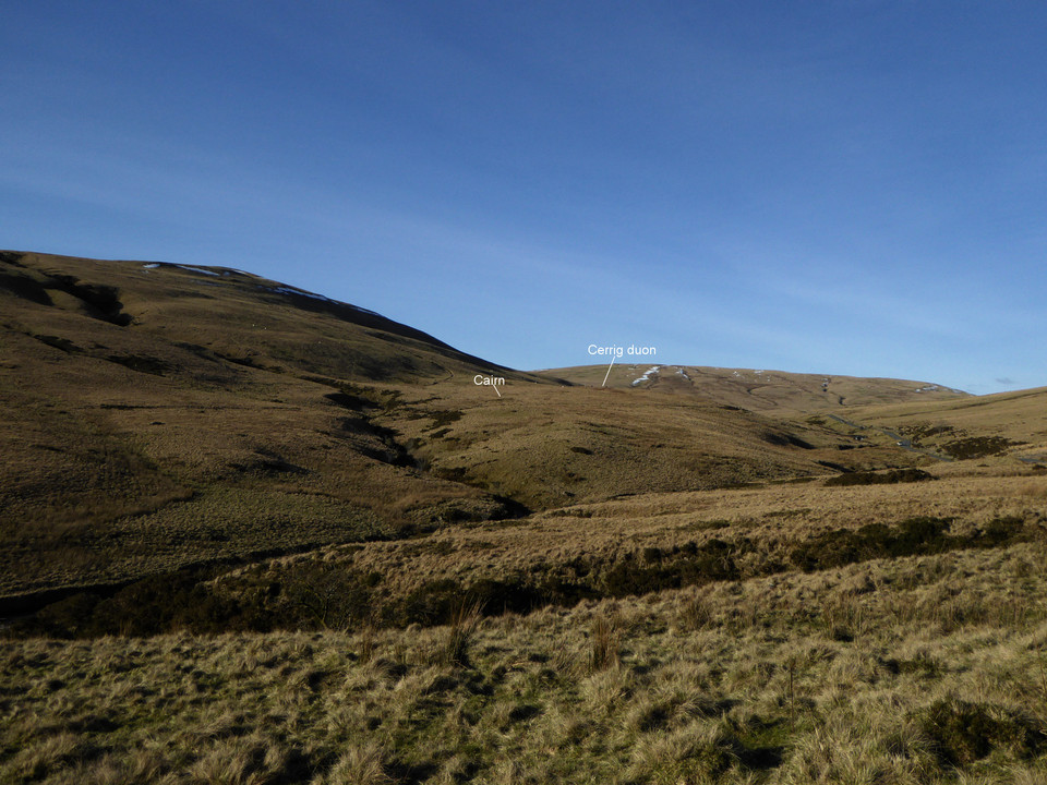
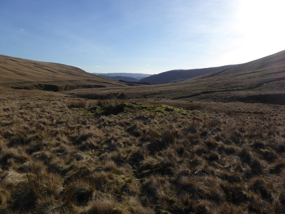
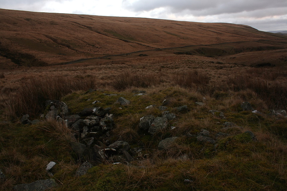
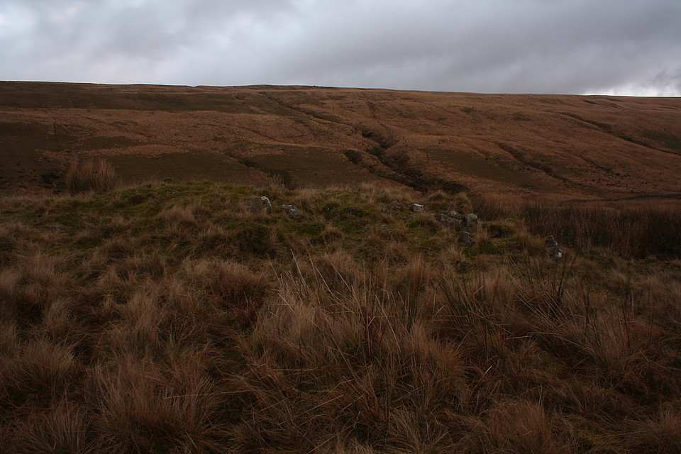
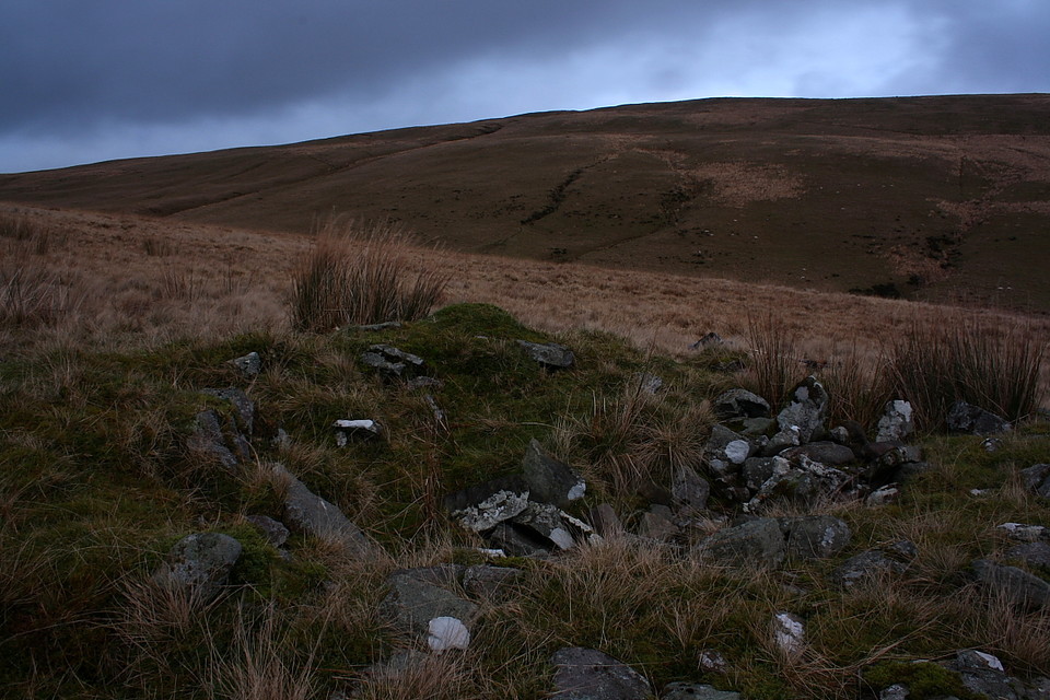
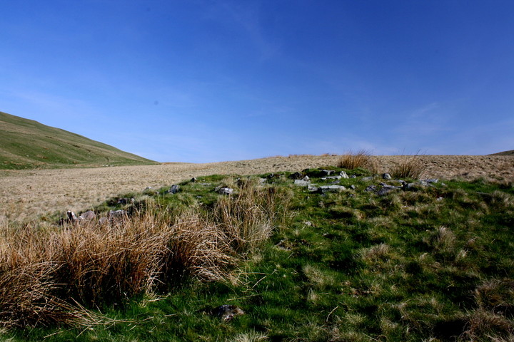
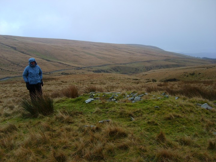
Well, who'd have thought it? After all these years trampling up and down the wondrous Mynydd Du, gawping at the elegant waterfalls upon the Nant-y-Llyn and hanging out at the Cerrig Duon, the penny finally drops that here, right beside the main path, is a genuine Bronze Age cairn.
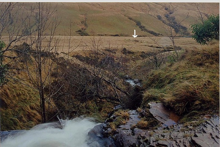
True, the cairn is not even marked on the 1:25K map and the stream's cascades, outflow of the superb Llyn y Fan Fawr sited far above, completely grab the attention of the passing hillwalker. Nevertheless.... honestly!
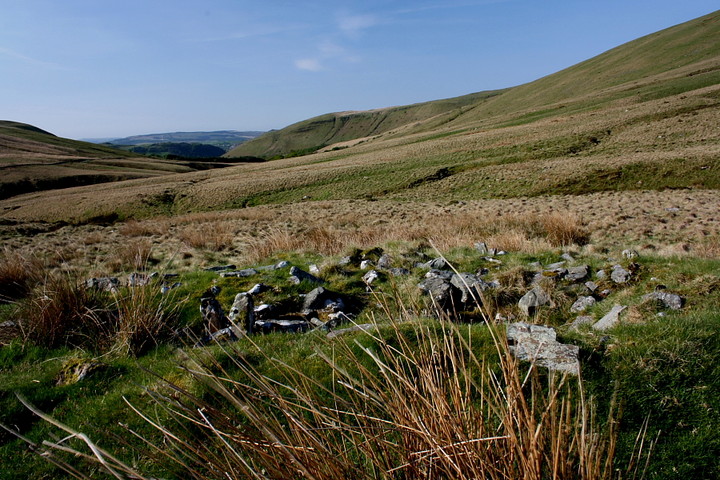
Sited overlooking the aforementioned Nant-y-Llyn, to the south of the Maen Mawr and its accompanying 'circle, a visit to this cairn is no easy affair most of the year since it requires the fording of the infant Afon Tawe - easier said than done in all but the driest of periods, today requiring a detour of a quarter mile upstream, not to mention waterproof socks. However combine a visit with the circle and you'll have yourself a grand few hours in fabulously wild, remote country infused with that additional 'aura' only prehistoric sites possess.
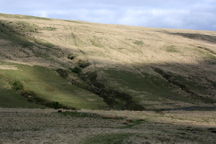
Hell, not even driving hail and blizzards could dampen our spirits today, not with washes of sun racing across the flanks of Waun Leuci during the intervals between weather fronts and the multicoloured sheep wandering up to gaze incomprehensively at the visitors. 'Allo creeps, Sidney Sheep 'ere'.
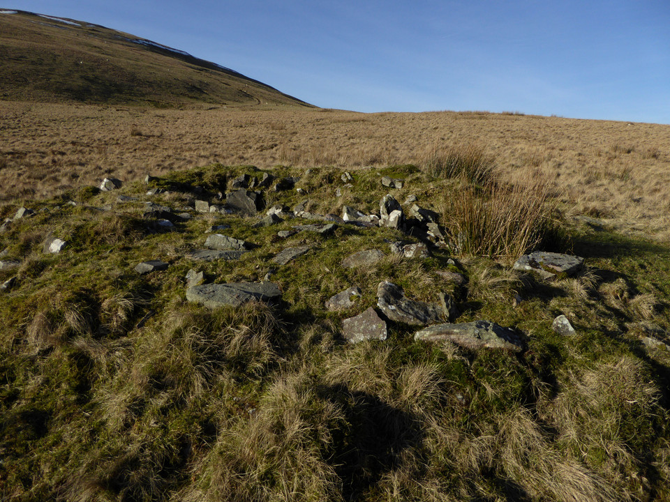
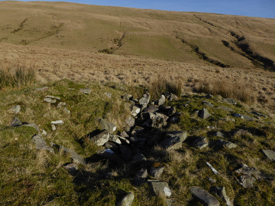
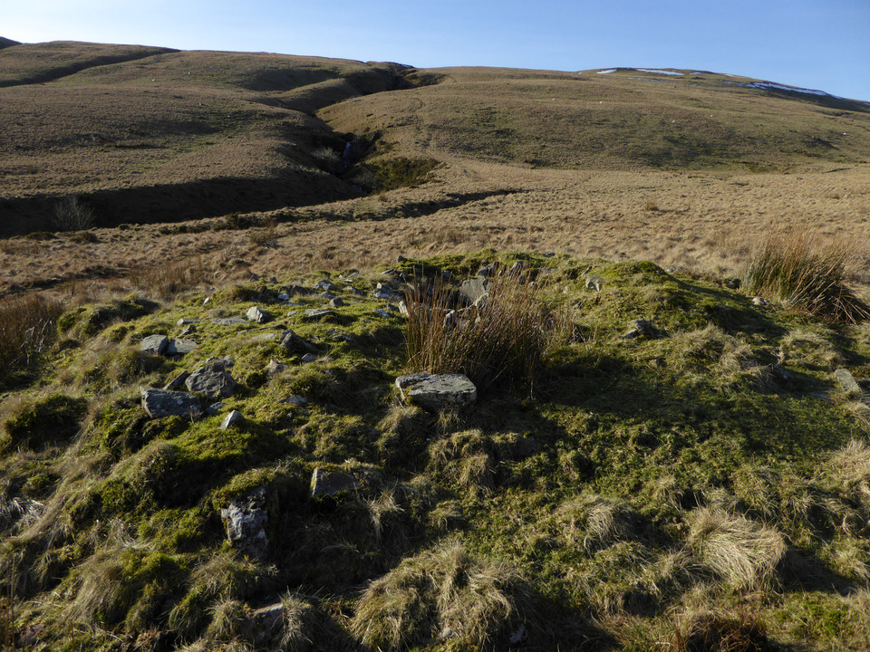
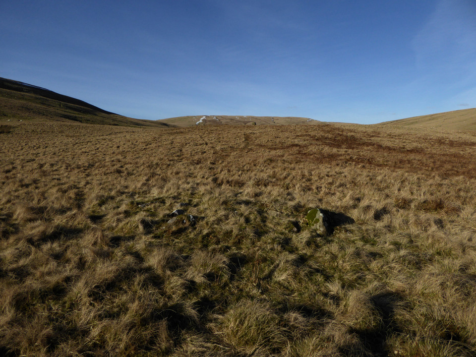
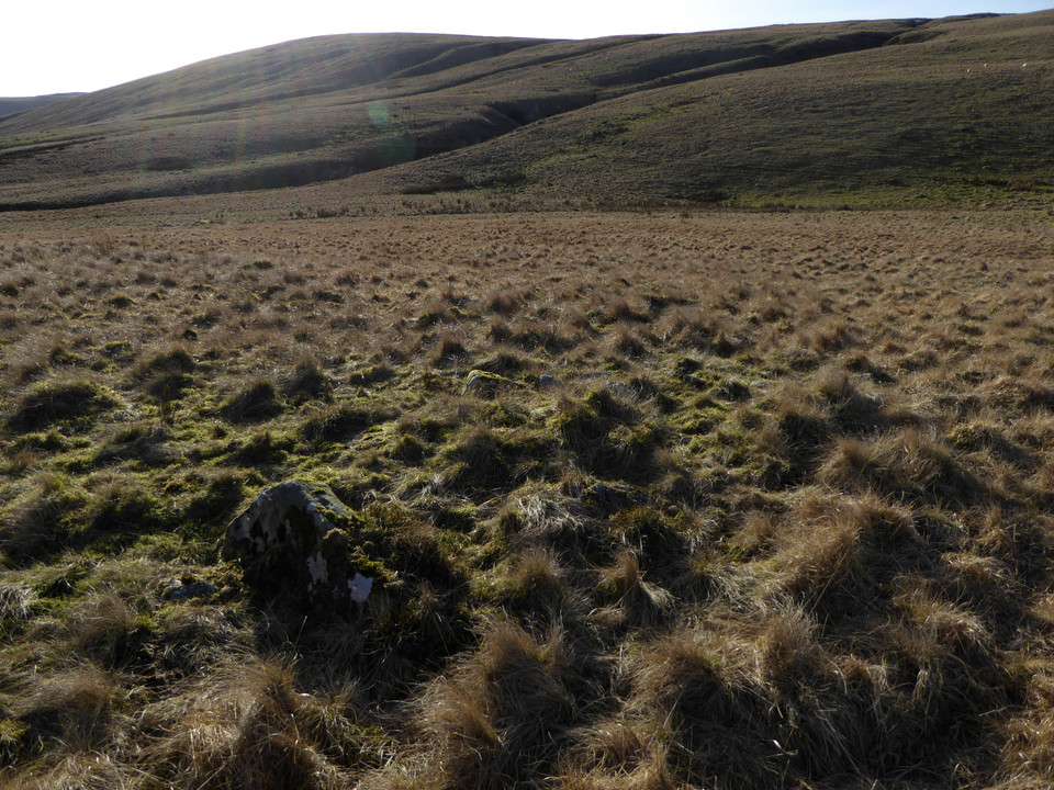
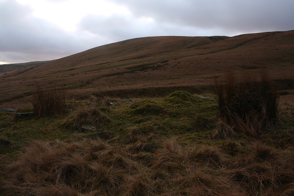
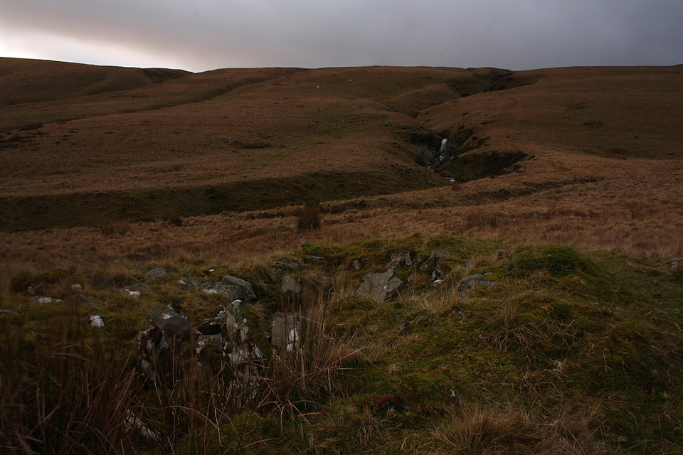
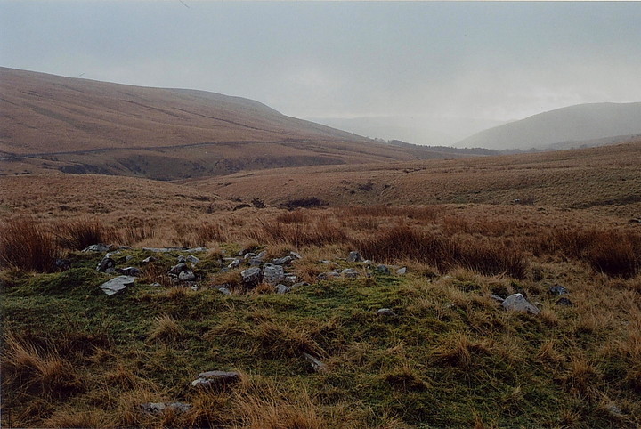
The location is superb, the only sound that of water making its inexorable way into the Afon Tawe from a myriad sources upon the mountainside, the loudest being the cascades just upstream. The cairn, clearly 'opened' at one time or another, would appear to have been sited with reference to these waterfalls, and also appears to have a remnant of cist within (?)
As for the technical bit... according to Coflein the cairn is:
"A Bronze Age round cairn is located on south-east sloping ground at 370m ASL, to the south of the megalithic complex of Maen Mawr and Cerrig Duon, and on the north side of Nant-y-llyn.
The oval stony mound measures 9.8m long (NW-SE) by 7.6m and stands to between 0.9m and 1.2m high, allowing for the slope of the ground. The cairn is marked by a central trench running NW to SE which measures 4.3m long, 1.4m wide and 0.5m deep; towards its SE end lie two stone uprights, perhaps the remains of a cist".

 Artistic / Interpretive:
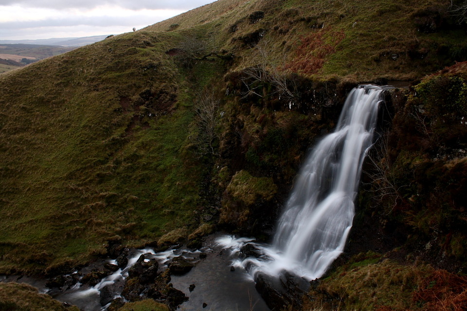
 Posted by GLADMAN