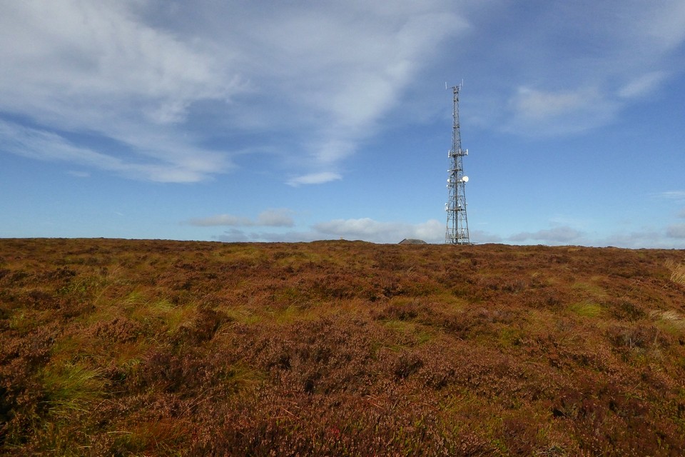
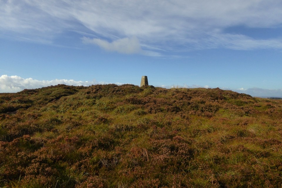
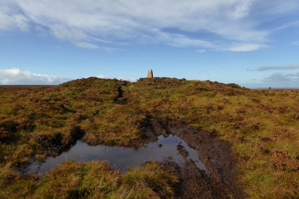
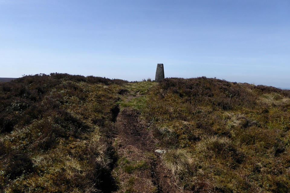
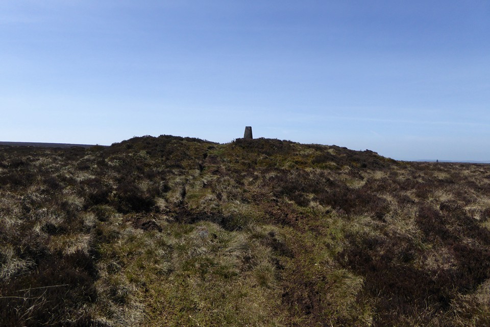
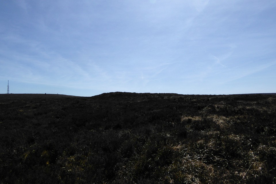
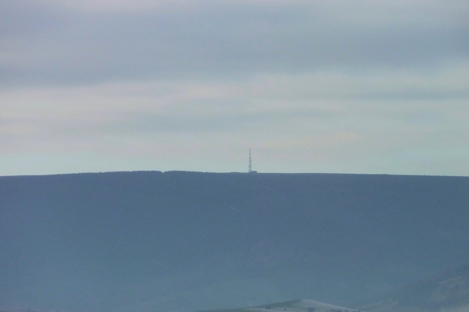
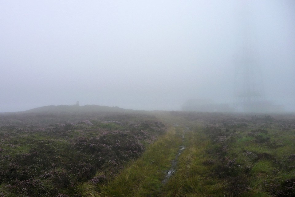
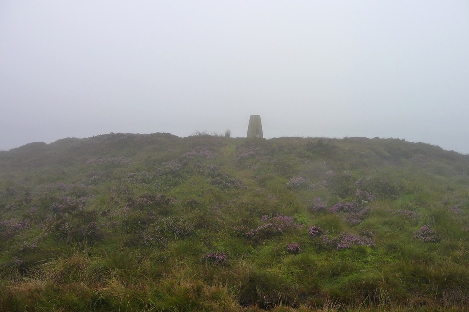
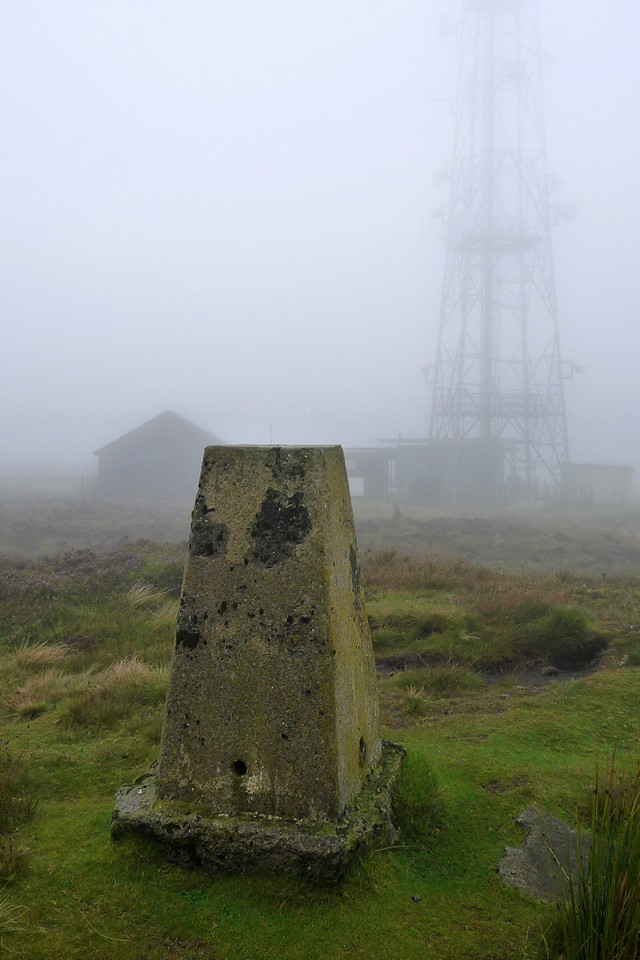
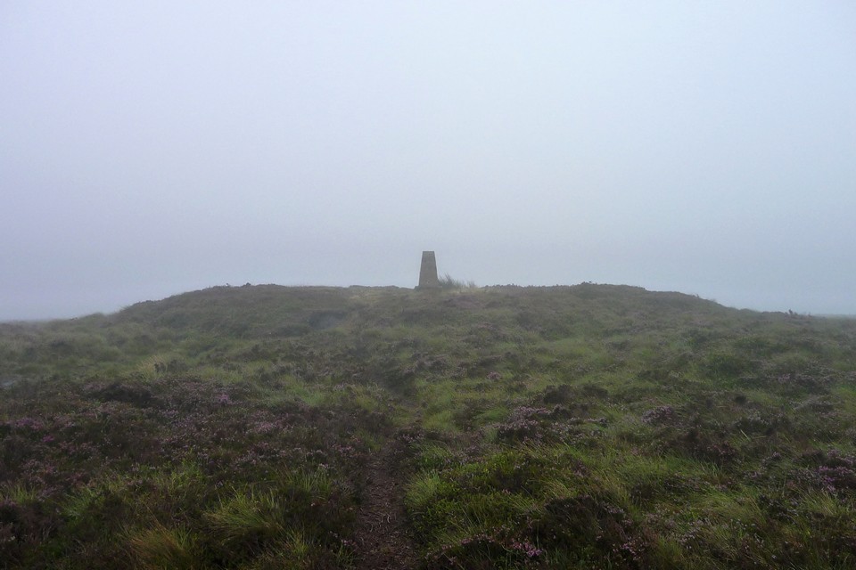
Instead, I squelch southeast, heading towards Black Mixen (OE: Black Dunghill), the second summit of the day. At least this section follows a clearly defined track. On a normal day, the enormous radio mast that tops the summit of the mountain would provide a foolproof landmark, but I can't even see that today. Like the summit of Great Rhos, this a flat, boggy area, characterised by spongy peat and tussocky heather. The radio mast finally emerges, and close by I can just make out the trig pillar. This one stands on a confirmed round barrow, although in truth it looks almost identical to the mound that the Great Rhos trig rests on. The top of the barrow is flattened, presumably by the usual digging and erosion rather than just from the incorporation of the trig pillar. Not a spot to linger on a day like this, with wet feet and a long way to go still. I head off and the barrow vanishes behind, real or imagined I cannot truthfully say.
As well as the summit cairn, there is a further round barrow at the northwestern end of the Black Mixen summit ridge, Mynydd Ffoesidoes, at SO19096521.
Coflein description:
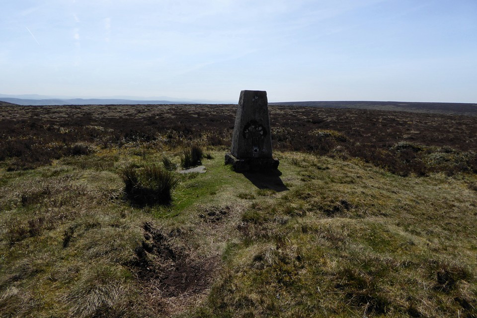
The monument comprises the remains of a substantial round barrow, a burial mound probably dating to the Bronze Age (c.2300 BC - 800 BC) and situated in enclosed rough moorland on the NW end of the Black Mixen ridge on Radnor Forest. The heather-covered barrow is circular on plan and measures about 24m in diameter and up to 1.3m in height. Although the W side of the monument has been disturbed and is generally lower, the base of the round barrow appears to be undisturbed. Traces of a surrounding ring ditch are visible, in places measuring up to 2m in width. The barrow is situated within boggy moorland - a Site of Special Scientific Interest - and has great archaeological and paleoenvironmental potential. The barrow possibly represents the remains of a platform cairn - the barrow displays no evidence of original 'bulk' indicating a rounded profile and is unlikely to have been extensively robbed.
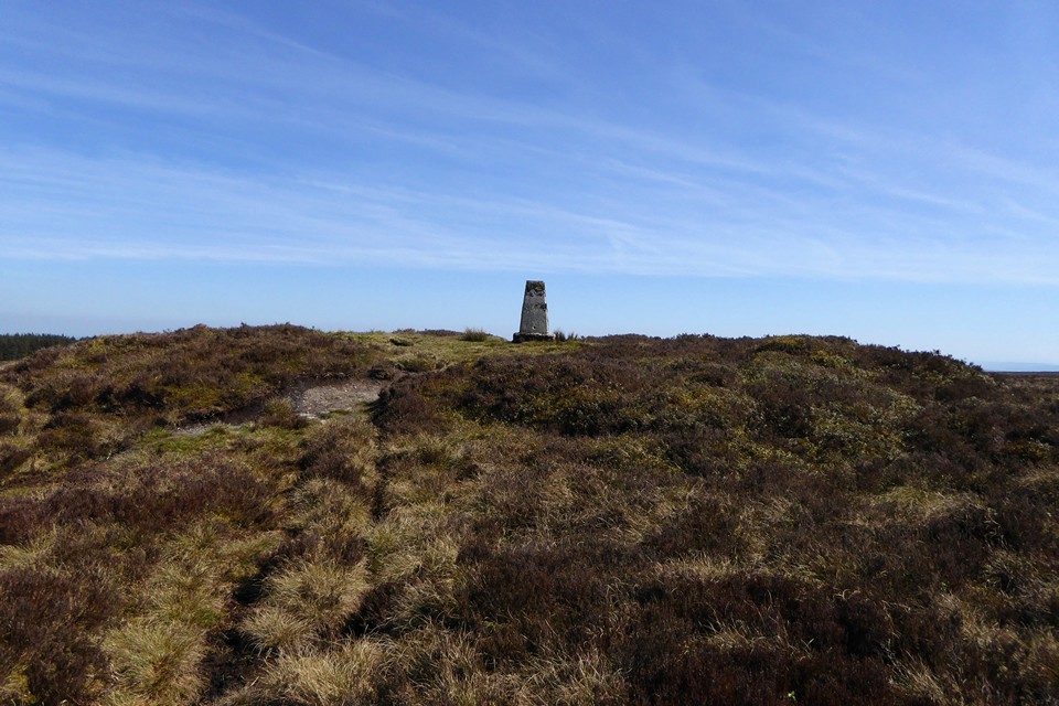
An eroded round barrow set upon the summit plateau of 2,133ft Black Mixen, Radnor Forest.
According to Coflein the barrow...
'...measures 22m in diameter and 1.5m high, topped by an OS triangulation pillar. The pillar....stands at the centre and the flat top to the mound is uneven, pockmarked with erosion hollows. Most of the barrow is covered in heather but the erosion scars were exposed peat'
There are numerous other burial cairns/barrows upon these unfrequented mountains, including a particularly fine example upon the summit of nearby Bache Hill to the SE and one upon the exquisite cone of Whimble - not to mention a myriad others on the surrounding lower ground. Radnor Forest is well seen from the large 'four poster' at The Four Stones, east of New Radnor.


 Posted by thesweetcheat
 Posted by GLADMAN