|
|

|
|
AthgreanyStone Circle
|
|
|
|
Sites in this group:
|
5 posts
Athgreany Rath Rath |
5 posts
Athgreany standing stone Standing Stone / Menhir |
Images (click to view fullsize) |
|


|
Fieldnotes |
|
|
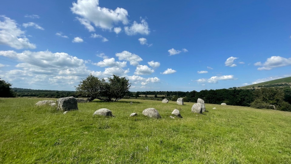
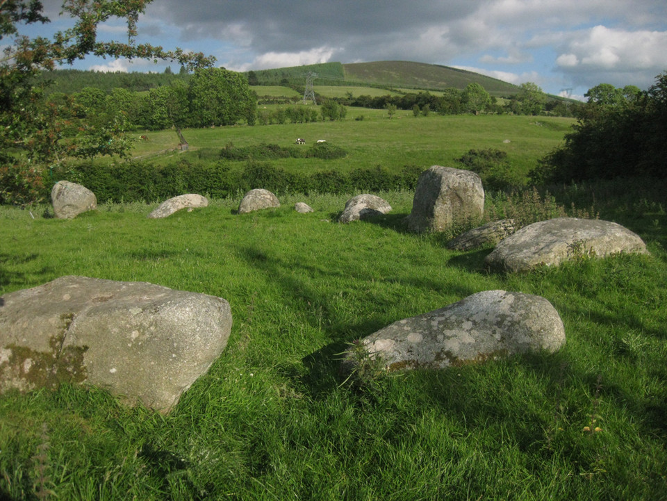
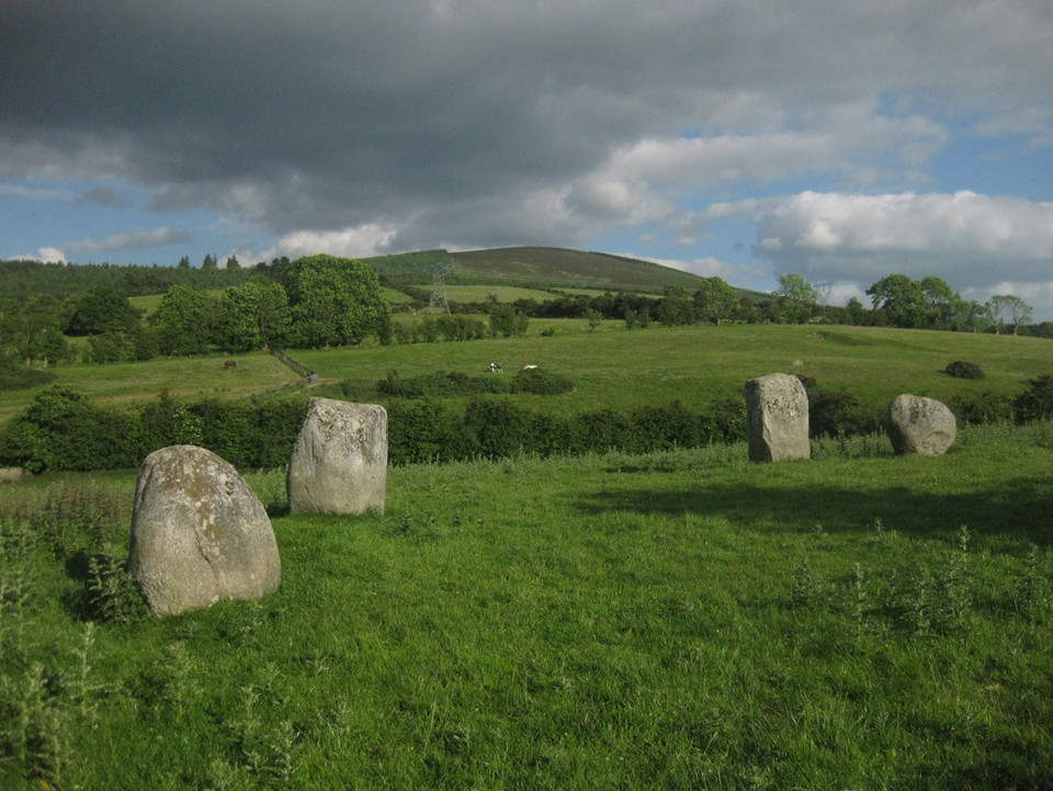
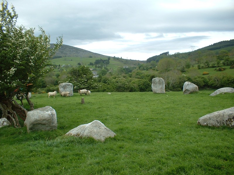
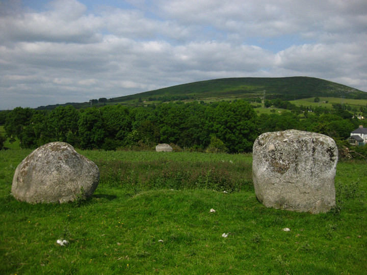
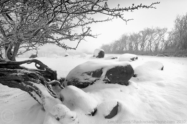
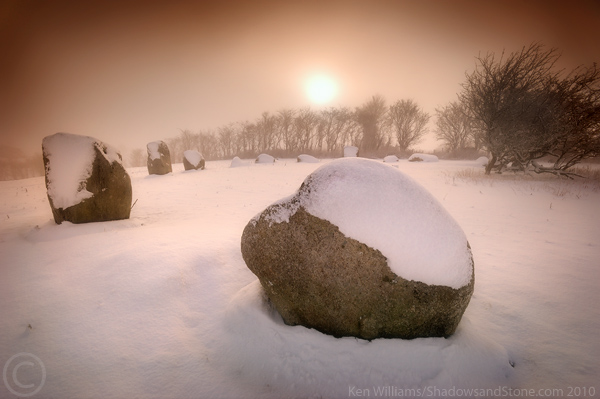
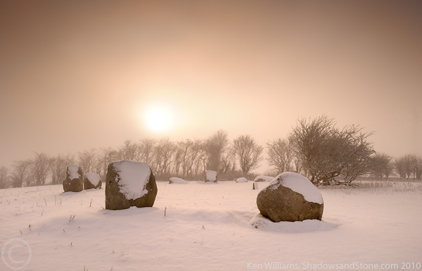
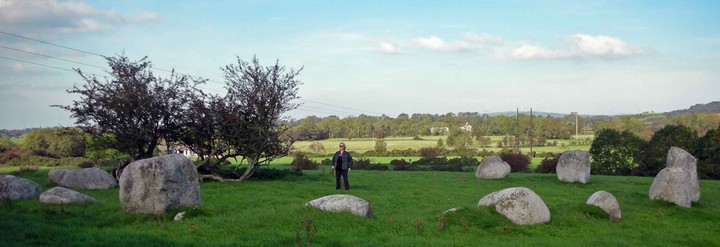
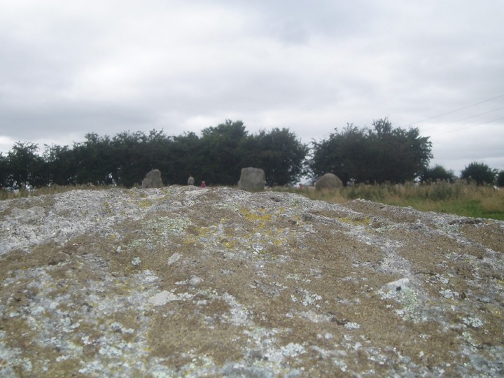
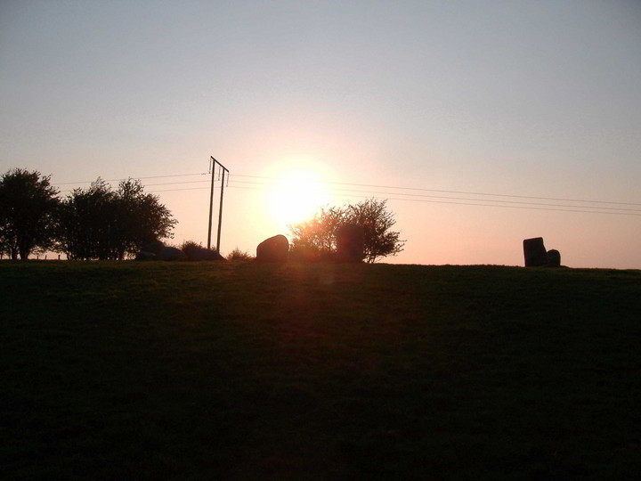
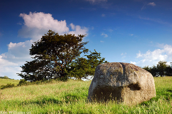
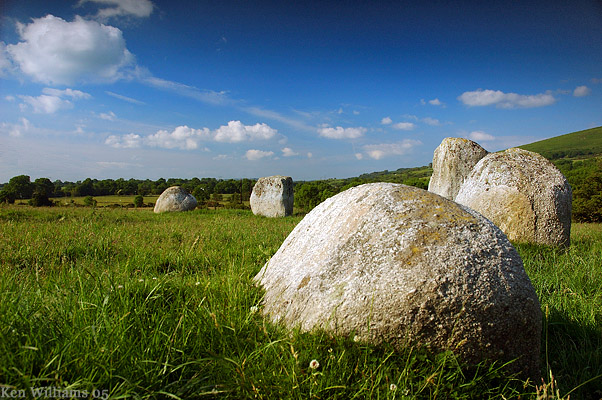
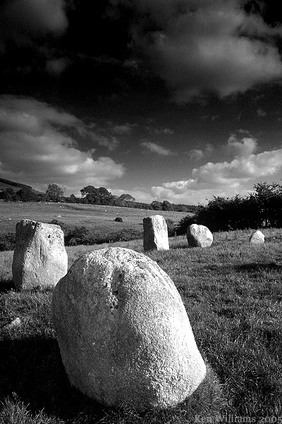
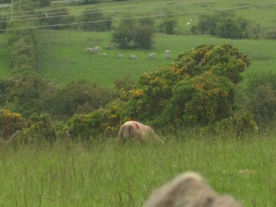
Visited 25.5.11 We parked in a small lay by and I walked over the wooden stile towards the information board. (The site is signposted – Pipers stone circle) It was a good start to the walk to the stone circle – some kind soul had started to kill off the dreaded gorse in the field approaching the stone circle!! (I hate gorse!) As I walked up the hill I thought I could see the tops of the stones starting to appear – only to realise that they were in fact sheep!! The weather had taken a turn for the worse and it had started to rain, with increased wind. Undeterred I spent a fair bit of time here admiring the stone circle – it really is a cracking site. Several of the stones are very large, one above head height. There is a large quartz outliner that appeared to have a groove across the top? This is another easy site to access and yet another that is well worth a visit when in the area. |
Posted by CARL 16th June 2011ce |
|
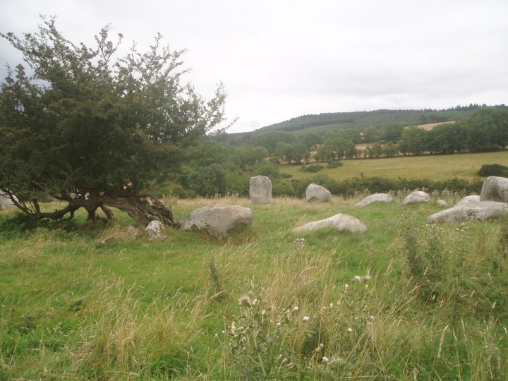
A hawthorn tree located in the ring of the circle leans sharply along the circumference of the ring with its trunk split into multiple sections which come back together; branches both ascend towards the sky and descend to the ground and are re-rooted, with the trunk eventually re-rooting as well. People leave offerings in the branches. I saw coins, bits of clothing, key chain sheep, and a manikin formed from a tuft of wool. I wondered if the manikin was something more than an offering. This tree understandably is treated as a fairy tree. The offerings are similar to those left at holy wells dedicated to Irish saints, but there was no indication of any connection to saints, Catholicism, or Christianity here. |
Posted by dougf 10th July 2009ce |
|
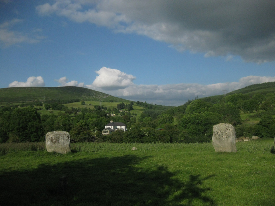
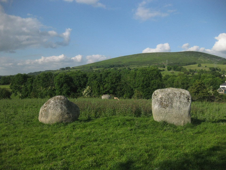
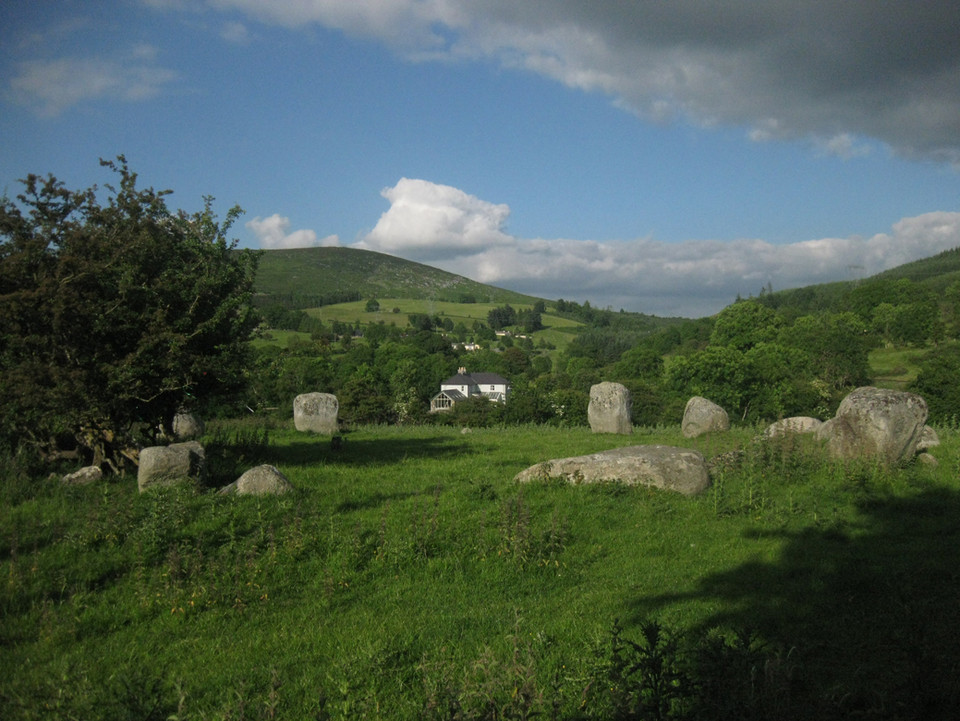
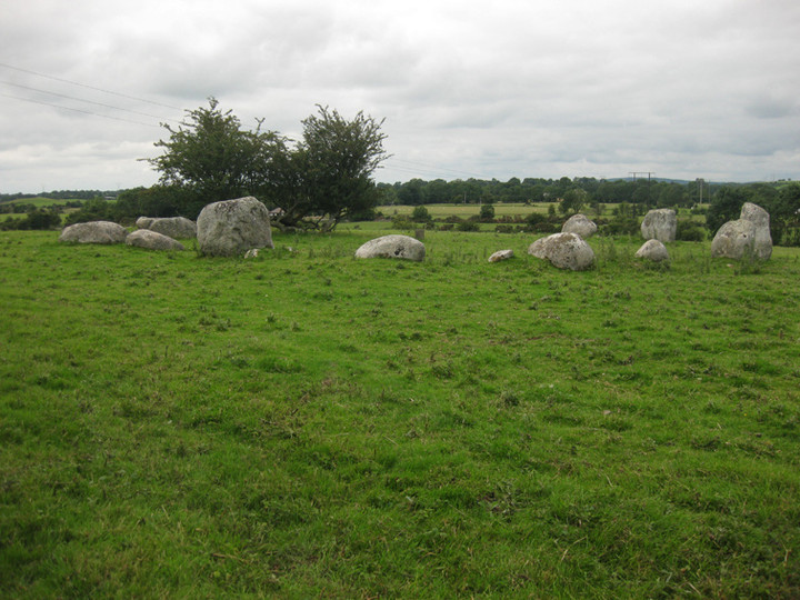
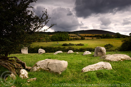
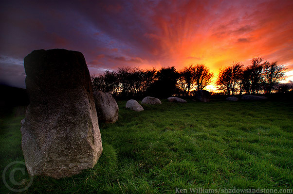
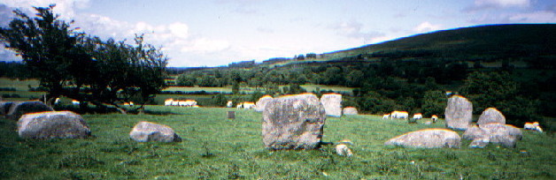
After the disappointment of not being able to get close to either the Punchestown Stone nor the Craddockstown Stone, we arrived here fairly down-hearted. We pulled onto the side of the road by the sign for the circle and headed up the hill. When we reached the top of the incline, our mood immediately lifted when we saw the most beautiful circle in front of us. This is a very round circle and reminded me of Glenquickan in Scotland, both in size (although the stones here are much bigger) and the location. There was a family already there, father and 3 kids and I noiticed that he had Burl's guide with him. We started chatting and he explained that he had been helping a friend excavate the site on the day the picture for Burl's book was taken. This was the first time he had been back to the site and he was trying to work out the postion of the photo. After 30 minutes of chatting, he recommended other sites for us to visit in the area and the combination of the stones and the kindness of strangers made our disappointing morning a distant memory. This post appears as part of the weblog entry VVXX Phase 3 - Ireland
|
 Posted by Vicster
16th August 2006ce Edited 21st August 2006ce |
Folklore |
|
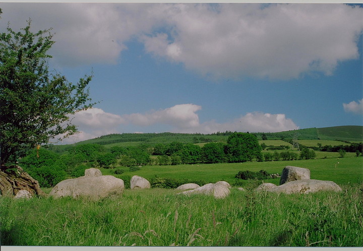
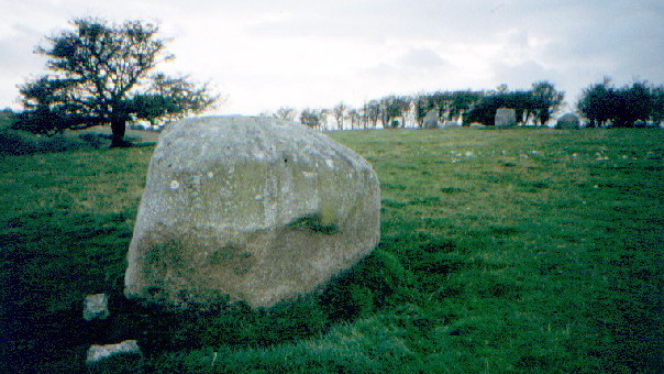
Twenty-one yards north-west of the "piper" (the outer stone of the circle) are two smaller stones 10 yards apart; they seem to be the end stones of an avenue leading to the circle.From 'The Antiquities of the Dunlavin-Donard District (Counties of Wicklow and Kildare)' by Patrick T. Walshe, in The Journal of the Royal Society of Antiquaries of Ireland, 7th series, Vol. 1, No. 2 (Dec. 31, 1931). |
 Posted by Rhiannon
27th February 2010ce Edited 27th February 2010ce |
Latest posts for Athgreany |
Athgreany Rath — Fieldnotes |
|
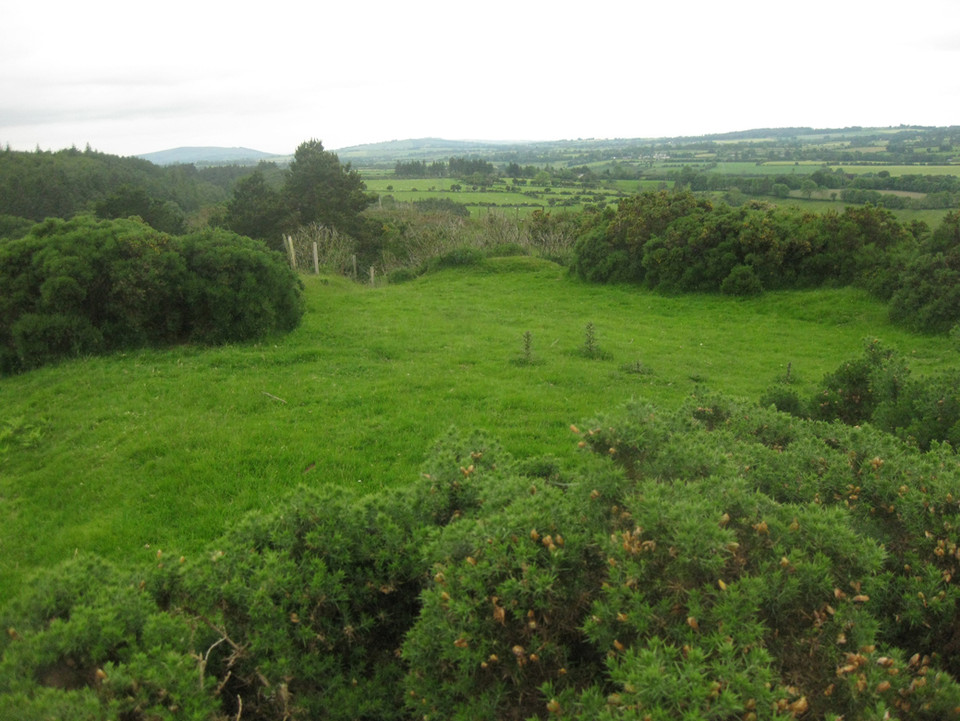
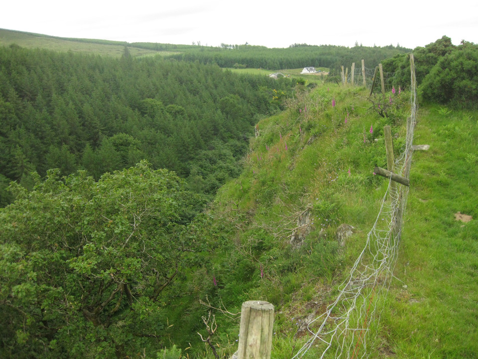
I approached this site from the bottom of the cliff in Hollywood glen at N934024. There is a small waterfall on the east side of the road that runs through the glen and just beside this is a pumping house. Directly opposite this you can see a track up towards the cliff-top. It is extremely steep and arduous. This is called a rath here but I'd say promontory fort would better describe it. It's D-shaped, with the straight line of the D to the east and the maw of the cliff. It's maybe 40 metres north-south, but the ditch, where it can be seen below the vegetation, is impressive. There are some earthfast boulders peeping out of the structure of the defences but it's hard to say what the bank is made from. Allowing for silting over time, I'd say possibly 3 metres in places from bottom of ditch to top of bank. There are no traces of any structure inside the small area of the fort, which has space for one homestead. Did the people who lived here, if this was a habitation site, build the stone circle below? The views west down to the N81, where traffic blasts noisily by, and across the Kildare plain are great. North-north-east the cairn of Slievecorragh is visible. |
 Posted by ryaner
20th July 2014ce Edited 27th July 2014ce |
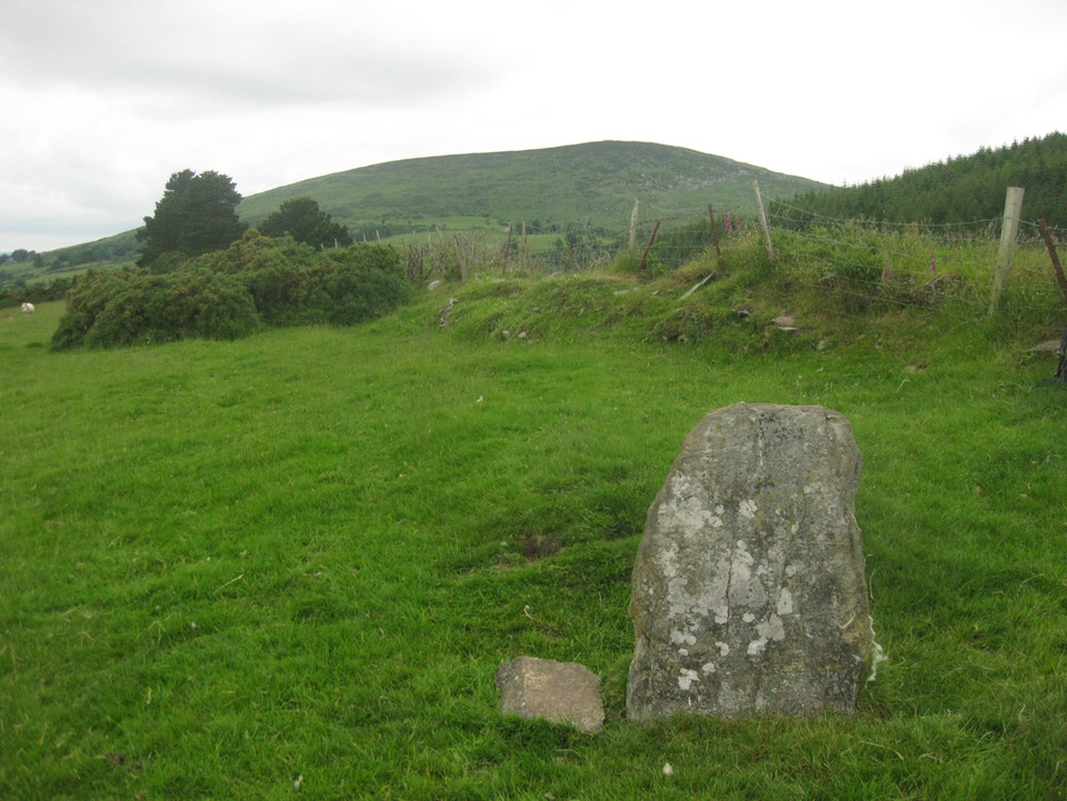
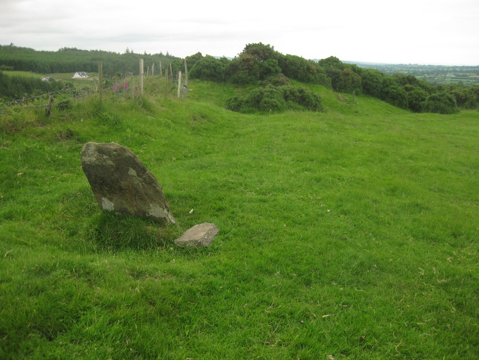
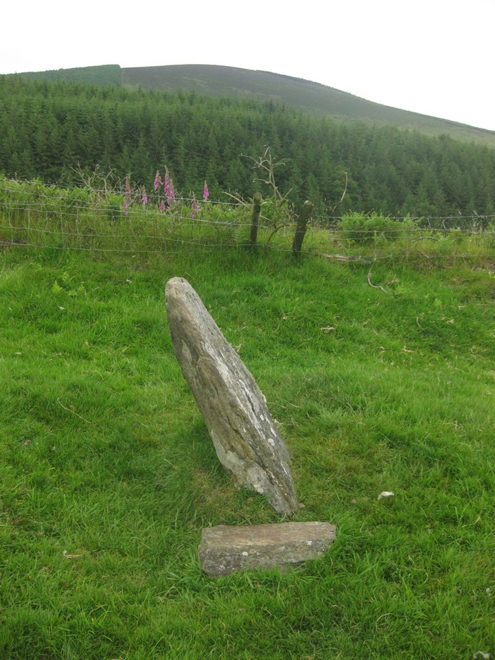
Athgreany standing stone (Standing Stone / Menhir) — Fieldnotes |
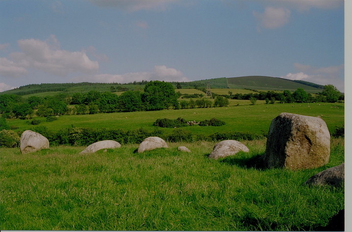
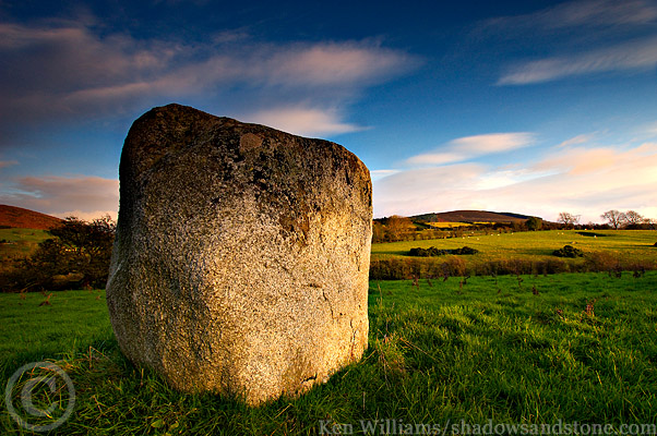
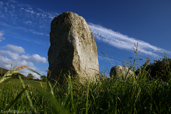
| The long axis of the standing stone, almost NW-SE, points NW directly at the stone circle below. South-east is the peak of Church mountain with its cairn, though this is not visible from here. There is a handy stone placed at the base of the standing stone, probably used as a comfortable viewing seat with the narrow axis of the stone as a backrest, to look down on the stone circle. The stone now leans to the north-east. It's over a metre tall. |
Posted by ryaner 20th July 2014ce |
Athgreany standing stone (Standing Stone / Menhir) — Images (click to view fullsize) |
|
Posted by ryaner 15th June 2014ce |
Athgreany Rath — Images |
  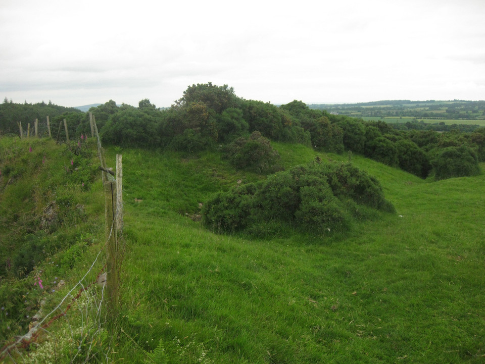 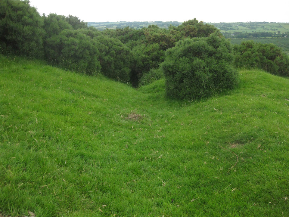
|
Posted by ryaner 15th June 2014ce |