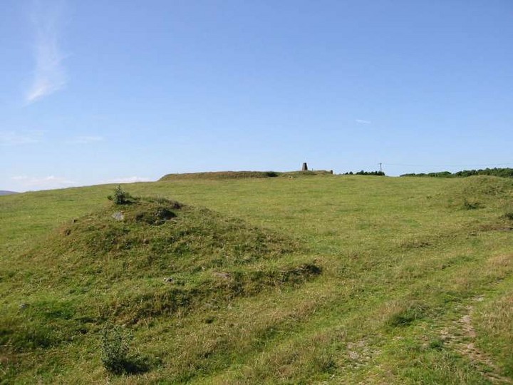
On the road between Crone More and Kilqueeny, on the peak of a nameless hill with clear views to all points of the compass, is marked a barrow on the OS map – a dubious categorisation. What is here is a low henge, 50 to 80 cms high and 30 metres in diameter, with evidence of a ditch on the inside.
There is further evidence on the east arc of a larger, surrounding earthwork about 15 metres out from the very clear henge. South-east, in a clockwise direction are 2 mounds that seem to be the remains of an entrance to this larger ring. Following this imaginary ring in the same direction there is nothing.
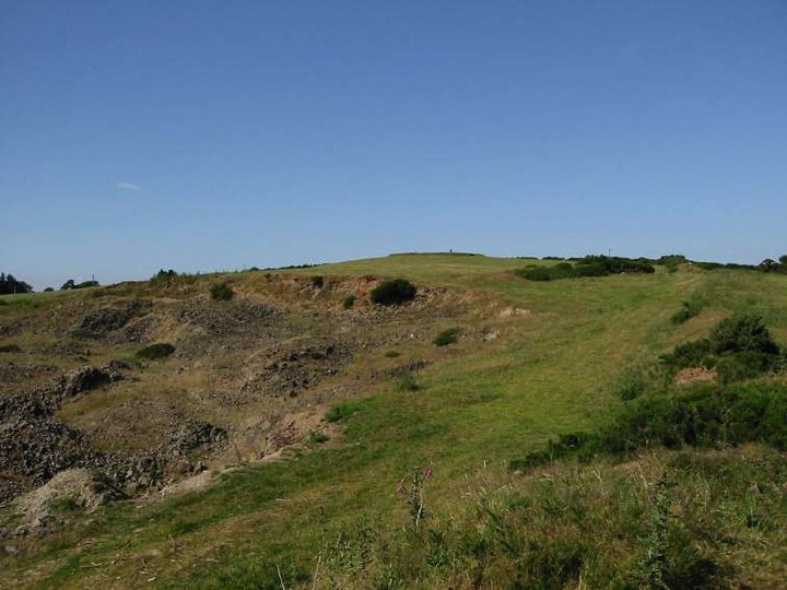
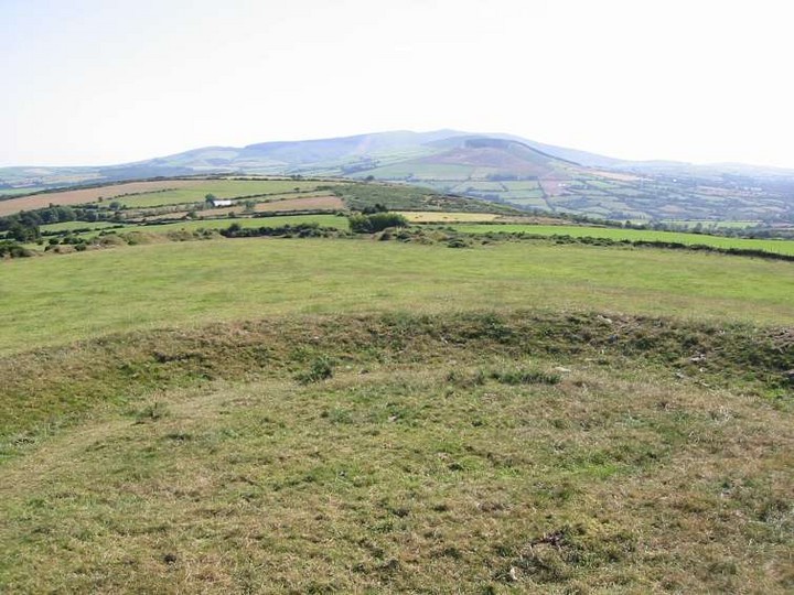
South-south-west, the views across to Croghan mountain are gorgeous. 100 metres in the same direction is a quarry, modern but maybe with ancient origins. South-east, down the vale of Avoca, the sea around Arklow glimmers in the sun.

 Posted by ryaner