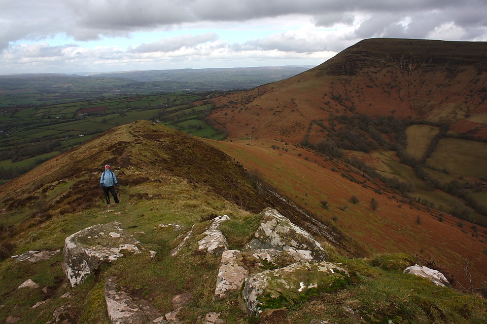
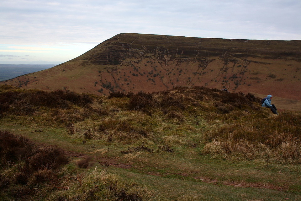
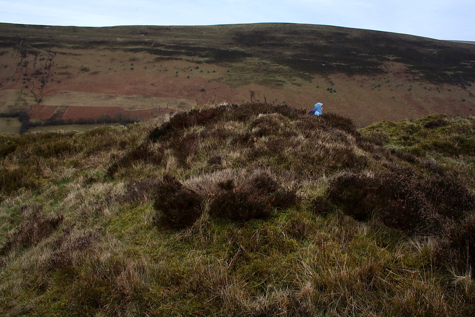
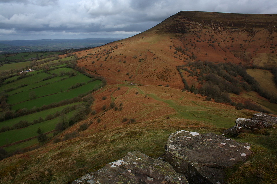
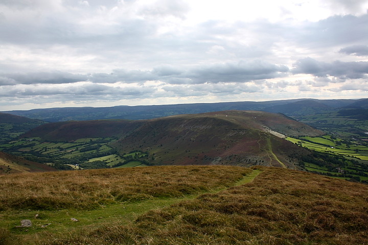
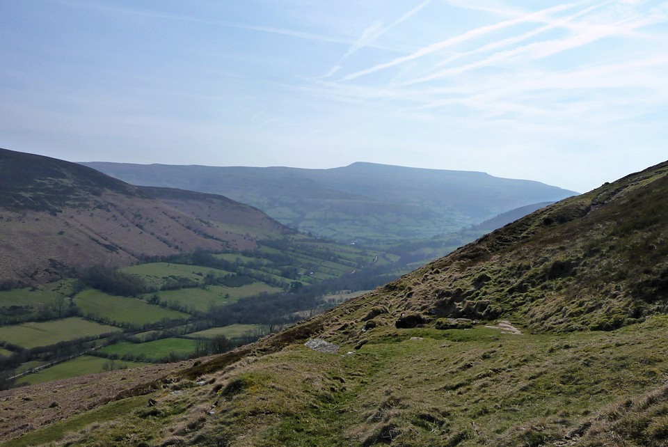
Walking north across the summit of Mynydd Llangorse (10.4.2010) from Blaen-y-Cwm Uchaf, the ridge narrows and then starts to descend in a series of rocky steps down towards Mynydd Troed.
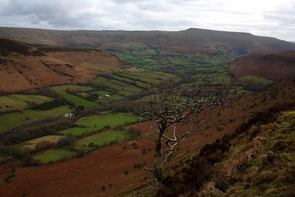
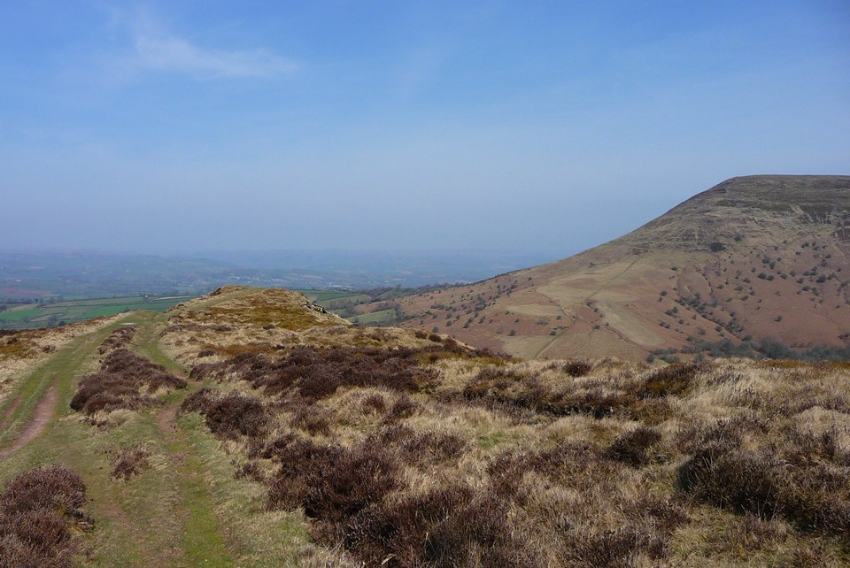
As Gladman says, there's not much to see in the way of ramparts, but the views are great. The chambered tomb in the valley below is readily visible from here and obviously would have been readily visible to any iron age occupants who happened to be perching on a ledge here (I don't think they would have been hanging around here that much though, it's hardly spacious accomodation and the views probably wouldn't be much consolation in the middle of a gale in November).
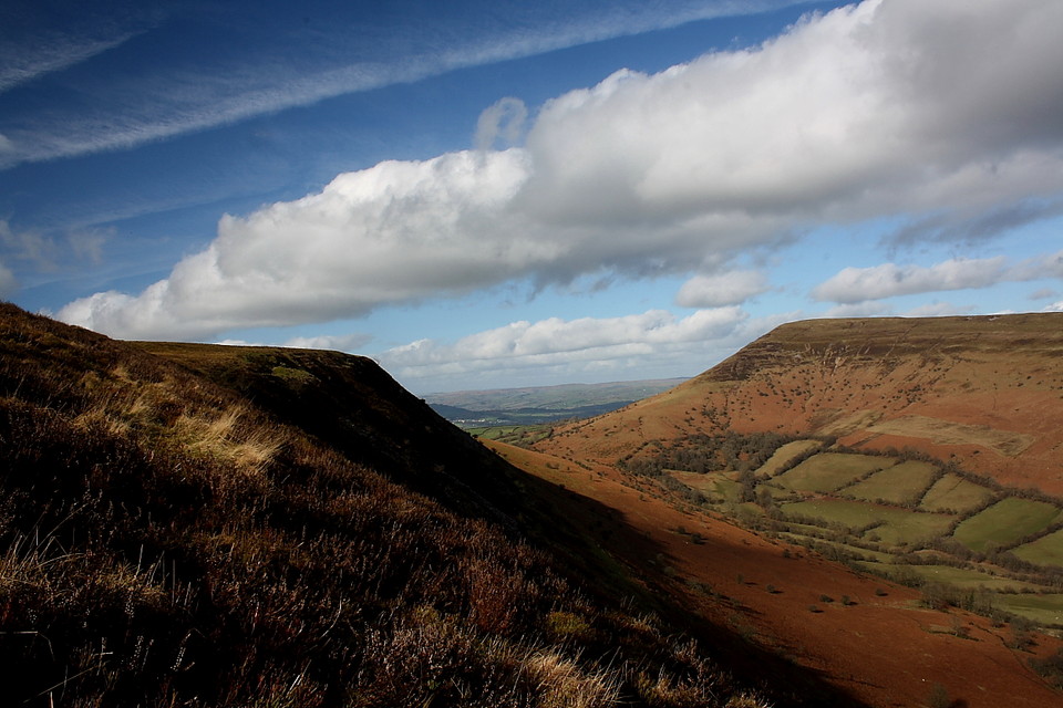
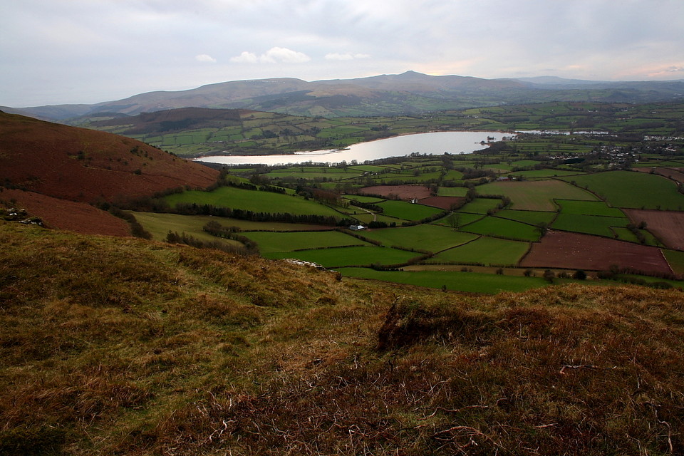
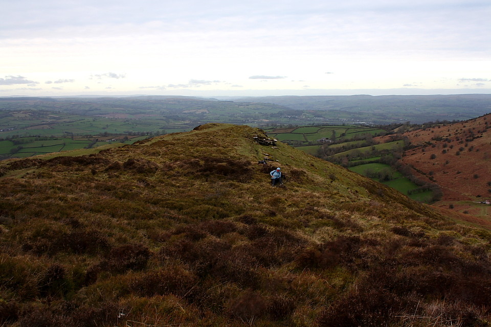
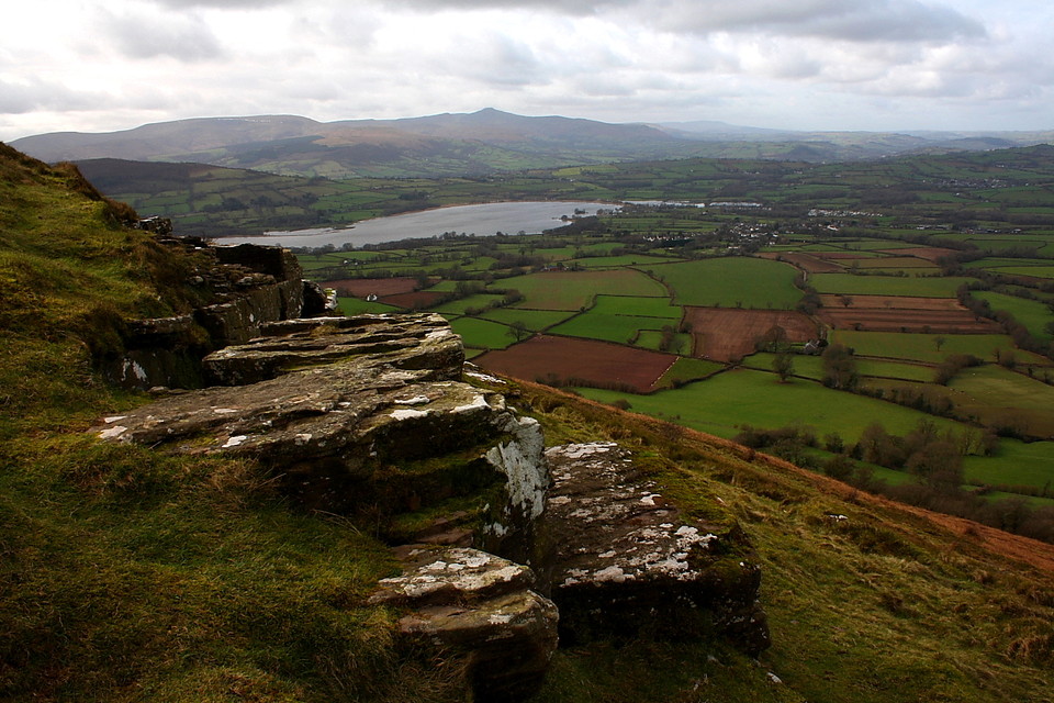
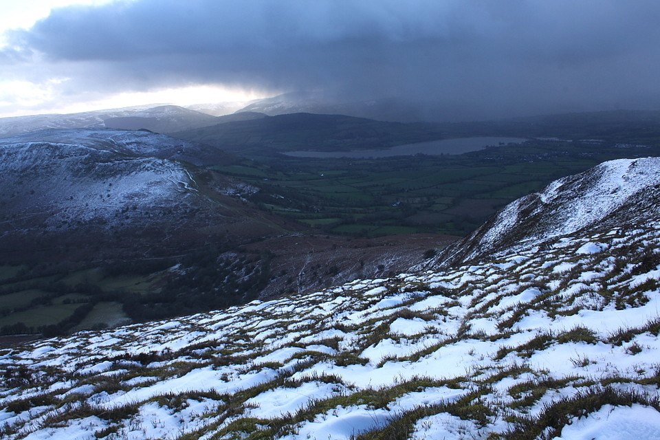
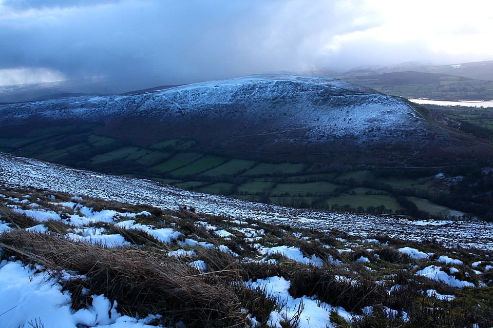
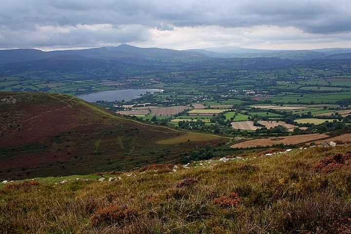
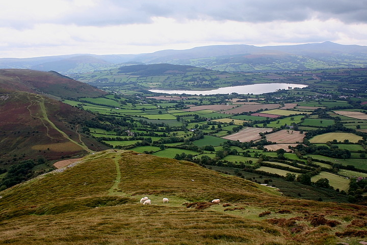
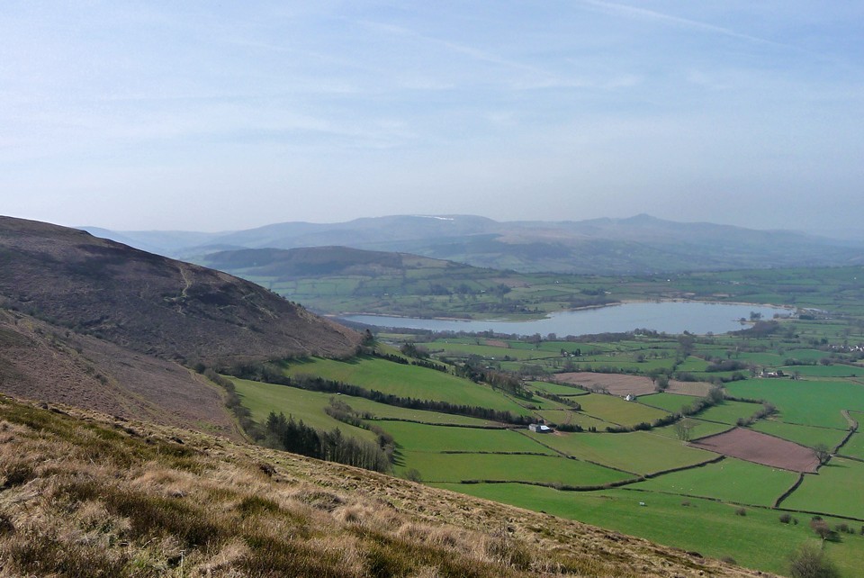
Although short, the climb up from the bwlch to this promontory fort is rather steep - emphasising, in the most obviously practical manner, the grand choice of siting its occupiers made. Having said that, it's well worth the effort, since the views towards Llangorse Lake and the Brecon Beacons are superb. The view down Cwm Sorgwm, featuring the small Caeau Enclosure http://www.themodernantiquarian.com/site/12472/caeau_enclosure_cockit_hill.html isn't exactly ordinary either.
I don't recall being overly impressed by the defences, although it should be noted that my 2005 visit with the Mam Cymru coincided with the bilberry season - the Mam consequently collecting copious amounts of the fruit to go into her jam - the carpet of plants possibly masking them to some extent.
The expert opinion from Coflein is:
'A bank and ditch, 29m long, cut offa 55m deep promontory defined by vertical rock outcrops to the N and NE and steep slopes tothe W.'
Also note that there is a standing stone south of Mynydd Llangorse summit at SO15782544, above Cwm Shenkin.

 Artistic / Interpretive:
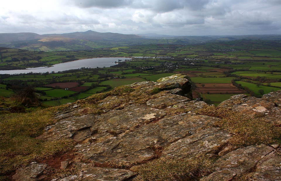
 Posted by thesweetcheat
 Posted by GLADMAN