The Modern Antiquarian
Log in
|
Register
Home
Latest Posts
Forums
Maps
Help
Browse Sites
News
Blog
Contributors
The Books
Select
-
Belgium
Denmark
Eire
France
Germany
Greece
Italy
The Netherlands
Norway
Portugal
Republic of Malta
Spain
Sweden
Switzerland
United Kingdom
County Kerry
Foheraghmore
Standing Stone / Menhir
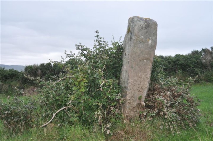
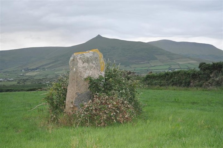
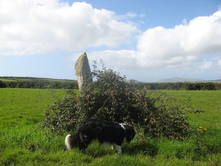
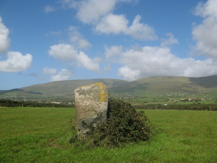
Foheraghmore (Standing Stone / Menhir) on The Modern Antiquarian, the UK & Ireland's most popular megalithic community website. 4 images, plus information on many more ancient sites nearby and across the UK & Ireland.
Image © Bawn79 © 2009
Nearest Town:
Cahershiveen (21km S)
OS Ref (IE):
Q502002 /
Sheet: 70
Latitude:
52° 8' 0.56" N
Longitude:
10° 11' 16.98" W
Added by
bawn79
Images (4)
0 discussions
Start a topic
Show |
Hide
Web searches for Foheraghmore
Flickr
Google
Google Images
The Megalithic Portal
Bing
Stone Pages
Wikipedia
Show map
(inline Google Map)
- Sites within 20 km -
-
Aghacaribble 1 (1.08km E) (8 posts)
Kinard East (1.12km SSW) (2 posts)
Ardamore (2km E) (5 posts)
Ardamore (2km E) (14 posts)
Doonmanagh (Puicin an Chairn) (2.33km E) (12 posts)
Gallaunmore (2.46km W) (2 posts)
Minard (2.52km E) (4 posts)
Graigue (2.8km ENE) (11 posts)
Lugnagappul (3.99km ENE) (3 posts)
Dingle (5.8km W) (6 posts)
Milltown (7.23km W) (4 posts)
Milltown (7.23km W) (5 posts)
Fallen stones near Milltown Milestone (7.29km W) (7 posts)
Milltown (7.59km W) (4 posts)
An Choill Mhór (Kilmore) (7.77km NNE) (4 posts)
Baile Uí Uaithnín (Ballyhoneen) (8.37km NNE) (4 posts)
Baile Uí Uaithnín (Ballyhoneen) (8.46km NNE) (3 posts)
An Choill Mhór (Kilmore) (8.74km N) (3 posts)
Cnoc an Bhróigín Thiar (9.84km W) (1 post)
Caherard (11.11km W) (6 posts)
Caherdorgan North (11.51km W) (6 posts)
Corr Aille Spiral (11.54km WNW) (4 posts)
Caherdorgan North (11.56km W) (1 post)
Kilmalkedar (11.76km W) (3 posts)
Kilmalkedar (12.17km W) (3 posts)
Cloonsharragh (12.64km N) (1 post)
Cathair na bhFionnúrach (12.74km WNW) (6 posts)
Lougher (14.21km ENE) (3 posts)
Ballinrannig (14.61km W) (7 posts)
Keeltrasna (15.23km S) (3 posts)
Dunbeg (15.51km WSW) (26 posts)
Caher Conor (16.33km WSW) (4 posts)
Coolnaharagill Upper (16.47km ESE) (2 posts)
Caherlehillan North (17.55km SE) (3 posts)
Gortnagulla (17.55km SE) (3 posts)
Caherlehillan South (17.7km SE) (4 posts)
Caherlehillan (17.9km SE) (2 posts)
Ballynahow Beg (18.3km SSE) (3 posts)
Kealduff (333) (18.5km ESE) (1 post)
Kealduff (331) (18.51km ESE) (4 posts)
Kilcaskan (18.56km SSE) (1 post)
Kealduff (334) (18.58km ESE) (1 post)
Kealduff (337) (18.58km ESE) (1 post)
Toon (18.8km SE) (6 posts)
Knockbrack (18.83km ENE) (5 posts)
Maumnahaltora (18.96km ENE) (2 posts)
Dunmore (19.62km WSW) (5 posts)
Coomasaharn (19.8km ESE) (3 posts)
- Add -
-
Add news
Add an image
Add fieldnotes
Add folklore
Add miscellaneous
Add a link
-
Add a site
Add a nearby facility
Add an alternative name/spelling
Images
(click to view fullsize)
Add an image
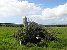 Image © Bawn79 © 2009