The Modern Antiquarian. Stone Circles, Ancient Sites, Neolithic Monuments, Ancient Monuments, Prehistoric Sites, Megalithic MysteriesThe Modern Antiquarian


Colmer's Hill

Sacred Hill

<b>Colmer's Hill</b>Posted by formicaantImage © Mike Rowland 17/09/09
Also known as:
  • Sigismund's Berg

Nearest Town:Bridport (2km E)
OS Ref (GB):   SY4402393658 / Sheet: 193
Latitude:50° 44' 21.21" N
Longitude:   2° 47' 36.17" W

Added by formicaant


Discussion Topics0 discussions
Start a topic


Show map   (inline Google Map)

Images (click to view fullsize)

Add an image Add an image
<b>Colmer's Hill</b>Posted by formicaant <b>Colmer's Hill</b>Posted by formicaant

Fieldnotes

Add fieldnotes Add fieldnotes
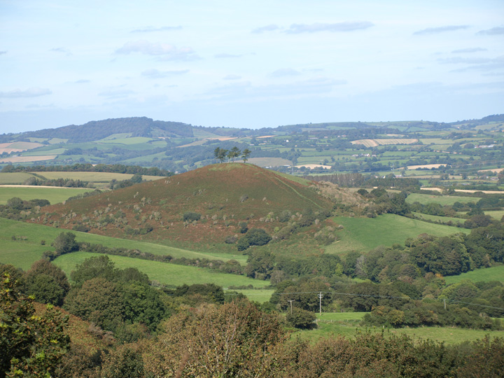
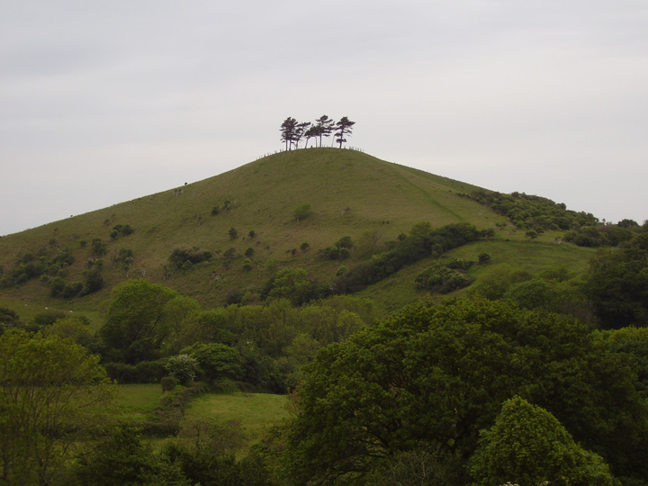
This is a very prominent hill, almost iconic in this part of Dorset. It can be seen from many places and the addition of the trees, during the first world war, makes it all the more visible.
Although the modern name is 19th century, after the reverend John Colmer the land owner. The original name was Sigismund's Berg, which gives the name to the adjacent village of Symondsbury.
Cope thinks it the centre piece of a sacred river valley, the rivers Brit, Simene and Asker converge nearby.
formicaant Posted by formicaant
18th September 2009ce
Edited 18th September 2009ce