Visited the site in July 2010 and took some photos.
Access to the site is best from Craster village itself. Follow signs for the smoke house (home of Craster Kippers) and turn right up Whin Hill just after the smoke house itself. Go straight up Whin Hill, straight across the first road you meet (slight, left, right kink crossroad) and Whin Hill turns into a track bearing left. A little later the track starts to turn to the right, ignore the right hand fork here and proceed west up the main track. Ahead you'll start to see the banking of the enclosure on the skyline.
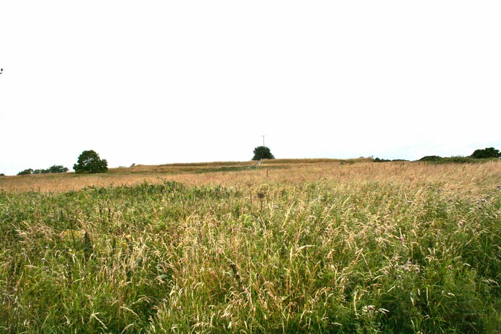
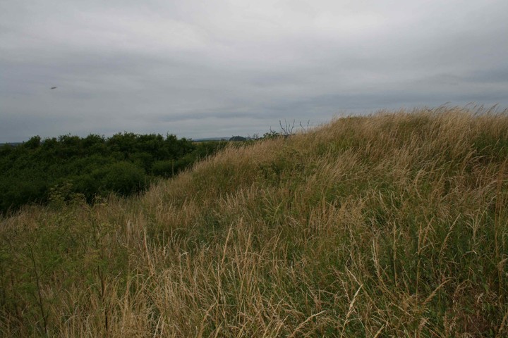
The site is listed as being an Iron Age enclosure. The "defended" area makes use of the natural cliffs for protection to the north and west, with raised banking (with at least a single ditch) to the east and south.
Roughly rectangular in shape around 50m North/South and 25m East/West at it's widest, tapering towards the north.
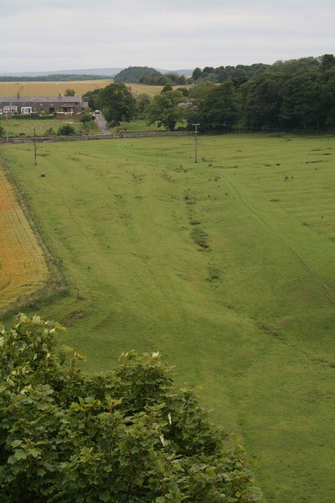
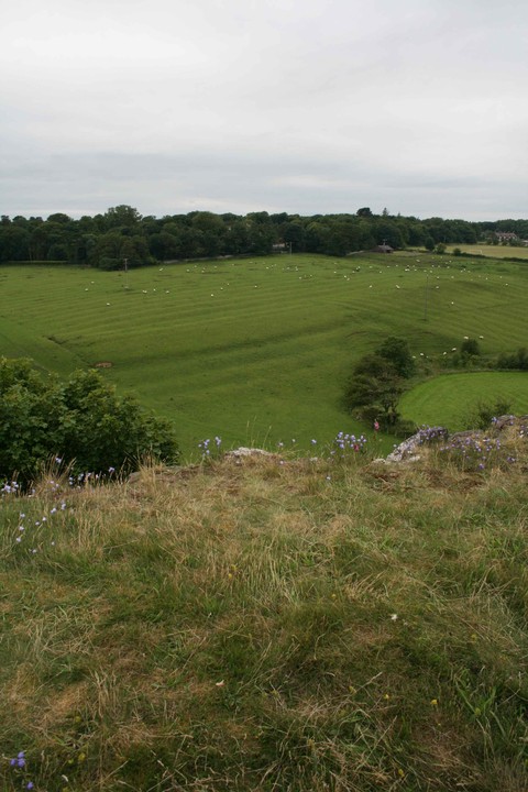
Bank and ditch are impressive from the east and look defensive in scale. The cliffs to the west offer great protection (careful here as there is no fencing around what is a 20+m drop) and great views.
Partially visible on Google Earth this Iron Age settlement is rectilinear in shape, protected on the western side by cliffs. There are ramparts on the other 3 sides, rising up to 1.8m high and 10m across at places. Looks to be defensive in nature.
The site lies about 200m south of the Caster road near public footpaths.

 Posted by mascot