The Modern Antiquarian. Stone Circles, Ancient Sites, Neolithic Monuments, Ancient Monuments, Prehistoric Sites, Megalithic MysteriesThe Modern Antiquarian


Hill Of New Leslie

Hillfort

<b>Hill Of New Leslie</b>Posted by drewbhoyImage © drew/amj
Also known as:
  • Cotetown

Nearest Town:Huntly (15km NNW)
OS Ref (GB):   NJ584254 / Sheet: 37
Latitude:57° 19' 2.31" N
Longitude:   2° 41' 26.74" W

Added by drewbhoy


Discussion Topics0 discussions
Start a topic


Show map   (inline Google Map)

Images (click to view fullsize)

Add an image Add an image
<b>Hill Of New Leslie</b>Posted by drewbhoy <b>Hill Of New Leslie</b>Posted by drewbhoy <b>Hill Of New Leslie</b>Posted by drewbhoy

Fieldnotes

Add fieldnotes Add fieldnotes
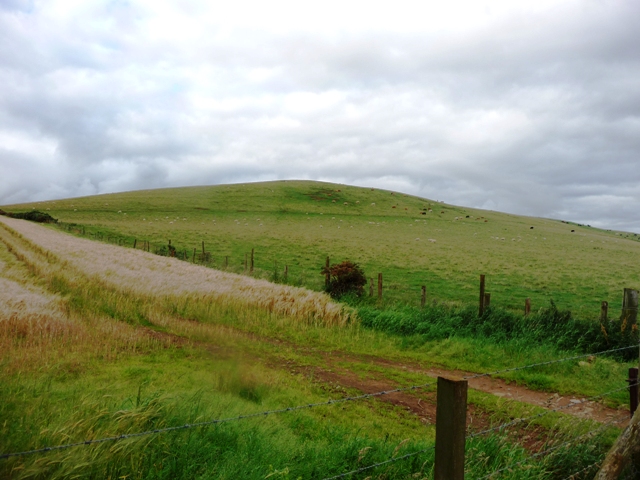
To the north of the Ringing Stone the Hill Of New Leslie stands looking up and down the Gadie Burn valley. This at one time must have been one of the biggest forts in the area although hardly any remains can be seen. Earthworks, barely visible, are on the northern slopes but most have long gone mainly thanks to agriculture. The best evidence for the fort is on aerial images so up goes the Canmore post.

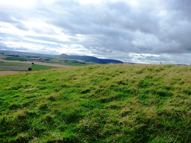
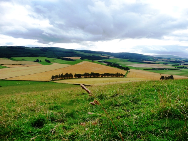
As is usual, up here, the Tap O Noth and Bennachie can be seen. The climb is fairly steep but rewarding for the views at the top.

Visited 16/08/09.
drewbhoy Posted by drewbhoy
16th August 2009ce
Edited 17th August 2009ce

Links

Add a link Add a link

RCAHMS


Some aerial images of the fort.
drewbhoy Posted by drewbhoy
16th August 2009ce