|
|

|
|
Kånna högarBarrow / Cairn Cemetery
|
||||||||||||||||||
|
|
|
Images (click to view fullsize) |
|
|
Fieldnotes |
|
|
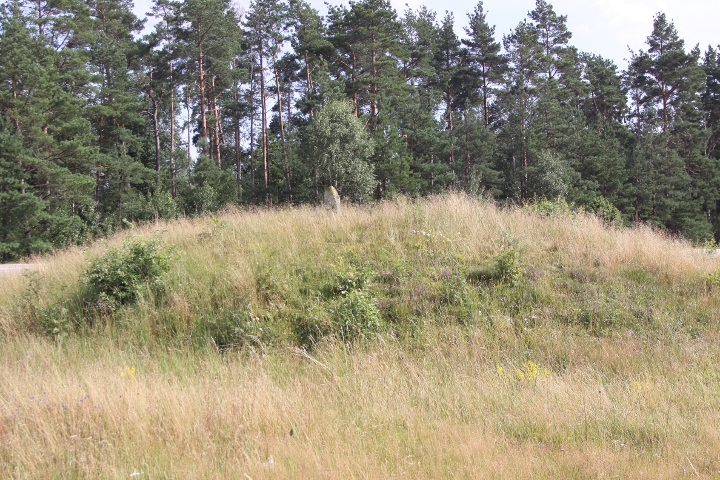
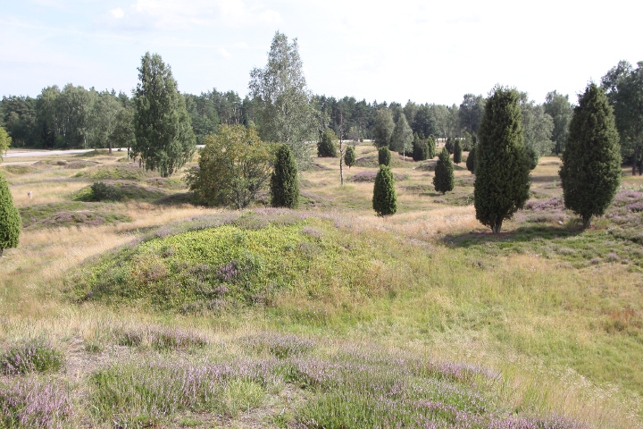
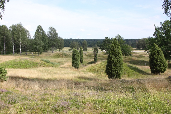
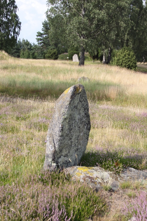
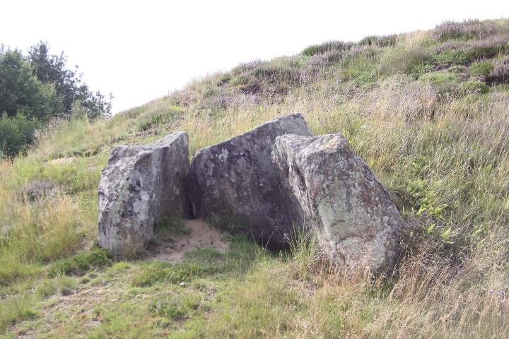
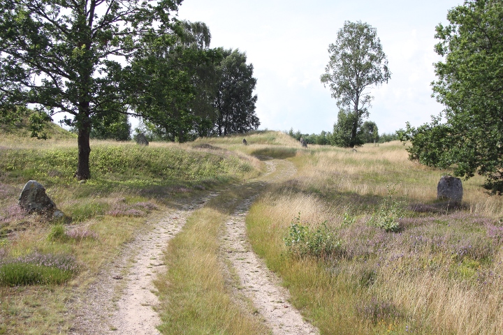
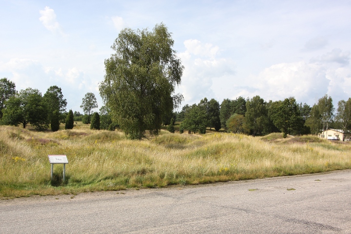
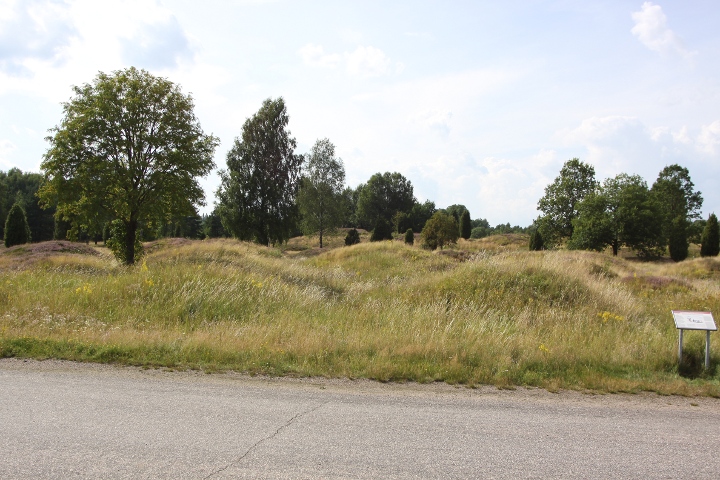
Kånna högar (Kånna barrows) is one of Småland's biggest grave fields. There are almost 300 graves, 230 barrows erected around 500-1000CE. From the older part (500BCE-500CE) there are 2 stone ring , 30 standing stones, 2 treuddar (tri-radial cairns), 15 ring cairns and a dolmen On the oldest part, from the bronze age (1800-500BCE) there is a cairn. There is an info board on the site in Swedish, English and German. The cemetery can clearly be seen in GE (or Google maps) How to get there: Drive towards the city Ljungby on highway E4, turn off at the south exit to Ljungby. Drive 700 metres towards Ljungby until the road curves to the left. There you turn right, and drive for 1 kilmometre. You will see the site to your right, but continue for about 200 metres until you see a sight sign with the word 'Gravfält' pointing to the right. Turn right and drive for 250 metres where you will find a parking spot. |
Posted by L-M K 13th August 2009ce Edited 13th August 2009ce |