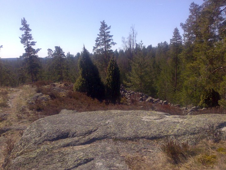
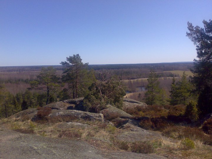
The fort lies on the edge of a mountain at the border between the forest and the open plain. Close by, runs the river Järleån, which was an important means of travel.
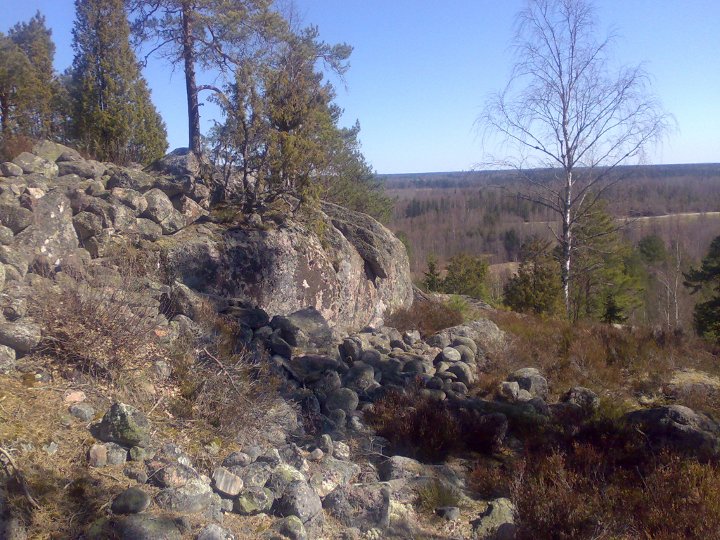
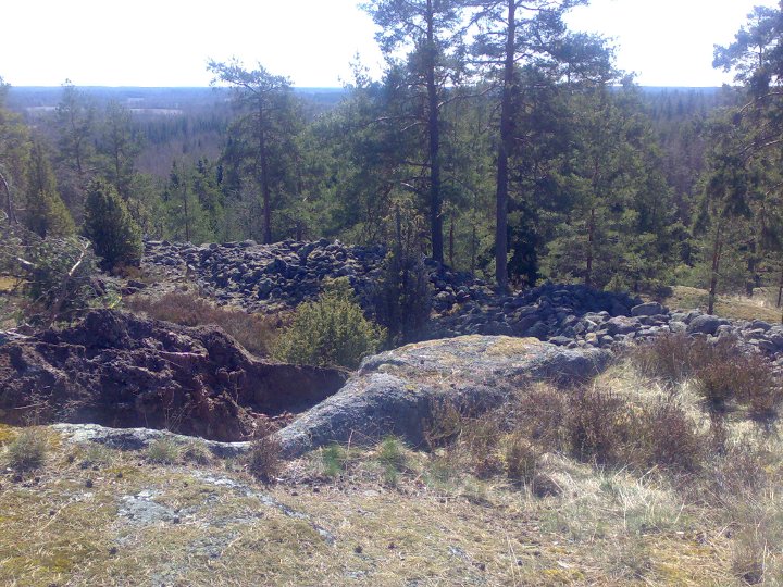
The fort had natural protection on three sides, with steep, 20 metre deep slopes, and the fourth side was protected by a stone wall. The wall has fallen apart, and looks now more like a bank, but close to the entrance, the wall is better preserved.
Info board on site in Swedish, English and German.
How to get there:
Drive 20 kilometres northward on road 50 from the crossing of highway E20 and road 50.
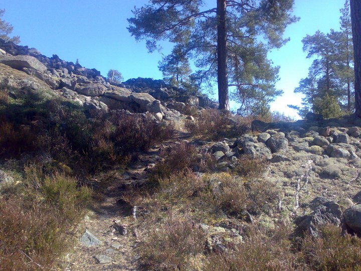
On the right side you will find a truck parking spot. Park the car there, and immediately north of the parking spot there is a small gravel road to the right. Walk 200 metres and then turn right onto a small track. After about 200 metres you are at the spot.