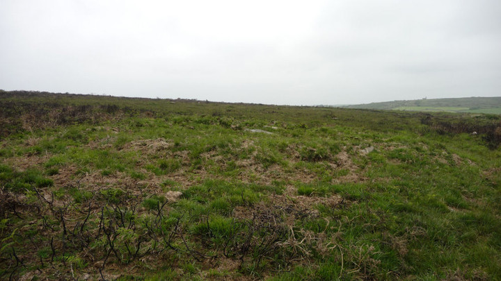
Shown on the OS as "tumuli", these two round barrows are easily visited from Bodrifty Iron Age Settlement. Take the path that leaves the north east corner of the settlement. Just before the path passes into the signposted access land area, the two barrows lie on either side.
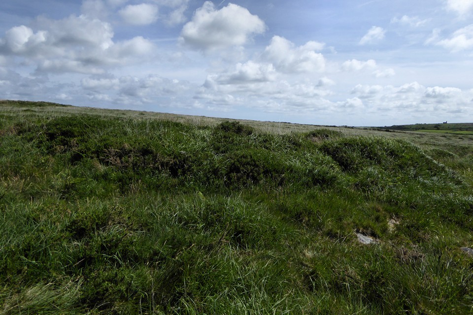
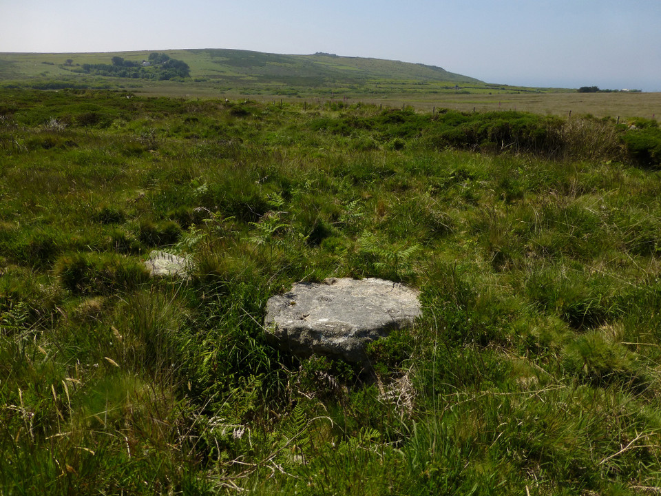
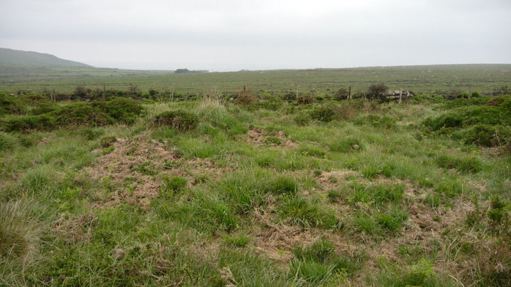
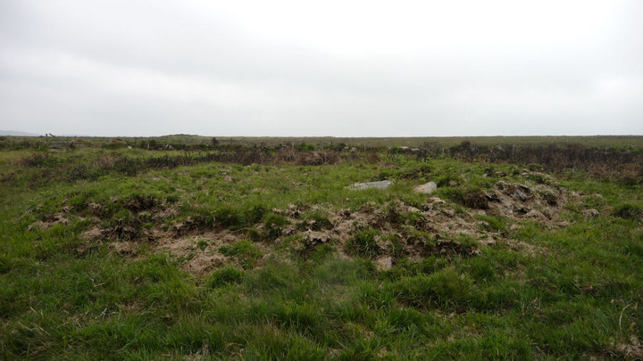
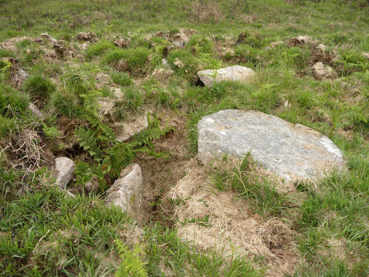
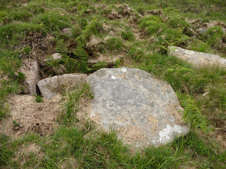
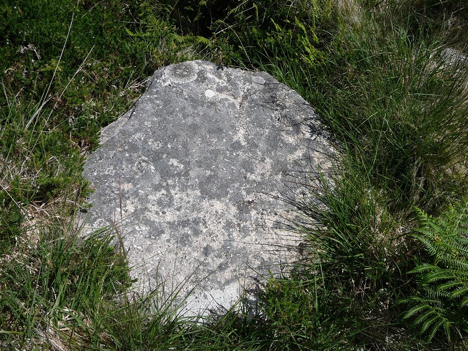
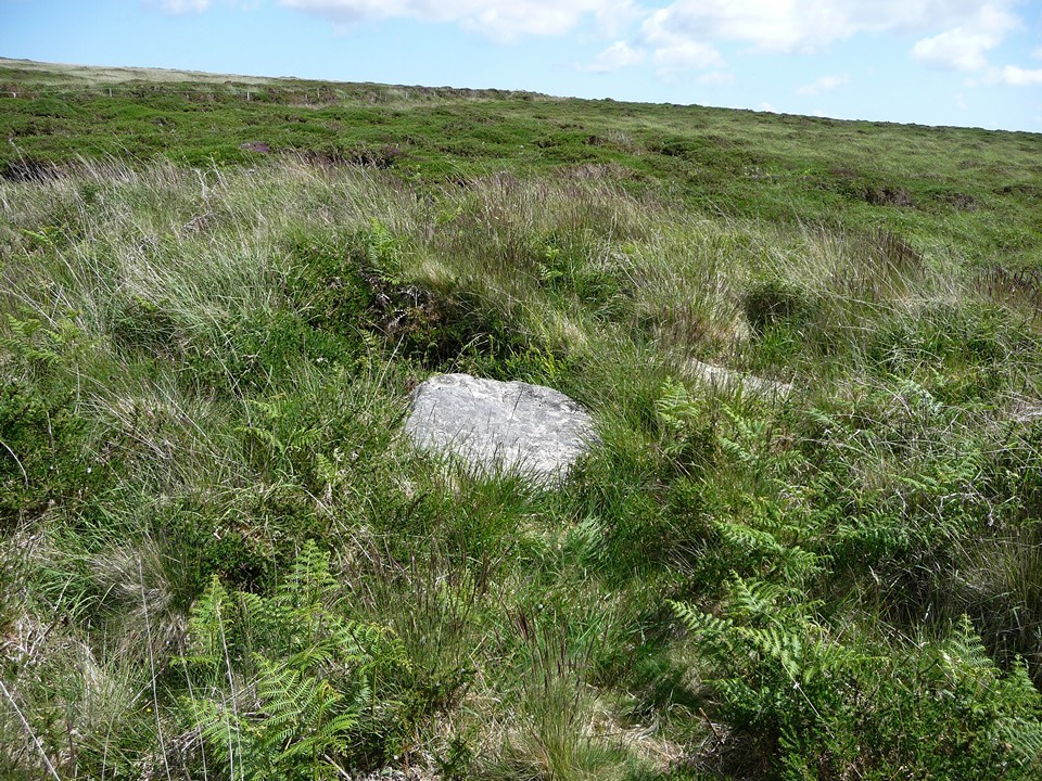
The NW barrow is very low and difficult to see, but the SE barrow is easy to make out, even in summer vegetation. A capstone or the top of a cist is visible in the centre of the barrow.
Not worth a special trip, but can be seen easily if you're visiting the settlement or walking from there up to Mulfra Hill round barrows or Mulfra Quoit.
SW 4463 3568A slightly oval bowl barrow, 8.0m x 7.0m with no trace of a ditch. It s average height is 0.7 m, and a slight depression in the top suggests that an attempt has been made at excavation.
SW 4465 3568 An almost circular, ditchless bowl barrow 11.5m in diameter and 1.0m high. The cist is in the southern quadrant. It is 1.0m square and 1.0m deep. Two side slabs are in place, a third lying at an angle inside the cist and what is probably the fourth lying on top of the barrow beside the capstone.
Both barrows are grass covered and a 25" survey of them has been made.

 Posted by thesweetcheat