Stupidly I trusted the OS map to be correct and expected a clear climb to cairn which sits near the top of Mormand Hill, behind Mormand farm at Strichen. After walking the first field I was met with an unpassable amount of whins (more like jabby things). Walking back towards the west I eventually found the remains of a path going uphill. This I followed until I chanced a sheep path leading thru the whins, just. More like wading into a ocean of little needles.
This lands onto an old road beside the White Horse, there is a stag on other side plus a former NATO early warning station, beneath the house at the top. This house has the title of Witches Lodge. There is also a smallish cairn beside it.
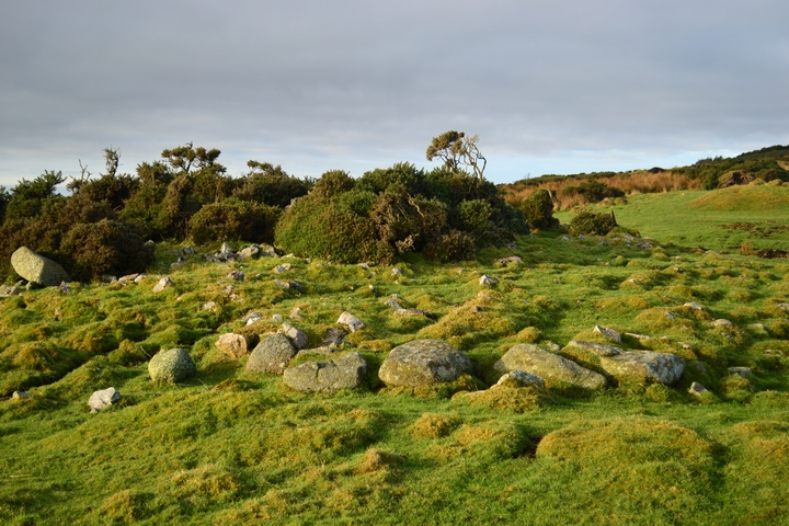
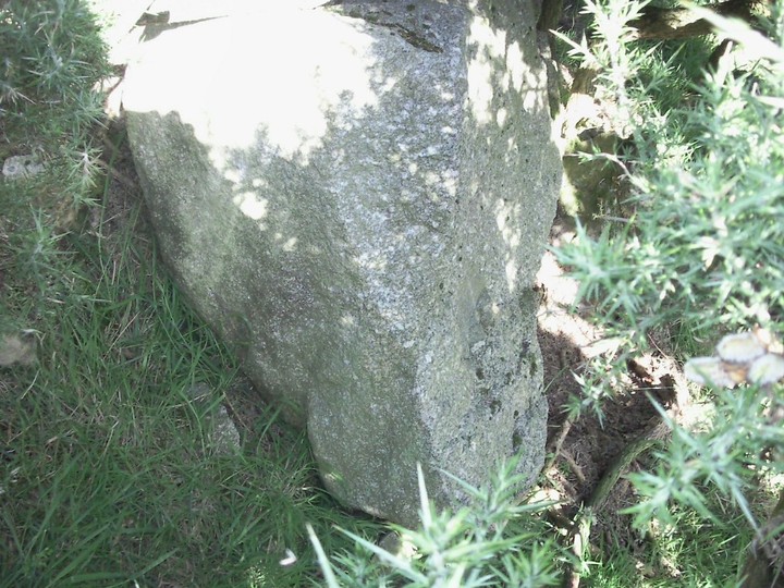
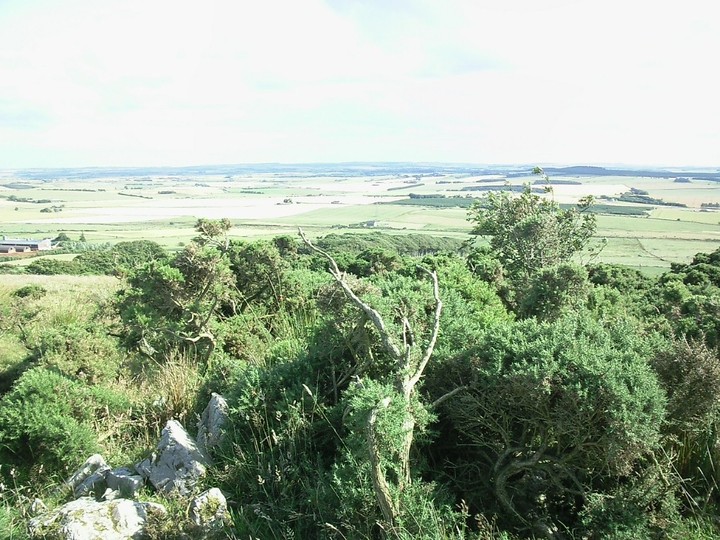
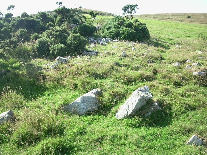
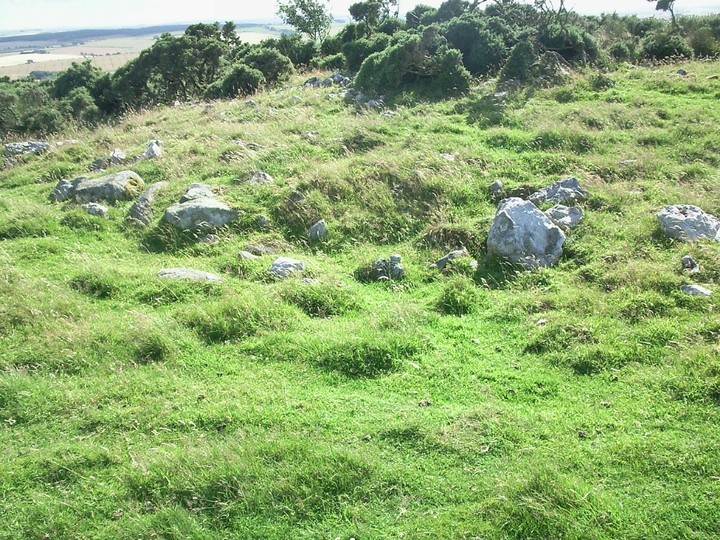
The cairn is a short distance ,a further 1/4 mile east, being beside the road being almost 50 feet wide. Most of the north eastern kerbs, quartz and granite, are there although some have been disturbed at some point. In the middle the cairn, at 4 feet in height, is covered with some stones, the bottom half being covered in whins. The southern arc has four massive boulders for kerbs. These are hard to locate because of the density of the undergrowth. However the scenery towards east, west and south is staggering, Bennachie and the highlands can be seen in the distance.
It is also called the resting cairn as "mourners used the cairn as a coffin rest stop." Why up here? Then again why not!
To get back down I followed the road until the whins stopped, almost jumped a ditch and walked/limped another 2 miles to the car. At least it didn't rain.
(A walk from the center of Strichen also leads to the stag and Witches Lodge. Damn!!)